Sedgy Wood
Wood, Forest in Sussex Mid Sussex
England
Sedgy Wood
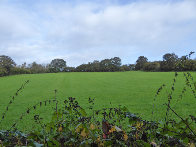
Sedgy Wood is a picturesque woodland located in Sussex, England. Covering an area of approximately 100 acres, it is nestled in the heart of the South Downs National Park, offering visitors a serene and tranquil escape from the hustle and bustle of everyday life.
The woodland is predominantly composed of ancient oak and beech trees, which form a dense canopy overhead, creating a shaded and cool environment even during the warm summer months. The forest floor is carpeted with a diverse range of flora and fauna, including bluebells, wild garlic, and various species of ferns.
Sedgy Wood is a haven for wildlife enthusiasts, as it provides a refuge for numerous species of birds, mammals, and insects. Birdsong fills the air, with woodpeckers, nuthatches, and thrushes among the many species that call the woodland home. Foxes, badgers, and deer can occasionally be spotted, adding to the natural charm and beauty of the area.
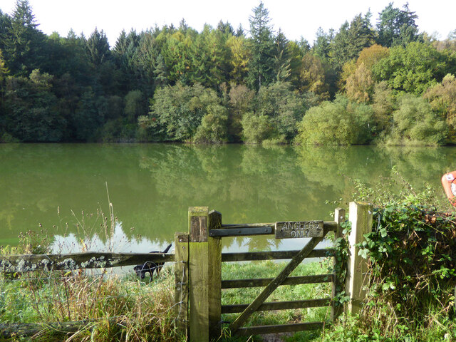
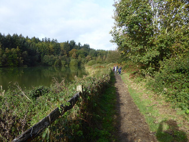
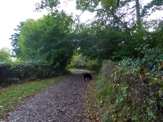
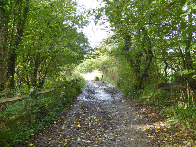
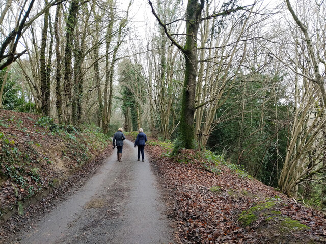
The wood is crisscrossed by a network of well-maintained footpaths, allowing visitors to explore and immerse themselves in the natural wonders of the forest. These paths lead to secluded clearings and hidden ponds, offering tranquil spots for reflection and relaxation.
Sedgy Wood is a popular destination for walkers, joggers, and nature enthusiasts alike. Its convenient location, just a short distance from the nearby village of Sedgy, makes it easily accessible for both locals and tourists. Whether seeking solitude, a family outing, or a chance to reconnect with nature, Sedgy Wood offers a truly enchanting experience in the heart of Sussex.
If you have any feedback on the listing, please let us know in the comments section below.
Sedgy Wood Images
Images are sourced within 2km of 51.059743/-0.11818379 or Grid Reference TQ3130. Thanks to Geograph Open Source API. All images are credited.


Sedgy Wood is located at Grid Ref: TQ3130 (Lat: 51.059743, Lng: -0.11818379)
Administrative County: West Sussex
District: Mid Sussex
Police Authority: Sussex
What 3 Words
///lashed.used.slung. Near Balcombe, West Sussex
Nearby Locations
Related Wikis
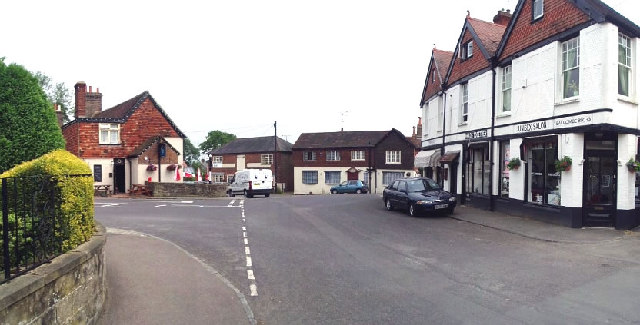
Balcombe
Balcombe is a village and civil parish in the Mid Sussex District of West Sussex, England. It lies 31 miles (50 km) south of London, 16 miles (26 km) north...

Balcombe railway station
Balcombe railway station is on the Brighton Main Line in England, serving the village of Balcombe, West Sussex. It is 33 miles 64 chains (54.4 km) down...
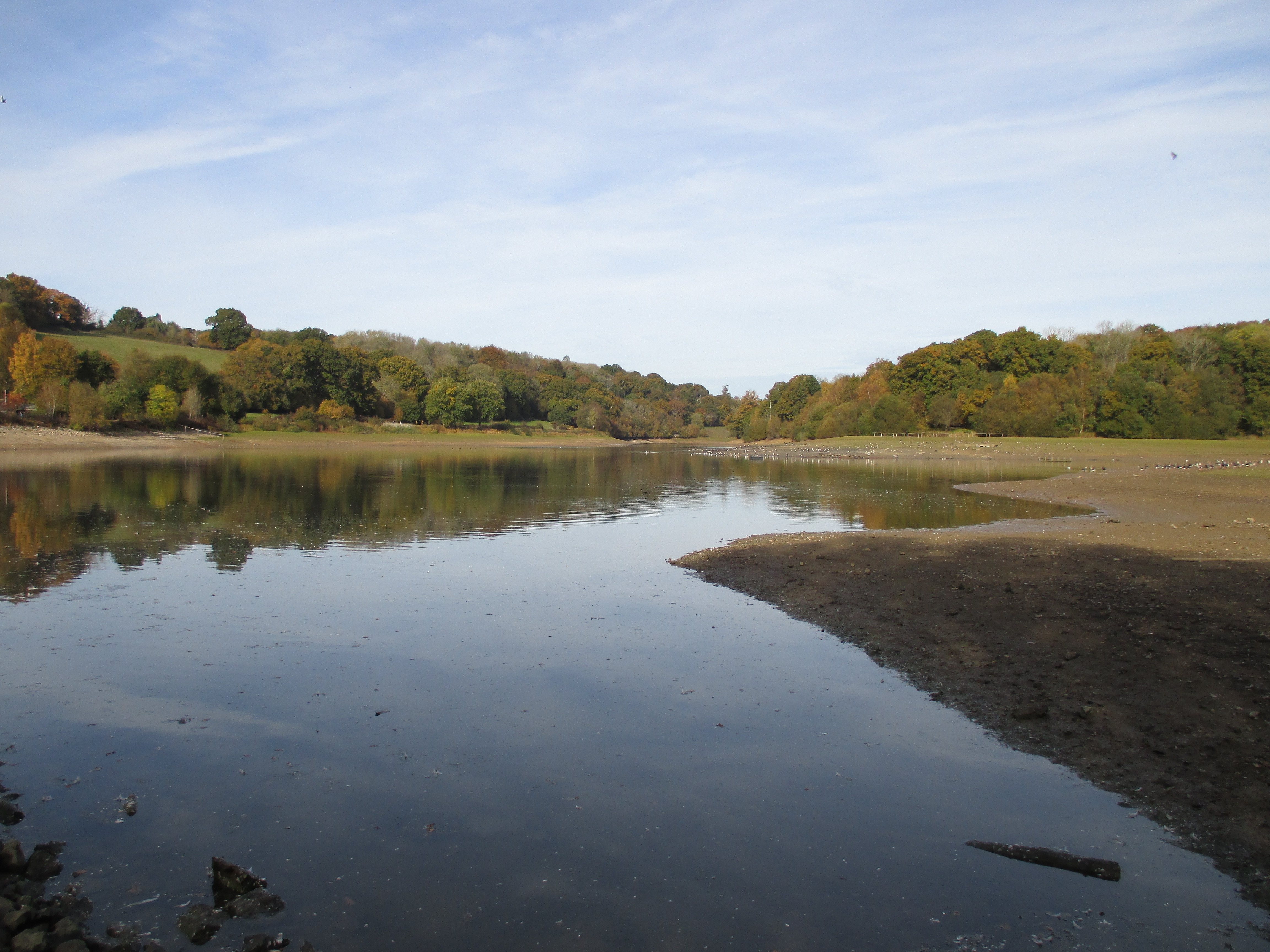
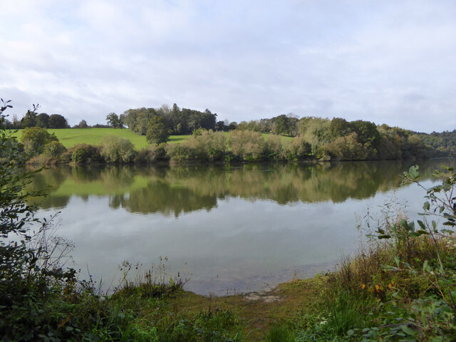
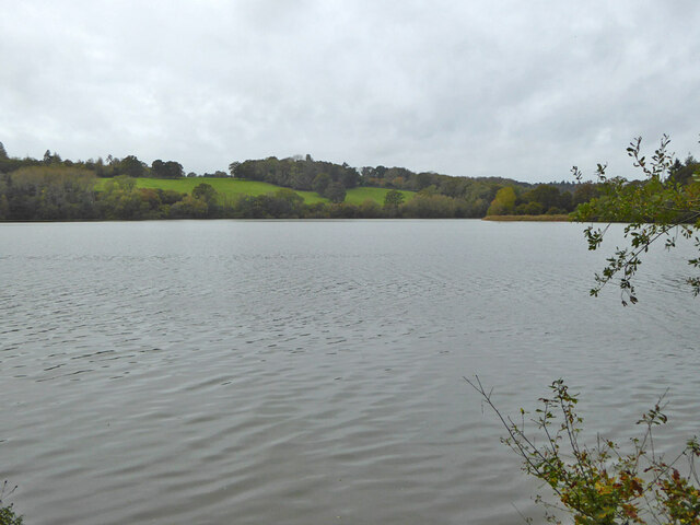
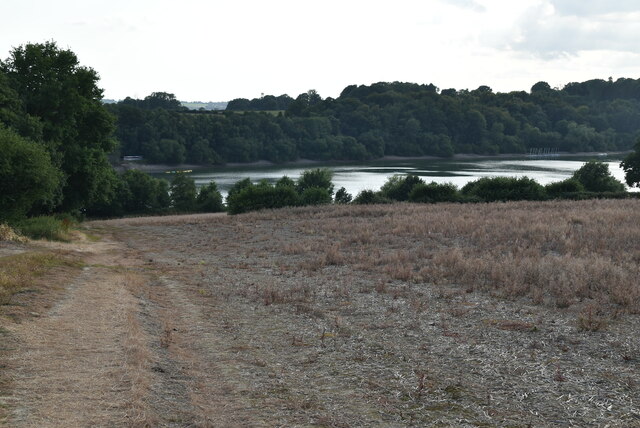
Ardingly Reservoir
Ardingly Reservoir is west of Ardingly in West Sussex. The southern end is a 74.5-hectare (184-acre) Local Nature Reserve owned and managed by South East...
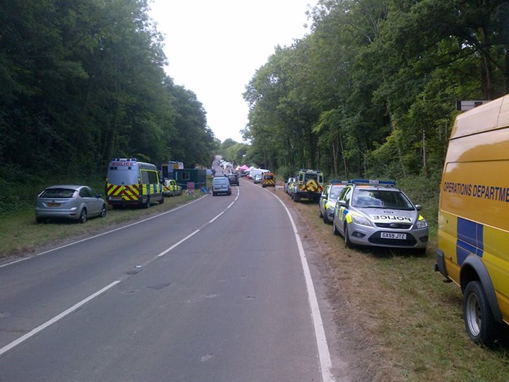
Balcombe drilling protest
The Balcombe drilling protest occurred when test drilling and possible fracking for petroleum were proposed in 2012 near Balcombe, a village in West Sussex...

South of England Show
The South of England Show is a county show held annually at its own showground in Ardingly, Sussex during June.The show was founded in 1967 and is organised...

St Peter's Church, Ardingly
St Peter's Church is the Church of England parish church of the parish of Ardingly in Mid Sussex, one of seven local government districts in the English...

Millennium Seed Bank Partnership
The Millennium Seed Bank Partnership (MSBP or MSB), formerly known as the Millennium Seed Bank Project, is the largest ex situ plant conservation programme...

Wakehurst Place
Wakehurst, previously known as Wakehurst Place, is a house and botanic gardens in West Sussex, England, owned by the National Trust but used and managed...
Nearby Amenities
Located within 500m of 51.059743,-0.11818379Have you been to Sedgy Wood?
Leave your review of Sedgy Wood below (or comments, questions and feedback).