Bardon Clumps
Wood, Forest in Hertfordshire East Hertfordshire
England
Bardon Clumps

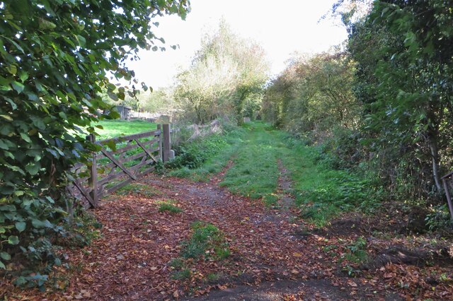
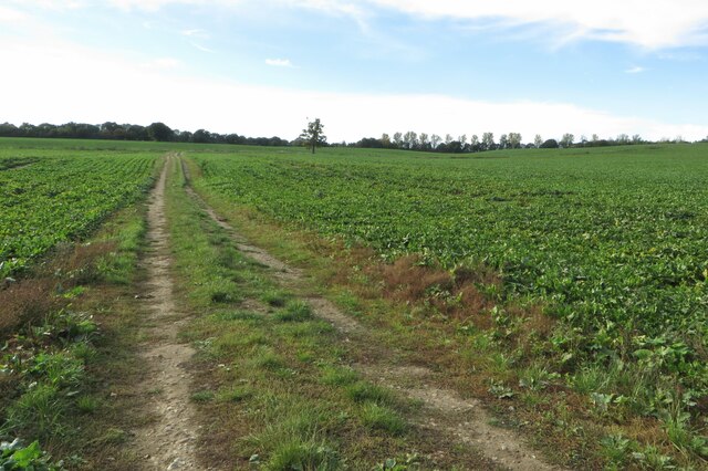
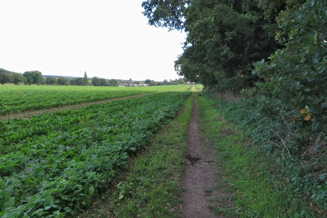
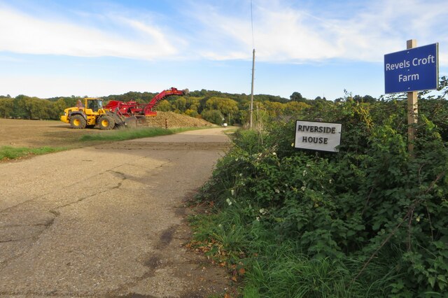
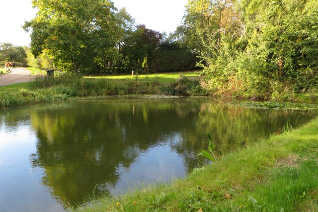
Bardon Clumps, located in Hertfordshire, England, is a picturesque woodland area known for its natural beauty and serene ambiance. It is situated near the village of Bovingdon and covers an area of approximately 25 hectares. Bardon Clumps is a popular destination for nature enthusiasts, hikers, and families looking for a peaceful retreat.
The woodland is primarily composed of a mix of deciduous and coniferous trees, including oak, beech, birch, and pine. This diverse range of tree species creates a rich and vibrant ecosystem, supporting various wildlife, including deer, squirrels, and a wide array of bird species.
The area is well-maintained and features a network of well-marked footpaths, making it easy for visitors to explore the woodlands and enjoy the stunning views. Additionally, there are several picnic areas and benches scattered throughout the site, providing visitors with the opportunity to relax and immerse themselves in nature.
Bardon Clumps is also home to an ancient hillfort, believed to have been constructed during the Iron Age. The hillfort offers a glimpse into the area's rich history and attracts history enthusiasts. Furthermore, the woodland is renowned for its bluebell displays in the spring, creating a breathtaking carpet of vibrant blue flowers.
Overall, Bardon Clumps offers a tranquil and idyllic setting, perfect for those seeking a peaceful escape from the hustle and bustle of everyday life. Whether it's a leisurely stroll, a family picnic, or an exploration of the area's history, Bardon Clumps provides a delightful experience for visitors of all ages.
If you have any feedback on the listing, please let us know in the comments section below.
Bardon Clumps Images
Images are sourced within 2km of 51.823745/-0.087370301 or Grid Reference TL3115. Thanks to Geograph Open Source API. All images are credited.


Bardon Clumps is located at Grid Ref: TL3115 (Lat: 51.823745, Lng: -0.087370301)
Administrative County: Hertfordshire
District: East Hertfordshire
Police Authority: Hertfordshire
What 3 Words
///glad.chose.magma. Near Hertford, Hertfordshire
Nearby Locations
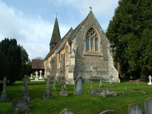
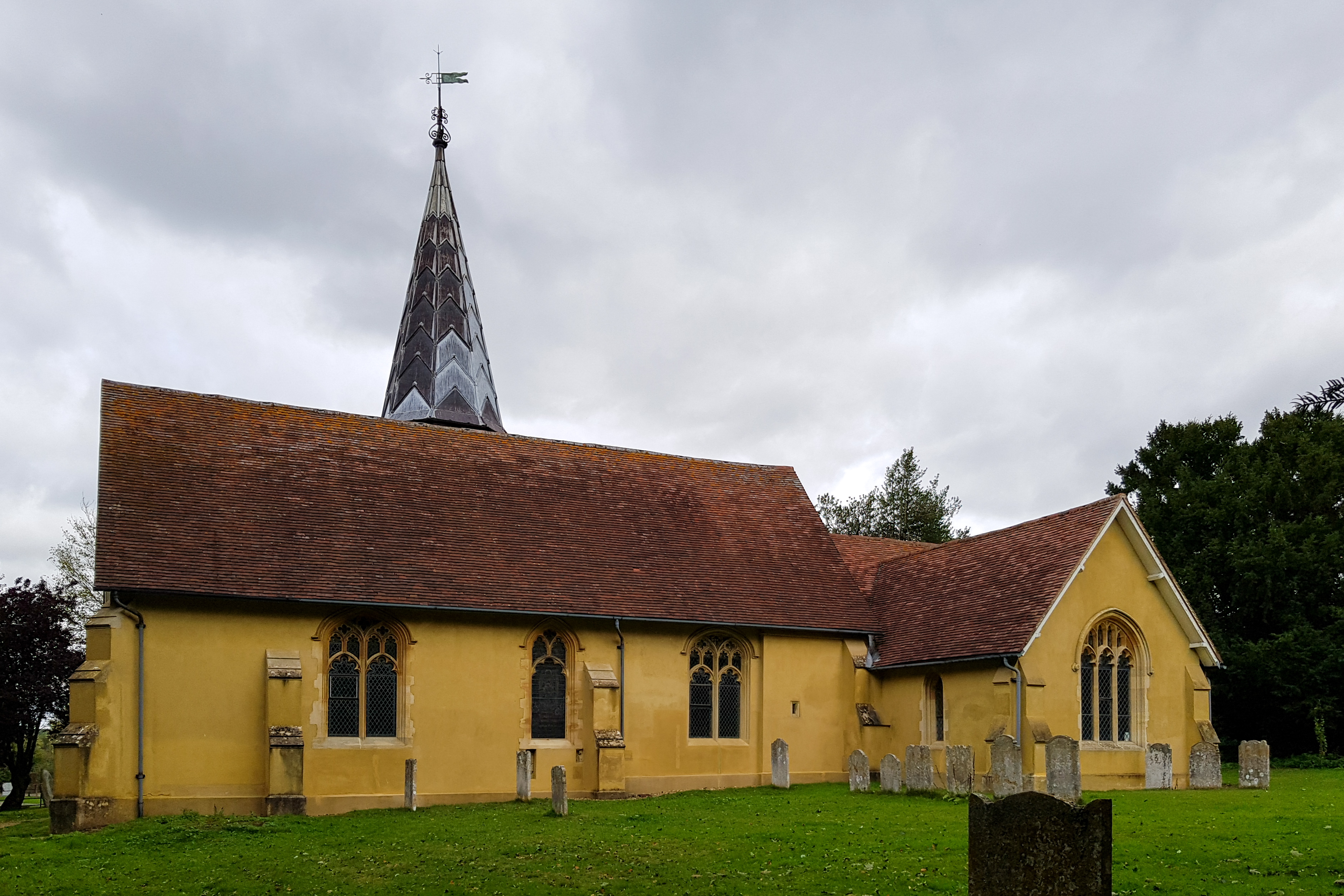
Related Wikis

Waterford Heath
Waterford Heath is a 35.2 hectare Local Nature Reserve in Waterford in Hertfordshire, England. It is owned by Lafarge Tarmac and managed by the Herts and...

Nursery Row Park
Nursery Row Park is a park in Walworth, London. It is located between Brandon, Stead and Orb Streets, and the East Street Market. It is in the London Borough...
Waterford, Hertfordshire
Waterford is a village in the East Hertfordshire district of Hertfordshire, England. It is located on the A119 road, around 2.5 km (1.6 miles) north of...
Stapleford, Hertfordshire
Not to be confused with Stapleford, Nottinghamshire. Stapleford is a village and civil parish of 134 acres (54 ha) on the A119 road, in the East Hertfordshire...
Chapmore End
Chapmore End is a hamlet in Bengeo Rural parish, Hertfordshire. At the 2011 Census the population of the hamlet was included in the town of Ware. The village...

Stapleford railway station
Stapleford railway station was a station on the Hertford Loop Line, and was situated in the village of Stapleford, Hertfordshire, England. == History... ==
Bengeo Rural
Bengeo Rural is a civil parish in the East Hertfordshire district of Hertfordshire, England. According to the 2001 census it had a population of 601,...

Goldings estate
Goldings Estate is a large Elizabethan style country house and surrounding land close to Waterford, north of Hertford, Hertfordshire, England. The house...
Nearby Amenities
Located within 500m of 51.823745,-0.087370301Have you been to Bardon Clumps?
Leave your review of Bardon Clumps below (or comments, questions and feedback).