Bridgeham Wood
Wood, Forest in Surrey Tandridge
England
Bridgeham Wood
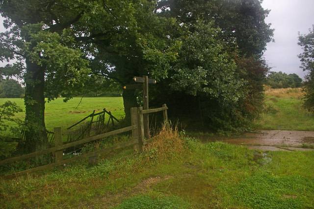
Bridgeham Wood is a scenic woodland located in Surrey, England. Covering an area of approximately 100 acres, it is situated near the village of Rowhook. The wood is part of the larger Forest of Surrey and is known for its natural beauty and diverse wildlife.
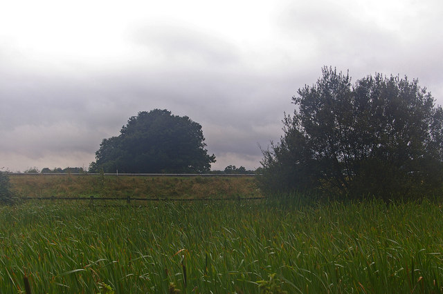
The wood is predominantly composed of deciduous trees, including oak, beech, and birch, which create a dense canopy overhead. This provides a tranquil and shaded environment, making it a popular destination for nature enthusiasts and walkers. The woodland floor is covered in a rich carpet of bluebells during the spring months, creating a picturesque setting.
Bridgeham Wood is home to a wide variety of wildlife, including numerous bird species, such as woodpeckers, owls, and thrushes. Mammals such as foxes, badgers, and deer can also be spotted in the area. The wood's diverse ecosystem supports a range of smaller creatures, including insects, amphibians, and reptiles.
The wood is easily accessible, with well-marked trails and footpaths that lead visitors through its enchanting scenery. There are also picnic areas and benches strategically placed throughout the wood, allowing visitors to rest and enjoy the peaceful surroundings.
Conservation efforts play a significant role in maintaining the natural beauty of Bridgeham Wood. Local authorities and environmental organizations work together to protect the woodland and its inhabitants, ensuring its preservation for future generations to enjoy.
In conclusion, Bridgeham Wood in Surrey offers a serene and picturesque escape from the hustle and bustle of everyday life. Its diverse flora and fauna, well-maintained trails, and commitment to conservation make it a must-visit destination for nature lovers and those seeking tranquility in the heart of Surrey's countryside.
If you have any feedback on the listing, please let us know in the comments section below.
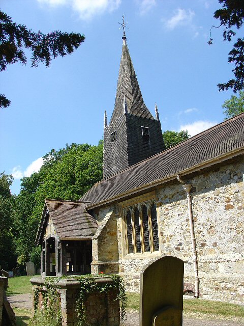
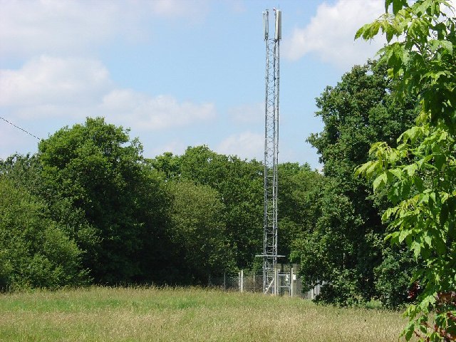
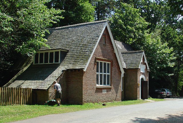
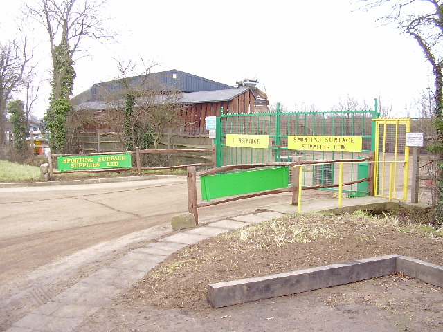
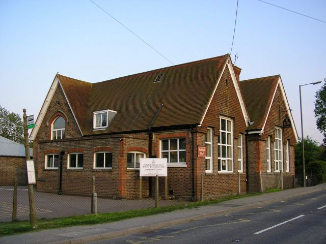
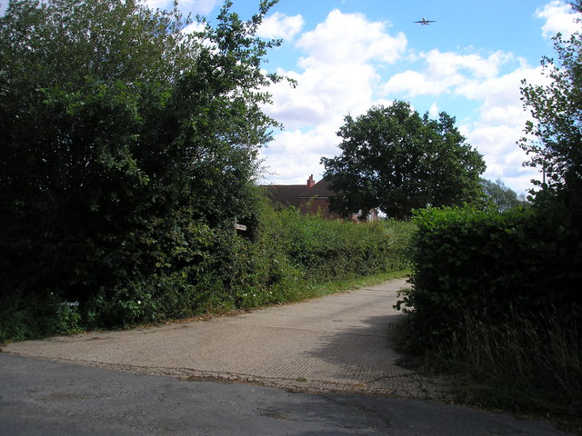
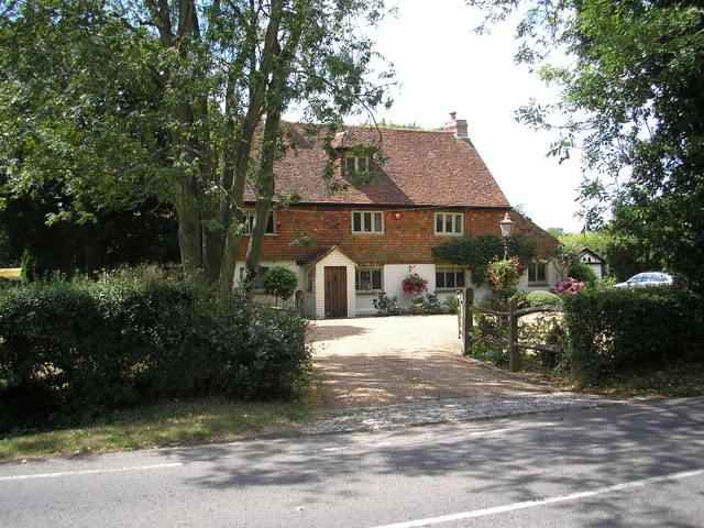
Bridgeham Wood Images
Images are sourced within 2km of 51.169881/-0.12205794 or Grid Reference TQ3142. Thanks to Geograph Open Source API. All images are credited.


Bridgeham Wood is located at Grid Ref: TQ3142 (Lat: 51.169881, Lng: -0.12205794)
Administrative County: Surrey
District: Tandridge
Police Authority: Surrey
What 3 Words
///poem.acid.trap. Near Horley, Surrey
Nearby Locations
Related Wikis

Burstow
Burstow is a village and civil parish in the Tandridge district of Surrey, England. Its largest settlement is Smallfield. Smallfield is 2.5 miles (4.0...

Fernhill, West Sussex
Fernhill is a hamlet close to Gatwick Airport in West Sussex, England. Its fields and farmhouses formerly straddled the county boundary between Surrey...

Ariana Afghan Airlines Flight 701
Ariana Afghan Airlines Flight 701 was the flight involved in a fatal air accident on 5 January 1969, when a Boeing 727 with 62 people on board crashed...
Oakwood School, Horley
Oakwood School is a community secondary school located in Horley, Surrey, England. It is co-educational and caters for students in the 11–16 age range...

Outwood, Surrey
Outwood is a village and civil parish in the Tandridge district of the Surrey weald. == Geography == Outwood is separated from Redhill by the M23 which...

Horne, Surrey
Horne is a rural village and civil parish in the District of Tandridge in Surrey, England. The parish includes the hamlet of Newchapel, where the British...

Horley railway station
Horley railway station serves the town of Horley in Surrey, England. It is on the Brighton Main Line, 25 miles 60 chains (41.4 km) down the line from London...
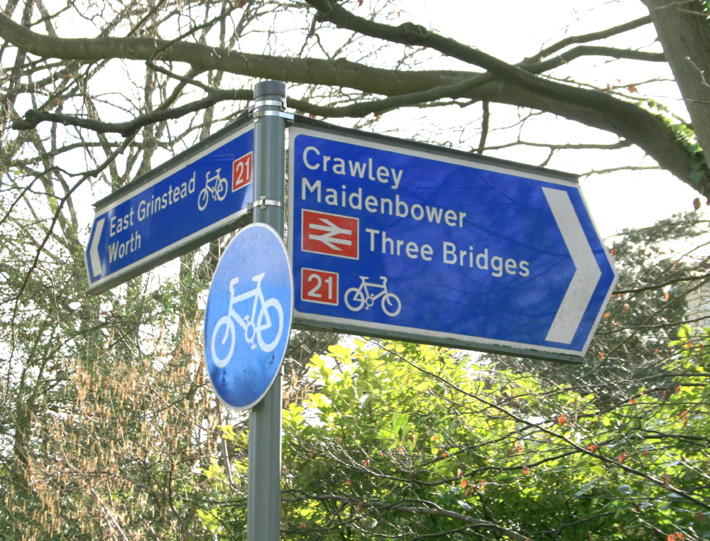
National Cycle Route 21
National Cycle Route 21 (or NCR 21) is part of the United Kingdom's National Cycle Network. It runs from Greenwich in South-East London south to Crawley...
Nearby Amenities
Located within 500m of 51.169881,-0.12205794Have you been to Bridgeham Wood?
Leave your review of Bridgeham Wood below (or comments, questions and feedback).