Bourn Wood
Wood, Forest in Cambridgeshire South Cambridgeshire
England
Bourn Wood
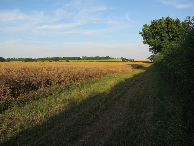
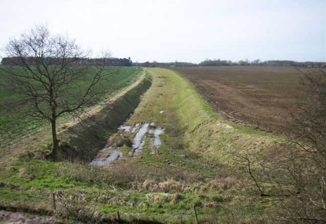
Bourn Wood, located in Cambridgeshire, England, is a picturesque woodland encompassing an area of approximately 400 acres. This ancient woodland is predominantly made up of oak and ash trees, with an understory of hazel and holly. The wood is situated on a gently sloping terrain, providing a varied landscape of woodland glades and steep valleys.
Bourn Wood is renowned for its rich biodiversity, offering a habitat for a wide range of flora and fauna. The wood supports a diverse array of plant species, including bluebells, wood anemones, and wild garlic, which create a colorful carpet during the spring season. The abundance of trees provides a suitable nesting site for various bird species, such as tawny owls, woodpeckers, and nuthatches. The wood is also home to several mammal species, including badgers, foxes, and deer.
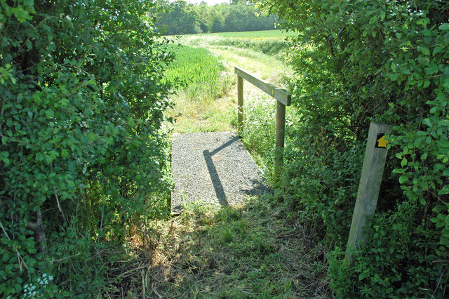
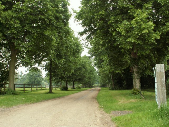
The woodland is crisscrossed by a network of footpaths and trails, making it a popular destination for walkers, nature enthusiasts, and dog owners. These paths lead visitors through the enchanting woodland, allowing them to immerse themselves in the tranquility of nature. Bourn Wood also offers opportunities for recreational activities such as bird watching, photography, and picnicking.
Managed by the Wildlife Trust, Bourn Wood is protected and preserved to maintain its ecological importance. The wood serves as an essential green space, providing a haven for wildlife and offering visitors a peaceful retreat away from the hustle and bustle of urban life.
If you have any feedback on the listing, please let us know in the comments section below.
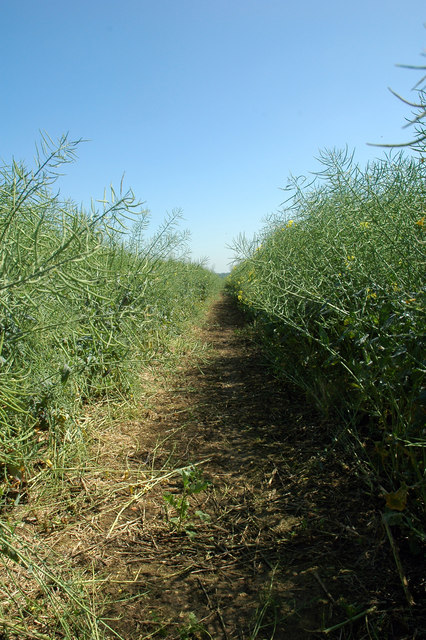
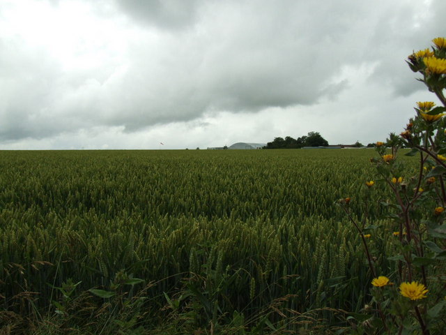
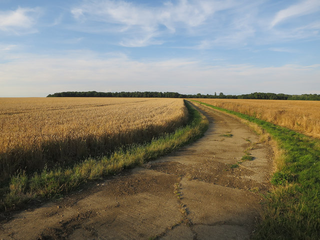
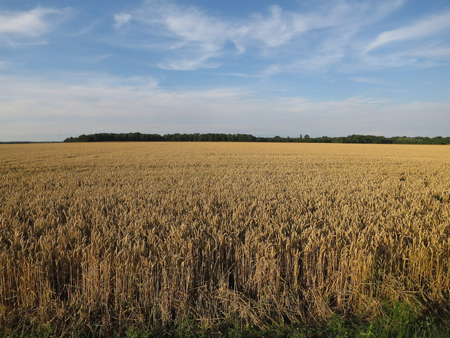
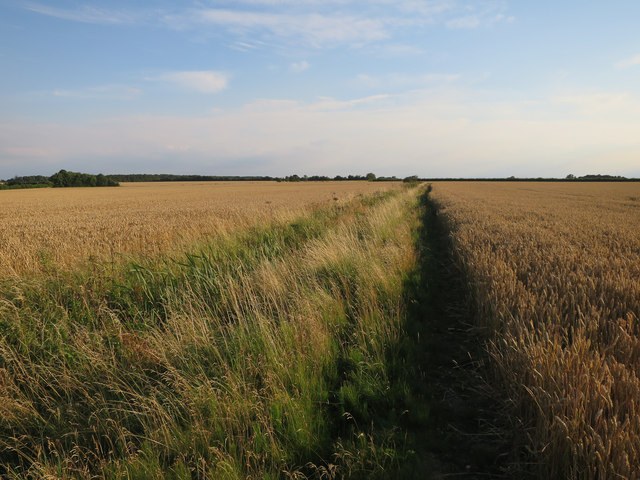
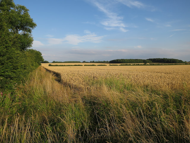
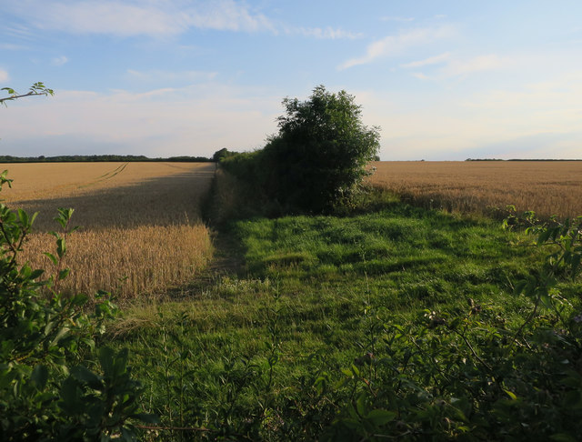
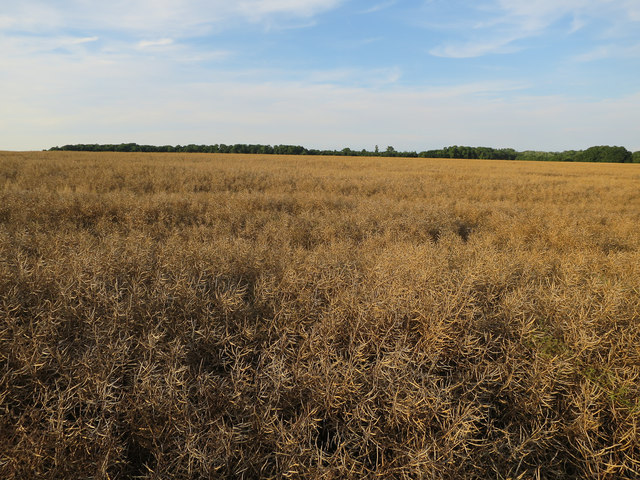
Bourn Wood Images
Images are sourced within 2km of 52.182679/-0.080446735 or Grid Reference TL3155. Thanks to Geograph Open Source API. All images are credited.

Bourn Wood is located at Grid Ref: TL3155 (Lat: 52.182679, Lng: -0.080446735)
Administrative County: Cambridgeshire
District: South Cambridgeshire
Police Authority: Cambridgeshire
What 3 Words
///kinks.chitchat.decorator. Near Great Gransden, Cambridgeshire
Nearby Locations
Related Wikis

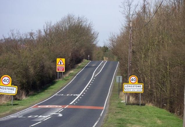
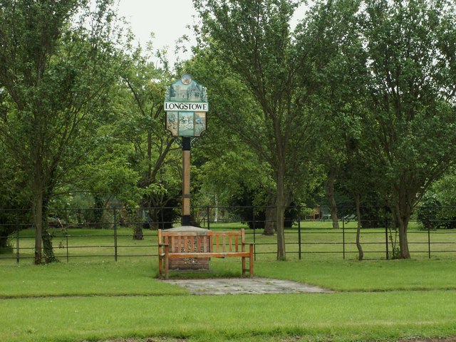
Longstowe
Longstowe is a civil parish and small rural village of nearly 200 residents in South Cambridgeshire, England, 12 miles (19 km) west of Cambridge. The population...

Wysing Arts Centre
Wysing Arts Centre is a contemporary arts residency centre and campus for artistic production, experimentation and learning in South Cambridgeshire, England...
Old North Road railway station
Old North Road was a railway station on the Varsity Line which served the small village of Longstowe near Bourn in Cambridgeshire. As its name suggests...
Bourn Castle
Bourn Castle was in the village of Bourn in Cambridgeshire, 10 miles to the west of Cambridge (grid reference TL322562). It originally consisted of wooden...

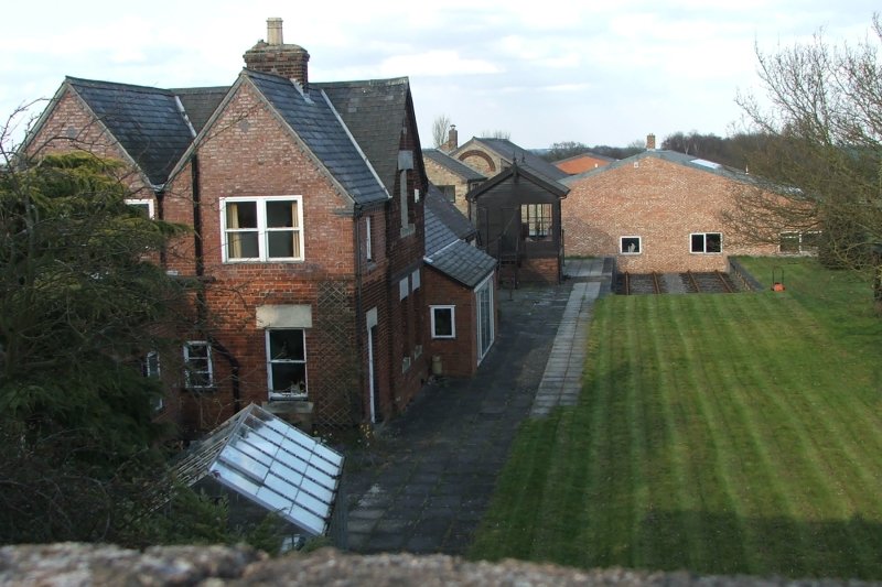
Bourn Hall Clinic
Bourn Hall Clinic in Bourn, Cambridgeshire, England, is a centre for the treatment of infertility. The original building, Bourn Hall, is about 400 years...
Bourn
Bourn is a small village and civil parish in South Cambridgeshire, England. Surrounding villages include Caxton, Eltisley and Cambourne. It is 8 miles...

Kingston Wood and Outliers
Kingston Wood and Outliers is a 47.4-hectare (117-acre) biological Site of Special Scientific Interest south-west of Kingston in Cambridgeshire. The site...
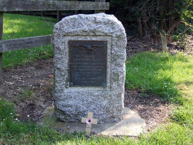
Gransden Lodge Airfield
Gransden Lodge Airfield is a former wartime airfield located 10.1 mi (16.3 km) west of Cambridge, Cambridgeshire, England. The Cambridge University Gliding...
Nearby Amenities
Located within 500m of 52.182679,-0.080446735Have you been to Bourn Wood?
Leave your review of Bourn Wood below (or comments, questions and feedback).