Bachelor's Wood
Wood, Forest in Hertfordshire North Hertfordshire
England
Bachelor's Wood
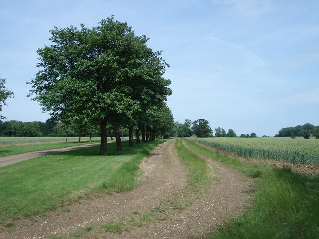
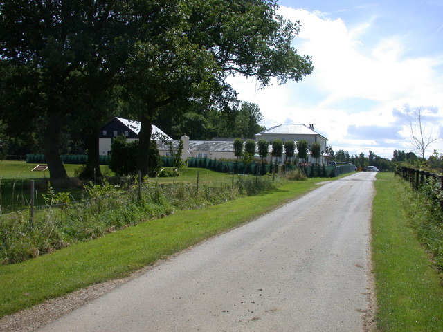
Bachelor's Wood is a picturesque woodland located in the county of Hertfordshire, England. Situated near the village of Ayot St Lawrence, this woodland covers an area of approximately 25 acres. The wood is named after John Bachelor, a local landowner who owned the area during the 19th century.
The wood is predominantly made up of deciduous trees such as oak, beech, and ash, creating a diverse and vibrant ecosystem. It is home to a variety of wildlife, including deer, squirrels, and a wide range of bird species. Nature enthusiasts and birdwatchers frequently visit the wood to observe and appreciate the natural beauty of the area.
The wood is intersected by several paths and trails, making it accessible for walkers and hikers. These paths lead visitors through the enchanting woodland, allowing them to immerse themselves in the tranquility and serenity of the surroundings. The wood also features a small stream that adds to its charm and provides a habitat for aquatic life.
Bachelor's Wood is a popular destination for recreational activities such as nature walks, picnics, and photography. It offers a peaceful retreat from the hustle and bustle of urban life, providing visitors with an opportunity to connect with nature and enjoy the beauty of the countryside.
Overall, Bachelor's Wood in Hertfordshire is a delightful woodland that offers a haven for both wildlife and humans alike. Its natural beauty, diverse wildlife, and peaceful ambiance make it a cherished destination for nature lovers and those seeking a moment of tranquility in the heart of Hertfordshire.
If you have any feedback on the listing, please let us know in the comments section below.
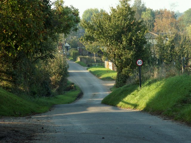
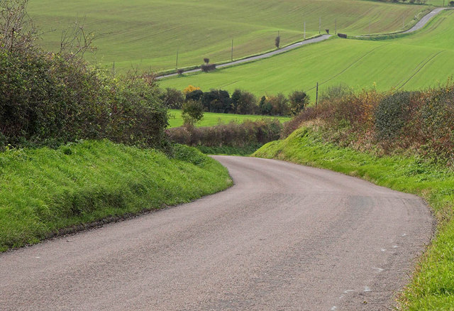
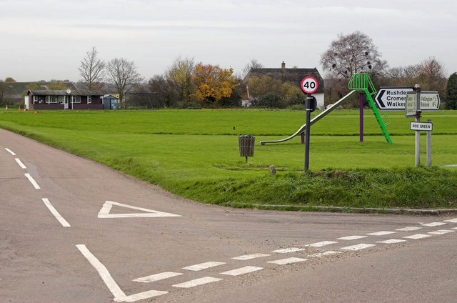
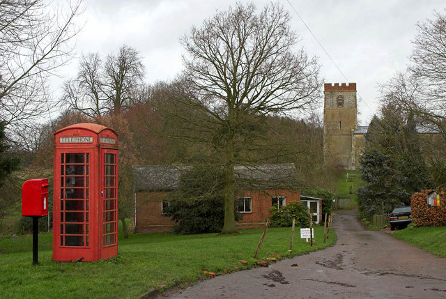
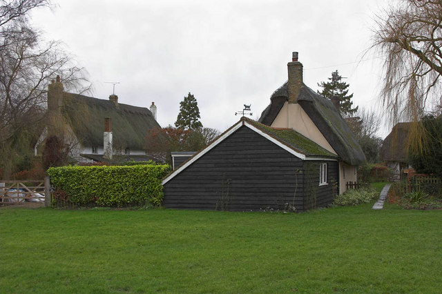
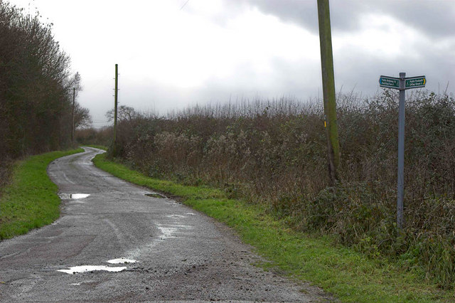
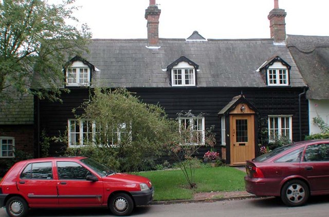
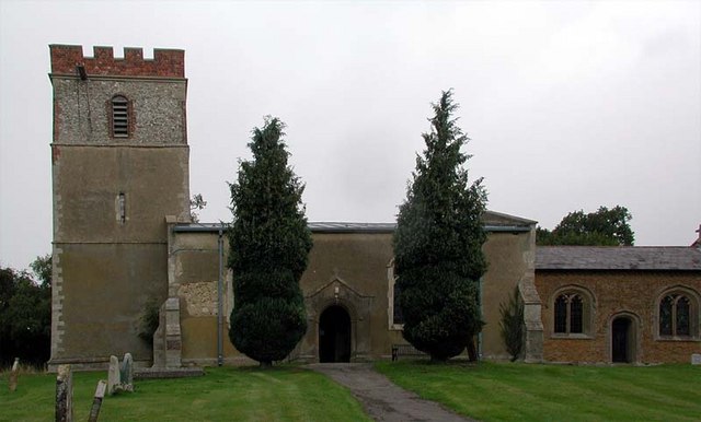
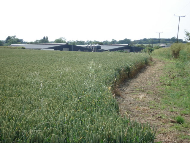
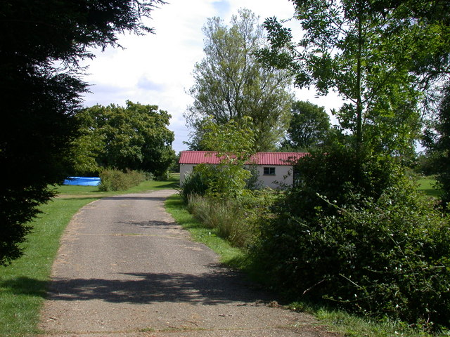
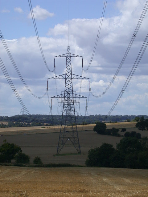
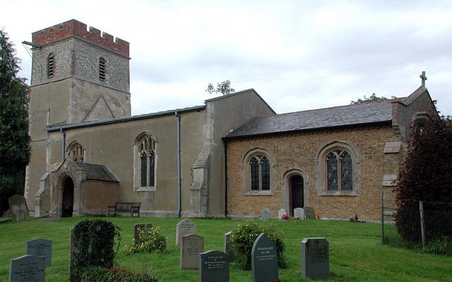
Bachelor's Wood Images
Images are sourced within 2km of 51.97308/-0.09145634 or Grid Reference TL3132. Thanks to Geograph Open Source API. All images are credited.


Bachelor's Wood is located at Grid Ref: TL3132 (Lat: 51.97308, Lng: -0.09145634)
Administrative County: Hertfordshire
District: North Hertfordshire
Police Authority: Hertfordshire
What 3 Words
///porridge.homeward.pylons. Near Buntingford, Hertfordshire
Nearby Locations
Related Wikis
Rushden, Hertfordshire
Rushden is a small village and civil parish which forms part of the grouped parish council of Rushden and Wallington in the North Hertfordshire district...
Broadfield, Hertfordshire
Broadfield is a hamlet and former civil parish, now in the parish of Cottered, in the East Hertfordshire district, in the county of Hertfordshire, England...

Blagrove Common
Blagrove Common is a 4.0-hectare (9.9-acre) Site of Special Scientific Interest in Green End near Sandon in Hertfordshire. It is managed by the Hertfordshire...
Sandon, Hertfordshire
Sandon is a village and civil parish in the North Hertfordshire district, in the county of Hertfordshire, England. Sandon is located near the towns of...

Wallington, Hertfordshire
Wallington is a small village and civil parish in the North Hertfordshire district, in the county of Hertfordshire, England, near the town of Baldock....
All Saints' Church, Sandon
All Saints' Church is a Church of England Parish Church in Sandon, Hertfordshire, England. It is listed Grade I. == History == At the time of the Domesday...

Cottered
Cottered is a village and civil parish 3 miles (4.8 km) west of Buntingford and 6 miles (9.7 km) east of Baldock in the East Hertfordshire District of...
Throcking
Throcking is a village and former civil parish, now in the parish of Cottered, in the East Hertfordshire district, in the county of Hertfordshire, England...
Nearby Amenities
Located within 500m of 51.97308,-0.09145634Have you been to Bachelor's Wood?
Leave your review of Bachelor's Wood below (or comments, questions and feedback).