Chelmsford Wood
Wood, Forest in Hertfordshire East Hertfordshire
England
Chelmsford Wood

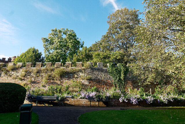
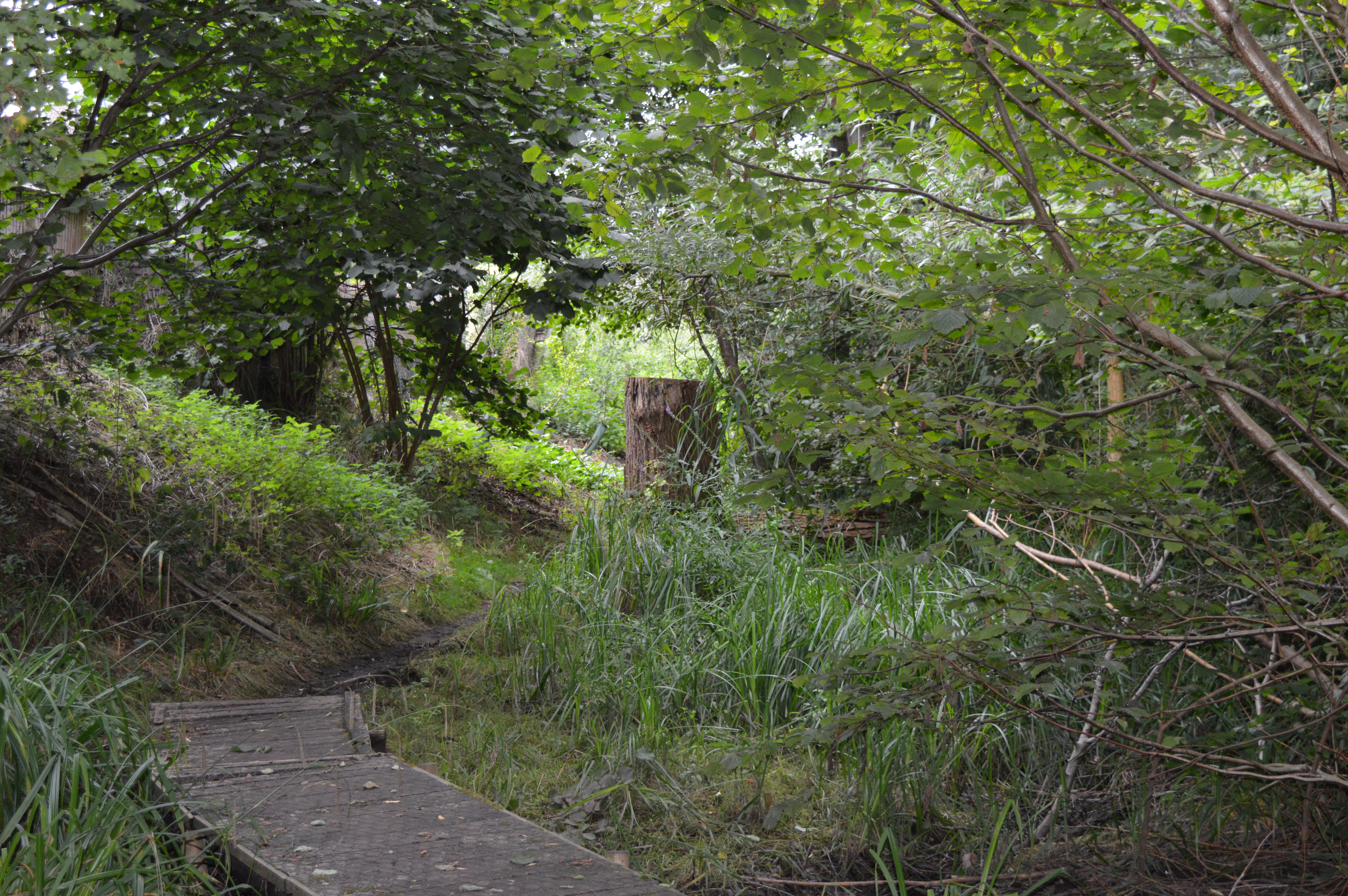
Chelmsford Wood is a serene and picturesque forest located in Hertfordshire, England. Covering an area of approximately 200 acres, it is nestled in the heart of the county and offers a peaceful escape from the hustle and bustle of city life.
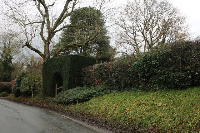
The wood is predominantly composed of native tree species such as oak, beech, and silver birch, creating a rich and diverse habitat for a wide range of flora and fauna. The dense canopy provides a cool and shaded environment, making it an ideal place for leisurely walks and nature exploration.
Visitors to Chelmsford Wood can enjoy a network of well-maintained footpaths that meander through the forest, allowing for easy access to its various attractions. The woodland floor is adorned with a carpet of wildflowers in spring, creating a vibrant and colorful display.
Wildlife enthusiasts will be delighted by the diverse range of animals that call Chelmsford Wood home. Squirrels can often be seen darting between the trees, while a variety of birds, including woodpeckers and owls, can be heard and spotted throughout the day.
Chelmsford Wood is not only a haven for wildlife but also a popular destination for outdoor activities. Its well-equipped picnic areas and designated barbecue spots make it a wonderful place to gather with family and friends for a day out. Additionally, the wood offers opportunities for camping, cycling, and horse riding, catering to a wide range of outdoor enthusiasts.
Overall, Chelmsford Wood is a charming and tranquil forest that offers a wealth of natural beauty and recreational activities for visitors to enjoy.
If you have any feedback on the listing, please let us know in the comments section below.
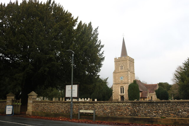
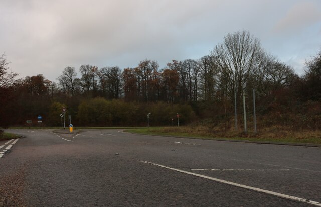
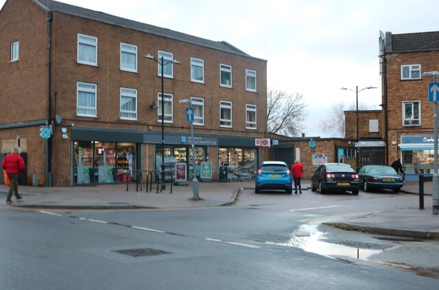
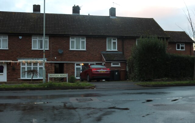
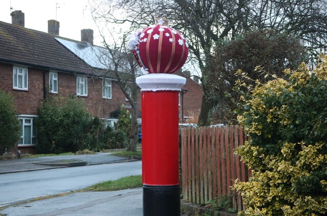
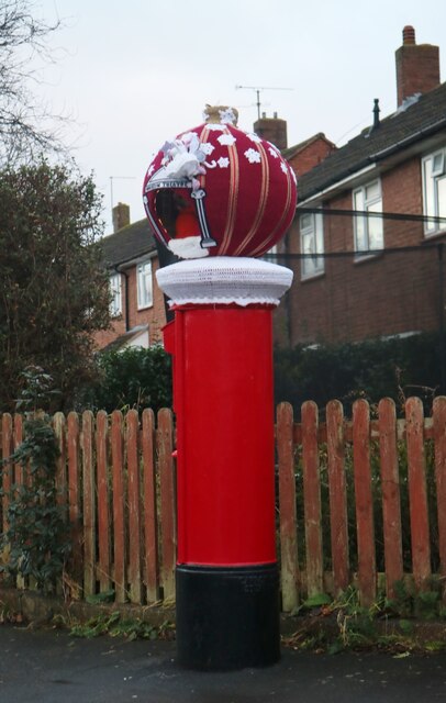
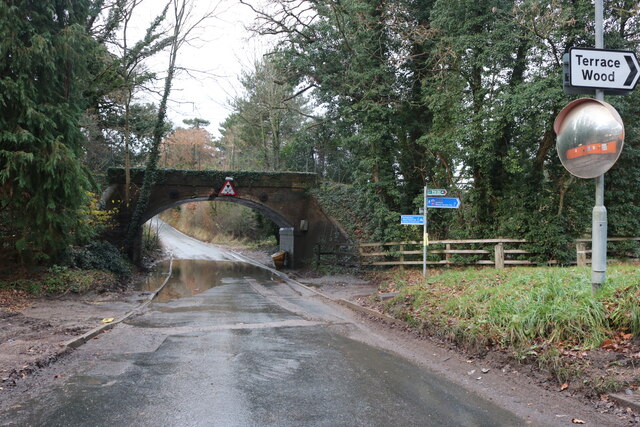
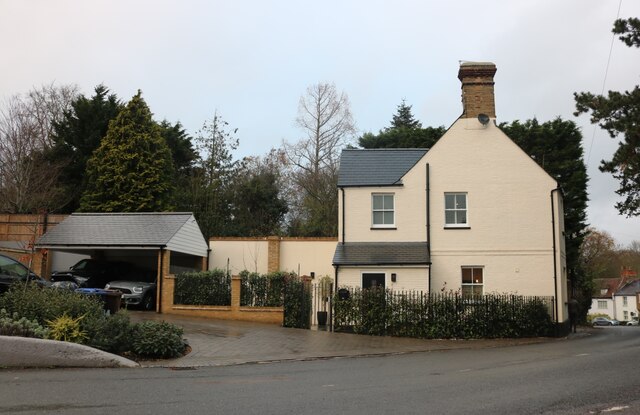
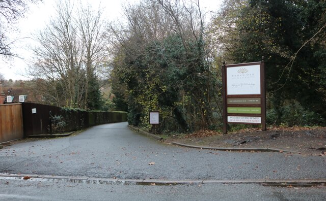
Chelmsford Wood Images
Images are sourced within 2km of 51.794894/-0.10039581 or Grid Reference TL3112. Thanks to Geograph Open Source API. All images are credited.


Chelmsford Wood is located at Grid Ref: TL3112 (Lat: 51.794894, Lng: -0.10039581)
Administrative County: Hertfordshire
District: East Hertfordshire
Police Authority: Hertfordshire
What 3 Words
///trades.moons.weedy. Near Hertford, Hertfordshire
Nearby Locations
Related Wikis
Willowmead
Willowmead is a 1.5-hectare (3.7-acre) nature reserve in north Hertford. It is managed by the Herts and Middlesex Wildlife Trust.The site is on the bank...

The Sele School
The Sele School is a coeducational secondary school and sixth form with academy status, located in Hertford, Hertfordshire, in the south east of England...

Hertingfordbury
Hertingfordbury is a small village in Hertfordshire, England, close to the county town of Hertford. It was mentioned in the Domesday Book of 1086. Hertingfordbury...
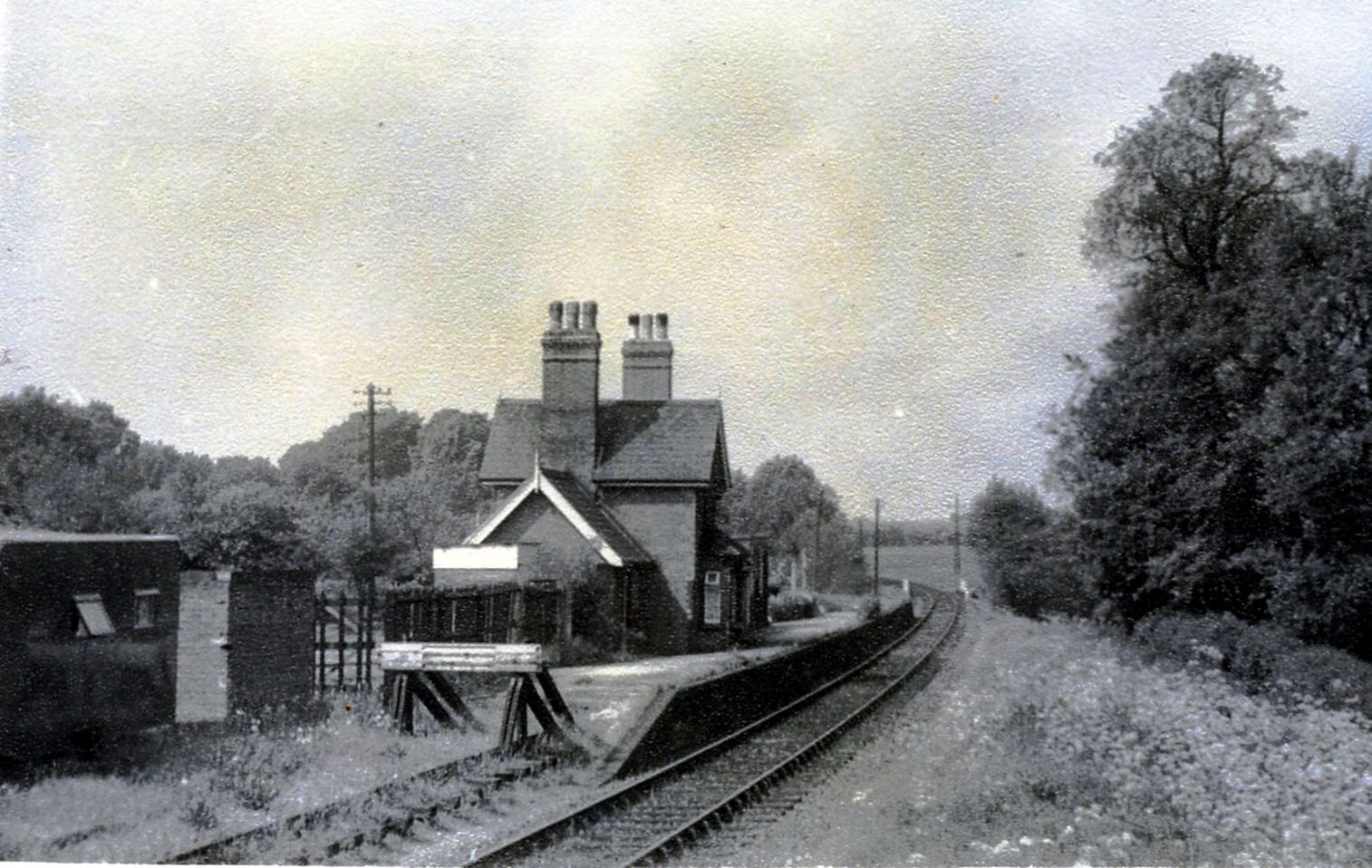
Hertingfordbury railway station
Hertingfordbury railway station was a station at Hertingfordbury, Hertfordshire, England, on the Hertford and Welwyn Junction Railway. It was a passenger...
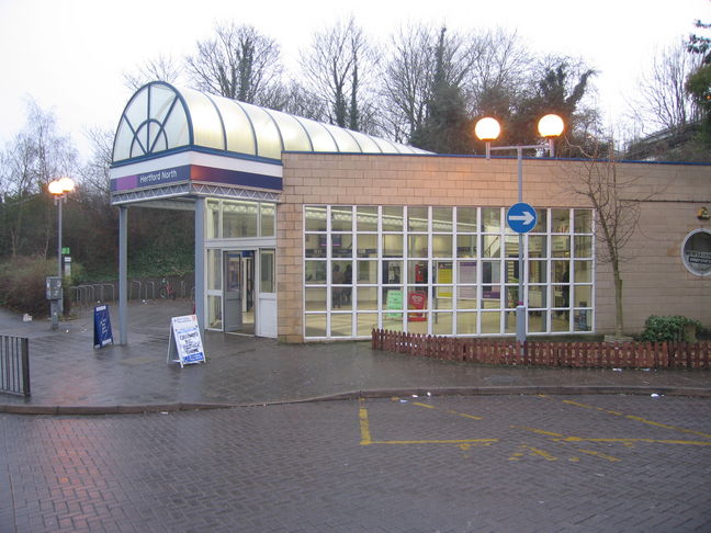
Hertford North railway station
Hertford North railway station is one of two stations serving the town of Hertford in Hertfordshire, England, the other being Hertford East railway station...
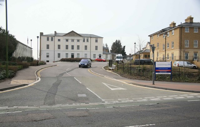
Hertford County Hospital
Hertford County Hospital is situated in the town of Hertford, county town of Hertfordshire, England. It is managed by the East and North Hertfordshire...

River Mimram
The River Mimram is a chalk stream in Hertfordshire, England. == Geography == The river valley known locally as the Mimram Valley is named after the River...
Hertford Town F.C.
Hertford Town Football Club is a football club based in Hertford, Hertfordshire, England. They are currently members of the Southern League Division One...
Nearby Amenities
Located within 500m of 51.794894,-0.10039581Have you been to Chelmsford Wood?
Leave your review of Chelmsford Wood below (or comments, questions and feedback).