Ash Plantation
Wood, Forest in Cambridgeshire South Cambridgeshire
England
Ash Plantation

Ash Plantation is a picturesque woodland located in Cambridgeshire, England. Spanning over a vast area, this plantation is known for its dense population of ash trees, which give it its name. The woodland is situated near the small village of Ashwell, making it easily accessible to both locals and visitors.
Ash Plantation boasts a diverse ecosystem, with a wide variety of flora and fauna. The towering ash trees dominate the landscape, their branches interweaving to form a dense canopy that provides shade and shelter to numerous woodland creatures. The forest floor is covered in a rich carpet of moss, ferns, and wildflowers, creating a vibrant and enchanting atmosphere.
This woodland is a haven for wildlife enthusiasts and nature lovers. It is home to a wide range of animals, including deer, foxes, rabbits, and an array of bird species. Walking through the plantation, one can often catch glimpses of these creatures as they go about their daily activities. The peaceful ambiance of the forest also attracts birdwatchers, who come to spot and observe the various feathered inhabitants.
Ash Plantation offers numerous walking trails and paths, allowing visitors to explore the beauty of the woodland at their leisure. These trails wind through the trees, offering glimpses of stunning vistas and secluded clearings. The plantation is a popular destination for hikers, joggers, and families looking for a tranquil escape from the hustle and bustle of everyday life.
Overall, Ash Plantation in Cambridgeshire is a natural gem, offering a serene environment, diverse wildlife, and captivating scenery. It is a must-visit location for anyone seeking to immerse themselves in the beauty of nature.
If you have any feedback on the listing, please let us know in the comments section below.
Ash Plantation Images
Images are sourced within 2km of 52.077224/-0.088695474 or Grid Reference TL3143. Thanks to Geograph Open Source API. All images are credited.


Ash Plantation is located at Grid Ref: TL3143 (Lat: 52.077224, Lng: -0.088695474)
Administrative County: Cambridgeshire
District: South Cambridgeshire
Police Authority: Cambridgeshire
What 3 Words
///priced.preparing.windmills. Near Bassingbourn, Cambridgeshire
Nearby Locations
Related Wikis

Abington Pigotts
Abington Pigotts is a small village in Cambridgeshire, England about 4 miles (6 km) northwest of Royston, Hertfordshire. == History == The parish of Abington...

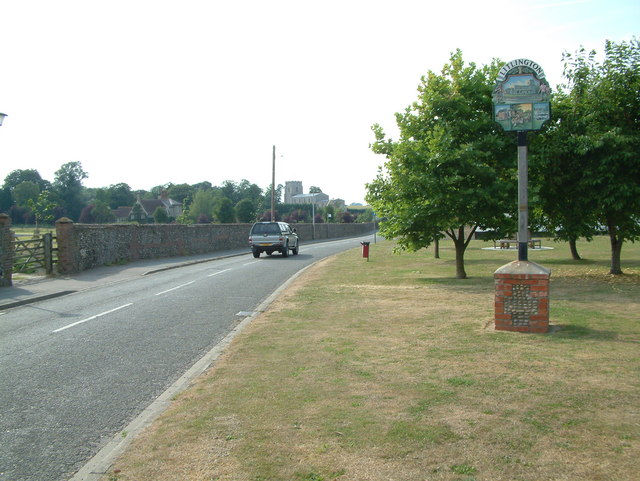
Litlington, Cambridgeshire
Litlington is a village and civil parish in the East of England region and the county of Cambridgeshire in the United Kingdom. The village lies approximately...

Bassingbourn Village College
Bassingbourn Village College is an academy school in Bassingbourn, just across the Cambridgeshire border from Royston, Hertfordshire. It currently has...
Bassingbourn cum Kneesworth
Bassingbourn cum Kneesworth is a civil parish in the South Cambridgeshire district of Cambridgeshire, England, 14 miles south-west of Cambridge and just...
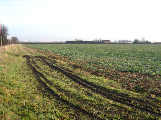
Ford Wood
Ford Wood is a woodland in Cambridgeshire, England, near Bassingbourn. It covers a total area of 2.34 hectares (5.78 acres). It is owned and managed by...

Steeple Morden
Steeple Morden is a village and civil parish in Cambridgeshire, England, about 15 miles (24 km) south west of Cambridge and 5 miles (8 km) west of Royston...
Shingay
Shingay is a hamlet and former civil parish, now in the parish of Shingay cum Wendy, in the South Cambridgeshire district, in the county of Cambridgeshire...

Guilden Morden
Guilden Morden is a village and parish located in Cambridgeshire about 16 miles (26 km) south west of Cambridge and 9 miles (14 km) west of Royston in...
Related Videos


Tower Close, Bassingbourn
Ensum Brown are delighted to offer for sale this well-presented detached home in a cul-de-sac location in Bassingbourn.

Old North Road, Bassingbourn
Ensum Brown are delighted to offer for sale this non-estate detached home in Bassingbourn. This property enjoys over 2000sq ft ...

How soon before the wedding should we organise fittings for my groomsmen?
AskChimney Chimney Menswear explains when is the ideal time to arrange fittings for the groomsmen. Advice on when not to ...
Nearby Amenities
Located within 500m of 52.077224,-0.088695474Have you been to Ash Plantation?
Leave your review of Ash Plantation below (or comments, questions and feedback).