Bardolphspark Wood
Wood, Forest in Hertfordshire East Hertfordshire
England
Bardolphspark Wood
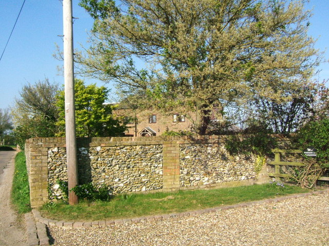
Bardolphspark Wood is a picturesque forest located in Hertfordshire, England. Covering an area of approximately 50 acres, it is a popular destination for nature enthusiasts and visitors seeking tranquility amidst the hustle and bustle of the surrounding urban areas.
The wood is predominantly composed of native broadleaf trees, including oak, ash, and beech, which create a dense canopy overhead, providing shade and shelter for a variety of wildlife. The forest floor is carpeted with an array of wildflowers, ferns, and mosses, lending an enchanting ambiance to the woodland.
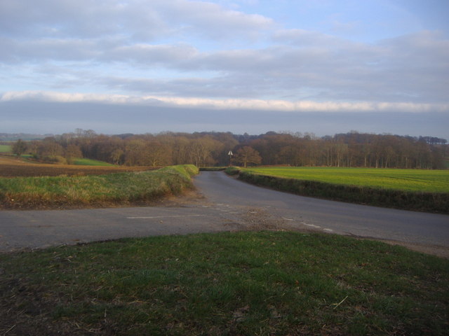
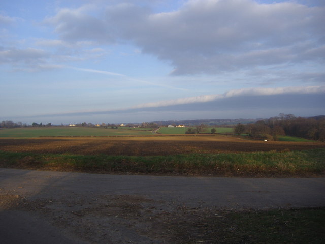
Traversing the wood is a network of well-maintained footpaths and trails, allowing visitors to explore the area at their own pace. These paths meander through the trees, leading to hidden clearings and viewpoints that offer stunning vistas of the surrounding countryside.
Bardolphspark Wood is also home to an abundance of wildlife. Birdwatchers can spot various species, including woodpeckers, nuthatches, and tawny owls, while small mammals such as foxes, squirrels, and badgers can often be glimpsed darting through the undergrowth. The wood is also known for its diverse insect population, with butterflies and dragonflies flitting about during the warmer months.
The forest is managed by the local conservation trust, ensuring its preservation for future generations. The trust organizes educational activities and guided walks to raise awareness about the importance of woodland ecosystems and the need for conservation efforts.
Overall, Bardolphspark Wood is a haven of natural beauty, providing a serene escape from the hustle and bustle of everyday life. Its diverse flora and fauna, coupled with its well-maintained trails, make it a perfect destination for nature lovers and those seeking a peaceful retreat.
If you have any feedback on the listing, please let us know in the comments section below.
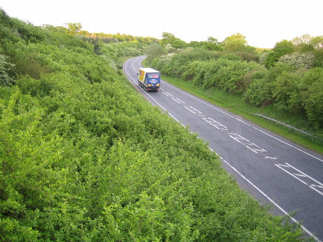
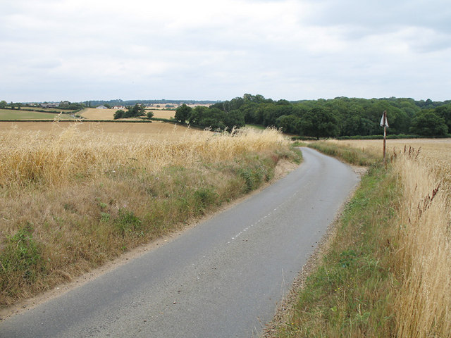
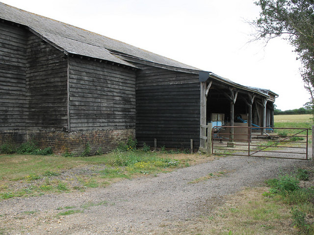
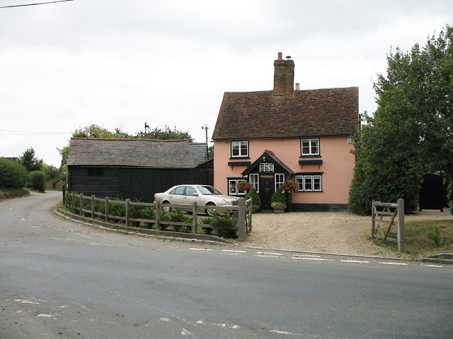
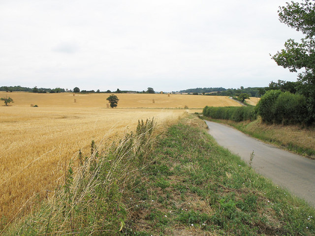
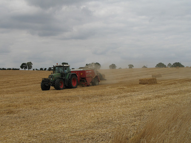
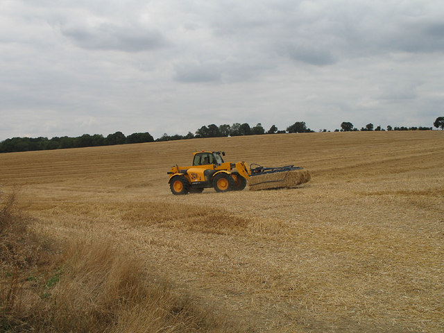
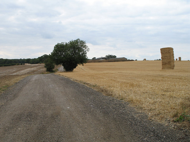
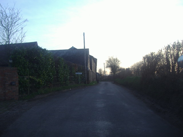
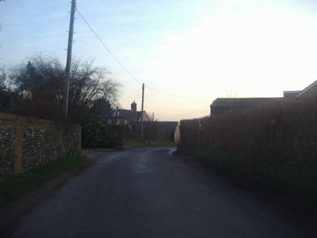
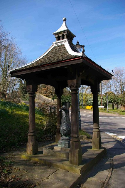
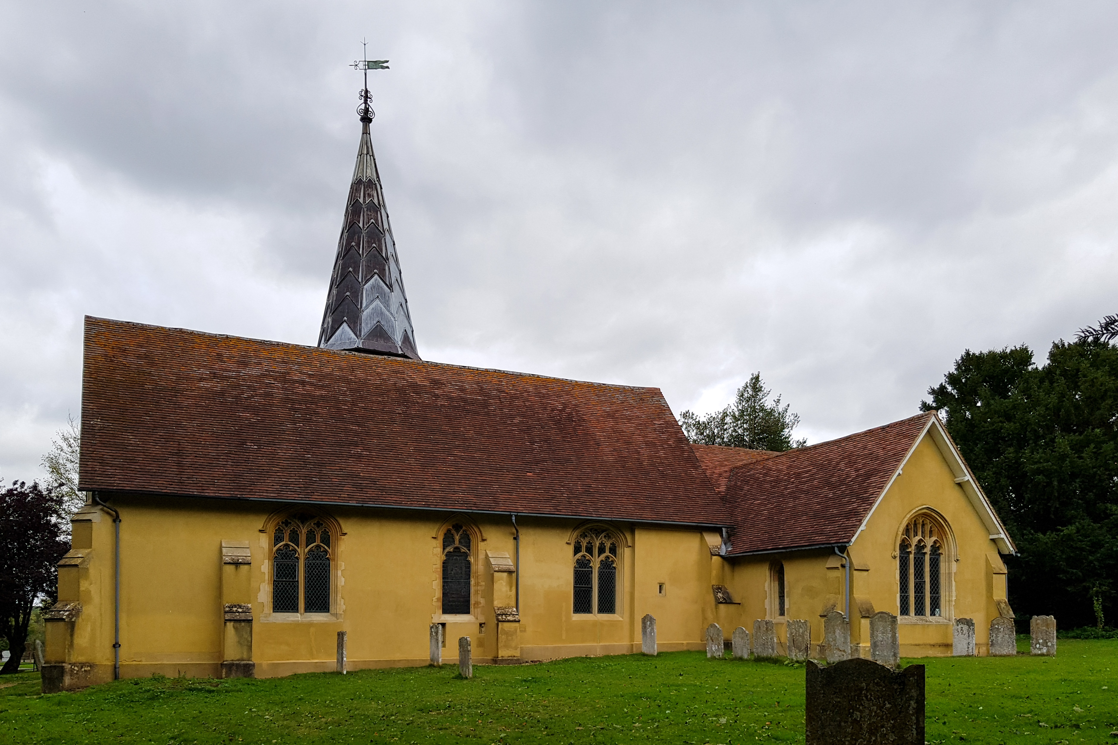
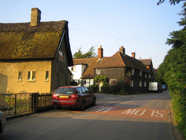
Bardolphspark Wood Images
Images are sourced within 2km of 51.860058/-0.098058737 or Grid Reference TL3119. Thanks to Geograph Open Source API. All images are credited.
Bardolphspark Wood is located at Grid Ref: TL3119 (Lat: 51.860058, Lng: -0.098058737)
Administrative County: Hertfordshire
District: East Hertfordshire
Police Authority: Hertfordshire
What 3 Words
///played.movies.tricks. Near Watton at Stone, Hertfordshire
Nearby Locations
Related Wikis

Heath Mount School
Heath Mount School is a Church of England co-educational independent prep school near Watton-at-Stone, Hertfordshire, England. It admits pupils aged 3...
Woodhall Park
Woodhall Park is a Grade I listed country house near Watton-at-Stone, Hertfordshire, England. The 18th century neo-classical building is set in a walled...
Watton-at-Stone
Watton-at-Stone is a village and civil parish in Hertfordshire, England, and is midway between the towns of Stevenage and Hertford in the valley of the...

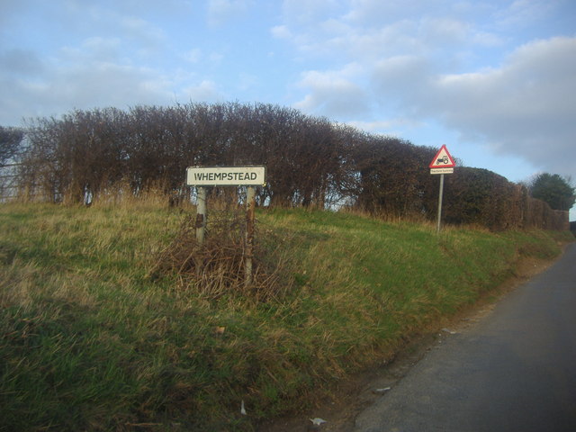
Whempstead
Whempstead is a hamlet in the parish of Watton-at-Stone, situated north of Hertford and to the south-east of Stevenage in Hertfordshire, it is close to...
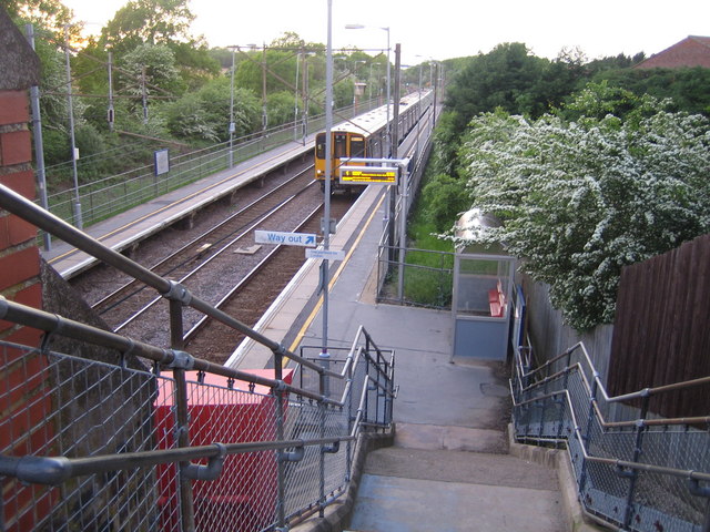
Watton-at-Stone railway station
Watton-at-Stone railway station serves the village of Watton-at-Stone in Hertfordshire, England. It is 23 miles 72 chains (23.90 miles, 38.46 km) down...

Sacombe
Sacombe is a village and civil parish in the East Hertfordshire district, of Hertfordshire, England. At the 2001 census it had a population of 165. Sacombe...
Stapleford, Hertfordshire
Not to be confused with Stapleford, Nottinghamshire. Stapleford is a village and civil parish of 134 acres (54 ha) on the A119 road, in the East Hertfordshire...
Dane End
Dane End is a hamlet to the north of Ware in Hertfordshire, England situated between the A602 and A10. It is within Little Munden civil parish and East...
Related Videos
Walk 220: Stapleford North Loop
For this walk we explored the countryside between a couple of existing routes in our collection in order to create a new loop.


Porsche 911 997 Gen 2 Customisation & Mods vs Factory OEM Options - 19 Diary of a Porsche Specialist
I recently sold a tastefully modified 2009 Porsche 911 Carrera S 997 Gen 2, in this video I explain what subtle (and reversible) ...
The Great Britain XIV | Day One - 6233 'Duchess of Sutherland' on the ECML - Friday 22nd April 2022
TheGreatBritainXIV #DuchessofSutherland #Watton-at-Stone After missing the last two years due to Covid Friday 22nd April ...
Nearby Amenities
Located within 500m of 51.860058,-0.098058737Have you been to Bardolphspark Wood?
Leave your review of Bardolphspark Wood below (or comments, questions and feedback).