Brickclamps Wood

Wood, Forest in Hertfordshire East Hertfordshire

England

Brickclamps Wood

Straw Baling near Watton-at-Stone Fendt tractor with Welger baling machine bales the straw left after harvesting for winter feed.
Straw Baling near Watton-at-Stone Credit: Martin Addison

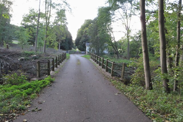
Brickclamps Wood is a charming forest located in the county of Hertfordshire, England. Situated on the outskirts of the village of Brickclamps, this wood offers a tranquil and picturesque escape for nature lovers and outdoor enthusiasts alike.

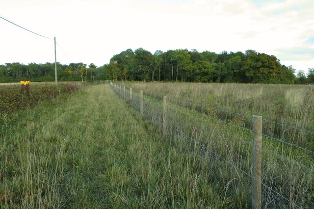
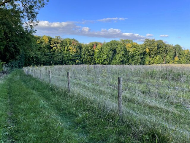
Covering an area of approximately 50 acres, Brickclamps Wood is predominantly composed of dense woodland, consisting of a variety of tree species such as oak, beech, and ash. The forest floor is carpeted with a rich layer of leaf litter, adding to the enchanting atmosphere of the wood.

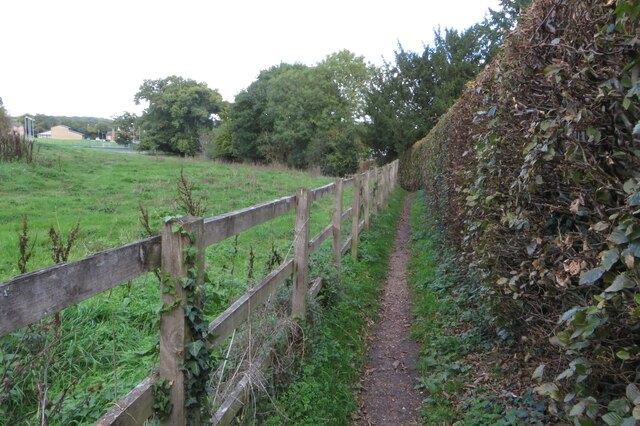
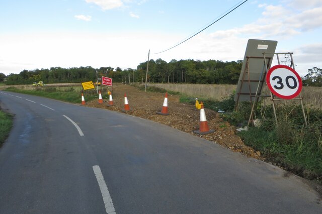
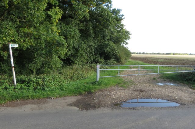
Visitors to Brickclamps Wood can explore a network of well-maintained footpaths and trails that wind through the forest, providing opportunities for leisurely walks, jogging, or cycling. The paths are suitable for all levels of fitness and are easily accessible for wheelchair users and families with prams.

Wildlife enthusiasts will be delighted by the diverse array of fauna that call Brickclamps Wood their home. The forest provides a habitat for a range of bird species, including woodpeckers, thrushes, and owls. Squirrels, rabbits, and foxes can also be spotted throughout the wood, adding to the natural splendor of the surroundings.

Picnic areas and benches are strategically placed throughout the forest, allowing visitors to take a break and enjoy the peaceful ambiance. Additionally, there are designated areas for barbecues, making Brickclamps Wood an ideal location for family gatherings and social events.

Overall, Brickclamps Wood offers a serene retreat from the hustle and bustle of everyday life, providing an opportunity to immerse oneself in the beauty of nature and enjoy the tranquility of this idyllic woodland setting.

If you have any feedback on the listing, please let us know in the comments section below.

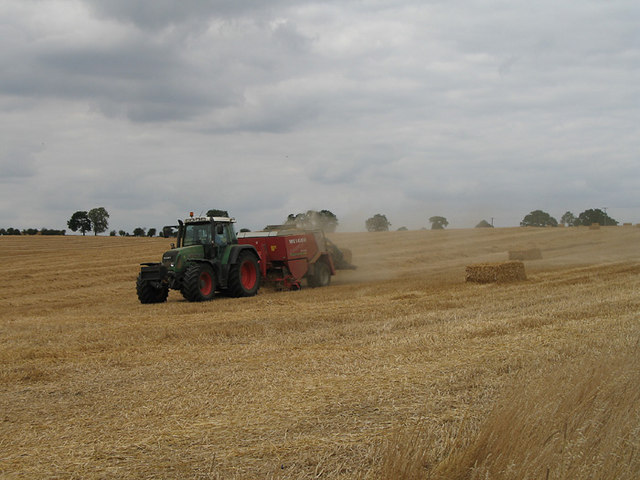
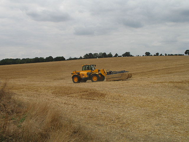
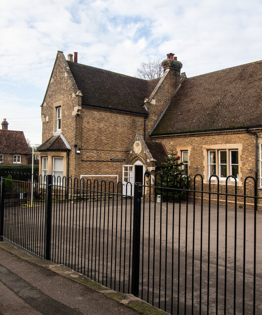
Brickclamps Wood Images

Images are sourced within 2km of 51.846107/-0.098893709 or Grid Reference TL3118. Thanks to Geograph Open Source API. All images are credited.

Straw Baling near Watton-at-Stone Fendt tractor with Welger baling machine bales the straw left after harvesting for winter feed.
Straw Baling near Watton-at-Stone
Fendt tractor with Welger baling machine bales the straw left after harvesting for winter feed.
Collecting the Bales JCB Loader collecting bales near Watton-at-Stone.  I wondered how they were stacking them so high - a sort of super pitchfork!
Collecting the Bales
JCB Loader collecting bales near Watton-at-Stone. I wondered how they were stacking them so high - a sort of super pitchfork!
Stapleford : St Mary the Virgin View from the village playing field. Stapleford Church is Grade II* listed building, described at this <span class="nowrap"><a title="https://historicengland.org.uk/listing/the-list/list-entry/1089119?section=official-listing" rel="nofollow ugc noopener" href="https://historicengland.org.uk/listing/the-list/list-entry/1089119?section=official-listing">Link</a><img style="margin-left:2px;" alt="External link" title="External link - shift click to open in new window" src="https://s1.geograph.org.uk/img/external.png" width="10" height="10"/></span>.
Stapleford : St Mary the Virgin
View from the village playing field. Stapleford Church is Grade II* listed building, described at this LinkExternal link.
Stapleford Primary School Former National school built in 1872.
Stapleford Primary School
Former National school built in 1872.
Stapleford : tower, St Mary the Virgin Stapleford Church is Grade II* listed building, described at this <span class="nowrap"><a title="https://historicengland.org.uk/listing/the-list/list-entry/1089119?section=official-listing" rel="nofollow ugc noopener" href="https://historicengland.org.uk/listing/the-list/list-entry/1089119?section=official-listing">Link</a><img style="margin-left:2px;" alt="External link" title="External link - shift click to open in new window" src="https://s1.geograph.org.uk/img/external.png" width="10" height="10"/></span>.
Stapleford : tower, St Mary the Virgin
Stapleford Church is Grade II* listed building, described at this LinkExternal link.
Jubilee Community Wood 25,000 trees  over 60 acres planted in 2012 by the Woodhall Estate, the sign tells us.
Jubilee Community Wood
25,000 trees over 60 acres planted in 2012 by the Woodhall Estate, the sign tells us.
Chain Walk on Mill Lane
Track to Bardolphspark Wood
St Andrew & St Mary's church
Footpath from the churchyard to Watton House
Playing field and tennis courts at Watton at Stone
Chain Walk going into town
Minor road from the A602- now removed
Footpath by Roads Woods towards Tonwell
Chain Walk going to Sacombe Park
Chain Walk heading north
Bridge over an empty stream
Avenue into Woodhall Park by Ware Lodge
Show me another place!

Brickclamps Wood is located at Grid Ref: TL3118 (Lat: 51.846107, Lng: -0.098893709)

Administrative County: Hertfordshire

District: East Hertfordshire

Police Authority: Hertfordshire

What 3 Words

///economies.caller.oddly. Near Watton at Stone, Hertfordshire

Related Wikis

Woodhall Park

Woodhall Park is a Grade I listed country house near Watton-at-Stone, Hertfordshire, England. The 18th century neo-classical building is set in a walled...

Heath Mount School

Heath Mount School is a Church of England co-educational independent prep school near Watton-at-Stone, Hertfordshire, England. It admits pupils aged 3...

Stapleford, Hertfordshire

Not to be confused with Stapleford, Nottinghamshire. Stapleford is a village and civil parish of 134 acres (54 ha) on the A119 road, in the East Hertfordshire...

Stapleford railway station

Stapleford railway station was a station on the Hertford Loop Line, and was situated in the village of Stapleford, Hertfordshire, England. == History... ==

Watton-at-Stone

Watton-at-Stone is a village and civil parish in Hertfordshire, England, and is midway between the towns of Stevenage and Hertford in the valley of the...

Watton-at-Stone railway station

Watton-at-Stone railway station serves the village of Watton-at-Stone in Hertfordshire, England. It is 23 miles 72 chains (23.90 miles, 38.46 km) down...

Bengeo Rural

Bengeo Rural is a civil parish in the East Hertfordshire district of Hertfordshire, England. According to the 2001 census it had a population of 601,...

Sacombe

Sacombe is a village and civil parish in the East Hertfordshire district, of Hertfordshire, England. At the 2001 census it had a population of 165. Sacombe...

Nearby Amenities

Located within 500m of 51.846107,-0.098893709
Post Box
Woodhall Park
Collection Times: Mo-Fr 17:00; Sa 08:45
Post Box Type: wall
Ref: SG14 59
Royal Cypher: GVIR
Royal Cypher Wikidata: Q33102169
Lat/Long: 51.8474311/-0.098382
Brickclamps Wood
Naptan AtcoCode: 210021300100
Naptan Bearing: SE
Naptan BusStopType: CUS
Naptan CommonName: Brickclamps Wood
Naptan Crossing: Hertford Lodge East
Naptan Indicator: opp
Naptan Landmark: Hertford Lodge East
Naptan NaptanCode: hrtdwdwm
Naptan ShortCommonName: NA
Naptan Street: A119
Naptan Verified: no
Source: naptan_import
Lat/Long: 51.8473828/-0.0984122
Brickclamps Wood
Local Ref: NR
Naptan AtcoCode: 210021312960
Naptan Bearing: NW
Naptan BusStopType: CUS
Naptan CommonName: Brickclamps Wood
Naptan Crossing: Hertford Lodge West
Naptan Indicator: nr
Naptan Landmark: Hertford Lodge West
Naptan NaptanCode: hrtdmtmw
Naptan ShortCommonName: NA
Naptan Street: A119
Naptan Verified: no
Source: naptan_import
Lat/Long: 51.8473402/-0.0985592
Power: pole
Lat/Long: 51.8469817/-0.0965542
Power: pole
Lat/Long: 51.8467994/-0.0951004
Power: pole
Lat/Long: 51.8466255/-0.0936118
Horseshoe Weir
Waterway: weir
Lat/Long: 51.8440215/-0.0926454
The data included in this document is from www.openstreetmap.org. The data is made available under ODbL.

Have you been to Brickclamps Wood?

Leave your review of Brickclamps Wood below (or comments, questions and feedback).