Bleakfield Shaw
Wood, Forest in Surrey
England
Bleakfield Shaw

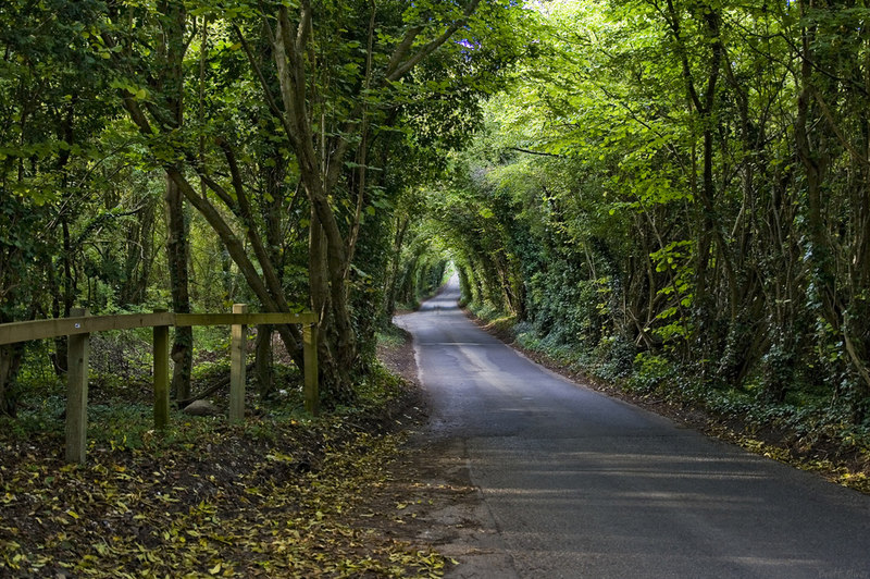
Bleakfield Shaw is an enchanting woodland area located in Surrey, England. Nestled in the heart of the county, it is known for its captivating beauty and serene atmosphere. The Shaw is situated in the larger Bleakfield Forest, which spans over 100 acres of lush greenery and diverse wildlife.
The Shaw is characterized by its dense tree cover, primarily consisting of oak, beech, and birch trees. These towering giants create a canopy that provides shelter and shade to a wide variety of flora and fauna. The forest floor is adorned with a carpet of vibrant wildflowers, creating a picturesque scene that changes with the seasons.
This woodland paradise offers numerous opportunities for outdoor enthusiasts and nature lovers. There are several well-maintained trails that wind their way through the Shaw, allowing visitors to explore its hidden treasures. The trails are suitable for all ages and skill levels, making it a popular destination for families and avid hikers alike.
Wildlife enthusiasts will be delighted by the diverse range of animals that call Bleakfield Shaw home. Squirrels, rabbits, and deer are frequently spotted amongst the trees, while a plethora of bird species can be observed soaring through the skies. Lucky visitors may even catch a glimpse of the elusive red fox or the majestic owl that inhabit the area.
Bleakfield Shaw is truly a sanctuary for those seeking solace in nature. Its tranquil ambiance and breathtaking scenery make it an ideal destination for a peaceful retreat or a leisurely afternoon stroll. A visit to this enchanting woodland is sure to leave a lasting impression on all who venture within its borders.
If you have any feedback on the listing, please let us know in the comments section below.
Bleakfield Shaw Images
Images are sourced within 2km of 51.314506/-0.12610269 or Grid Reference TQ3058. Thanks to Geograph Open Source API. All images are credited.


Bleakfield Shaw is located at Grid Ref: TQ3058 (Lat: 51.314506, Lng: -0.12610269)
Unitary Authority: Croydon
Police Authority: Metropolitan
What 3 Words
///glory.plus.pinch. Near Coulsdon, London
Nearby Locations
Related Wikis
Coulsdon and Purley Urban District
Coulsdon and Purley Urban District was a local government district in northeast Surrey from 1915 to 1965. The local authority was Coulsdon and Purley Urban...
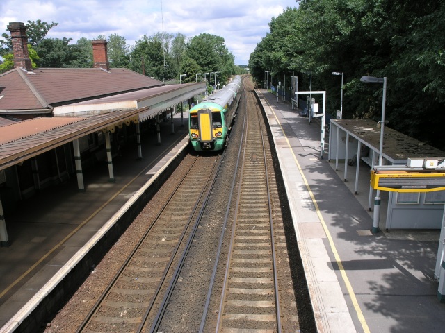
Coulsdon South railway station
Coulsdon South railway station serves Coulsdon in the London Borough of Croydon, and is in Travelcard Zone 6, on the Brighton Main Line. It is 17 miles...
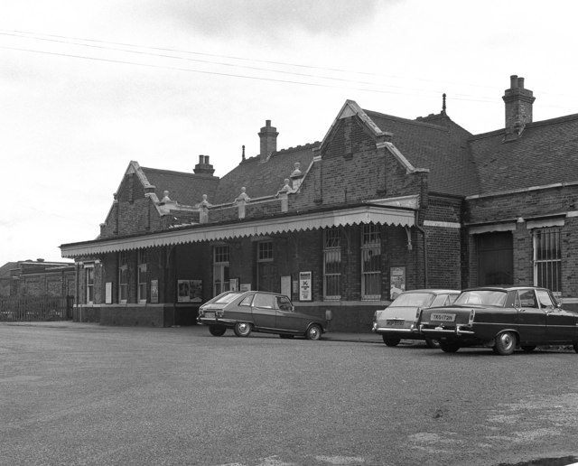
Coulsdon North railway station
Coulsdon North is a closed railway station that served Coulsdon, Croydon, England, on the Brighton Main Line. == Stoat's Nest == The first station in Coulsdon...
Dollypers Hill
Dollypers Hill is a 12-hectare (30-acre) nature reserve south east of Coulsdon in the London Borough of Croydon. It is managed by the Surrey Wildlife...

Coulsdon East (ward)
Coulsdon East was a ward in the London Borough of Croydon, covering part of the Coulsdon area of London in the United Kingdom. The ward formed part of...

Old Coulsdon (ward)
Old Coulsdon is a ward in the London Borough of Croydon, covering part of the Coulsdon area of London in the United Kingdom. The ward currently forms part...

Coulsdon Town railway station
Coulsdon Town railway station serves the northern part of Coulsdon, in the London Borough of Croydon. It is on the Tattenham Corner line 16 miles 46 chains...

Purley High School for Boys
Purley High School for Boys existed from 1914 to 1988. Originally located in Purley from 1914, in 1936 it relocated to Placehouse Lane, Old Coulsdon, London...
Nearby Amenities
Located within 500m of 51.314506,-0.12610269Have you been to Bleakfield Shaw?
Leave your review of Bleakfield Shaw below (or comments, questions and feedback).