Bayford Wood
Wood, Forest in Hertfordshire East Hertfordshire
England
Bayford Wood
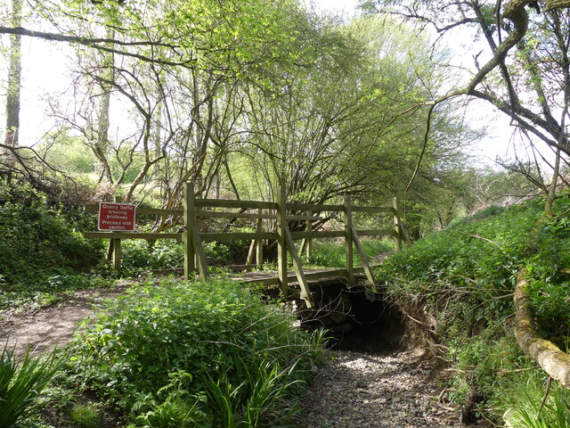
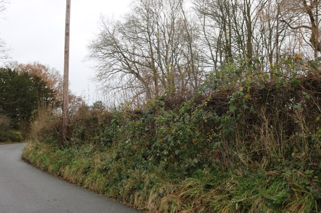
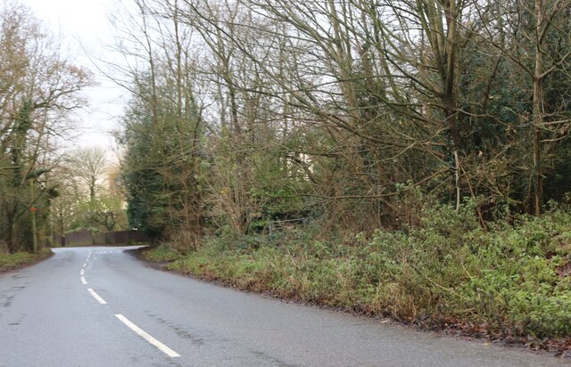
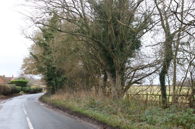
Bayford Wood is a beautiful ancient woodland located in Hertfordshire, England. It covers an area of approximately 40 hectares and is situated near the village of Bayford. The wood is predominantly made up of broadleaf trees, including oak, ash, beech, and birch, creating a diverse and rich habitat.
The woodland is renowned for its biodiversity, hosting a wide range of plant and animal species. Bluebells carpet the forest floor during spring, creating a stunning display of color. The wood is also home to various bird species, including woodpeckers, tawny owls, and nuthatches, making it a popular spot for birdwatching enthusiasts.
Bayford Wood has a long history, with evidence of human activity dating back to the Bronze Age. The wood has been managed for centuries, and remnants of old coppice trees can still be seen today. The management practices have helped to maintain the diversity of the woodland, providing habitats for a wide range of flora and fauna.
The wood is open to the public and offers a network of well-maintained footpaths, allowing visitors to explore its natural beauty. The tranquil atmosphere and scenic surroundings make it a popular destination for walkers, nature lovers, and photographers. It also provides an excellent opportunity for educational visits, allowing students to learn about the importance of woodland ecosystems and conservation.
Overall, Bayford Wood is a valuable natural resource in Hertfordshire, offering a glimpse into the region's ecological heritage and providing a peaceful retreat for locals and visitors alike.
If you have any feedback on the listing, please let us know in the comments section below.
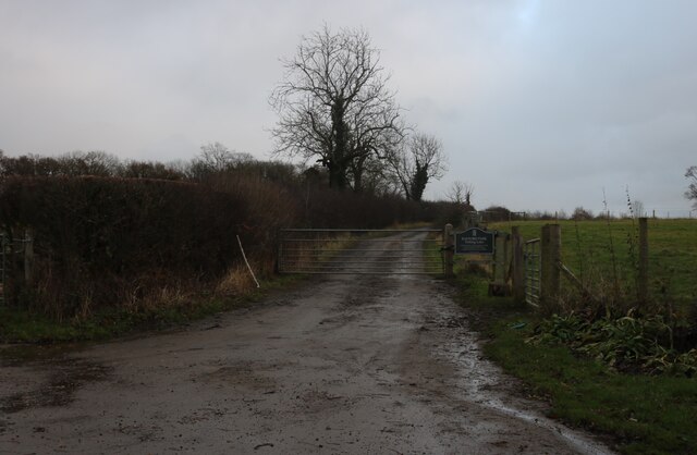
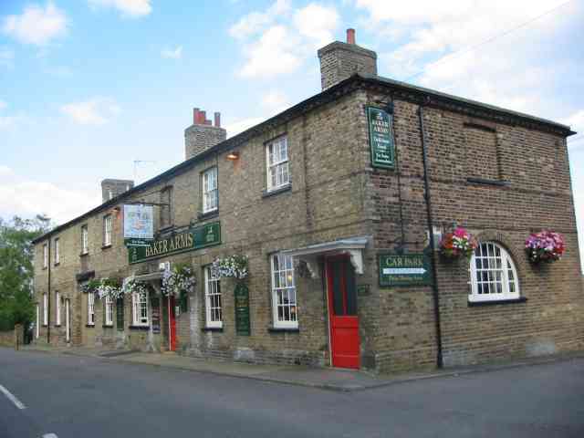
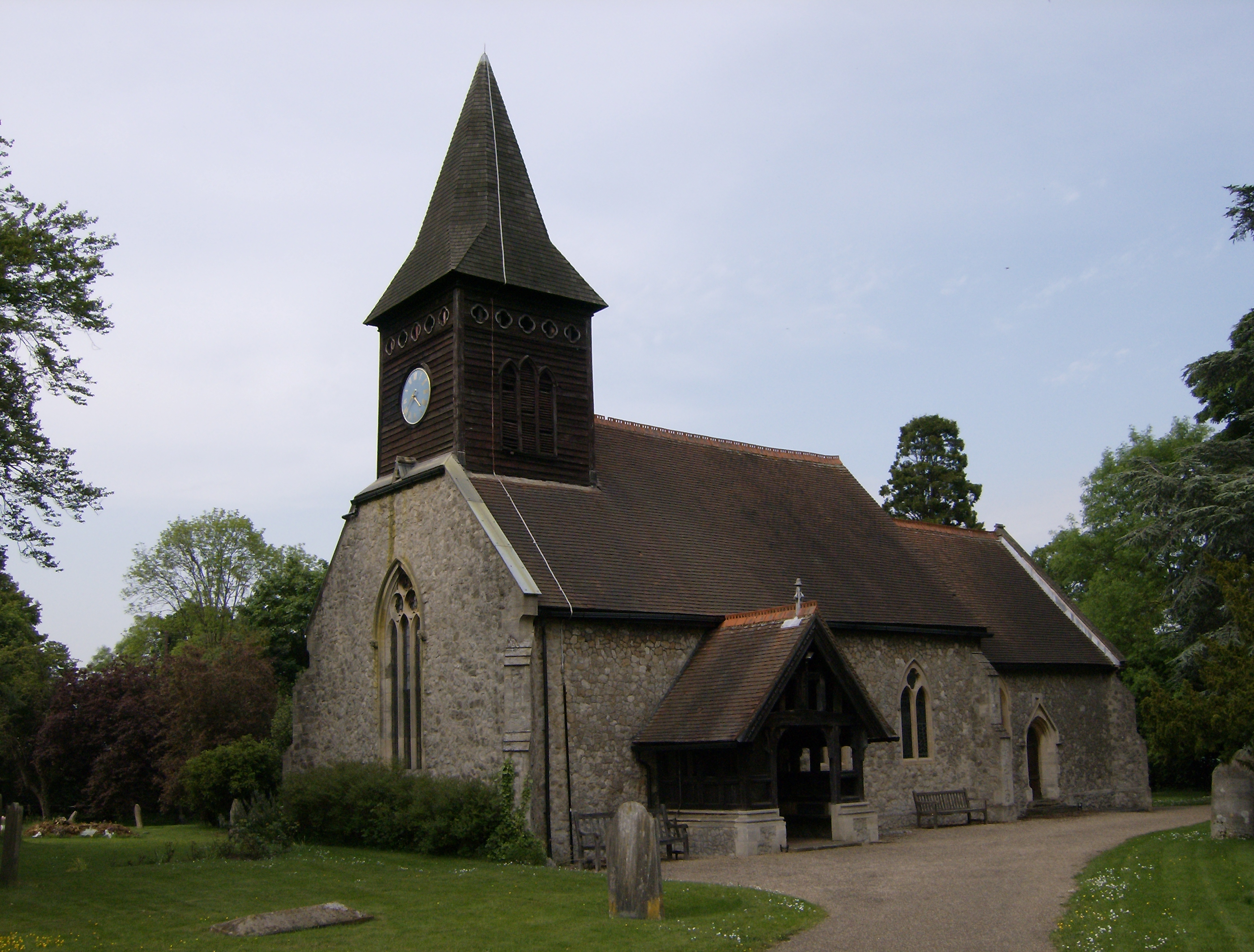
Bayford Wood Images
Images are sourced within 2km of 51.75648/-0.11441132 or Grid Reference TL3008. Thanks to Geograph Open Source API. All images are credited.


Bayford Wood is located at Grid Ref: TL3008 (Lat: 51.75648, Lng: -0.11441132)
Administrative County: Hertfordshire
District: East Hertfordshire
Police Authority: Hertfordshire
What 3 Words
///cost.opens.plug. Near Hertford, Hertfordshire
Nearby Locations
Related Wikis

Bayford, Hertfordshire
Bayford is a village and civil parish in the East Hertfordshire district of Hertfordshire, England. According to the 2001 census it had a population of...
Little Berkhamsted
Little Berkhamsted is a village and civil parish in Hertfordshire, England, five miles south-west of the town of Hertford. The village is in a hilly location...
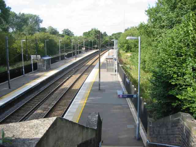
Bayford railway station
Bayford railway station serves the villages of Bayford and Brickendon in Hertfordshire, England. The station is on the Hertford Loop Line, 16 miles 56...
Brickendon
Brickendon is a village in the civil parish of Brickendon Liberty in the district of East Hertfordshire about 3 miles (4.8 km) south of the county town...

Wormley-Hoddesdonpark Wood North
Wormley-Hoddesdonpark Wood North is a 143.9-hectare (356-acre) woodland area in Hertfordshire which has been designated as a biological site of Special...
Broxbourne Woods
Broxbourne Woods are a 239.1 hectare National Nature Reserve west of Broxbourne in Hertfordshire. The site is Hertfordshire's only National Nature Reserve...

Bayfordbury Observatory
Bayfordbury Observatory is the University of Hertfordshire's astronomical and atmospheric physics remote sensing observatory, and one of the largest teaching...
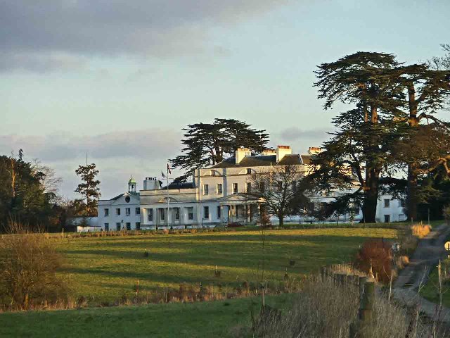
Bayfordbury
Bayfordbury, Hertfordshire, is a large Grade II* listed country house with surrounding parkland, and the location of a University of Hertfordshire campus...
Nearby Amenities
Located within 500m of 51.75648,-0.11441132Have you been to Bayford Wood?
Leave your review of Bayford Wood below (or comments, questions and feedback).