Epsom

Settlement in Surrey Epsom and Ewell

England

Epsom

Bramley Way junction with Stonny Croft
Bramley Way junction with Stonny Croft Credit: James Emmans

Epsom is a historic town situated in the county of Surrey, England. Located approximately 13 miles southwest of central London, it lies within the Greater London Urban Area. The town is renowned for its natural beauty, with its picturesque rolling hills and open spaces. Epsom is perhaps most famous for its association with the Epsom Downs Racecourse, one of the most prestigious horse racing venues in the United Kingdom. The annual Epsom Derby, one of the most celebrated horse racing events worldwide, takes place on this historic course.

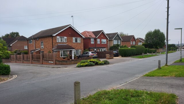
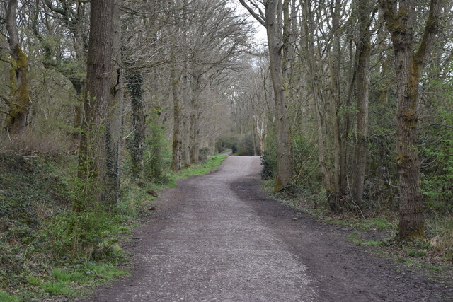
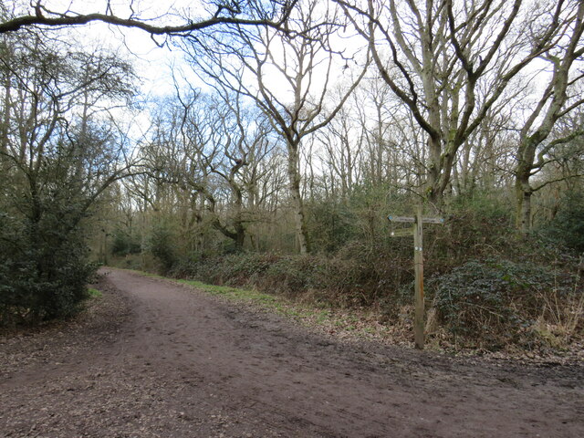
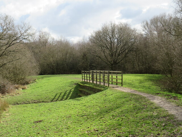
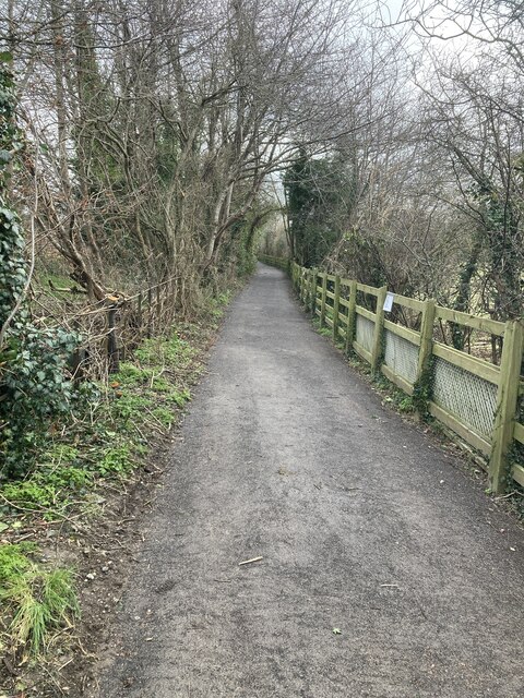
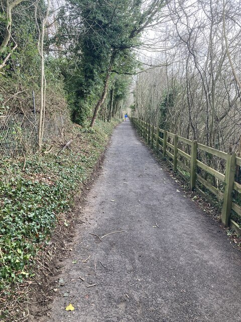
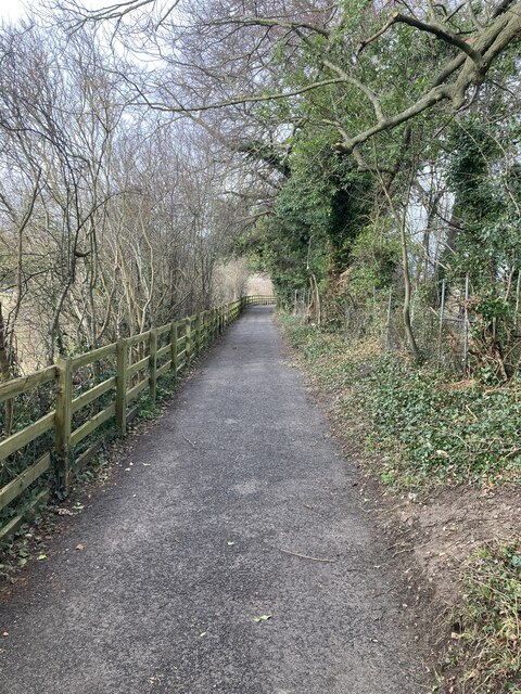
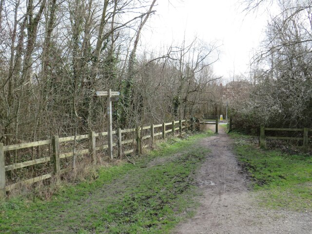
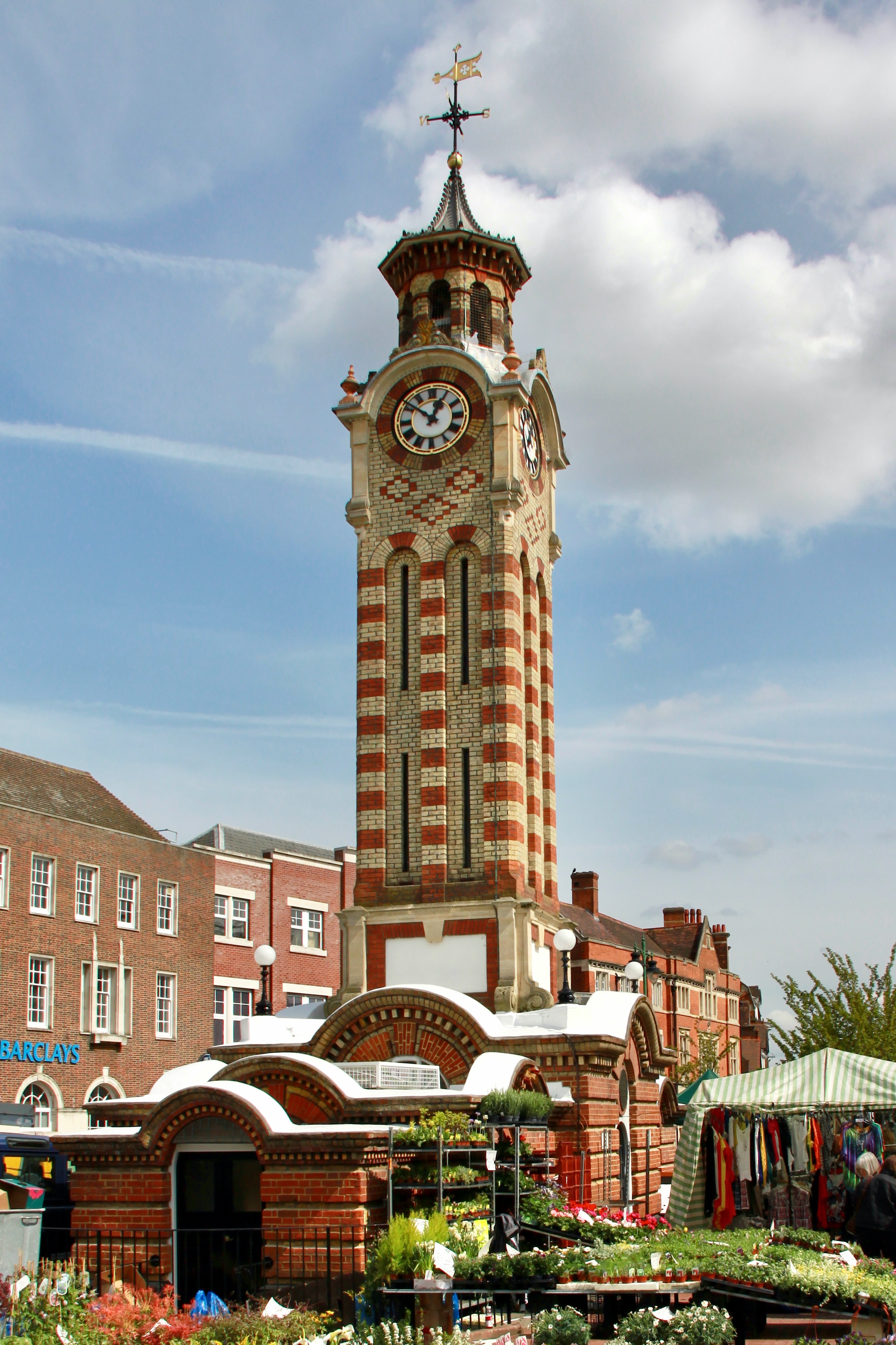
Aside from its equestrian connections, Epsom offers a charming town center with a mix of modern amenities and traditional architecture. The High Street is the heart of the town, lined with an array of shops, cafes, and restaurants. Shoppers can explore a variety of independent boutiques, as well as larger chain stores. Epsom also boasts a selection of parks and green spaces, including Epsom Common, where visitors can enjoy peaceful walks and nature trails.

Transport links in Epsom are excellent, with regular train services connecting the town to London Waterloo and Victoria stations, ensuring an easy commute for residents. The M25 motorway is also conveniently close by, providing access to other parts of the country.

Epsom is home to a diverse community, with a mix of families, professionals, and retirees. The town offers a range of housing options, from period properties to modern apartments, catering to various needs and budgets. With its rich history, stunning surroundings, and convenient location, Epsom continues to be a popular place to live and visit.

If you have any feedback on the listing, please let us know in the comments section below.

Epsom Images

Images are sourced within 2km of 51.329396/-0.275407 or Grid Reference TQ2060. Thanks to Geograph Open Source API. All images are credited.

Bramley Way junction with Stonny Croft
Cycle route along the edge of Newton Wood
Path near Ashtead A path leading onto Ashtead Common, in Surrey.

This image was taken during the month of February.  Trees were bare for the winter season.
Path near Ashtead
A path leading onto Ashtead Common, in Surrey. This image was taken during the month of February. Trees were bare for the winter season.
Path over The Rye Brook on Ashtead Common A path on Ashtead Common, crossing The Rye Brook, which flows beneath through a duct.

This image was taken during the month of February.  Trees were bare for the winter season.
Path over The Rye Brook on Ashtead Common
A path on Ashtead Common, crossing The Rye Brook, which flows beneath through a duct. This image was taken during the month of February. Trees were bare for the winter season.
Bottom of Rifle Butts Alley Looking up Rifle Butts Alley from near the catch-pit <a href="https://www.geograph.org.uk/photo/3747533">TQ2159 : Rifle Butts Alley (3): the sump</a>, following the improvement works in early 2022. The path has now been restored to its original width between the fence and the railings on the left-hand side.
Bottom of Rifle Butts Alley
Looking up Rifle Butts Alley from near the catch-pit TQ2159 : Rifle Butts Alley (3): the sump, following the improvement works in early 2022. The path has now been restored to its original width between the fence and the railings on the left-hand side.
Rifle Butts Alley (half way up) Half way up Rifle Butts Alley, following the improvement works in early 2022. For a comparison with pre-2022, see <a href="https://www.geograph.org.uk/photo/5904959">TQ2159 : Rifle Butts Alley</a>.
Rifle Butts Alley (half way up)
Half way up Rifle Butts Alley, following the improvement works in early 2022. For a comparison with pre-2022, see TQ2159 : Rifle Butts Alley.
Rifle Butts Alley (near the top) Rifle Butts Alley, looking downhill from near the top, following the improvement works in early 2022.
Rifle Butts Alley (near the top)
Rifle Butts Alley, looking downhill from near the top, following the improvement works in early 2022.
Cottage and Thames Down Link near Epsom A cottage in Surrey countryside near Epsom.  The track passing the cottage is a public right of way as a bridleway, which is on the route of the Thames Down Link.   

This image was taken on a February day.  Trees were bare for the winter months.
Cottage and Thames Down Link near Epsom
A cottage in Surrey countryside near Epsom. The track passing the cottage is a public right of way as a bridleway, which is on the route of the Thames Down Link. This image was taken on a February day. Trees were bare for the winter months.
Public bridleway near Epsom A public bridleway leading to and past a cottage in Surrey countryside, near Epsom.

This image was taken during the month of February.  Trees were bare for the winter season.
Public bridleway near Epsom
A public bridleway leading to and past a cottage in Surrey countryside, near Epsom. This image was taken during the month of February. Trees were bare for the winter season.
Path near Epsom A short path linking a public bridleway and a nearby road in Surrey countryside, near Epsom.

Trees were bare, indicating that this image was taken during the winter.
Path near Epsom
A short path linking a public bridleway and a nearby road in Surrey countryside, near Epsom. Trees were bare, indicating that this image was taken during the winter.
Public bridleway near Epsom A public bridleway in Surrey countryside, near Epsom.

Trees were bare, indicating that this image was taken during the winter months.
Public bridleway near Epsom
A public bridleway in Surrey countryside, near Epsom. Trees were bare, indicating that this image was taken during the winter months.
Public bridleway near Epsom A public bridleway in Surrey countryside, near Epsom.
Public bridleway near Epsom
A public bridleway in Surrey countryside, near Epsom.
Driveway and public bridleway near Epsom A driveway to the left and a public bridleway to the right, in Surrey countryside near Epsom.

This image was taken during the month of February.  Trees were bare for the winter season.
Driveway and public bridleway near Epsom
A driveway to the left and a public bridleway to the right, in Surrey countryside near Epsom. This image was taken during the month of February. Trees were bare for the winter season.
Loughta House, near Epsom Loughta House is a mental health facility, providing arts therapies (art, music and drama) to people being treated for mental welfare.

The minor road passing the building forms part of the route of the Thames Down Link.

This image was taken in the month of February.  Trees were bare for the winter season.
Loughta House, near Epsom
Loughta House is a mental health facility, providing arts therapies (art, music and drama) to people being treated for mental welfare. The minor road passing the building forms part of the route of the Thames Down Link. This image was taken in the month of February. Trees were bare for the winter season.
Horton Lane, near Epsom A cycle path to the left of Horton Lane near Epsom.

The cycle path is on the route of the Thames Down Link.
Horton Lane, near Epsom
A cycle path to the left of Horton Lane near Epsom. The cycle path is on the route of the Thames Down Link.
Noble Park, near Epsom Noble Park is a housing development near Epsom in Surrey.  It was built in 2012 on a site previously occupied by a psychiatric hospital.  Psychiatric hospitals treated people with mental health issues.
Noble Park, near Epsom
Noble Park is a housing development near Epsom in Surrey. It was built in 2012 on a site previously occupied by a psychiatric hospital. Psychiatric hospitals treated people with mental health issues.
Public footpath near Epsom A public footpath near Epsom in Surrey.
Public footpath near Epsom
A public footpath near Epsom in Surrey.
Cottages at Noble Park, near Epsom Cottages on the edge of the Noble Park housing development on the outskirts of Epsom.

The Noble Park development was built in 2012, on a site previously occupied by a psychiatric hospital.  Psychiatric hospitals treated people with mental health issues.  These cottages were almost certainly built as part of the hospital and refurbished as part of the Noble Park development, rather than being newly-built.

The driveway passing the cottages is a public right of way as a bridleway, and is on the route of the Thames Down Link.
Cottages at Noble Park, near Epsom
Cottages on the edge of the Noble Park housing development on the outskirts of Epsom. The Noble Park development was built in 2012, on a site previously occupied by a psychiatric hospital. Psychiatric hospitals treated people with mental health issues. These cottages were almost certainly built as part of the hospital and refurbished as part of the Noble Park development, rather than being newly-built. The driveway passing the cottages is a public right of way as a bridleway, and is on the route of the Thames Down Link.
Show me another place!

Epsom is located at Grid Ref: TQ2060 (Lat: 51.329396, Lng: -0.275407)

Administrative County: Surrey

District: Epsom and Ewell

Police Authority: Surrey

What 3 Words

///frozen.marble.heave. Near Epsom, Surrey

Nearby Locations

Epsom

Related Wikis

Rosebery School for Girls

Rosebery School is an all-girls school located in Epsom, Surrey. It consists of a lower school for those aged between 11 and 16, and a sixth form for those...

Epsom (UK Parliament constituency)

Epsom was a borough constituency represented in the House of Commons of the Parliament of the United Kingdom. It elected one Member of Parliament (MP)...

Epsom and Ewell (UK Parliament constituency)

Epsom and Ewell is a constituency in Surrey represented in the House of Commons of the UK Parliament since 2001 by Chris Grayling, a Conservative. �...
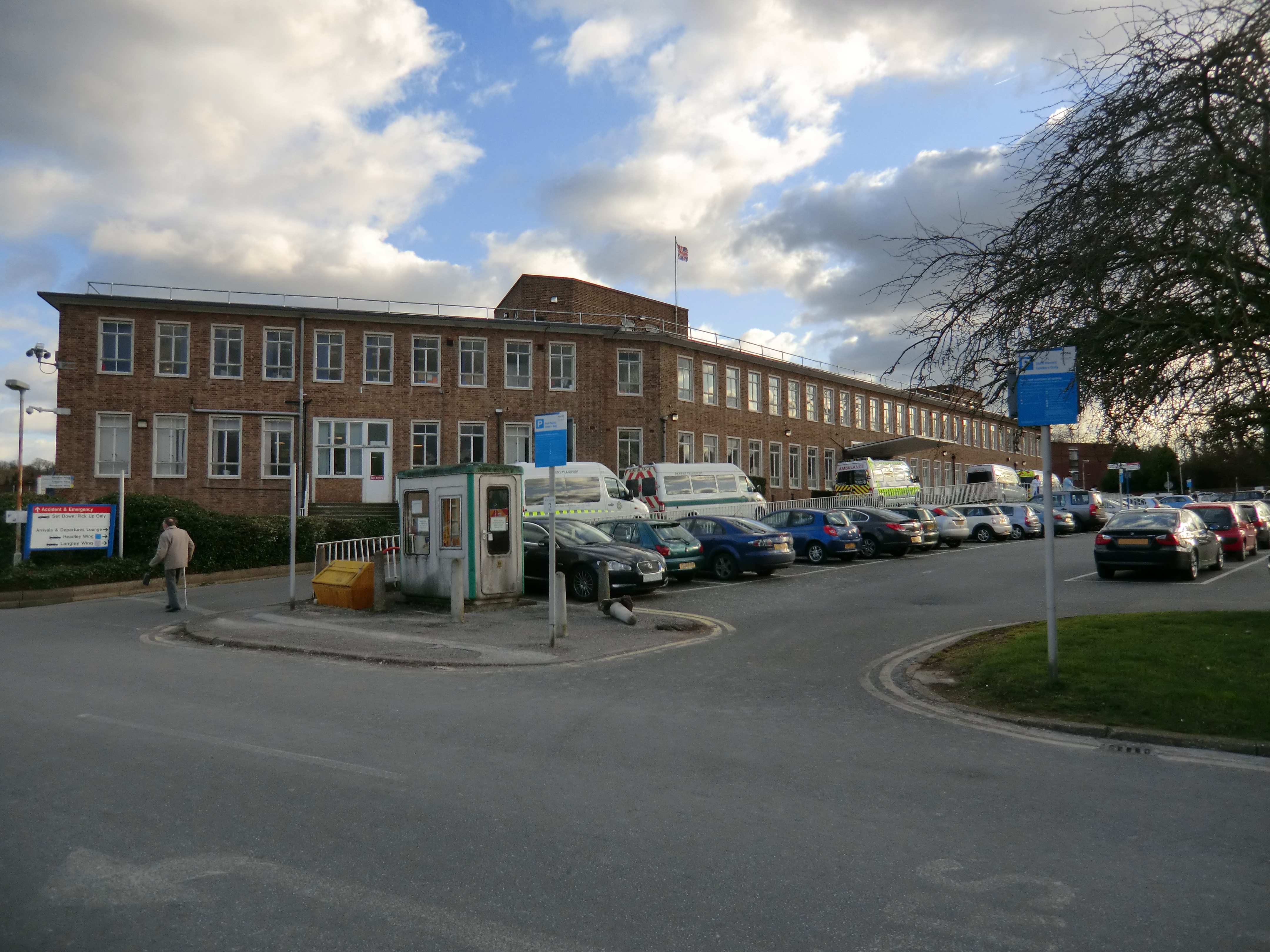
Epsom Hospital

Epsom Hospital is a teaching hospital in Epsom, Surrey, England. The hospital is situated on Dorking Road 1 kilometre (0.62 mi) south east of the centre...
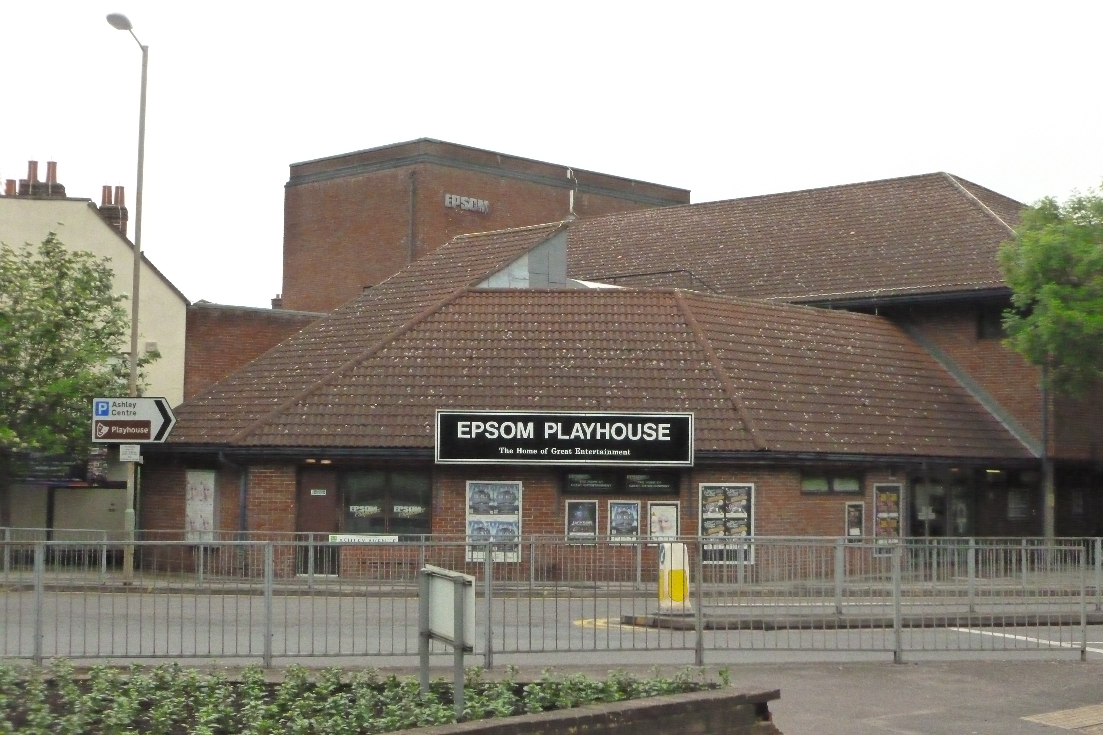
Epsom Playhouse

Epsom Playhouse is the main theatre in Epsom and Ewell, Surrey, England. == Performances == This 406-seat theatre hosts internationally travelling casts...

Kingswood House School

Kingswood House School is a private school in Epsom, Surrey in the United Kingdom. It was founded in 1899 and moved to its present site in West Hill in...
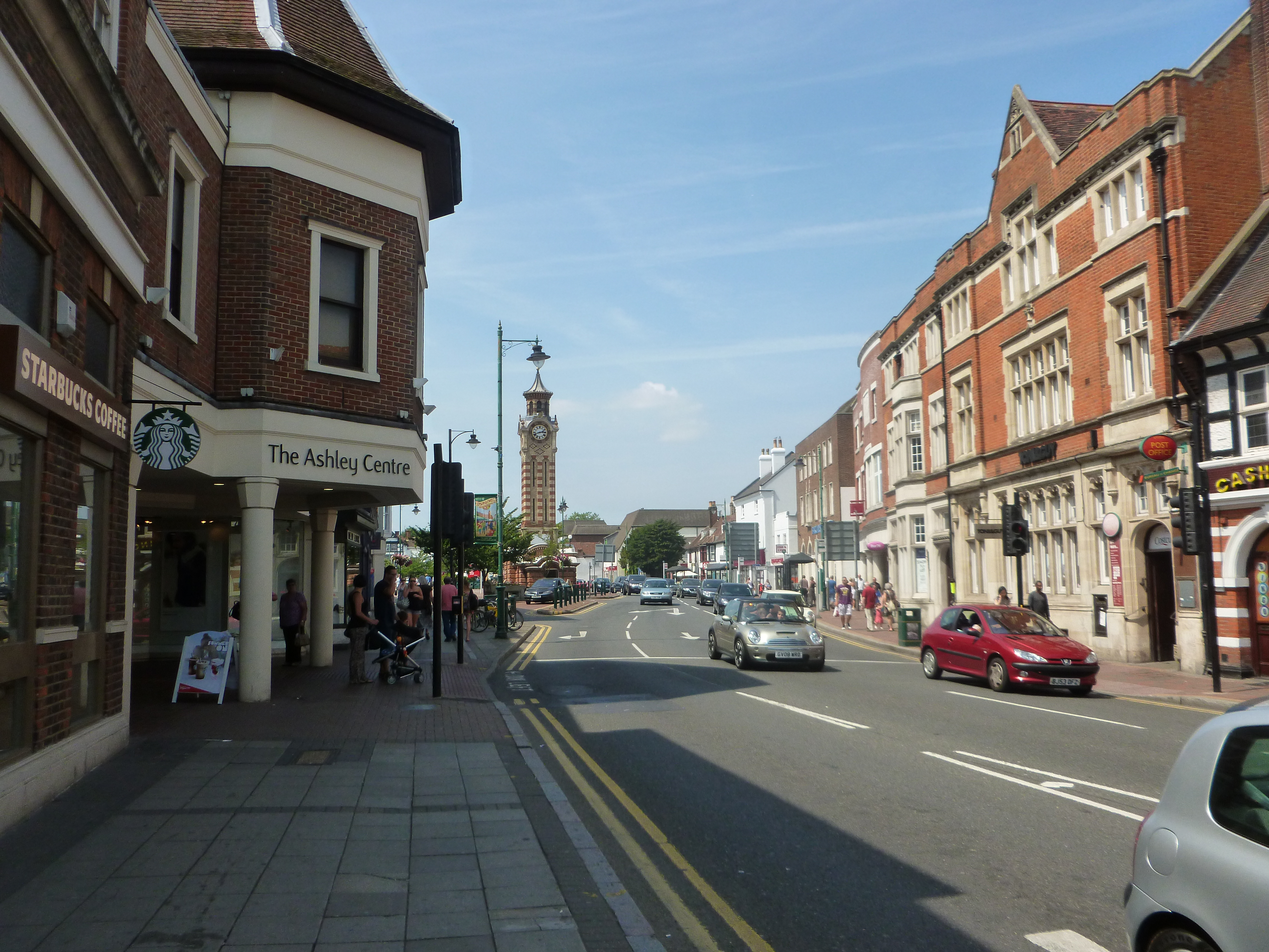
The Ashley Centre

The Ashley Centre (for a brief period rebranded The Mall Ashley) is a shopping centre, in Epsom, Surrey. The Ashley Centre was opened on 24 October 1984...

Epsom

Epsom is a town in the Borough of Epsom and Ewell in Surrey, England, about 14 miles (22 kilometres) south of central London. The town is first recorded...

Nearby Amenities

Located within 500m of 51.329396,-0.275407
Crossing
Crossing: traffic_signals
Crossing Ref: puffin
Lat/Long: 51.3330733/-0.2714351
Pub
The Albion
Addr City: Epsom
Addr Housenumber: 134
Addr Postcode: KT19 8BT
Addr Street: High Street
Wikidata: Q26508214
Lat/Long: 51.3326883/-0.2706674
Pub
Acorn 30
Note: Refurb/rebranded Sept 2012
Lat/Long: 51.3320433/-0.2710528
Restaurant
Sicily
Addr Housenumber: 34
Addr Postcode: KT18 7PF
Addr Street: South Street
Cuisine: italian
Fhrs Id: 29235
Source Addr: FHRS Open Data
Lat/Long: 51.3317299/-0.2709857
Railway: switch
Lat/Long: 51.3333932/-0.2721679
Post Box
Collection Times: Mo-Fr 09:00; Sa 07:00
Operator: Royal Mail
Post Box Type: pillar
Ref: KT18 53D
Royal Cypher: GVIR
Royal Cypher Wikidata: Q33102169
Lat/Long: 51.3298507/-0.2804599
Pub
The Jolly Coopers
Addr Housenumber: 84
Addr Postcode: KT18 7SD
Addr Street: Wheelers Lane
Facebook: jollycoopersepsom
Fhrs Id: 972346
Instagram: jolly_coopers
Microbrewery: yes
Source Addr: FHRS Open Data
Twitter: jolly_coopers
Website: https://jollycoopers.co.uk/
Lat/Long: 51.3311789/-0.2817364
Traffic Signals
Traffic Signals Direction: backward
Lat/Long: 51.3313314/-0.2705457
Traffic Signals
Lat/Long: 51.331153/-0.270129
Place Of Worship
Grace Baptist Church
Denomination: baptist
Religion: christian
Lat/Long: 51.3258705/-0.2771316
Post Box
Brand: Royal Mail
Brand Wikidata: Q638098
Brand Wikipedia: en:Royal Mail
Collection Times: Mo-Fr 09:00; Sa 07:00
Operator: Royal Mail
Operator Wikidata: Q638098
Post Box Type: pillar
Ref: KT18 18D
Royal Cypher: EIIR
Royal Cypher Wikidata: Q33102113
Lat/Long: 51.3260124/-0.2761899
Telephone
Booth: KXPlus
Covered: booth
Lat/Long: 51.3265686/-0.2738534
Crossing
Lat/Long: 51.3308646/-0.2729911
Crossing
Lat/Long: 51.3316172/-0.2707173
Post Box
Brand: Royal Mail
Brand Wikidata: Q638098
Brand Wikipedia: en:Royal Mail
Collection Times: Mo-Fr 09:00; Sa 07:00
Operator: Royal Mail
Operator Wikidata: Q638098
Post Box Type: pillar
Ref: KT18 90D
Royal Cypher: GVIR
Royal Cypher Wikidata: Q33102169
Lat/Long: 51.3281508/-0.2702314
Public Building
Epsom Working Mens Club and Insititute Union
Lat/Long: 51.3328051/-0.272563
Post Box
Brand: Royal Mail
Brand Wikidata: Q638098
Brand Wikipedia: en:Royal Mail
Collection Times: Mo-Fr 09:00; Sa 07:00
Operator: Royal Mail
Operator Wikidata: Q638098
Post Box Mounting: pier
Post Box Type: lamp
Ref: KT18 31D
Royal Cypher: EIIR
Royal Cypher Wikidata: Q33102113
Lat/Long: 51.3318241/-0.2730776
Cafe
Cafe Viriato
Addr City: Epsom
Addr Housenumber: 31
Addr Postcode: KT18 7PJ
Addr Street: South Street
Fhrs Id: 730951
Lat/Long: 51.3321187/-0.2706747
Shop: pet
Lat/Long: 51.3319686/-0.2706918
Taxi
Lat/Long: 51.3329255/-0.2709516
Gillespies Bakery
Addr Housenumber: 26
Addr Postcode: KT18 7RJ
Addr Street: West Street
Fhrs Id: 27705
Shop: bakery
Source Addr: FHRS Open Data
Wheelchair: limited
Lat/Long: 51.3332328/-0.2717964
Bus Stop
Avenue Road
Bus: yes
Naptan AtcoCode: 40004406011B
Naptan Bearing: N
Naptan CommonName: Avenue Road
Naptan Indicator: opp
Naptan Landmark: Woodcote Road
Naptan NaptanCode: surgpdwt
Naptan Street: Woodcote Road
Naptan Verified: no
Public Transport: platform
Ref: 53096
Source: naptan_import
Wheelchair: yes
Wheelchair Description: Step-free to stop opposite via driveways nearby.
Lat/Long: 51.3276472/-0.2702197
Bus Stop
West Street
Local Ref: E
Naptan AtcoCode: 40004406034A
Naptan Bearing: W
Naptan CommonName: West Street
Naptan Indicator: Stop E
Naptan Landmark: West Street Stop E
Naptan NaptanCode: surajmgw
Naptan Street: West Street
Naptan Verified: no
Public Transport: platform
Source: naptan_import
Lat/Long: 51.3330031/-0.2713397
Bus Stop
Epsom Hospital
Bus: yes
Local Ref: R
Naptan AtcoCode: 40004406036A
Naptan Bearing: NE
Naptan CommonName: Epsom Hospital
Naptan Indicator: Stop R
Naptan Landmark: Orchard Gardens
Naptan NaptanCode: surajmjg
Naptan Street: Dorking Road
Naptan Verified: no
Public Transport: platform
Ref: 76047
Source: naptan_import
Website: https://nextbuses.mobi/WebView/BusStopSearch/BusStopSearchResults/surajmjm
Wheelchair: yes
Wheelchair Description: Step-free to stop opposite and Hospital via controlled crossing 25m to east.
Lat/Long: 51.3259409/-0.2764052
Bus Stop
Epsom Hospital
Bus: yes
Local Ref: Q
Naptan AtcoCode: 40004406036B
Naptan Bearing: SW
Naptan CommonName: Epsom Hospital
Naptan Indicator: Stop Q
Naptan Landmark: Epsom Hospital
Naptan NaptanCode: surajmjm
Naptan Street: Dorking Road
Naptan Verified: no
Public Transport: platform
Ref: 74846
Source: naptan_import
Website: https://nextbuses.mobi/WebView/BusStopSearch/BusStopSearchResults/surajmjm
Wheelchair: yes
Wheelchair Description: Step-free to stop opposite via controlled crossing 50m to west.
Lat/Long: 51.32627/-0.2744609
Bus Stop
Epsom Hospital
Bus: yes
Local Ref: P
Naptan AtcoCode: 40004406036C
Naptan Bearing: SW
Naptan CommonName: Epsom Hospital
Naptan Indicator: Stop P
Naptan Landmark: Epsom Hospital
Naptan NaptanCode: surajmjp
Naptan Street: Dorking Road
Naptan Verified: no
Public Transport: platform
Ref: 49528
Source: naptan_import
Website: https://nextbuses.mobi/WebView/BusStopSearch/BusStopSearchResults/surajmjp
Wheelchair: yes
Wheelchair Description: Step-free to stop opposite via controlled crossing 100m to west.
Lat/Long: 51.3265059/-0.2739317
Bus Stop
Elmslie Close
Bus: yes
Naptan AtcoCode: 40004406037A
Naptan Bearing: NE
Naptan CommonName: Elmslie Close
Naptan Indicator: Just after
Naptan Landmark: Elmslie Close
Naptan NaptanCode: surajmjt
Naptan Street: Dorking Road
Naptan Verified: no
Public Transport: platform
Ref: 51048
Source: naptan_import
Website: https://nextbuses.mobi/WebView/BusStopSearch/BusStopSearchResults/surajmjt
Wheelchair: yes
Wheelchair Description: Step-free to Hospital and stop opposite.
Lat/Long: 51.3273948/-0.2730056
Bus Stop
Elmslie Close
Bus: yes
Naptan AtcoCode: 40004406037B
Naptan Bearing: SW
Naptan CommonName: Elmslie Close
Naptan Indicator: Just Before
Naptan Landmark: Elmslie Close
Naptan NaptanCode: surajmjw
Naptan Street: Dorking Road
Naptan Verified: no
Public Transport: platform
Ref: 48883
Source: naptan_import
Website: https://nextbuses.mobi/WebView/BusStopSearch/BusStopSearchResults/surajmjw
Wheelchair: yes
Wheelchair Description: Step-free to stop opposite via island refuge
Lat/Long: 51.3274309/-0.2727158
Bus Stop
Westlands Court
Bus: yes
Naptan AtcoCode: 40004406114B
Naptan Bearing: SW
Naptan CommonName: Westlands Court
Naptan Indicator: Just after
Naptan Landmark: Westlands Court
Naptan NaptanCode: suramagw
Naptan Street: Dorking Road
Naptan Verified: no
Public Transport: platform
Ref: 51759
Source: naptan_import
Lat/Long: 51.3253103/-0.2783022
Bus Stop
Rosebank
Naptan AtcoCode: 40004406125A
Naptan Bearing: S
Naptan CommonName: Rosebank
Naptan Indicator: S-bound
Naptan Landmark: Rosebank
Naptan NaptanCode: suramapa
Naptan Street: Rosebank
Naptan Verified: no
Public Transport: platform
Source: naptan_import
Lat/Long: 51.3310455/-0.274144
Bus Stop
Rosebank
Naptan AtcoCode: 40004406138A
Naptan Bearing: NW
Naptan CommonName: Rosebank
Naptan Indicator: NW-bound
Naptan Landmark: Rosebank
Naptan NaptanCode: suramapg
Naptan Street: Rosebank
Naptan Verified: no
Public Transport: platform
Source: naptan_import
Lat/Long: 51.3302239/-0.2745337
Bus Stop
Westlands Court
Bus: yes
Naptan AtcoCode: 40004406919A
Naptan Bearing: NE
Naptan CommonName: Westlands Court
Naptan Indicator: Just Before
Naptan Landmark: Westlands Court/Whitmore Road
Naptan NaptanCode: suramgjg
Naptan Street: Dorking Road
Naptan Verified: no
Public Transport: platform
Source: naptan_import
Lat/Long: 51.3254472/-0.2782634
Traffic Signals
Lat/Long: 51.3314758/-0.2695622
Crossing
Crossing: traffic_signals
Crossing Ref: puffin
Lat/Long: 51.3331712/-0.2716072
Kit Stone Kitchens
Shop: doityourself
Lat/Long: 51.3292844/-0.2699325
Bicycle Parking
Lat/Long: 51.326051/-0.2728284
Restaurant
Epsom Thai
Addr City: Epsom
Addr Housenumber: 20
Addr Postcode: KT18 7PF
Addr Street: South Street
Cuisine: thai
Fhrs Id: 14737
Phone: +44 1372 724 333
Lat/Long: 51.3323263/-0.270816
Restaurant
Makiyaki
Addr Housenumber: 29
Addr Postcode: KT18 7PJ
Addr Street: South Street
Fhrs Id: 33433
Source Addr Postcode: FHRS Open Data
Wikidata: Q26508649
Lat/Long: 51.3322844/-0.270588
Addr City: Epsom
Addr Housenumber: 26
Addr Postcode: KT18 7PF
Addr Street: South Street
Lat/Long: 51.3321319/-0.2709394
Atm
Lat/Long: 51.3282798/-0.2708886
Post Box
Lat/Long: 51.3261299/-0.2733631
Railway: switch
Lat/Long: 51.3326885/-0.2737389
Railway: switch
Lat/Long: 51.332888/-0.2731497
Railway: buffer_stop
Lat/Long: 51.3309947/-0.2763926
Railway: buffer_stop
Lat/Long: 51.3310542/-0.276541
Railway: switch
Lat/Long: 51.3323611/-0.2744228
Railway: buffer_stop
Lat/Long: 51.3328764/-0.2734457
Railway: switch
Lat/Long: 51.3325207/-0.2740592
Railway: switch
Lat/Long: 51.33297/-0.2730631
Bus Stop
Avenue Road
Bus: yes
Naptan AtcoCode: 40004406011A
Naptan Bearing: S
Naptan CommonName: Avenue Road
Naptan Indicator: adj
Naptan NaptanCode: surajgtm
Naptan Street: Woodcote Road
Naptan Verified: no
Public Transport: platform
Ref: 54845
Wheelchair: yes
Wheelchair Description: Step-free to stop opposite via driveways nearby.
Lat/Long: 51.3275733/-0.2700112
Ice House
Historic: building
Lat/Long: 51.3285435/-0.2741075
Bench
Backrest: yes
Lat/Long: 51.3302567/-0.2695938
Bench
Backrest: yes
Lat/Long: 51.330291/-0.2691992
Crossing
Crossing: traffic_signals
Lat/Long: 51.3336138/-0.2737003
Bench
Lat/Long: 51.3281063/-0.2720823
Bench
Lat/Long: 51.3305792/-0.2692817
Bench
Lat/Long: 51.3306055/-0.2686832
Bench
Lat/Long: 51.3303552/-0.2707872
Crossing
Crossing: traffic_signals
Kerb: lowered
Tactile Paving: yes
Wheelchair: yes
Lat/Long: 51.3260463/-0.2757147
The Stitch Mouse
Addr City: Epsom
Addr Housenumber: 22
Addr Postcode: KT18 7PF
Addr Street: South Street
Shop: haberdashery
Website: https://thestitchmouse.co.uk/
Lat/Long: 51.3322989/-0.2707977
M&S Simply Food
Brand: M&S Simply Food
Brand Wikidata: Q714491
Brand Wikipedia: en:Marks & Spencer
Fixme: Has this store closed? (Store website says it's closed every day)
Shop: supermarket
Website: https://www.marksandspencer.com/stores/epsom-hospital-0824
Lat/Long: 51.3261739/-0.2730194
WHSmith
Brand: WHSmith
Brand Wikidata: Q1548712
Brand Wikipedia: en:WHSmith
Shop: newsagent
Lat/Long: 51.3252325/-0.273447
Pharmacy
Epsom Hospital Pharmacy
Dispensing: yes
Healthcare: pharmacy
Lat/Long: 51.3258841/-0.2734951
Toilets
Lat/Long: 51.3259528/-0.273404
Taxi
Viceroy Cars
Lat/Long: 51.3329263/-0.2711987
Ooh La La
Shop: clothes
Lat/Long: 51.3329333/-0.2713278
Peacock & Co Solicitors
Office: lawyer
Lat/Long: 51.3329364/-0.2713853
Car Rental
Enterprise
Brand: Enterprise
Brand Wikidata: Q17085454
Brand Wikipedia: en:Enterprise Rent-A-Car
Official Name: Enterprise Rent-A-Car
Wheelchair: limited
Lat/Long: 51.3329372/-0.2714869
Fabric World
Shop: fabric
Wheelchair: yes
Lat/Long: 51.3328343/-0.2716231
RVS
Shop: convenience
Lat/Long: 51.3255744/-0.2740344
Clinic
Alliance MRI Unit
Healthcare: clinic
Lat/Long: 51.325699/-0.2727753
Toilets
Lat/Long: 51.325089/-0.2733785
Myers Studio
Building: yes
Lat/Long: 51.3313879/-0.2702293
Main Auditorium
Building: yes
Lat/Long: 51.3316027/-0.2701295
Bar
Eligo
Lat/Long: 51.3314403/-0.2703974
Epsom Hospital
Public Transport: platform
Lat/Long: 51.3256183/-0.2739952
Traffic Signals
Traffic Signals Direction: forward
Lat/Long: 51.3331607/-0.2718857
Traffic Signals
Traffic Signals Direction: backward
Lat/Long: 51.3330634/-0.2713705
Traffic Signals
Traffic Signals Direction: forward
Lat/Long: 51.3330472/-0.2717967
Crossing
Crossing: marked
Lat/Long: 51.3254917/-0.2739309
Crossing
Crossing: marked
Lat/Long: 51.3263374/-0.2728819
Crossing
Crossing: marked
Lat/Long: 51.3255021/-0.27254
Railway: switch
Lat/Long: 51.3331903/-0.272552
Post Box
Brand: Royal Mail
Brand Wikidata: Q638098
Brand Wikipedia: en:Royal Mail
Collection Times: Mo-Fr 09:00; Sa 07:00; Su off
Drive Through: no
Operator: Royal Mail
Operator Wikidata: Q638098
Post Box Type: pillar
Ref: KT19 166D
Royal Cypher: GVIR
Royal Cypher Wikidata: Q33102169
Source: survey
Lat/Long: 51.3336597/-0.2758512
Crossing
Crossing: traffic_signals
Tactile Paving: yes
Lat/Long: 51.3311154/-0.2703906
Crossing
Crossing: traffic_signals
Tactile Paving: yes
Lat/Long: 51.3313078/-0.2701789
Crossing
Crossing: traffic_signals
Tactile Paving: yes
Lat/Long: 51.3312107/-0.270205
Crossing
Crossing: traffic_signals
Lat/Long: 51.331561/-0.2693403
Crossing
Crossing: traffic_signals
Lat/Long: 51.3314223/-0.269114
Crossing
Crossing: traffic_signals
Lat/Long: 51.3313232/-0.269299
Traffic Signals
Traffic Signals Direction: backward
Lat/Long: 51.3312882/-0.269272
Traffic Signals
Traffic Signals Direction: forward
Lat/Long: 51.3310747/-0.2703743
Crossing
Crossing: traffic_signals
Tactile Paving: yes
Lat/Long: 51.3311297/-0.2701742
Traffic Signals
Lat/Long: 51.3312254/-0.2701434
Traffic Signals
Traffic Signals Direction: backward
Lat/Long: 51.3315911/-0.269315
Traffic Signals
Lat/Long: 51.3314278/-0.2690643
Building: house
House: terraced
Lat/Long: 51.3261274/-0.2798067
Kindergarten
Shapes Day Nursery
Lat/Long: 51.3326209/-0.2728314
Kindergarten
The Kindergarten at St Joseph's
Lat/Long: 51.3304707/-0.2751355
The data included in this document is from www.openstreetmap.org. The data is made available under ODbL.

Have you been to Epsom?

Leave your review of Epsom below (or comments, questions and feedback).