Flax Field
Wood, Forest in Sussex Mid Sussex
England
Flax Field
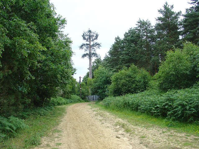
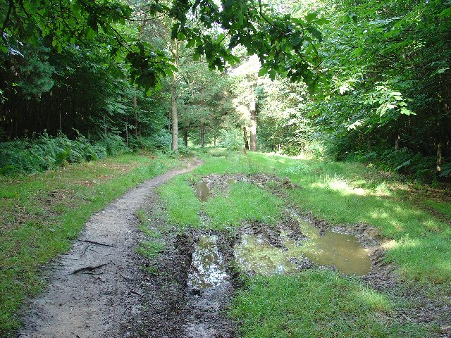
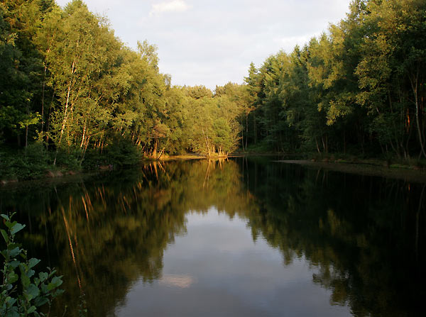
Flax Field, located in Sussex, England, is a picturesque wood and forest area renowned for its abundant flax plants. It is an expansive natural landscape covering several acres, characterized by the dense growth of flax plants that dominate the area.
Flax, scientifically known as Linum usitatissimum, is a versatile plant known for its slender stems and delicate blue flowers. It is primarily cultivated for its fibers, which are used in the production of linen textiles. Flax Field boasts an impressive collection of these plants, creating a stunning visual display during the blooming season.
The area is popular among nature enthusiasts, botanists, and photographers, who flock to witness the breathtaking sight of the flax plants in full bloom. The vibrant blue flowers create a striking contrast against the lush green foliage, offering a mesmerizing spectacle that is particularly captivating when viewed from a distance.
Flax Field is also home to a diverse range of wildlife, including various bird species, insects, and small mammals. The dense vegetation provides ample shelter and sustenance for these creatures, making it an important ecological habitat.
Visitors to Flax Field can explore the area through designated walking trails, allowing them to fully immerse themselves in the natural beauty of the wood and forest. The tranquil ambiance and the abundance of flax plants make it an ideal location for a peaceful stroll or a picnic amidst nature.
Overall, Flax Field in Sussex offers a unique and enchanting experience, with its vast expanse of flax plants, diverse wildlife, and serene surroundings. It is a must-visit destination for those seeking to connect with nature and appreciate the wonders of the natural world.
If you have any feedback on the listing, please let us know in the comments section below.
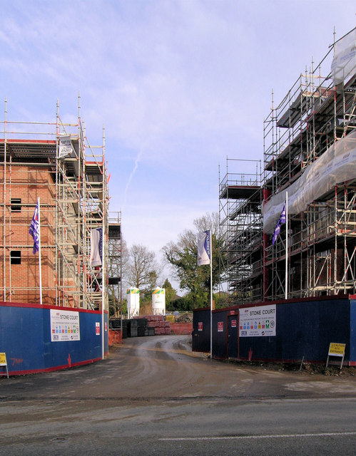
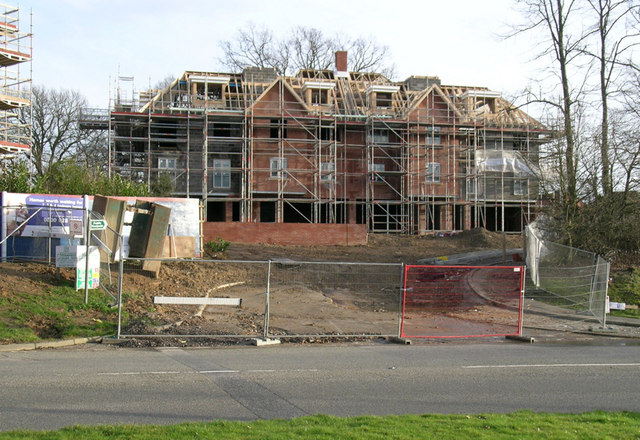
Flax Field Images
Images are sourced within 2km of 51.099716/-0.14676975 or Grid Reference TQ2935. Thanks to Geograph Open Source API. All images are credited.
Flax Field is located at Grid Ref: TQ2935 (Lat: 51.099716, Lng: -0.14676975)
Administrative County: West Sussex
District: Mid Sussex
Police Authority: Sussex
What 3 Words
///thinks.taxi.leaned. Near Maidenbower, West Sussex
Nearby Locations
Related Wikis

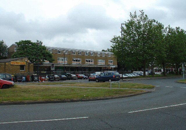
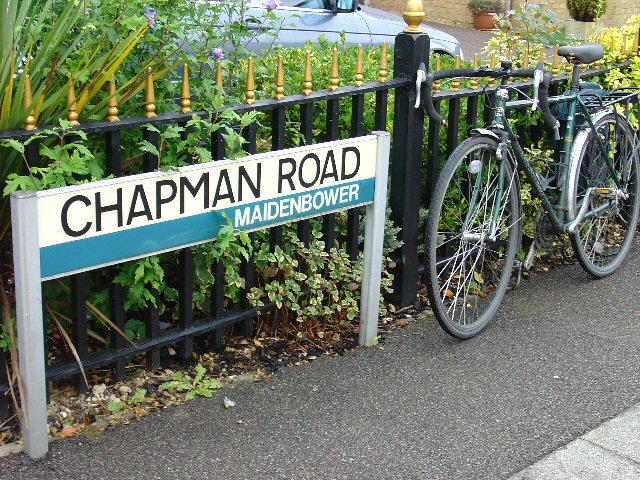
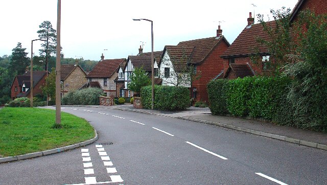
Maidenbower
Maidenbower is one of 14 neighbourhoods within the town of Crawley in West Sussex, England. Maidenbower is located in the south east corner of the town...

Furnace Green
Furnace Green is one of 14 neighbourhoods in Crawley in West Sussex, England, and a local government ward. Furnace Green is located to the east of the...

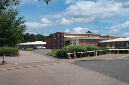
Oriel High School
Oriel High School is a maintained community secondary school for pupils aged 11 to 18. It opened in September 2004 as part of a reorganisation of secondary...

Maidenbower (electoral division)
Maidenbower is an electoral division of West Sussex in the United Kingdom, and returns one member to sit on West Sussex County Council. The current County...

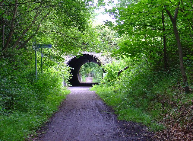
Tilgate Forest
Tilgate Forest is a 6.9-hectare (17-acre) Local Nature Reserve in Crawley in West Sussex. It is owned and managed by Crawley Borough Council and is part...

St Nicholas Church, Worth
St Nicholas Church is a Church of England parish church in Worth, a village in Crawley, England, which at one time had the largest geographical parish...
Worth, West Sussex
Worth is either a civil parish in the Mid Sussex District of West Sussex, or a distinct but historically related village in Crawley. == Civil parish... ==

Burgess Hill East (electoral division)
Burgess Hill East is an electoral division of West Sussex in the United Kingdom, and returns one member to sit on West Sussex County Council. == Extent... ==
Nearby Amenities
Located within 500m of 51.099716,-0.14676975Have you been to Flax Field?
Leave your review of Flax Field below (or comments, questions and feedback).