Little Tolls Shaw
Wood, Forest in Sussex Mid Sussex
England
Little Tolls Shaw

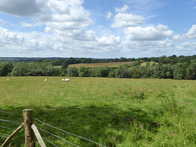
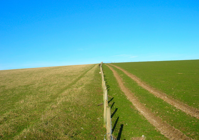
Little Tolls Shaw is a picturesque woodland located in the county of Sussex, England. Spanning over an area of approximately 100 acres, this enchanting forest is known for its serene beauty and diverse range of flora and fauna.
The woodland is predominantly covered by native broadleaf trees, including oak, ash, beech, and birch, which create a dense canopy overhead. The forest floor is adorned with a carpet of wildflowers, ferns, and mosses, adding to the tranquil atmosphere of the area.
Little Tolls Shaw is a haven for wildlife enthusiasts, as it provides a natural habitat for various species. Birdwatchers can spot a wide array of avian species, including woodpeckers, owls, and songbirds. The forest is also home to mammals such as deer, foxes, and badgers, which can often be seen foraging or going about their daily activities.
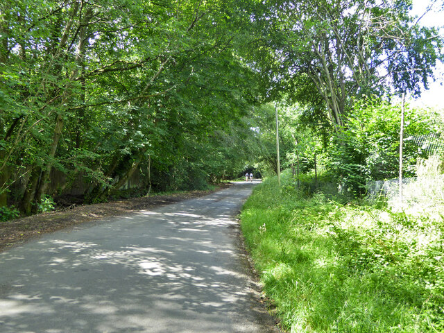
The woodland is crisscrossed by a network of well-maintained footpaths and trails, allowing visitors to explore its beauty at their own pace. These pathways lead to hidden clearings, bubbling streams, and small ponds, offering visitors the opportunity to immerse themselves in the tranquility of nature.
Little Tolls Shaw is a popular destination for outdoor activities such as hiking, nature walks, and photography. The forest is especially captivating during the autumn months when the foliage transforms into a stunning display of vibrant reds, oranges, and yellows.
Overall, Little Tolls Shaw is a hidden gem in Sussex, providing a peaceful escape from the hustle and bustle of daily life. Its natural beauty and abundant wildlife make it a must-visit destination for nature lovers and those seeking a rejuvenating experience in the heart of the English countryside.
If you have any feedback on the listing, please let us know in the comments section below.
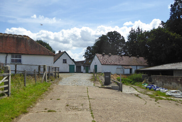
Little Tolls Shaw Images
Images are sourced within 2km of 51.030438/-0.1510747 or Grid Reference TQ2927. Thanks to Geograph Open Source API. All images are credited.


Little Tolls Shaw is located at Grid Ref: TQ2927 (Lat: 51.030438, Lng: -0.1510747)
Administrative County: West Sussex
District: Mid Sussex
Police Authority: Sussex
What 3 Words
///orchestra.decking.croaking. Near South Nutfield, Surrey
Nearby Locations
Related Wikis

Tyes Place
Tyes Place is a listed historic manor house in Staplefield, West Sussex, England. It was once a farm, then in the first half of the 20th century it was...
Mid Sussex District
Mid Sussex is a local government district in the non-metropolitan county of West Sussex, England, within the historic county of Sussex. It contains the...

Cuckfield & Lucastes (electoral division)
Cuckfield & Lucastes is an electoral division of West Sussex in England, and returns one member to sit on West Sussex County Council. == Extent == The...
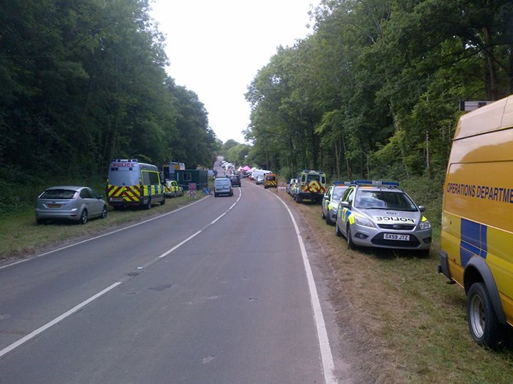
Balcombe drilling protest
The Balcombe drilling protest occurred when test drilling and possible fracking for petroleum were proposed in 2012 near Balcombe, a village in West Sussex...

Staplefield
Staplefield is a village in the Mid Sussex District of West Sussex, England, situated 6 kilometres (3.7 mi) north-west of Haywards Heath on the B2114...

Cuckfield
Cuckfield ( KUUK-feeld) is a village and civil parish in the Mid Sussex District of West Sussex, England, on the southern slopes of the Weald. It lies...

Mid Sussex (UK Parliament constituency)
Mid Sussex is a constituency represented in the House of Commons of the UK Parliament from 2019 by Mims Davies, a Conservative. She is currently a minister...
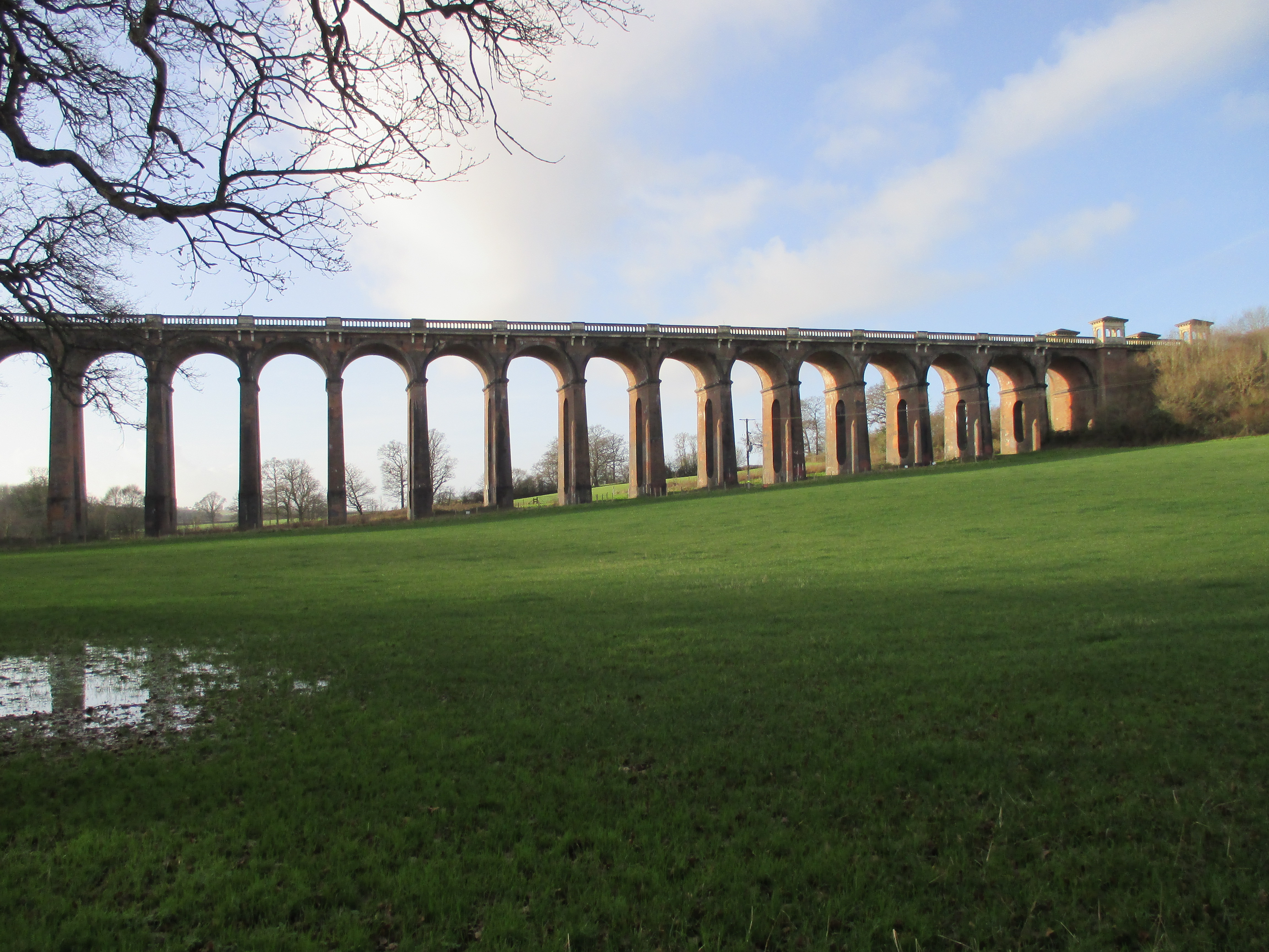
Ouse Valley Viaduct
The Ouse Valley Viaduct (or the Balcombe Viaduct) carries the London-Brighton Railway Line over the River Ouse in Sussex. It is located to the north of...
Nearby Amenities
Located within 500m of 51.030438,-0.1510747Have you been to Little Tolls Shaw?
Leave your review of Little Tolls Shaw below (or comments, questions and feedback).