Balcombe Forest
Wood, Forest in Sussex Mid Sussex
England
Balcombe Forest

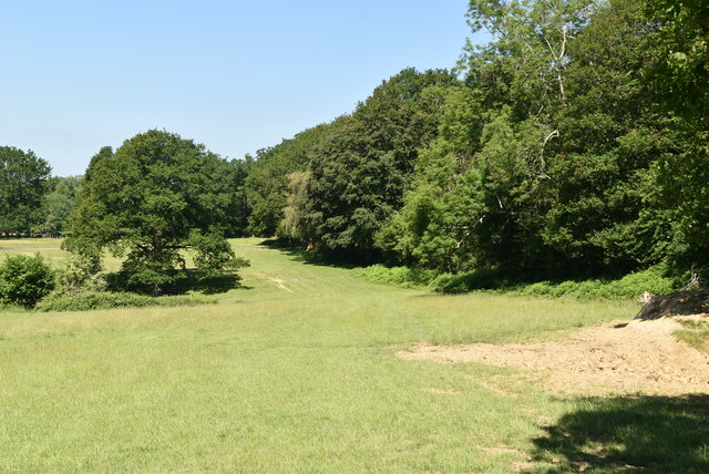
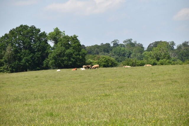
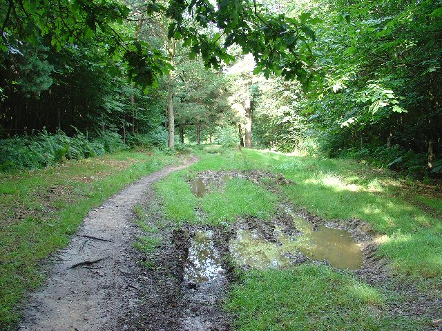
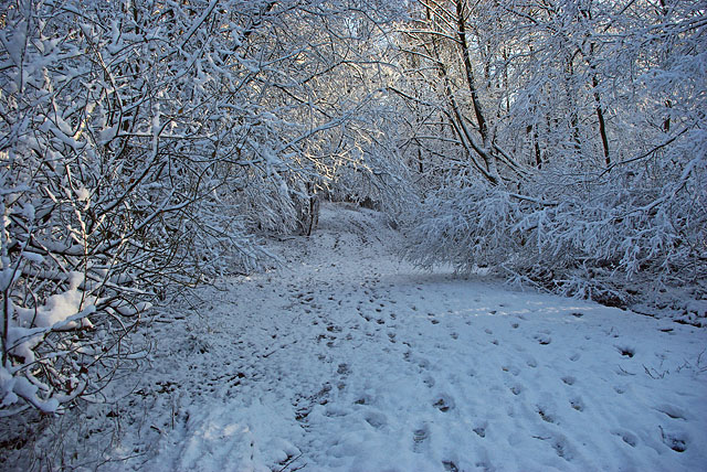
Balcombe Forest is a picturesque woodland located in the county of Sussex, England. Covering an area of approximately 850 acres, it is a popular destination for nature lovers and outdoor enthusiasts. The forest is situated near the village of Balcombe and is easily accessible from nearby towns and cities.
The forest is predominantly composed of broadleaf trees, such as oak, beech, and birch, creating a diverse and vibrant ecosystem. These trees form a dense canopy, providing shade and shelter for a variety of wildlife species. Additionally, the forest is home to several species of birds, including woodpeckers, owls, and various songbirds.
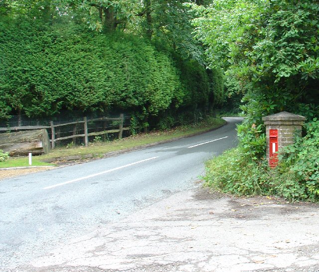
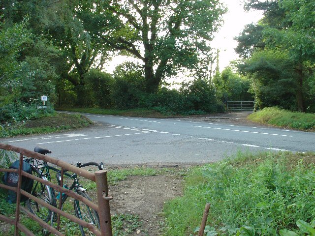
Balcombe Forest offers a network of well-maintained walking trails that wind through the woodland, allowing visitors to explore its natural beauty. These trails vary in difficulty, catering to both casual walkers and more experienced hikers. Along the way, visitors can enjoy stunning views of the forest, tranquil streams, and occasional glimpses of wildlife.
The forest also boasts a rich history, with evidence of human activity dating back centuries. There are remnants of ancient settlements, as well as old charcoal burning platforms, providing insight into the area's past.
Overall, Balcombe Forest is a haven of tranquility and natural beauty. Whether it's for a leisurely stroll, birdwatching, or simply escaping the hustle and bustle of daily life, this woodland offers a serene retreat for visitors to enjoy.
If you have any feedback on the listing, please let us know in the comments section below.
Balcombe Forest Images
Images are sourced within 2km of 51.07032/-0.14981406 or Grid Reference TQ2931. Thanks to Geograph Open Source API. All images are credited.


Balcombe Forest is located at Grid Ref: TQ2931 (Lat: 51.07032, Lng: -0.14981406)
Administrative County: West Sussex
District: Mid Sussex
Police Authority: Sussex
What 3 Words
///rationed.scars.describes. Near Balcombe, West Sussex
Nearby Locations
Related Wikis
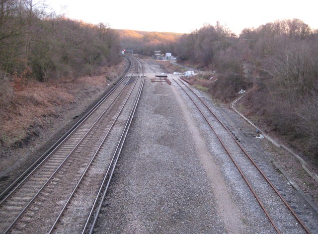
Balcombe tunnel
Balcombe tunnel is a railway tunnel on the Brighton Main Line through the Sussex Weald between Three Bridges and Balcombe. It is 1,034 metres (1,131 yards...

Worth Forest
Worth Forest is a 43.8-hectare (108-acre) biological Site of Special Scientific Interest south of Crawley in West Sussex. It is in the High Weald Area...
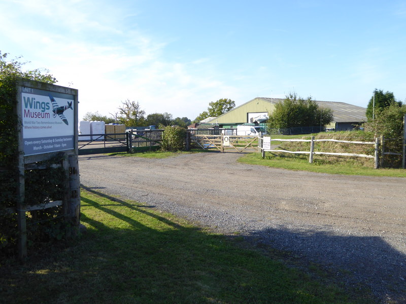
Wings Museum
The Wings Museum is an aviation museum located in Sussex, United Kingdom. It is housed in a 12,000 square feet (1,100 m2) hangar-like former farm building...
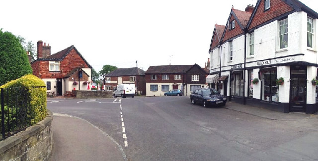
Balcombe
Balcombe is a village and civil parish in the Mid Sussex District of West Sussex, England. It lies 31 miles (50 km) south of London, 16 miles (26 km) north...

Brantridge Park
Brantridge Park, Balcombe, West Sussex, England is a 19th-century country house, formerly one of the lesser royal residences. It is a Grade II listed building...

Balcombe railway station
Balcombe railway station is on the Brighton Main Line in England, serving the village of Balcombe, West Sussex. It is 33 miles 64 chains (54.4 km) down...

Worth Forest (electoral division)
Worth Forest is an electoral division of West Sussex in the United Kingdom, and returns one member to sit on West Sussex County Council. == Extent == The...
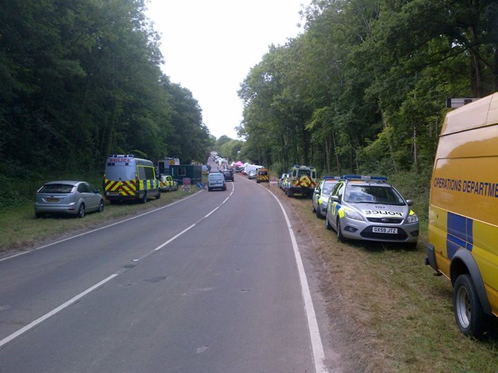
Balcombe drilling protest
The Balcombe drilling protest occurred when test drilling and possible fracking for petroleum were proposed in 2012 near Balcombe, a village in West Sussex...
Have you been to Balcombe Forest?
Leave your review of Balcombe Forest below (or comments, questions and feedback).