Bury Wood
Wood, Forest in Sussex Mid Sussex
England
Bury Wood
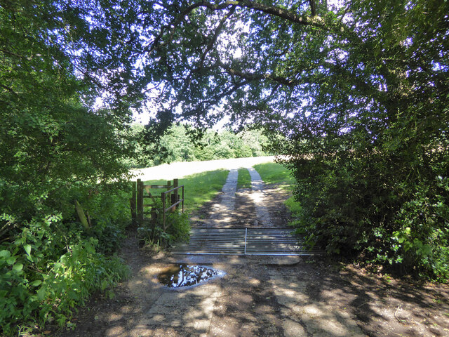
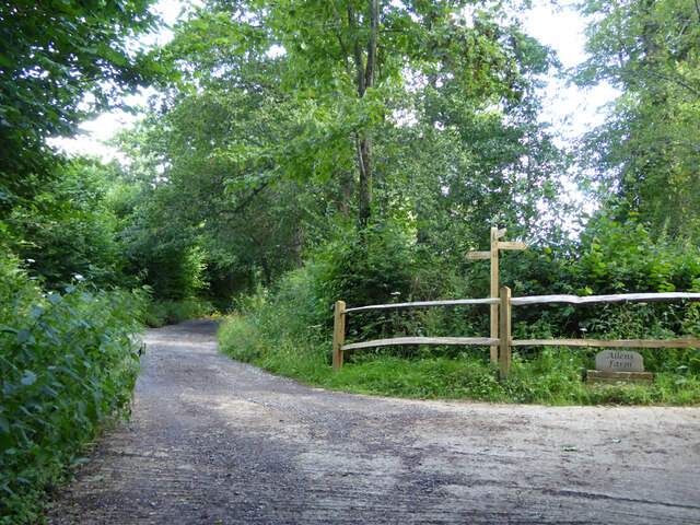
Bury Wood is a picturesque woodland located in Sussex, England. Covering an area of approximately 100 acres, it is nestled in the heart of the South Downs National Park. The woodland is known for its diverse array of flora and fauna, making it a haven for nature enthusiasts and wildlife lovers.
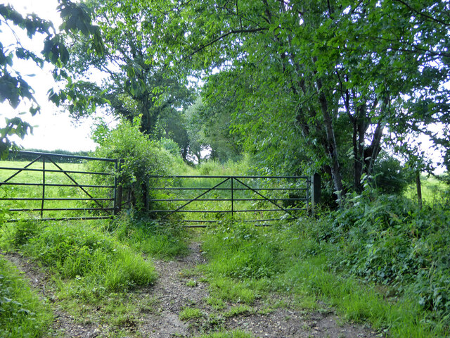
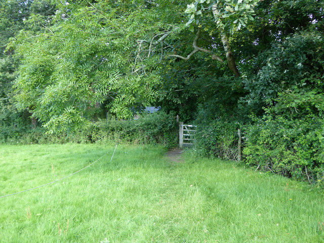
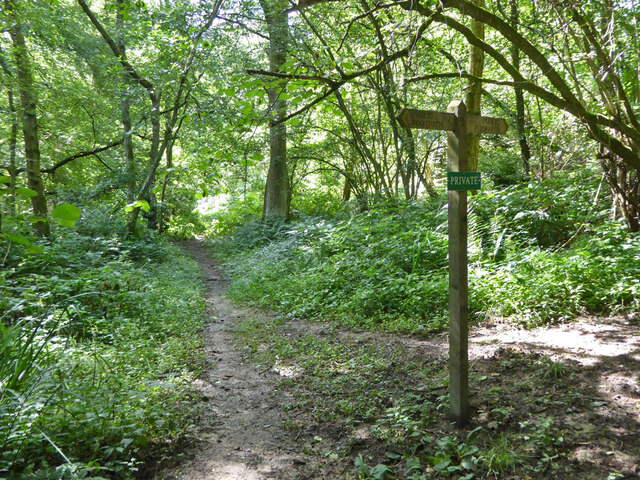
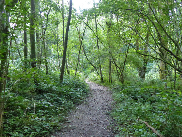
Entering Bury Wood, visitors are greeted by a serene ambiance created by the towering trees that dominate the landscape. Oak, beech, and ash trees are prominent, providing a dense canopy that offers shelter to a variety of wildlife. The forest floor is adorned with bluebells, wild garlic, and ferns, creating a vibrant and colorful carpet during the spring and summer months.
Walking through the wood, one can spot an abundance of bird species, including woodpeckers, tawny owls, and various songbirds. The tranquil atmosphere is occasionally interrupted by the drumming of a woodpecker or the hooting of an owl, adding to the woodland's charm.
Bury Wood is also home to a rich assortment of mammal species. Squirrels scurry among the branches, while badgers and foxes roam the undergrowth. In the evenings, lucky visitors may even catch a glimpse of a deer gracefully navigating through the trees.
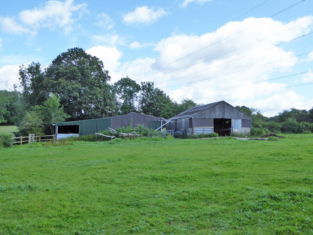
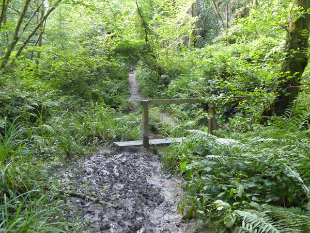
The woodland is well-maintained, with clearly marked trails that allow for easy exploration. It offers a peaceful retreat from the hustle and bustle of everyday life, providing an opportunity to reconnect with nature and enjoy the beauty of the Sussex countryside.
If you have any feedback on the listing, please let us know in the comments section below.
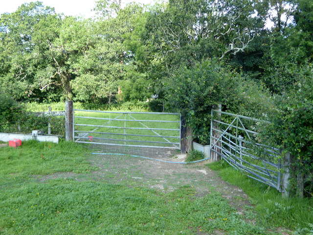
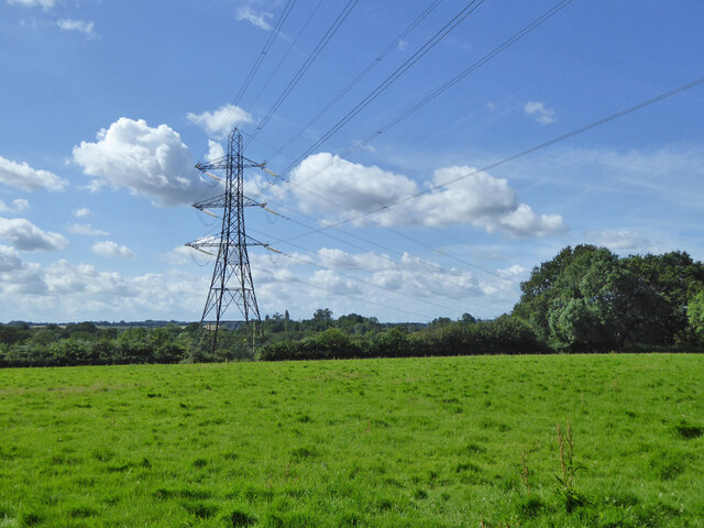
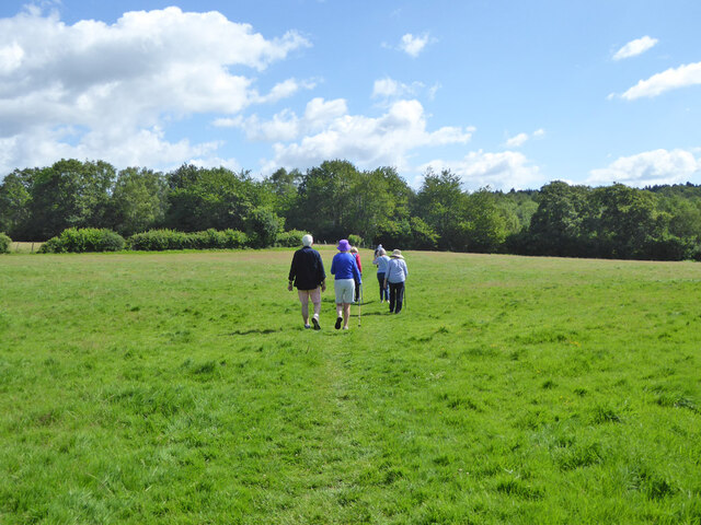
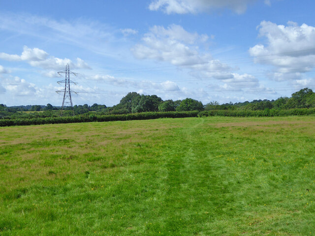
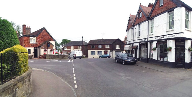
Bury Wood Images
Images are sourced within 2km of 51.054095/-0.15655362 or Grid Reference TQ2929. Thanks to Geograph Open Source API. All images are credited.


Bury Wood is located at Grid Ref: TQ2929 (Lat: 51.054095, Lng: -0.15655362)
Administrative County: West Sussex
District: Mid Sussex
Police Authority: Sussex
What 3 Words
///whizzed.muted.living. Near Balcombe, West Sussex
Nearby Locations
Related Wikis

Brantridge Park
Brantridge Park, Balcombe, West Sussex, England is a 19th-century country house, formerly one of the lesser royal residences. It is a Grade II listed building...
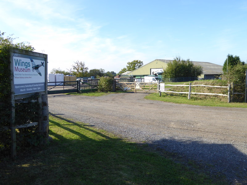
Wings Museum
The Wings Museum is an aviation museum located in Sussex, United Kingdom. It is housed in a 12,000 square feet (1,100 m2) hangar-like former farm building...

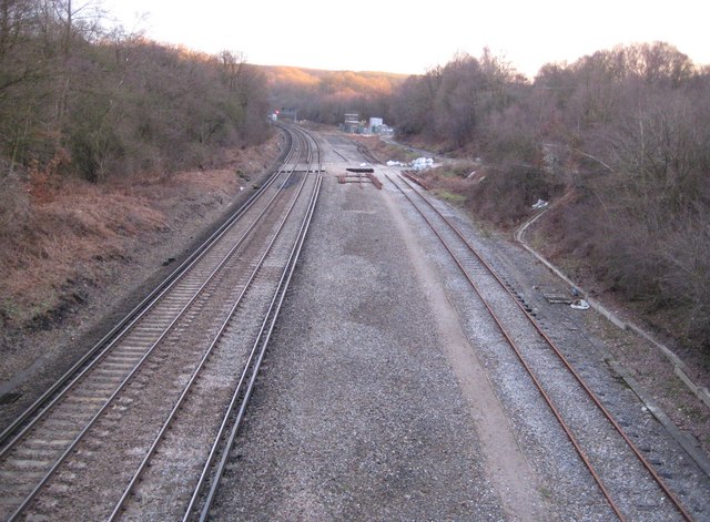
Balcombe railway station
Balcombe railway station is on the Brighton Main Line in England, serving the village of Balcombe, West Sussex. It is 33 miles 64 chains (54.4 km) down...
Balcombe
Balcombe is a village and civil parish in the Mid Sussex District of West Sussex, England. It lies 31 miles (50 km) south of London, 16 miles (26 km) north...
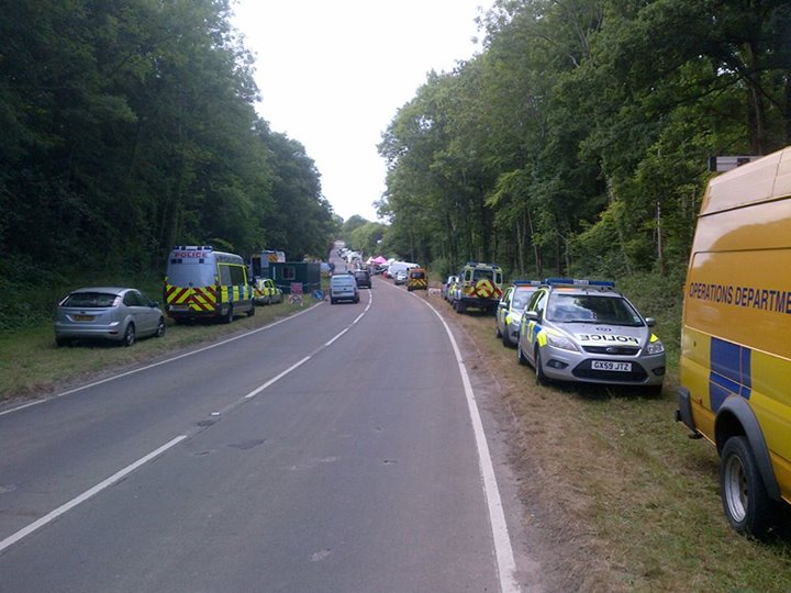
Balcombe drilling protest
The Balcombe drilling protest occurred when test drilling and possible fracking for petroleum were proposed in 2012 near Balcombe, a village in West Sussex...

Tyes Place
Tyes Place is a listed historic manor house in Staplefield, West Sussex, England. It was once a farm, then in the first half of the 20th century it was...
Balcombe tunnel
Balcombe tunnel is a railway tunnel on the Brighton Main Line through the Sussex Weald between Three Bridges and Balcombe. It is 1,034 metres (1,131 yards...

Cow Wood and Harry's Wood
Cow Wood and Harry's Wood is a 75.5-hectare (187-acre) biological Site of Special Scientific Interest east of Handcross in West Sussex. it is in the High...
Nearby Amenities
Located within 500m of 51.054095,-0.15655362Have you been to Bury Wood?
Leave your review of Bury Wood below (or comments, questions and feedback).