Horleyland Wood
Wood, Forest in Surrey Crawley
England
Horleyland Wood
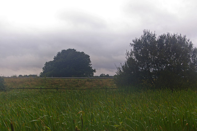
Horleyland Wood, located in Surrey, England, is a captivating forest that stretches over an area of approximately 50 hectares. This ancient woodland is renowned for its diverse flora and fauna, making it a haven for nature enthusiasts and wildlife admirers alike. The wood is located just south of the town of Horley, bordering the counties of Surrey and West Sussex.
The woodland predominantly consists of a mix of deciduous and coniferous trees, including oak, beech, silver birch, and Scots pine. These majestic trees create a dense canopy that provides shade and shelter for a wide variety of plant species. Bluebells, wood anemones, and wild garlic carpet the forest floor during the spring, creating a vibrant burst of color.
Horleyland Wood is home to an array of wildlife species, making it a popular destination for birdwatchers and nature photographers. Visitors may spot species such as great spotted woodpeckers, tawny owls, and nuthatches among the branches. The wood also supports a healthy population of mammals, including deer, foxes, badgers, and squirrels.
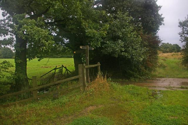
The wood is crisscrossed by several well-maintained walking trails, allowing visitors to explore its natural beauty at their leisure. These paths wind through the forest, offering glimpses of picturesque ponds and tranquil clearings. The wood is also part of the Surrey Hills Area of Outstanding Natural Beauty, further highlighting its significance and allure.
Horleyland Wood is a cherished natural treasure, providing a peaceful retreat from the hustle and bustle of everyday life. Its rich biodiversity and tranquil atmosphere make it a must-visit destination for anyone seeking solace in nature.
If you have any feedback on the listing, please let us know in the comments section below.
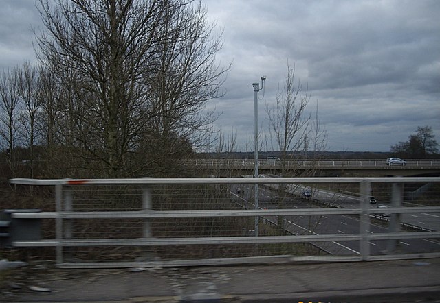
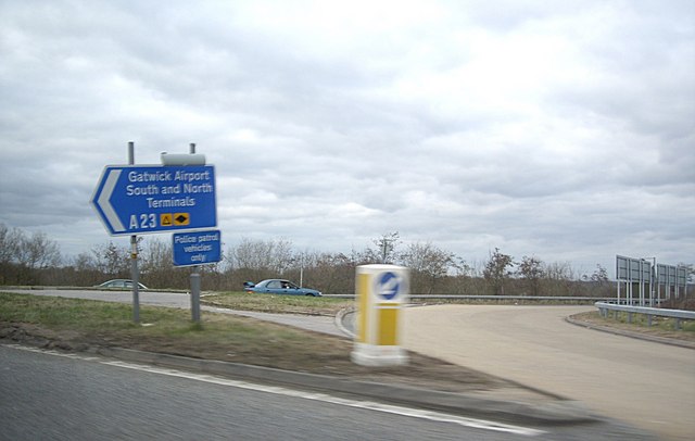
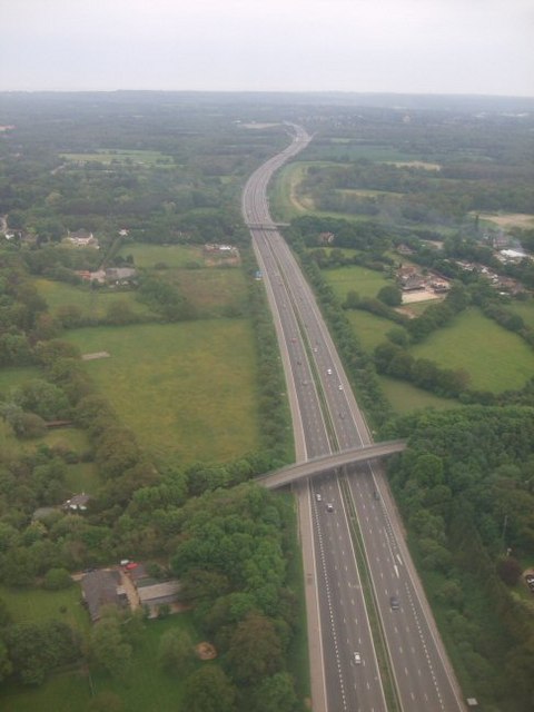
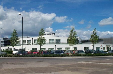
Horleyland Wood Images
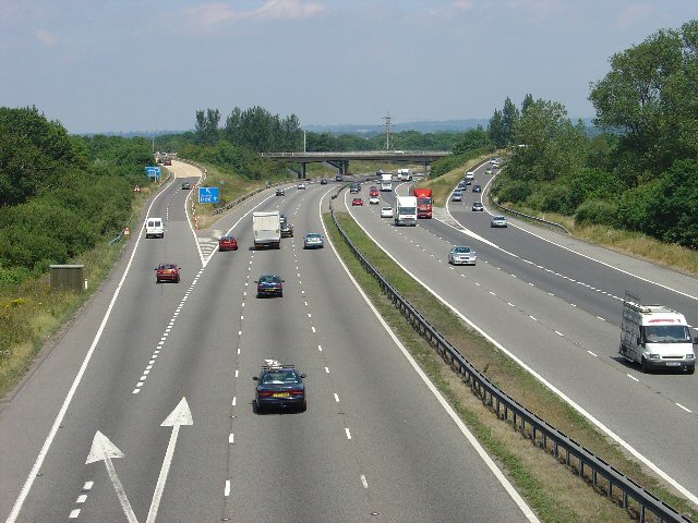
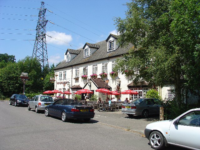
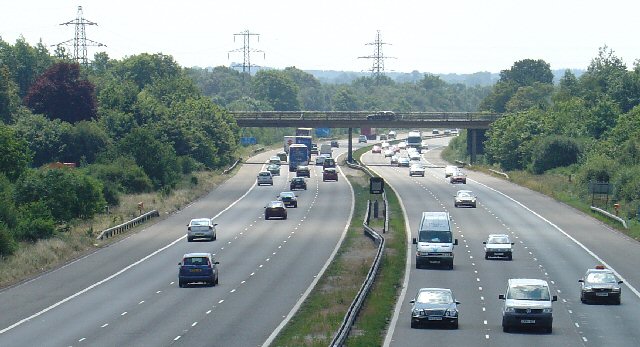
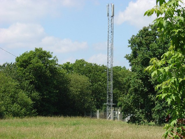
Images are sourced within 2km of 51.149281/-0.15732454 or Grid Reference TQ2840. Thanks to Geograph Open Source API. All images are credited.


Horleyland Wood is located at Grid Ref: TQ2840 (Lat: 51.149281, Lng: -0.15732454)
Administrative County: West Sussex
District: Crawley
Police Authority: Sussex
What 3 Words
///salad.repay.ends. Near Horley, Surrey
Nearby Locations
Related Wikis
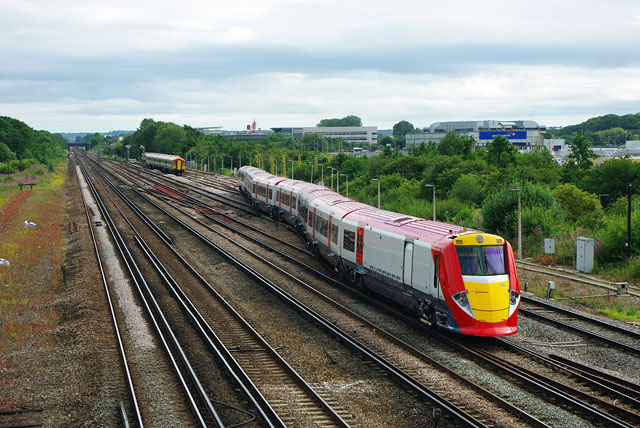
Gatwick Airport Up sidings
Gatwick Airport Up sidings are located near London Gatwick Airport, Crawley, England, situated on the Brighton Main Line south of Gatwick Airport station...

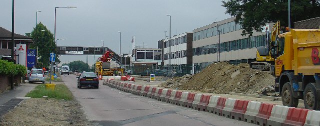
City Place Gatwick
City Place Gatwick is an office complex located on the property of London Gatwick Airport in Crawley, West Sussex, England. The complex includes four buildings...

Beehive, Gatwick Airport
The Beehive is the original terminal building at Gatwick Airport, England. Opened in 1936, it became obsolete in the 1950s as the airport expanded. In...

Tinsley Green, West Sussex
Tinsley Green is an area in the Borough of Crawley, one of seven local government districts in the English county of West Sussex. Originally a hamlet...
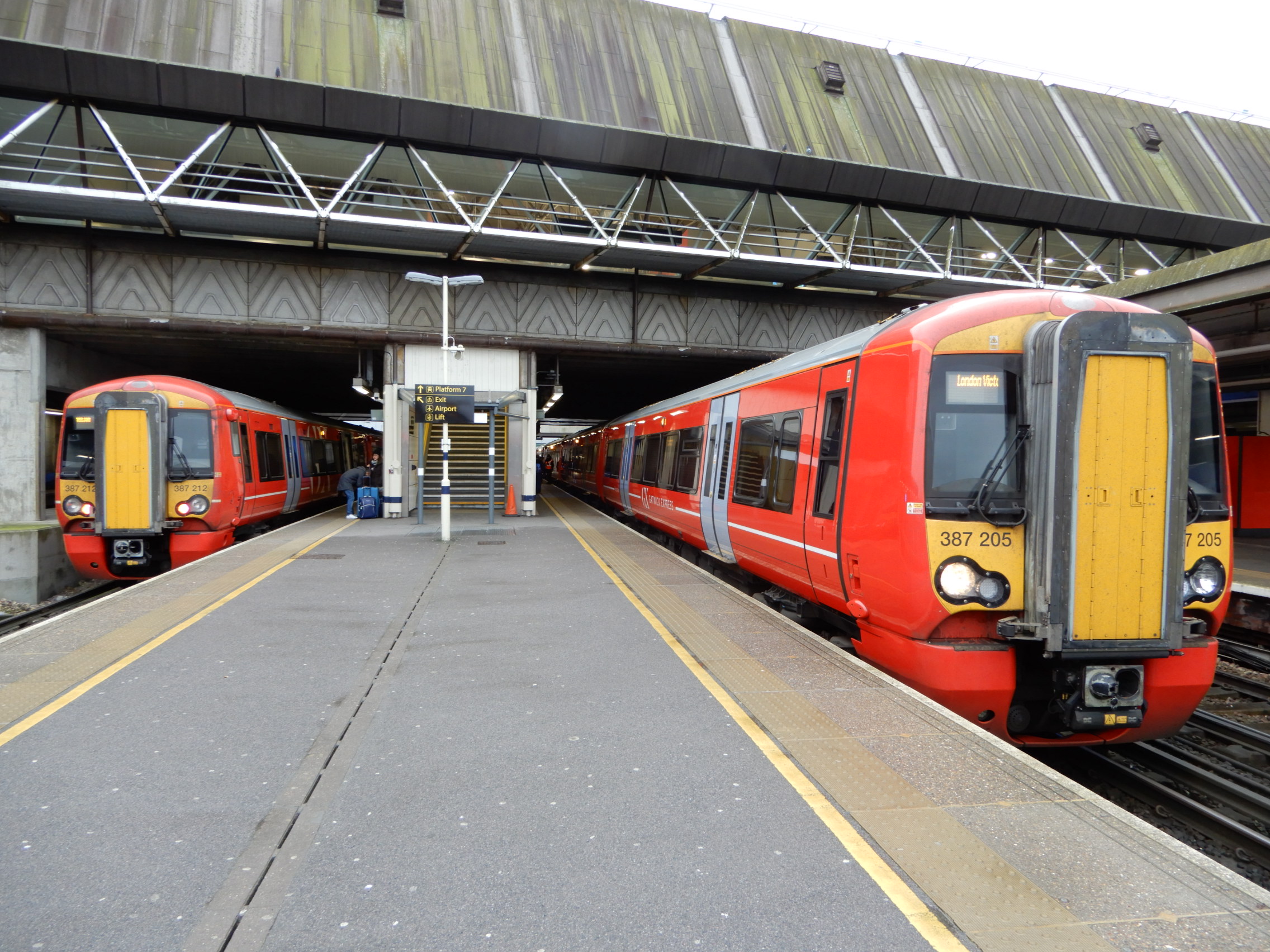
Gatwick Airport railway station
Gatwick Airport railway station is on the Brighton Main Line in West Sussex, England. It serves Gatwick Airport, 26 miles 47 chains (42.8 km) down the...

Ariana Afghan Airlines Flight 701
Ariana Afghan Airlines Flight 701 was the flight involved in a fatal air accident on 5 January 1969, when a Boeing 727 with 62 people on board crashed...
The Gatwick School
The Gatwick School is an all-through free school located on the Manor Royal estate, on the northern outskirts of Crawley, just south of the Gatwick Airport...
Gatwick Racecourse
Gatwick Racecourse was a racecourse in the county of Surrey, England near to Horley and Lowfield Heath. It was in use from 1891 to 1940 when it was closed...
Nearby Amenities
Located within 500m of 51.149281,-0.15732454Have you been to Horleyland Wood?
Leave your review of Horleyland Wood below (or comments, questions and feedback).