Barnsleys Wood
Wood, Forest in Hertfordshire East Hertfordshire
England
Barnsleys Wood
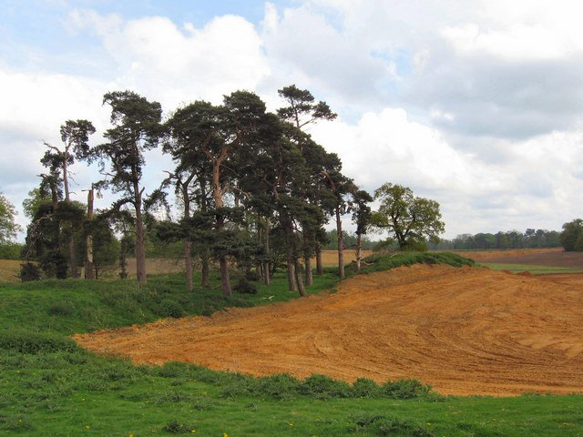
Barnsleys Wood is a captivating woodland located in Hertfordshire, England. Situated in the eastern part of the county, this wood is a natural gem that offers a tranquil escape from the bustling city life. Covering an area of approximately 60 hectares, Barnsleys Wood is an extensive forest that is rich in biodiversity.
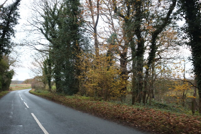
The woodland is characterized by its dense canopy of trees, predominantly consisting of oak, ash, and beech trees. These towering giants provide ample shade and create a serene environment for visitors to explore and enjoy. The forest floor is carpeted with a variety of wildflowers, ferns, and fungi, adding to the picturesque beauty of the wood.
Barnsleys Wood is home to a diverse range of wildlife, making it a haven for nature enthusiasts and wildlife photographers. Visitors may be fortunate enough to spot rare species such as the hazel dormouse, great crested newt, and various species of bats. The wood is also a habitat for a multitude of bird species, including the lesser spotted woodpecker and tawny owl.
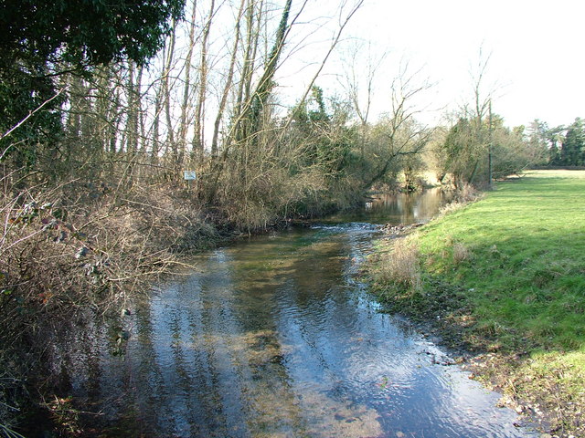
The wood offers a network of well-maintained footpaths, allowing visitors to easily navigate and explore its enchanting trails. These paths meander through the wood, offering glimpses of picturesque ponds and small streams, further enhancing the natural beauty of the area.
Barnsleys Wood is a cherished destination for local residents and visitors alike. Its peaceful atmosphere, diverse flora and fauna, and well-preserved trails make it an ideal location for walking, picnicking, and immersing oneself in nature. Whether one seeks solace, wildlife encounters, or simply a refreshing escape, Barnsleys Wood is a delightful destination to visit in Hertfordshire.
If you have any feedback on the listing, please let us know in the comments section below.
Barnsleys Wood Images
Images are sourced within 2km of 51.80843/-0.13197229 or Grid Reference TL2813. Thanks to Geograph Open Source API. All images are credited.


Barnsleys Wood is located at Grid Ref: TL2813 (Lat: 51.80843, Lng: -0.13197229)
Administrative County: Hertfordshire
District: East Hertfordshire
Police Authority: Hertfordshire
What 3 Words
///scans.undulation.parts. Near Hertford, Hertfordshire
Nearby Locations
Related Wikis

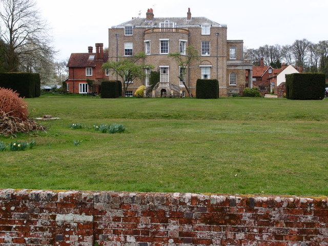
Panshanger
Panshanger was a large country house located between the outer edge of Hertford and Welwyn Garden City in Hertfordshire, England. == History == Earl Cowper...
Marden Hill
Marden Hill is a Grade II* listed country house close to the village of Tewin, Hertfordshire.The house, originally Jacobean but substantially rebuilt in...

Pishiobury
Pishiobury, sometimes spelled Pishobury, was a manor and estate in medieval Sawbridgeworth, Hertfordshire. Its denomination as "Pishiobury" only emerged...

Bramfield, Hertfordshire
Bramfield is a village and civil parish in the East Hertfordshire district, in the county of Hertfordshire, England. Nearby settlements include Hertford...

Tewin
Tewin is an English village and civil parish in Hertfordshire, England between the towns of Welwyn Garden City, Stevenage, Welwyn (village) and the county...

Sele Farm
Sele Farm is an area on the north-western edge of Hertford, Hertfordshire. == Geography == Sele Farm is mostly 60 metres above sea level, on a hill between...

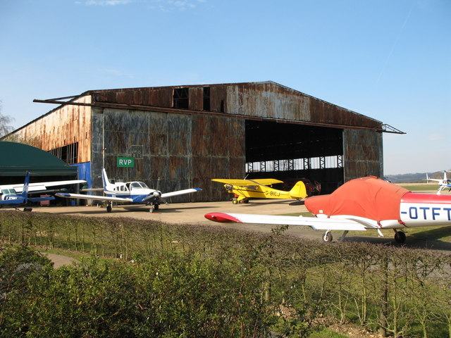
Panshanger Aerodrome
Panshanger Aerodrome (ICAO: EGLG) was a former general aviation aerodrome located on the most eastern tip of Welwyn Garden City, Hertfordshire, England...

Goldings estate
Goldings Estate is a large Elizabethan style country house and surrounding land close to Waterford, north of Hertford, Hertfordshire, England. The house...
Nearby Amenities
Located within 500m of 51.80843,-0.13197229Have you been to Barnsleys Wood?
Leave your review of Barnsleys Wood below (or comments, questions and feedback).