Ash Holt
Wood, Forest in Lincolnshire East Lindsey
England
Ash Holt

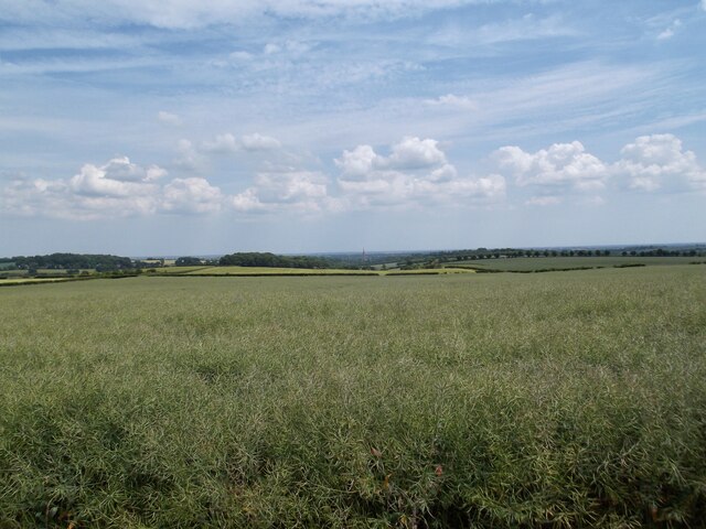
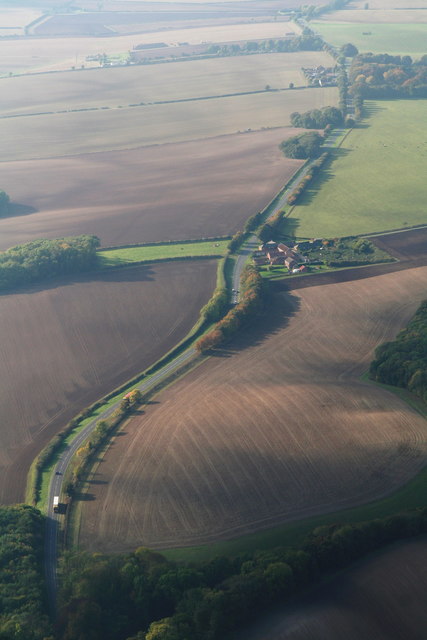
Ash Holt is a small village located in the county of Lincolnshire in England. Situated within the district of Lincoln, it is nestled in a picturesque woodland area known for its dense forests and natural beauty. The village gets its name from the abundant ash trees that populate the area, giving it a distinct character.
With a population of around 500 residents, Ash Holt boasts a close-knit community that prides itself on its peaceful and idyllic surroundings. The village is primarily residential, with charming cottages and houses dotting the landscape. The architecture of these buildings reflects the traditional English countryside style, adding to the village's charm.
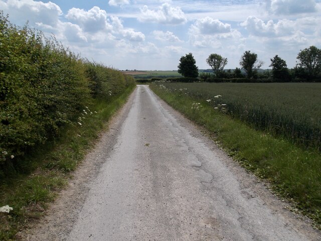
Nature lovers are drawn to Ash Holt due to its proximity to woodlands and forests. The area offers a variety of walking trails and scenic routes, making it a popular destination for hikers and outdoor enthusiasts. The tranquil atmosphere and abundance of wildlife also attract birdwatchers, who can spot various species in the area.
Despite its rural setting, Ash Holt is conveniently located near major road networks, allowing residents easy access to nearby towns and cities. The village benefits from a close proximity to Lincoln, which is approximately 10 miles away, offering a range of amenities and services.
In conclusion, Ash Holt is a small village in Lincolnshire known for its woodland setting, traditional architecture, and close community. With its natural beauty and peaceful atmosphere, it provides an ideal retreat for those seeking a rural lifestyle.
If you have any feedback on the listing, please let us know in the comments section below.
Ash Holt Images
Images are sourced within 2km of 53.347166/-0.066978906 or Grid Reference TF2885. Thanks to Geograph Open Source API. All images are credited.


Ash Holt is located at Grid Ref: TF2885 (Lat: 53.347166, Lng: -0.066978906)
Administrative County: Lincolnshire
District: East Lindsey
Police Authority: Lincolnshire
What 3 Words
///sneezing.suffix.empires. Near Louth, Lincolnshire
Nearby Locations
Related Wikis

Withcall
Withcall is a small farming village and civil parish in the East Lindsey district of Lincolnshire, England. It lies within the Lincolnshire Wolds, and...

Withcall railway station
Withcall railway station was a station in Withcall, Lincolnshire, England. == History == The Great Northern Railway planned and built a branch line from...

Hallington railway station
Hallington railway station was a station in Hallington, Lincolnshire. == History == The Great Northern Railway planned and built a branch line from Bardney...

Hallington
Hallington is a small village and civil parish in the East Lindsey district of Lincolnshire, England. It is situated 2 miles (3 km) south-west from the...

Maltby Preceptory
Maltby Preceptory was a house of the Knights Hospitaller in the village of Maltby, Lincolnshire, England. There are two differing accounts regarding its...

Lincolnshire Wolds
The Lincolnshire Wolds are a range of low hills in the county of Lincolnshire, England which run roughly parallel with the North Sea coast, from the Humber...

Raithby cum Maltby
Raithby cum Maltby is a civil parish in the East Lindsey district of Lincolnshire, England. It is situated about 1 mile (1.6 km) south-west from the market...

Welton Le Wold
Welton le Wold is a village and civil parish in the East Lindsey district of Lincolnshire, England. It is situated approximately 4 miles (6 km) west of...
Related Videos

STUNNING Views in Lincolnshire: Hubbard's Hills Hike #shorts #hike #lincolnshire
STUNNING Views in Lincolnshire: Hubbard's Hills Hike #shorts #hike #lincolnshire We had an amazing hike around Hubbard's ...

Exploring around Hubbards Hills Louth Lincolnshire #shorts #lincolnshire
Exploring around Hubbards Hills Louth Lincolnshire #shorts #lincolnshire Hubbards Hills around the surrounding area are a ...
Nearby Amenities
Located within 500m of 53.347166,-0.066978906Have you been to Ash Holt?
Leave your review of Ash Holt below (or comments, questions and feedback).