Ashen Plantation
Wood, Forest in Sussex Mid Sussex
England
Ashen Plantation
Ashen Plantation, located in Sussex, is a picturesque woodland area renowned for its natural beauty and tranquil atmosphere. Spread across a vast expanse, the plantation is a haven for nature enthusiasts and those seeking solace amidst the lush greenery.
The plantation is primarily composed of dense forests, characterized by towering trees and a diverse range of flora and fauna. The woodlands are home to a variety of native species, including oak, beech, and chestnut trees, which provide a majestic canopy that shields the forest floor from excessive sunlight. This creates a cool and serene environment, perfect for leisurely walks or engaging in outdoor activities.
Ashen Plantation offers a network of well-maintained trails, allowing visitors to explore the area at their own pace. These trails wind through the forest, offering glimpses of enchanting vistas and hidden gems along the way. The plantation also boasts a charming picnic area, providing an ideal spot for visitors to relax and enjoy a meal amidst the natural surroundings.
Wildlife is abundant in Ashen Plantation, with numerous species calling the woodland their home. Birdwatchers flock to the area to catch sight of the diverse avian population, including woodpeckers, owls, and various songbirds. Additionally, small mammals such as rabbits, foxes, and squirrels can often be spotted darting through the undergrowth.
Ashen Plantation, with its unspoiled beauty and peaceful ambiance, is a true gem of Sussex. Whether one seeks a leisurely stroll, a picnic with loved ones, or an opportunity to connect with nature, this woodland sanctuary offers an unforgettable experience for all who venture within its borders.
If you have any feedback on the listing, please let us know in the comments section below.
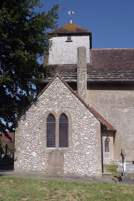
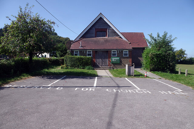
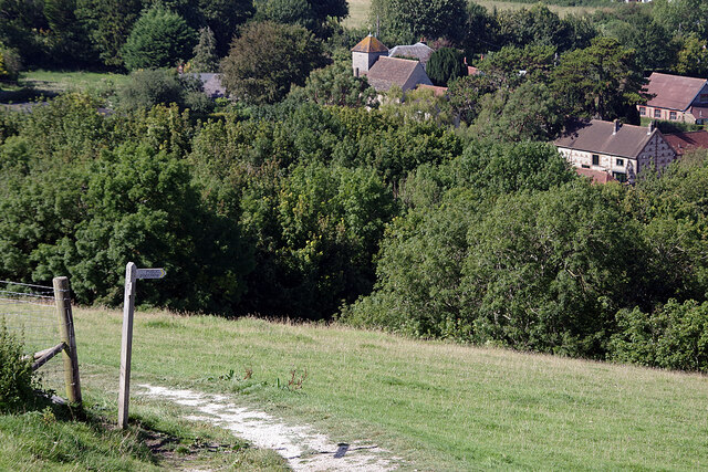
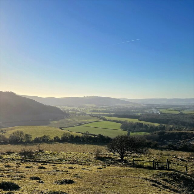
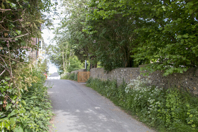
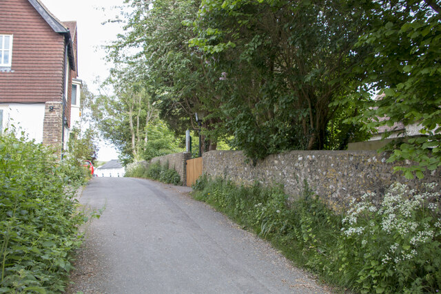
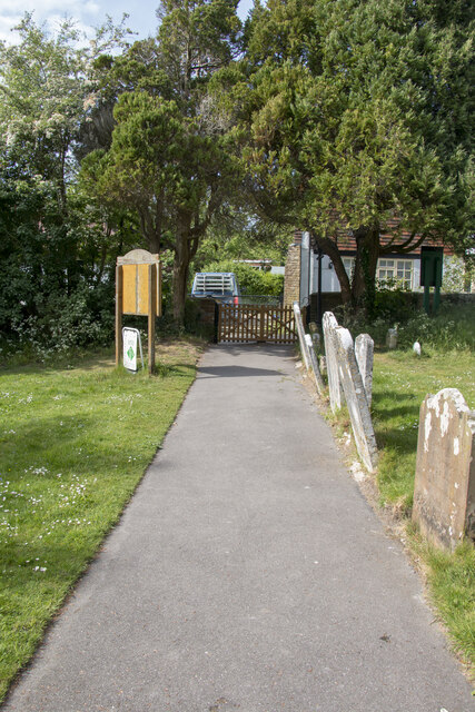
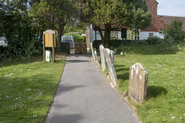
Ashen Plantation Images
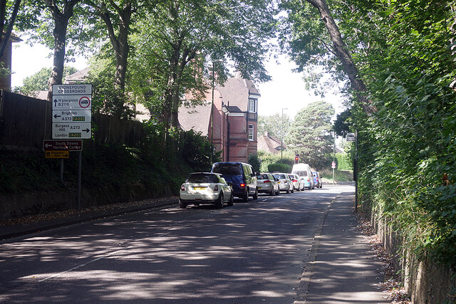
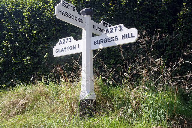
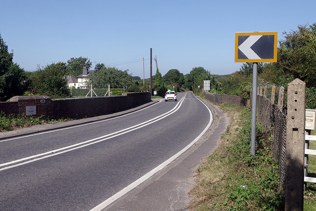
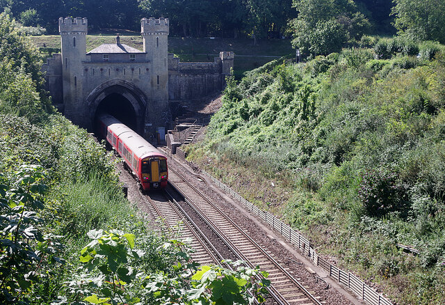
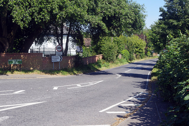
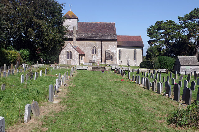
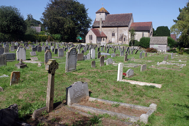
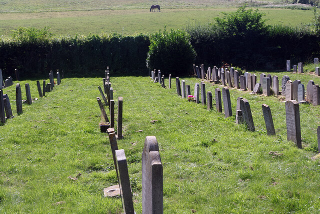
Images are sourced within 2km of 50.912062/-0.17002338 or Grid Reference TQ2814. Thanks to Geograph Open Source API. All images are credited.
Ashen Plantation is located at Grid Ref: TQ2814 (Lat: 50.912062, Lng: -0.17002338)
Administrative County: West Sussex
District: Mid Sussex
Police Authority: Sussex
What 3 Words
///rents.purse.blizzard. Near Hassocks, West Sussex
Nearby Locations
Related Wikis
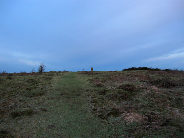
Wolstonbury Hill
Wolstonbury Hill is a 58.9-hectare (146-acre) biological Site of Special Scientific Interest south-west of in West Sussex. It is owned by the National...
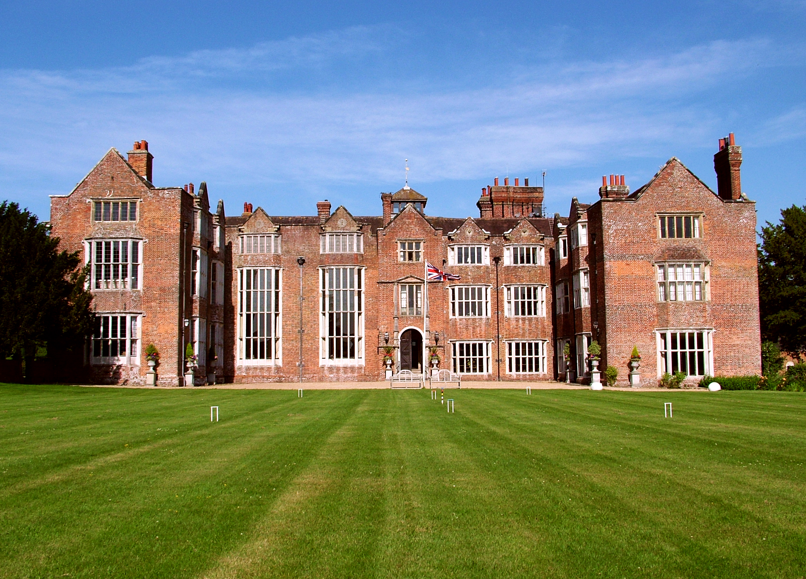
Danny House
Danny House is a Grade I listed Elizabethan red brick mansion near Hurstpierpoint in West Sussex, England. It lies at the northern foot of Wolstonbury...
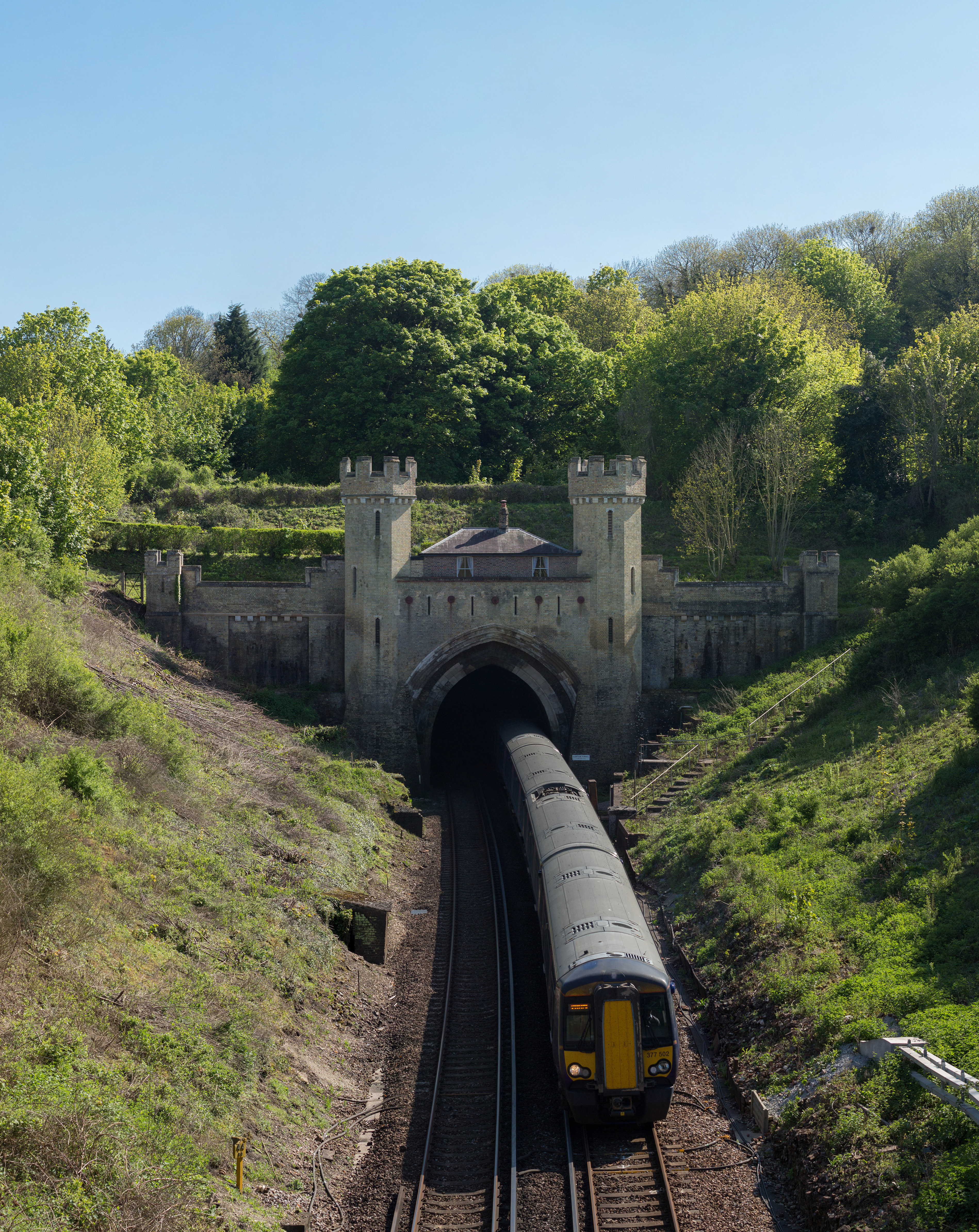
Clayton Tunnel
Clayton Tunnel is a railway tunnel located near the villages of Clayton and Pyecombe in West Sussex, between Hassocks and Preston Park railway stations...

Clayton Tunnel rail crash
The Clayton Tunnel rail crash occurred on Sunday 25 August 1861, five miles (8 km) from Brighton on the south coast of England. At the time it was the...
Nearby Amenities
Located within 500m of 50.912062,-0.17002338Have you been to Ashen Plantation?
Leave your review of Ashen Plantation below (or comments, questions and feedback).