Furze Field

Wood, Forest in Hertfordshire East Hertfordshire

England

Furze Field

Chain Walk Bayford Area Herts Coming down from Bayford or Little Berkhamsted this footpath takes you alongside a stream to the Lower Hatfield Road. From time to time swallow holes open up in the woodland to the south and the stream disappears down them. Hence it is a dry stream bed in this photo. The warning sign has been put on the footbridge by some wag as the quarry on Bunkers Hill has long been closed.
Chain Walk Bayford Area Herts Credit: John Kingdon

Furze Field is a picturesque woodland located in Hertfordshire, England. Covering an area of approximately 100 acres, it is renowned for its rich biodiversity and natural beauty. The forest is characterized by a dense canopy of towering trees, predominantly consisting of oak, beech, and birch species.

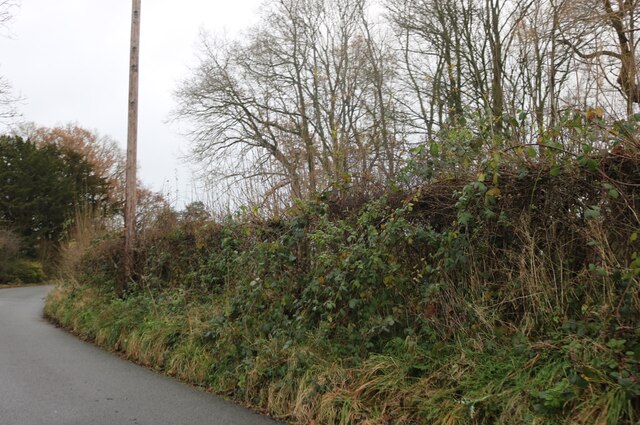
This woodland is a haven for wildlife, providing a habitat for numerous species of birds, mammals, and insects. It is not uncommon to spot woodpeckers, owls, and deer amongst the trees, adding to the tranquility and serenity of the area. The forest floor is adorned with an array of wildflowers, ferns, and mosses, creating a vibrant and colorful backdrop throughout the year.

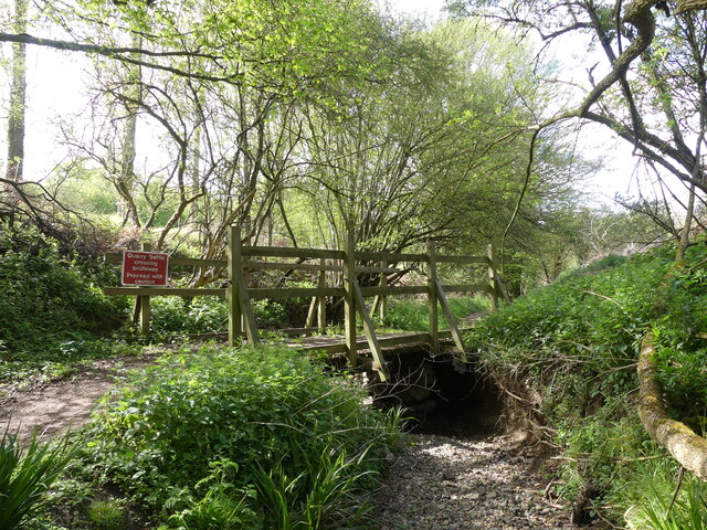
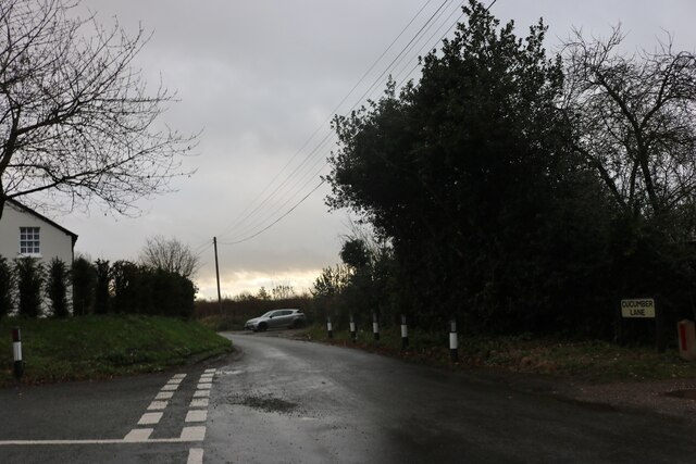
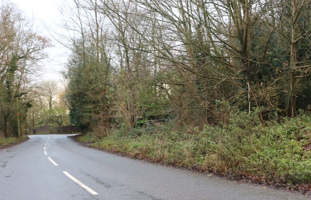
The woodland is crisscrossed by a network of well-maintained footpaths, allowing visitors to explore its beauty at their leisure. These paths lead to various points of interest, including a picturesque pond and a small stream that meanders through the forest. It is a popular destination for nature enthusiasts, walkers, and families seeking a peaceful retreat from the hustle and bustle of urban life.

Furze Field is also steeped in history, with evidence of human habitation dating back centuries. Remnants of ancient settlements, including earthworks and burial mounds, can still be found within the woodland, providing a glimpse into the area's past.

Overall, Furze Field is a treasure trove of natural wonders and a testament to the beauty of Hertfordshire's countryside. Its diverse range of flora and fauna, combined with its tranquil atmosphere, make it a truly enchanting destination for all nature lovers.

If you have any feedback on the listing, please let us know in the comments section below.

Furze Field Images

Images are sourced within 2km of 51.758914/-0.13732038 or Grid Reference TL2808. Thanks to Geograph Open Source API. All images are credited.

Chain Walk Bayford Area Herts Coming down from Bayford or Little Berkhamsted this footpath takes you alongside a stream to the Lower Hatfield Road. From time to time swallow holes open up in the woodland to the south and the stream disappears down them. Hence it is a dry stream bed in this photo. The warning sign has been put on the footbridge by some wag as the quarry on Bunkers Hill has long been closed.
Chain Walk Bayford Area Herts
Coming down from Bayford or Little Berkhamsted this footpath takes you alongside a stream to the Lower Hatfield Road. From time to time swallow holes open up in the woodland to the south and the stream disappears down them. Hence it is a dry stream bed in this photo. The warning sign has been put on the footbridge by some wag as the quarry on Bunkers Hill has long been closed.
Cucumber Lane, Essendon At the junction of Berkhamsted Lane
Cucumber Lane, Essendon
At the junction of Berkhamsted Lane
St Andrew's Church, Little Berkhamsted
Little Berkhamsted Lane
Little Berkhamsted Lane Some maps call it Berkamsted Lane but I am being consistent.
Little Berkhamsted Lane
Some maps call it Berkamsted Lane but I am being consistent.
Church Road, Little Berkhamsted
Apple Daycare, Little Berkhamsted
Church Road, Little Berkhamsted
Epping Green It's the road and village name.
Epping Green
It's the road and village name.
House in Epping Green
St Mary's Church, Bayford, Hertfordshire St Mary's Church, Bayford, Hertfordshire, with the War Memorial
St Mary's Church, Bayford, Hertfordshire
St Mary's Church, Bayford, Hertfordshire, with the War Memorial
Bayford War Memorial, Bayford, Hertfordshire Bayford War Memorial with lych gate to church in background
Bayford War Memorial, Bayford, Hertfordshire
Bayford War Memorial with lych gate to church in background
Part of a road called Bucks Alley Bayford Wood is on the right side of the road and Bell's Wood is on the left.
Part of a road called Bucks Alley
Bayford Wood is on the right side of the road and Bell's Wood is on the left.
Little Berkhamsted
Little Berkhamsted
Essendon church
Essendon church
Houses in Essendon There are several clapboard clad houses in the village. That is more of an Essex tradition, Wonder who introduced the idea?
Houses in Essendon
There are several clapboard clad houses in the village. That is more of an Essex tradition, Wonder who introduced the idea?
Pub with two names at Little  Berkamsted I presume that they are under one management but different functions.
Pub with two names at Little Berkamsted
I presume that they are under one management but different functions.
Show me another place!

Furze Field is located at Grid Ref: TL2808 (Lat: 51.758914, Lng: -0.13732038)

Administrative County: Hertfordshire

District: East Hertfordshire

Police Authority: Hertfordshire

What 3 Words

///obey.gown.dated. Near Hertford, Hertfordshire

Nearby Locations

Furze Field Sandpit Grove

Related Wikis

Little Berkhamsted

Little Berkhamsted is a village and civil parish in Hertfordshire, England, five miles south-west of the town of Hertford. The village is in a hilly location...

Essendon, Hertfordshire

Essendon is a village and civil parish in Hertfordshire 6 miles (10 km), south-west of Hertford. The village is on the B158 road 330 feet (100 m) above...

Woolmers Park

Woolmers Park is a Grade II* listed building in Hertfordshire, England. It was the residence of Claude Bowes-Lyon, 14th Earl of Strathmore and Kinghorne...

Bayford, Hertfordshire

Bayford is a village and civil parish in the East Hertfordshire district of Hertfordshire, England. According to the 2001 census it had a population of...

St John's Church, Letty Green

St John's Church, Letty Green, is a deconsecrated Gothic Revival church in Letty Green, Hertfordshire, England. The building was designed by George Fowler...

Letty Green

Letty Green is a village in the parish of Hertingfordbury, Hertfordshire, England. St John’s Church, Letty Green, the deconsecrated former parish church...

Cole Green railway station

Cole Green railway station was a station at Cole Green, Hertfordshire, England, on the Hertford and Welwyn Junction Railway. It was a passenger station...

Bayford railway station

Bayford railway station serves the villages of Bayford and Brickendon in Hertfordshire, England. The station is on the Hertford Loop Line, 16 miles 56...

Nearby Amenities

Located within 500m of 51.758914,-0.13732038
Created By: YahooApplet 1.0
Lat/Long: 51.7570501/-0.1437171
Created By: YahooApplet 1.0
Lat/Long: 51.7578736/-0.1437171
Created By: YahooApplet 1.0
Lat/Long: 51.7590424/-0.141743
Created By: YahooApplet 1.0
Lat/Long: 51.7584314/-0.141743
Created By: YahooApplet 1.0
Lat/Long: 51.7579798/-0.1410564
Created By: YahooApplet 1.0
Lat/Long: 51.757608/-0.1395544
Created By: YahooApplet 1.0
Lat/Long: 51.757422/-0.139726
Created By: YahooApplet 1.0
Lat/Long: 51.757422/-0.1404556
Created By: YahooApplet 1.0
Lat/Long: 51.7568376/-0.1410993
Created By: YahooApplet 1.0
Lat/Long: 51.7567579/-0.1413139
Created By: YahooApplet 1.0
Lat/Long: 51.7556422/-0.1410135
Created By: YahooApplet 1.0
Lat/Long: 51.754978/-0.1394685
Created By: YahooApplet 1.0
Lat/Long: 51.7546327/-0.1375373
Created By: YahooApplet 1.0
Lat/Long: 51.7550046/-0.1371082
Created By: YahooApplet 1.0
Lat/Long: 51.7546061/-0.1368078
Created By: YahooApplet 1.0
Lat/Long: 51.7600518/-0.1372369
Created By: YahooApplet 1.0
Lat/Long: 51.7589627/-0.1353916
Created By: YahooApplet 1.0
Lat/Long: 51.758272/-0.1353916
Created By: YahooApplet 1.0
Lat/Long: 51.7576611/-0.1355203
Created By: YahooApplet 1.0
Lat/Long: 51.7586705/-0.1392969
Created By: YahooApplet 1.0
Lat/Long: 51.7592549/-0.1395114
Created By: YahooApplet 1.0
Lat/Long: 51.7601311/-0.130628
Created By: YahooApplet 1.0
Lat/Long: 51.7606092/-0.1313575
Created By: YahooApplet 1.0
Lat/Long: 51.7615123/-0.1318725
Man Made: silo
Lat/Long: 51.7552234/-0.1360759
Man Made: silo
Lat/Long: 51.755292/-0.1361025
Man Made: silo
Lat/Long: 51.7553455/-0.1360295
Golf: pin
Lat/Long: 51.7584138/-0.1437736
The data included in this document is from www.openstreetmap.org. The data is made available under ODbL.

Have you been to Furze Field?

Leave your review of Furze Field below (or comments, questions and feedback).