Astbury
Settlement in Cheshire
England
Astbury

Astbury is a small village located in the county of Cheshire, in the north-west of England. It is situated approximately 3 miles east of the town of Congleton and is nestled in the picturesque Cheshire countryside. The village has a population of around 1,000 residents.
Astbury is known for its charming and tranquil atmosphere, making it an ideal place for those seeking a peaceful rural lifestyle. The village is surrounded by open fields and farmland, providing residents with beautiful views and opportunities for countryside walks.
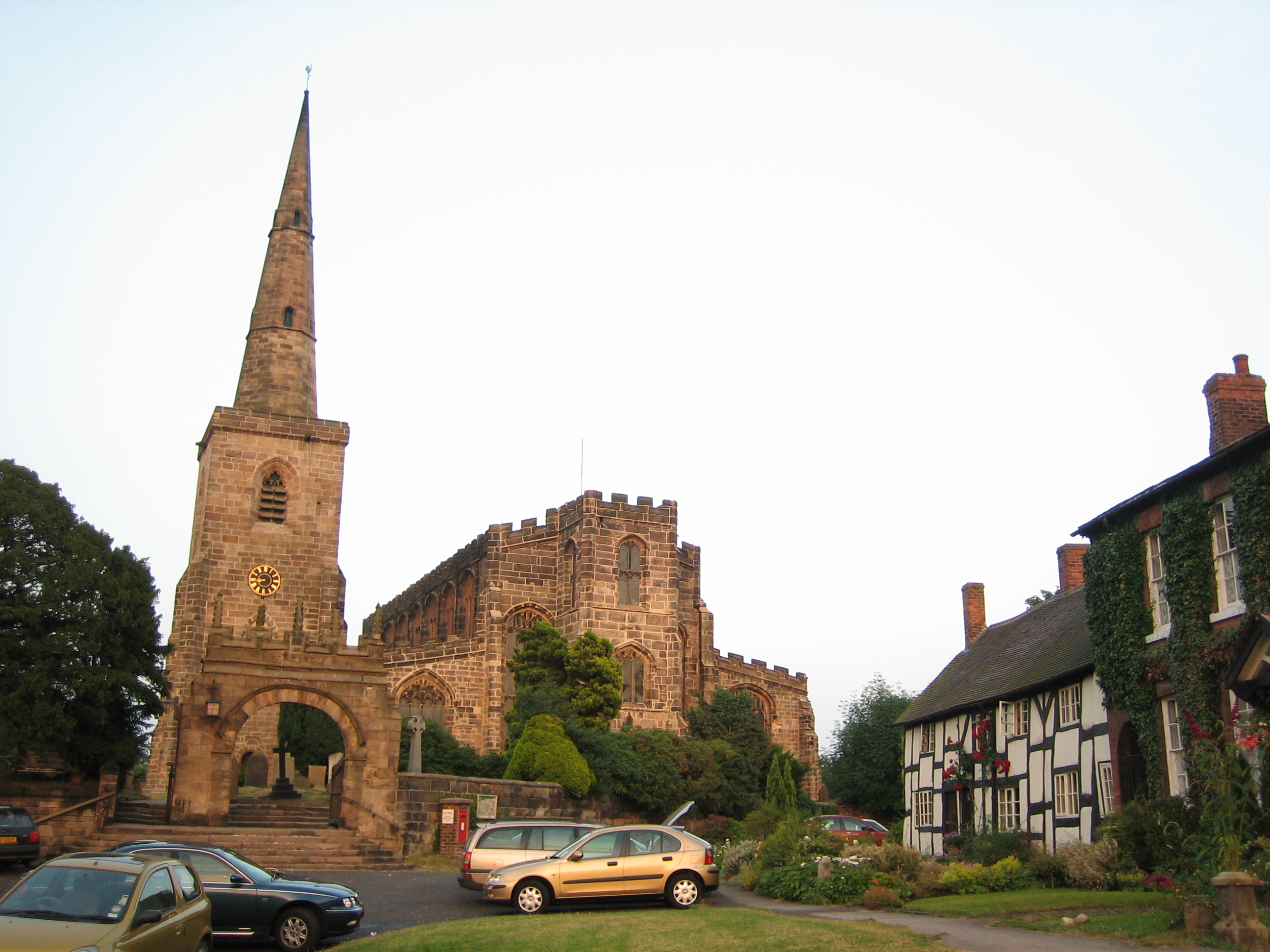
One of the most notable features of Astbury is its historic church, St. Mary's Church, which dates back to the 13th century. This Grade I listed building is renowned for its stunning architecture and attracts visitors from far and wide. The church is also an important part of the local community, hosting regular services and events.
Astbury is well-connected to nearby towns and cities, with good transport links to Congleton and other surrounding areas. The village is close to major road networks, including the A34 and A536, providing easy access for commuters and visitors.
In terms of amenities, Astbury has a primary school, a village hall, and a local pub, offering essential services to its residents. For additional facilities, the nearby town of Congleton provides a wider range of shops, supermarkets, and leisure activities.
Overall, Astbury is a quaint and idyllic village, perfect for those seeking a peaceful countryside retreat while still being within reach of larger towns and cities.
If you have any feedback on the listing, please let us know in the comments section below.
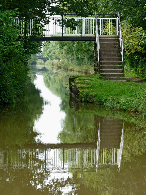
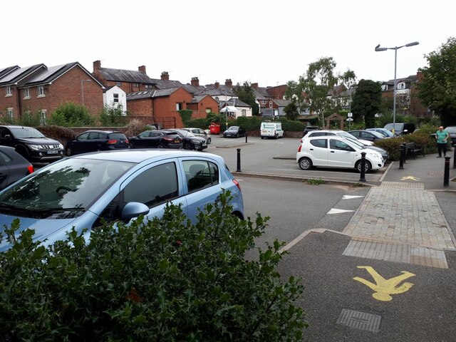
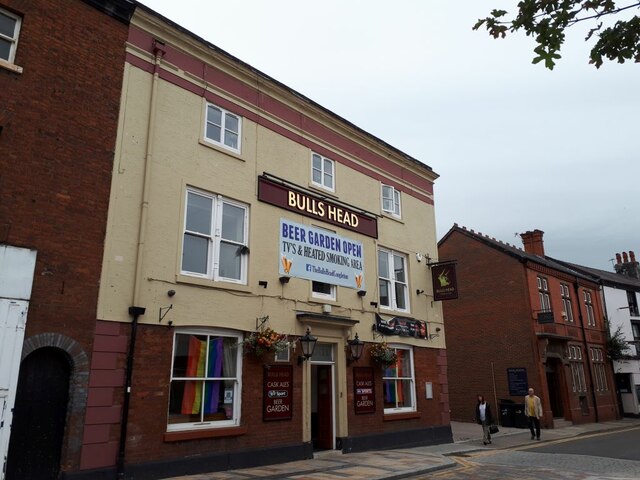
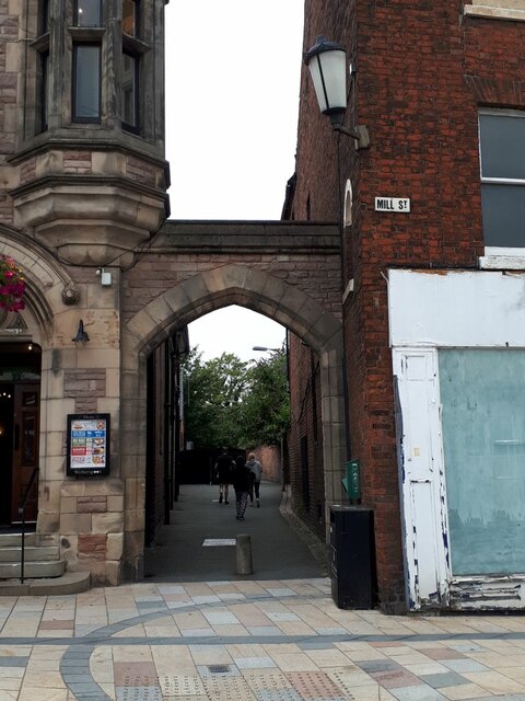
Astbury Images
Images are sourced within 2km of 53.151025/-2.232351 or Grid Reference SJ8461. Thanks to Geograph Open Source API. All images are credited.


Astbury is located at Grid Ref: SJ8461 (Lat: 53.151025, Lng: -2.232351)
Unitary Authority: Cheshire East
Police Authority: Cheshire
What 3 Words
///turns.feast.curving. Near Congleton, Cheshire
Nearby Locations
Related Wikis
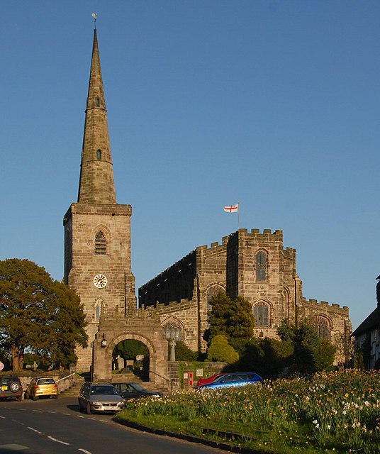
St Mary's Church, Astbury
St Mary's Church is an Anglican parish church in the village of Newbold Astbury, Cheshire, England. It is recorded in the National Heritage List for England...
Newbold Astbury
Newbold Astbury (often just Astbury) is a village and civil parish in the unitary authority of Cheshire East and the ceremonial county of Cheshire, in...

Astbury Mere
Astbury Mere is a lake and open area in West Heath, a suburb of Congleton, Cheshire, England, in an area formerly quarried for silica sand. Part of the...

West Heath, Cheshire
West Heath is a suburb to the west of Congleton, in Cheshire, England. It is the site of Astbury Mere Country Park. The West Heath area has three schools...
Congleton Town F.C.
Congleton Town Football Club is an association football club based in Congleton, Cheshire, England. They currently play in the Midland League Premier Division...
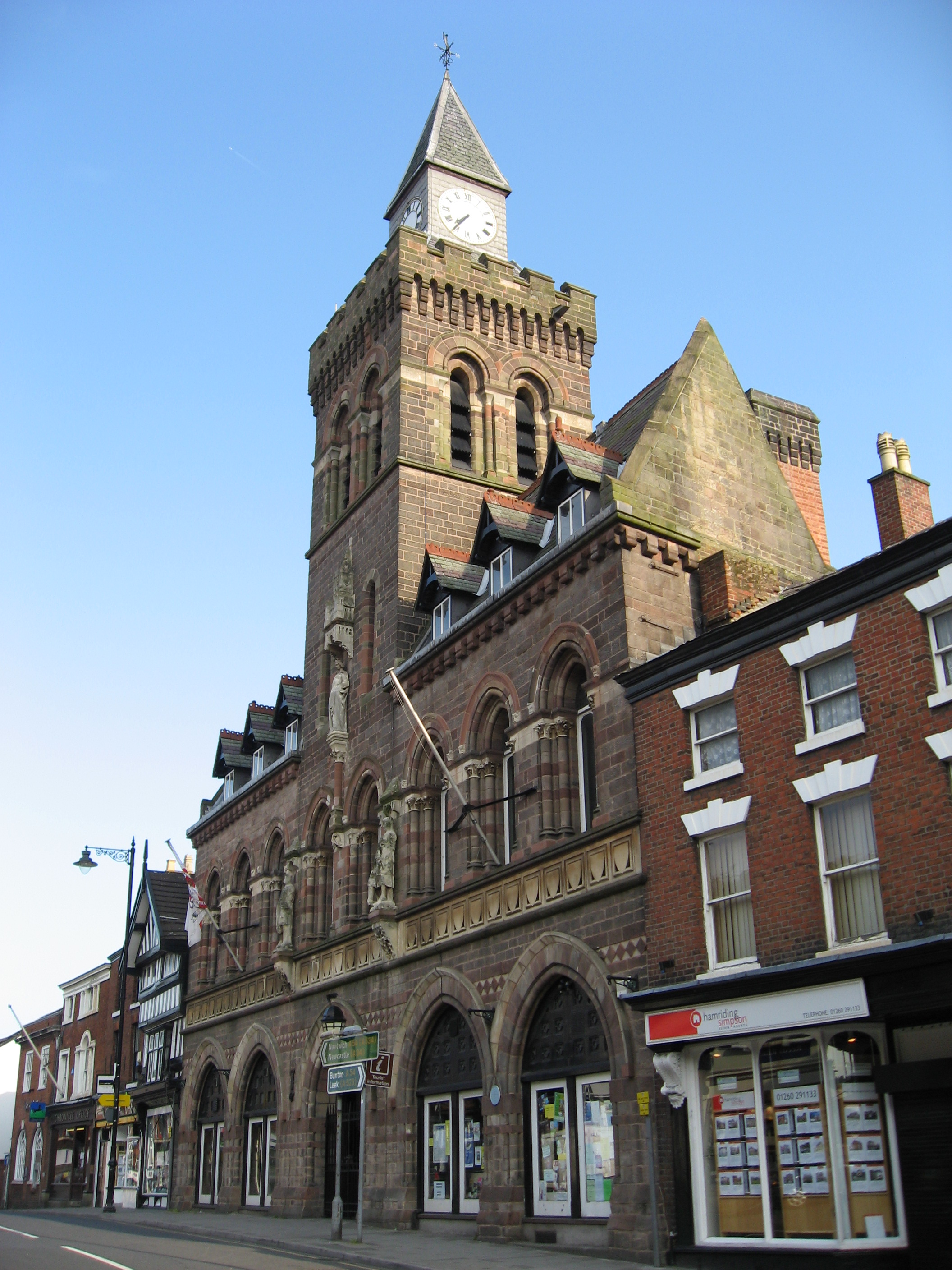
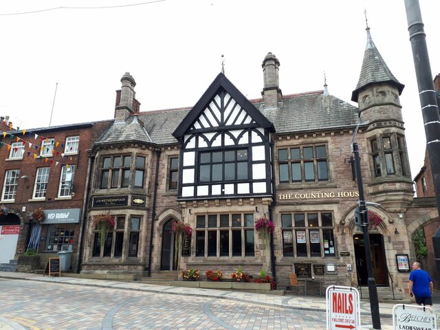
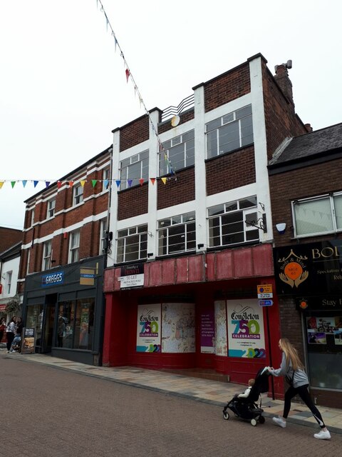
Congleton
Congleton is a market town and civil parish in the unitary authority of Cheshire East in Cheshire, England. The town is by the River Dane, 21 miles (34...

St Mary's Church, Congleton
St Mary's Church is in West Road, Congleton, Cheshire, England. It is a Roman Catholic church recorded in the National Heritage List for England as a...
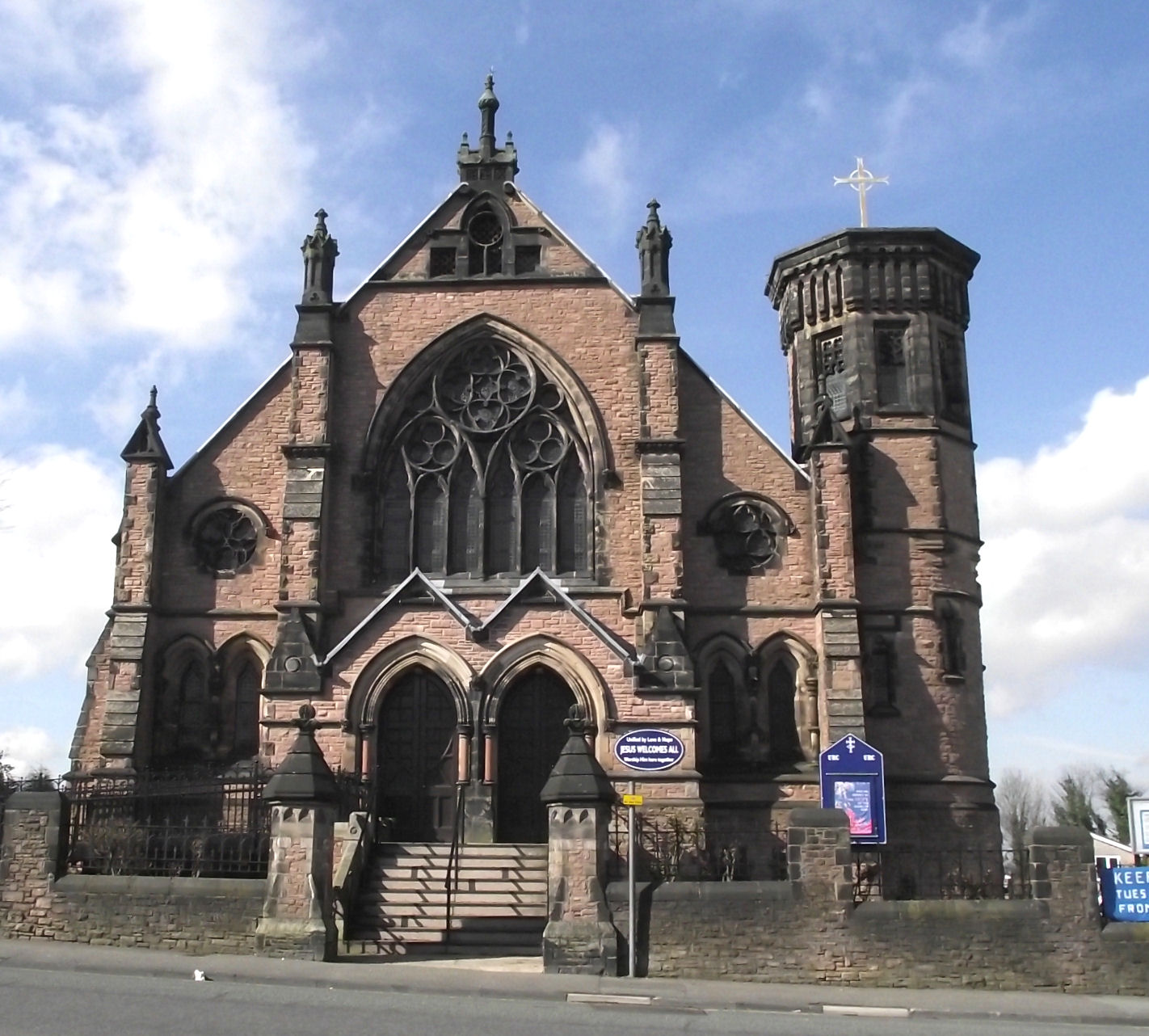
Congleton United Reformed Church
Congleton United Reformed Church is in Antrobus Street, Congleton, Cheshire, England. It is recorded in the National Heritage List for England as a designated...
Nearby Amenities
Located within 500m of 53.151025,-2.232351Have you been to Astbury?
Leave your review of Astbury below (or comments, questions and feedback).