Ennerdale Bridge
Settlement in Cumberland Copeland
England
Ennerdale Bridge

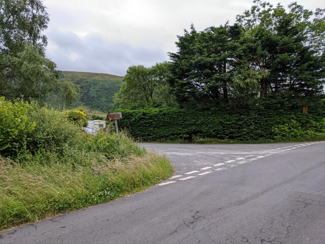
Ennerdale Bridge is a small village located in the county of Cumberland in northwest England. Situated in the picturesque Ennerdale Valley, it is nestled between the stunning Lake District National Park and the rugged beauty of the West Cumbrian coastline. The village is located around 7 miles west of the town of Cockermouth and is accessed via the B5345 road.
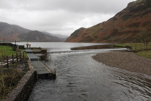
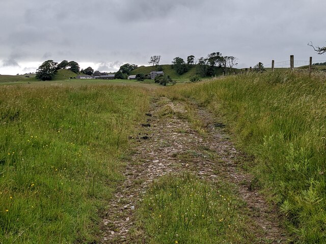
Ennerdale Bridge is known for its tranquil and unspoiled surroundings, making it a popular destination for outdoor enthusiasts and nature lovers. The village is surrounded by stunning landscapes, including the breathtaking Ennerdale Water, one of the most remote and undeveloped lakes in the Lake District. The area offers a variety of outdoor activities, such as hiking, mountain biking, and fishing.
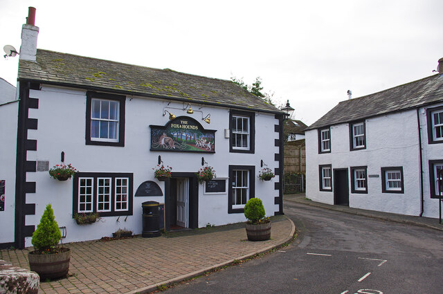
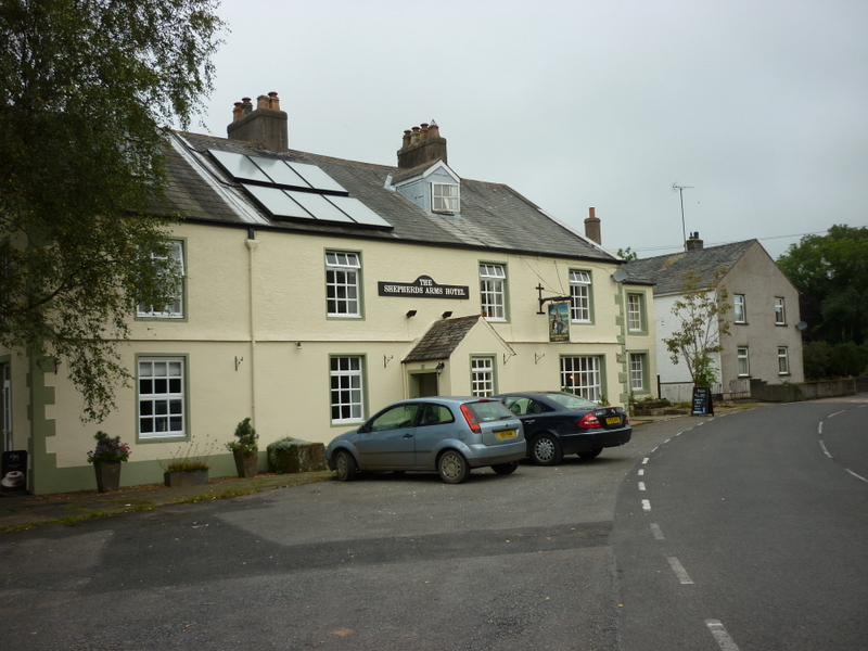
The village itself is a charming and close-knit community, with a small selection of amenities including a village shop, post office, and a traditional country pub. The village also boasts a picturesque church, St. Mary's, which dates back to the 12th century and showcases the area's rich history.
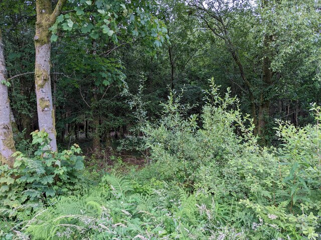
Ennerdale Bridge is a gateway to the spectacular Ennerdale Forest, a designated UNESCO World Heritage Site. This ancient woodland is renowned for its diverse wildlife and is a haven for birdwatchers and nature enthusiasts. The area is also home to the famous Coast to Coast Walk, a long-distance footpath that attracts walkers from all over the world.
Overall, Ennerdale Bridge offers a peaceful escape to nature, with its stunning surroundings and welcoming community making it a hidden gem within the beautiful county of Cumberland.
If you have any feedback on the listing, please let us know in the comments section below.
Ennerdale Bridge Images
Images are sourced within 2km of 54.529956/-3.435237 or Grid Reference NY0715. Thanks to Geograph Open Source API. All images are credited.


Ennerdale Bridge is located at Grid Ref: NY0715 (Lat: 54.529956, Lng: -3.435237)
Administrative County: Cumbria
District: Copeland
Police Authority: Cumbria
What 3 Words
///hatch.hungry.reclined. Near Frizington, Cumbria
Nearby Locations
Related Wikis
Ennerdale Bridge
Ennerdale Bridge is a hamlet in the county of Cumbria, England. It is in the civil parish of Ennerdale and Kinniside. It had a total population taken at...

Kirkland, Lamplugh
Kirkland is a small village near the A5086 road, in the Copeland district, in the English county of Cumbria. The nearest town is Cleator Moor. The Bible...
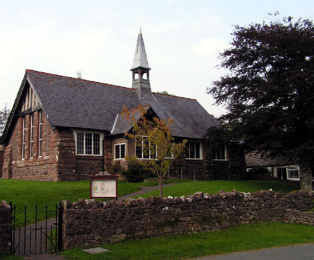
Kirkland Mission Church
Kirkland Mission Church is an Anglican church in Kirkland, in Cumbria in northern England. It falls within the deanery of Calder and the diocese of Carlisle...
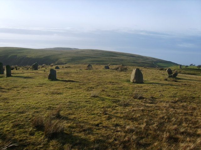
Kinniside Stone Circle
Kinniside Stone Circle (or Blakeley Raise Stone Circle) is a reconstructed stone circle in the civil parish of Ennerdale and Kinniside in Cumbria, England...
Nearby Amenities
Located within 500m of 54.529956,-3.435237Have you been to Ennerdale Bridge?
Leave your review of Ennerdale Bridge below (or comments, questions and feedback).