Bush Spring
Wood, Forest in Hertfordshire North Hertfordshire
England
Bush Spring

Bush Spring is a picturesque woodland located in Hertfordshire, England. Covering a vast area of approximately 100 acres, this natural gem is often referred to as a forest due to its dense tree cover and diverse vegetation. Situated in the southeastern part of the county, it forms part of the larger Hertfordshire woodland area.
The woodland is predominantly composed of broadleaf trees, including oak, beech, and ash, which provide a rich and varied habitat for numerous wildlife species. The forest floor is adorned with an array of wildflowers, ferns, and mosses, creating a stunning display of colors throughout the seasons. The dense canopy created by the trees allows only dappled sunlight to filter through, further enhancing the enchanting atmosphere of the woodland.
Bush Spring boasts a network of well-maintained footpaths and trails, making it an ideal destination for nature enthusiasts and outdoor lovers. Visitors can enjoy leisurely walks, jog, or cycle along the designated routes, immersing themselves in the tranquil surroundings. The forest is also a popular spot for birdwatching, with a diverse range of avian species inhabiting the area.
The management of Bush Spring is focused on preserving its natural beauty and biodiversity. Conservation efforts include regular tree maintenance, controlled burning of undergrowth, and the protection of rare and endangered species. This ensures that the woodland remains a haven for wildlife and a delightful retreat for visitors seeking solace in nature.
Overall, Bush Spring in Hertfordshire is a captivating woodlands, offering a serene escape from the hustle and bustle of everyday life. With its lush vegetation, diverse wildlife, and well-maintained trails, it is a sanctuary for nature enthusiasts and a testament to the natural beauty of the region.
If you have any feedback on the listing, please let us know in the comments section below.
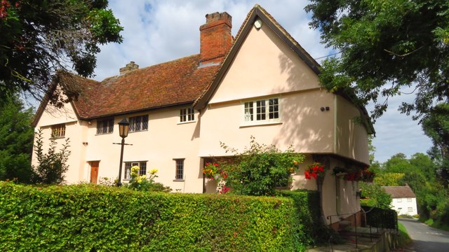
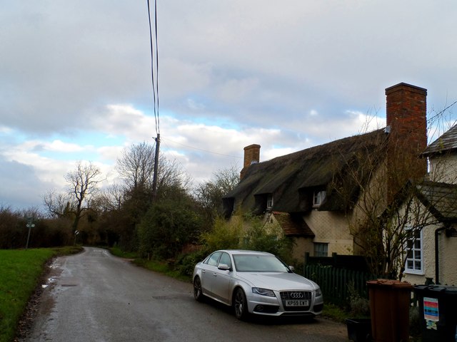
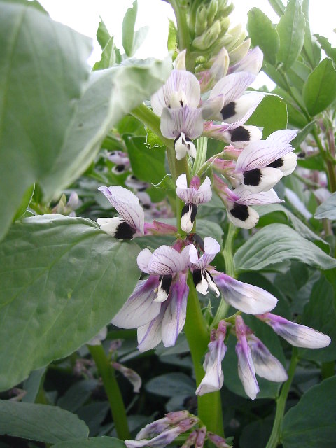
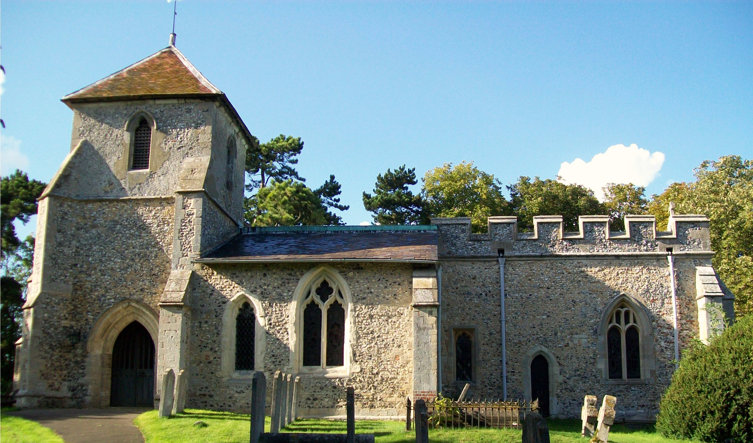
Bush Spring Images
Images are sourced within 2km of 51.977644/-0.13276046 or Grid Reference TL2832. Thanks to Geograph Open Source API. All images are credited.


Bush Spring is located at Grid Ref: TL2832 (Lat: 51.977644, Lng: -0.13276046)
Administrative County: Hertfordshire
District: North Hertfordshire
Police Authority: Hertfordshire
What 3 Words
///diets.testy.bangle. Near Baldock, Hertfordshire
Nearby Locations
Related Wikis

Wallington, Hertfordshire
Wallington is a small village and civil parish in the North Hertfordshire district, in the county of Hertfordshire, England, near the town of Baldock....
Clothall
Clothall is a village and civil parish in the county of Hertfordshire, England, with a population of 358. It is situated 2.25 miles (3.62 km) south-east...
Rushden, Hertfordshire
Rushden is a small village and civil parish which forms part of the grouped parish council of Rushden and Wallington in the North Hertfordshire district...
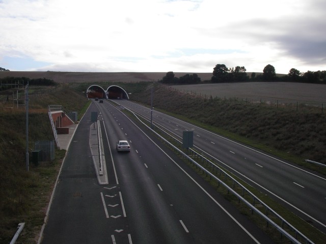
Weston Hills Tunnel
The Weston Hills Tunnel is a 230m twin road tunnel under the Weston Hills near Baldock in Hertfordshire. It was constructed as part of the A505 Baldock...
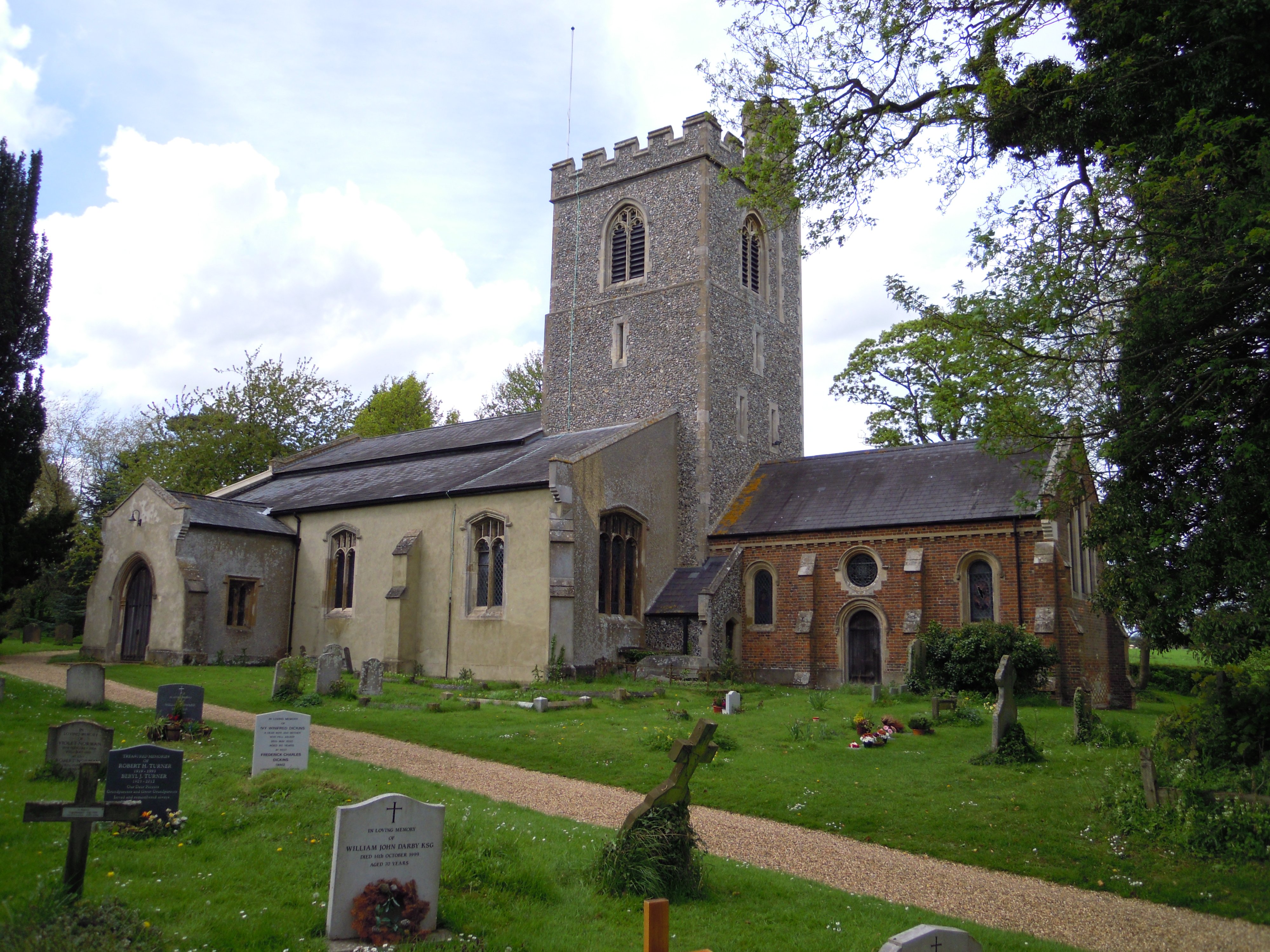
Holy Trinity Church, Weston
Holy Trinity Church is the parish church for the village of Weston in Hertfordshire. The church building stands to the south-east of the village on high...
Weston, Hertfordshire
Weston is a village and civil parish in the North Hertfordshire district of Hertfordshire, England. It is located around 4 miles north of Stevenage, 2...

Lannock Mill, Weston
Lannock Mill is a Grade II listed tower mill at Weston, Hertfordshire, England which is derelict. == History == Lannock Mill was built in 1860. A windmill...
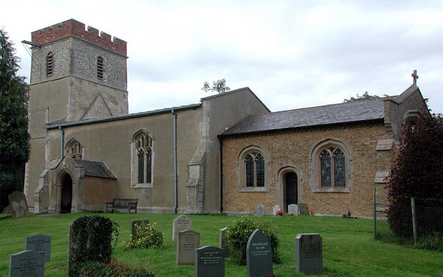
Church of St Margaret of Antioch, Bygrave
The Church of St Margaret of Antioch is the Anglican parish church for the village of Bygrave in Hertfordshire. Dedicated to St Margaret of Antioch, the...
Nearby Amenities
Located within 500m of 51.977644,-0.13276046Have you been to Bush Spring?
Leave your review of Bush Spring below (or comments, questions and feedback).