Beggars Park Plantation

Wood, Forest in Lincolnshire East Lindsey

England

Beggars Park Plantation

Lincolnshire Wolds Railway, North Thoresby: aerial 2023
Lincolnshire Wolds Railway, North Thoresby: aerial 2023 Credit: Chris

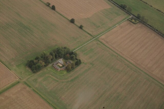
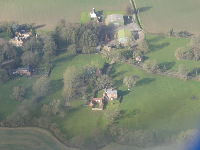
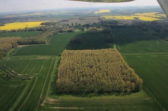
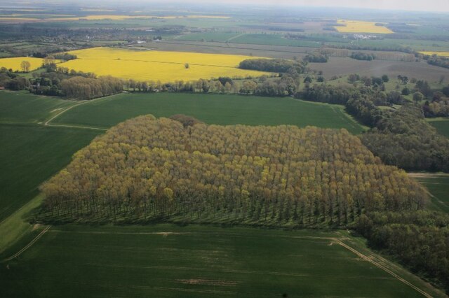
Beggars Park Plantation is a picturesque woodland located in Lincolnshire, England. Spread across a vast area, this plantation is a popular destination for nature enthusiasts, hikers, and birdwatchers alike. The woodland is characterized by its dense growth of mature trees, creating a serene and tranquil atmosphere.

The plantation boasts a diverse range of tree species, including oak, beech, birch, and pine, among others. These trees provide a rich habitat for various wildlife, making it an ideal spot for observing local fauna. Visitors can often spot squirrels, deer, and a variety of bird species such as woodpeckers, owls, and finches.

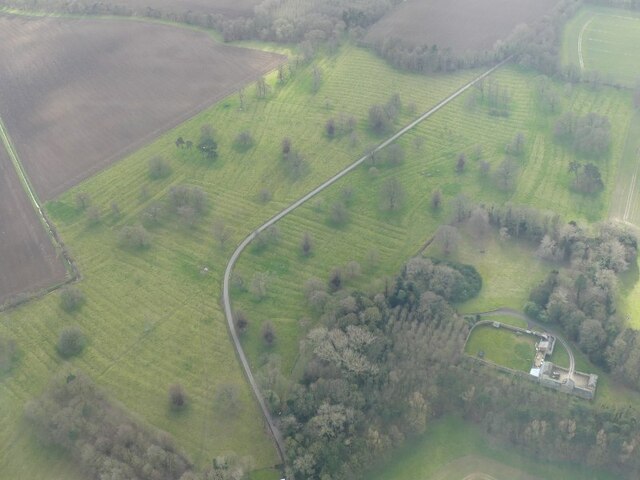
The woodland is crisscrossed with several well-maintained trails, offering visitors the opportunity to explore the plantation's natural beauty on foot. These trails wind through the dense trees, providing a peaceful and immersive experience in nature. Along the way, visitors can discover hidden clearings, babbling brooks, and occasional wildflowers, adding to the charm of the woodland.

Beggars Park Plantation is open year-round, with each season offering a unique experience. In spring, the woodland comes alive with vibrant green foliage, while autumn paints the trees in stunning shades of red, yellow, and orange. Winter brings a magical touch, with frost-covered branches and a peaceful hush that blankets the woodland.

Overall, Beggars Park Plantation is a haven for those seeking solace in nature. Its lush vegetation, diverse wildlife, and well-maintained trails make it a must-visit destination for anyone looking to immerse themselves in the beauty of Lincolnshire's woodlands.

If you have any feedback on the listing, please let us know in the comments section below.

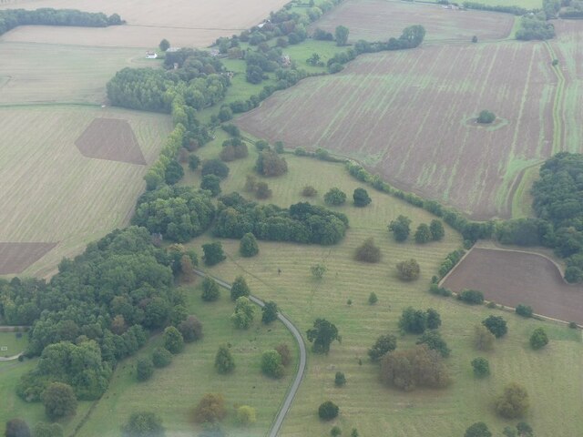
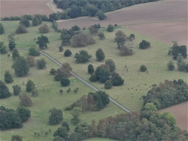
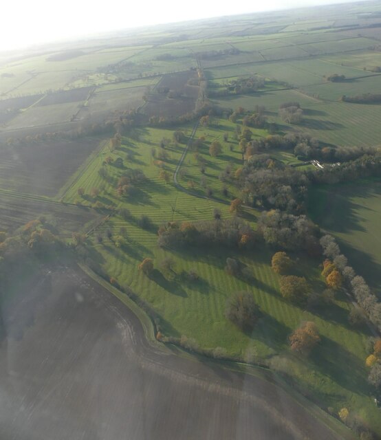
Beggars Park Plantation Images

Images are sourced within 2km of 53.47306/-0.067951791 or Grid Reference TF2899. Thanks to Geograph Open Source API. All images are credited.

Lincolnshire Wolds Railway, North Thoresby: aerial 2023
Westfield Farm, Hawerby: aerial 2021
Pond and wood south of North Thoresby: aerial 2022 (1)
Pond and wood south of North Thoresby: aerial 2022 (2)
Ridge and furrow, Grainsby Park: aerial 2022 See: <span class="nowrap"><a title="https://www.heritagegateway.org.uk/Gateway/Results_Single.aspx?uid=MLI41213&resourceID=1006" rel="nofollow ugc noopener" href="https://www.heritagegateway.org.uk/Gateway/Results_Single.aspx?uid=MLI41213&resourceID=1006">Link</a><img style="margin-left:2px;" alt="External link" title="External link - shift click to open in new window" src="https://s1.geograph.org.uk/img/external.png" width="10" height="10"/></span> and
<span class="nowrap"><a title="https://www.heritagegateway.org.uk/Gateway/Results_Single.aspx?uid=MLI41219&resourceID=1006" rel="nofollow ugc noopener" href="https://www.heritagegateway.org.uk/Gateway/Results_Single.aspx?uid=MLI41219&resourceID=1006">Link</a><img style="margin-left:2px;" alt="External link" title="External link - shift click to open in new window" src="https://s1.geograph.org.uk/img/external.png" width="10" height="10"/></span>
Ridge and furrow, Grainsby Park: aerial 2022
See: LinkExternal link and LinkExternal link
Pond and wood south of North Thoresby: aerial 2022 (3)
Grainsby Church and Manor Farm: aerial 2022
Fenby Wood: aerial 2022
Wood north of Grainsby: aerial 2022
Industry at Autby, North Thoresby: aerial 2022
Direction Sign – Signpost on the B1201 at North Thoresby Located on the west side of the junction of the B1201 Station Road, High Street and Ludborough Road, in North Thoresby parish. 3 arms but no finial.

Milestone Society National ID: LI_TF2998
Direction Sign – Signpost on the B1201 at North Thoresby
Located on the west side of the junction of the B1201 Station Road, High Street and Ludborough Road, in North Thoresby parish. 3 arms but no finial. Milestone Society National ID: LI_TF2998
Grainsby Park: aerial 2022 See: <span class="nowrap"><a title="https://www.heritagegateway.org.uk/Gateway/Results_Single.aspx?uid=MLI41219&resourceID=1006" rel="nofollow ugc noopener" href="https://www.heritagegateway.org.uk/Gateway/Results_Single.aspx?uid=MLI41219&resourceID=1006">Link</a><img style="margin-left:2px;" alt="External link" title="External link - shift click to open in new window" src="https://s1.geograph.org.uk/img/external.png" width="10" height="10"/></span>
Grainsby Park: aerial 2022
See: LinkExternal link
North Thoresby: aerial 2022 (3)
Grainsby: aerial 2022 (1)
Grainsby: aerial 2022 (2)
Fields south of Grainsby Park: aerial 2022
Field south of White Road, North Thoresby: aerial 2022
Grainsby: aerial 2023 See: <span class="nowrap"><a title="https://www.heritagegateway.org.uk/Gateway/Results_Single.aspx?uid=MLI41219&resourceID=1006," rel="nofollow ugc noopener" href="https://www.heritagegateway.org.uk/Gateway/Results_Single.aspx?uid=MLI41219&resourceID=1006,">Link</a><img style="margin-left:2px;" alt="External link" title="External link - shift click to open in new window" src="https://s1.geograph.org.uk/img/external.png" width="10" height="10"/></span>
<span class="nowrap"><a title="https://www.heritagegateway.org.uk/Gateway/Results_Single.aspx?uid=MLI43495&resourceID=1006" rel="nofollow ugc noopener" href="https://www.heritagegateway.org.uk/Gateway/Results_Single.aspx?uid=MLI43495&resourceID=1006">Link</a><img style="margin-left:2px;" alt="External link" title="External link - shift click to open in new window" src="https://s1.geograph.org.uk/img/external.png" width="10" height="10"/></span> and
<span class="nowrap"><a title="https://www.heritagegateway.org.uk/Gateway/Results_Single.aspx?uid=MLI41213&resourceID=1006" rel="nofollow ugc noopener" href="https://www.heritagegateway.org.uk/Gateway/Results_Single.aspx?uid=MLI41213&resourceID=1006">Link</a><img style="margin-left:2px;" alt="External link" title="External link - shift click to open in new window" src="https://s1.geograph.org.uk/img/external.png" width="10" height="10"/></span>
Grainsby: aerial 2023
See: LinkExternal link LinkExternal link and LinkExternal link
Show me another place!

Beggars Park Plantation is located at Grid Ref: TF2899 (Lat: 53.47306, Lng: -0.067951791)

Administrative County: Lincolnshire

District: East Lindsey

Police Authority: Lincolnshire

What 3 Words

///competent.crackled.colonies. Near North Thoresby, Lincolnshire

Related Wikis

Grainsby

Grainsby is a hamlet and civil parish in the East Lindsey district of Lincolnshire, England. It is situated 5 miles (8 km) south from Grimsby, and just...

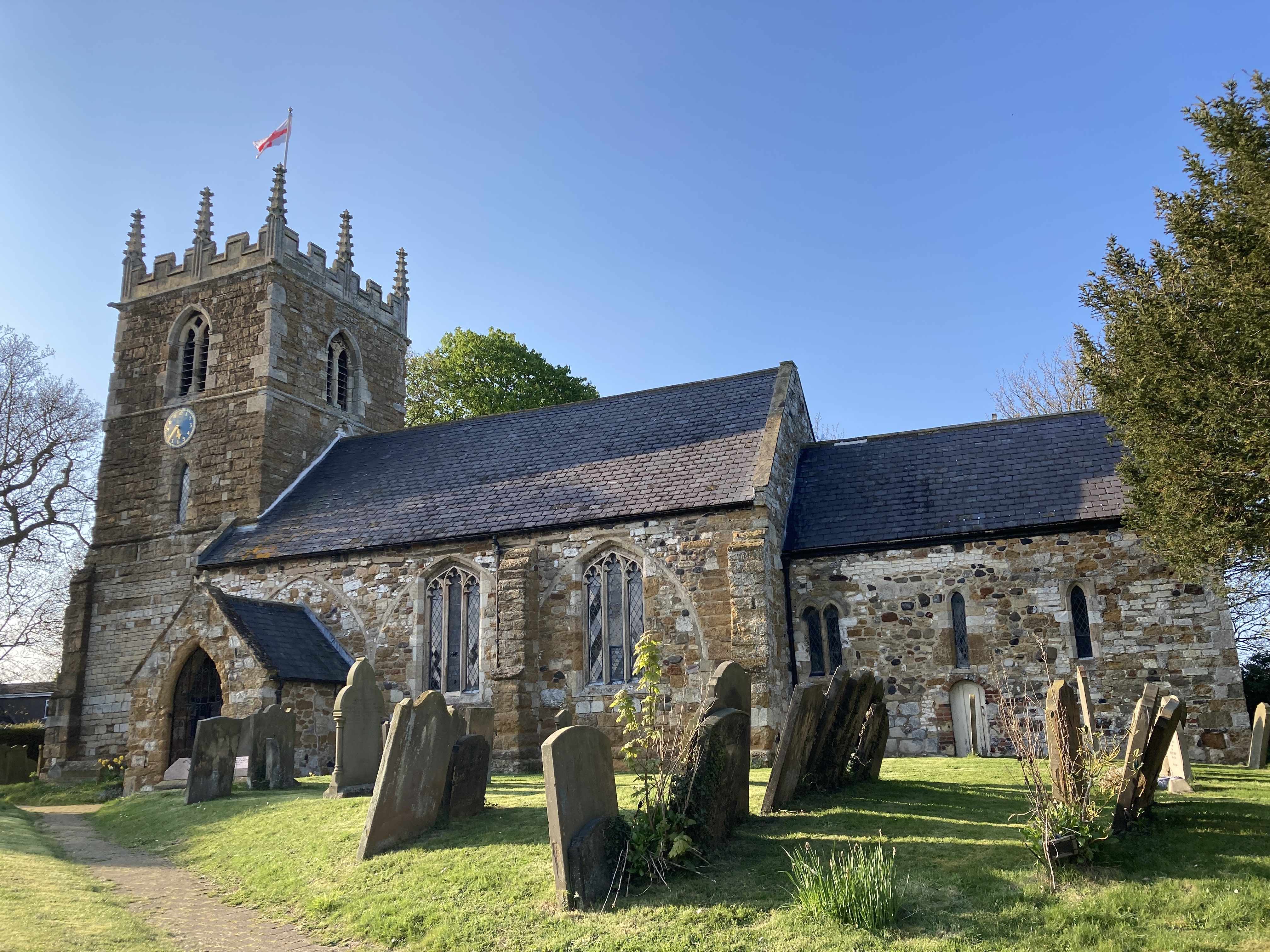
St Helen's Church, North Thoresby

St Helen's Church is the Anglican parish church in the village of North Thoresby in Lincolnshire, England. Built of squared limestone rubble, chalk and...

North Thoresby

North Thoresby is a village and civil parish in the East Lindsey district of Lincolnshire, England. It is situated between Louth and Grimsby, approximately...

Waithe

Waithe (or Waythe) is a hamlet and civil parish in the East Lindsey district of Lincolnshire, England. It is on the A16, 1 mile (1.6 km) south from Holton...

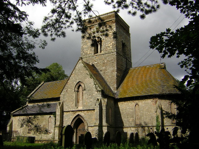
St Martin's Church, Waithe

St Martin's Church is a redundant Anglican church in the village of Waithe, Lincolnshire, England. It is recorded in the National Heritage List for England...

Grainsby Halt railway station

Grainsby Halt was a railway halt on the East Lincolnshire Railway which served the hamlet of Grainsby in Lincolnshire between 1905 and 1952. The station...

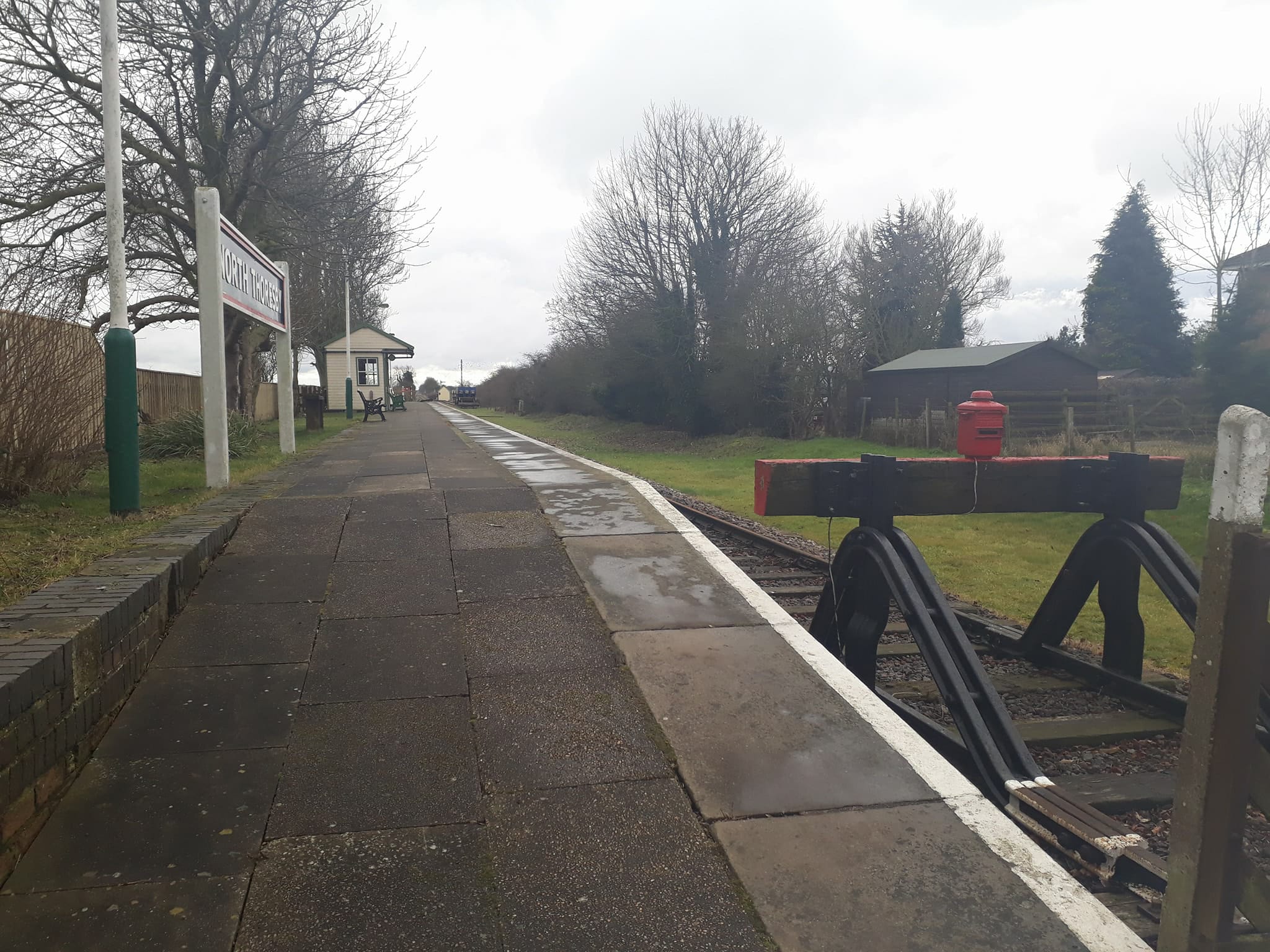
North Thoresby railway station

North Thoresby is a heritage railway station in North Thoresby, Lincolnshire. The station, which was previously part of the East Lincolnshire Railway,...

Holton-le-Clay railway station

Holton-le-Clay was a railway station on the East Lincolnshire Railway which served the English villages of Holton-le-Clay and Tetney in Lincolnshire between...

Nearby Amenities

Located within 500m of 53.47306,-0.067951791
Bus Stop
Grainsby Lane Crossroads
Naptan AtcoCode: 2700LGC01738
Naptan Bearing: S
Naptan CommonName: Grainsby Lane Crossroads
Naptan Indicator: Southbound
Naptan Landmark: Grainsby Lane Crossroads
Naptan NaptanCode: linamjtj
Naptan Street: A16
Naptan Verified: no
Source: naptan_import
Lat/Long: 53.4768279/-0.066378
Note: National speed limit sign northbound, 50 mph speed limit sign southbound
Lat/Long: 53.4707779/-0.0654933
Grainsby Bridge
Place: locality
Source: Bing
Lat/Long: 53.4732162/-0.0664033
Thorbeck
Place: isolated_dwelling
Lat/Long: 53.4692041/-0.0662211
The data included in this document is from www.openstreetmap.org. The data is made available under ODbL.

Have you been to Beggars Park Plantation?

Leave your review of Beggars Park Plantation below (or comments, questions and feedback).