Huntsgreen Wood
Wood, Forest in Surrey Crawley
England
Huntsgreen Wood
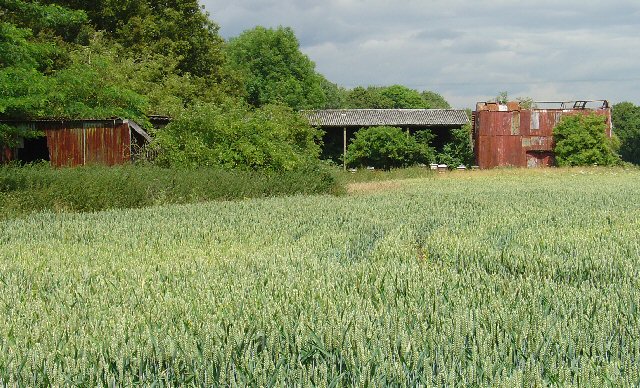
Huntsgreen Wood is a picturesque woodland located in the county of Surrey, England. Covering an area of approximately 100 acres, the wood is known for its natural beauty and diverse range of flora and fauna. It is situated near the village of Ockley, just a few miles away from the bustling town of Dorking.
The wood is predominantly made up of broad-leaved trees, such as oak, beech, and ash, which create a dense canopy that provides shelter for a variety of wildlife. Visitors to Huntsgreen Wood can expect to see an array of bird species, including woodpeckers, owls, and songbirds, as well as small mammals like rabbits, squirrels, and foxes.
Walking through the wood, visitors will be greeted by a network of well-maintained footpaths that wind their way through the trees, allowing for peaceful strolls and nature walks. The wood is a popular destination for outdoor enthusiasts, providing opportunities for birdwatching, photography, and simply enjoying the tranquility of the natural surroundings.
Additionally, Huntsgreen Wood is home to a number of historical features, including remnants of ancient woodland management, such as coppicing and charcoal production. These remnants serve as a reminder of the wood's long history and its importance in the local community.
Overall, Huntsgreen Wood is a beautiful woodland retreat that offers visitors a chance to immerse themselves in nature and experience the serene beauty of Surrey's countryside.
If you have any feedback on the listing, please let us know in the comments section below.
Huntsgreen Wood Images
Images are sourced within 2km of 51.144868/-0.16722217 or Grid Reference TQ2839. Thanks to Geograph Open Source API. All images are credited.


Huntsgreen Wood is located at Grid Ref: TQ2839 (Lat: 51.144868, Lng: -0.16722217)
Administrative County: West Sussex
District: Crawley
Police Authority: Sussex
What 3 Words
///moving.entertainer.tidy. Near Langley Green, West Sussex
Nearby Locations
Related Wikis

Beehive, Gatwick Airport
The Beehive is the original terminal building at Gatwick Airport, England. Opened in 1936, it became obsolete in the 1950s as the airport expanded. In...

City Place Gatwick
City Place Gatwick is an office complex located on the property of London Gatwick Airport in Crawley, West Sussex, England. The complex includes four buildings...
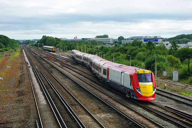
Gatwick Airport Up sidings
Gatwick Airport Up sidings are located near London Gatwick Airport, Crawley, England, situated on the Brighton Main Line south of Gatwick Airport station...

Tinsley House Immigration Removal Centre
Tinsley House is a United Kingdom Immigration Removal Centre (IRC), where individuals are held while awaiting decisions on their asylum claim or considered...
The Gatwick School
The Gatwick School is an all-through free school located on the Manor Royal estate, on the northern outskirts of Crawley, just south of the Gatwick Airport...

Lowfield Heath
Lowfield Heath is a former village within the boundaries of the Borough of Crawley, West Sussex, England. Situated on the main London to Brighton road...
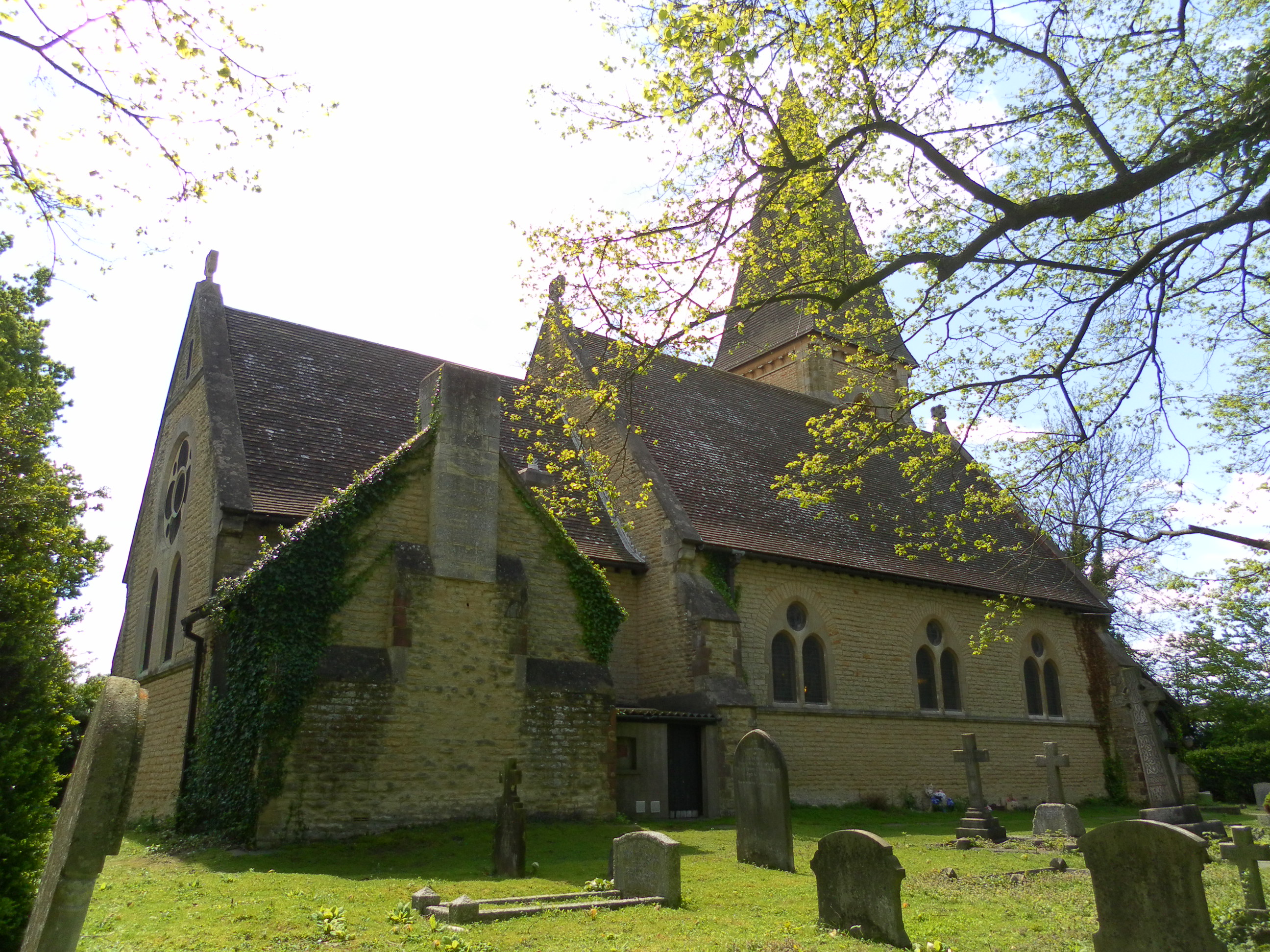
St Michael and All Angels Church, Lowfield Heath
St Michael and All Angels Church is a church in Lowfield Heath, a depopulated former village in the Borough of Crawley, West Sussex, England. Built by...

Tinsley Green, West Sussex
Tinsley Green is an area in the Borough of Crawley, one of seven local government districts in the English county of West Sussex. Originally a hamlet...
Nearby Amenities
Located within 500m of 51.144868,-0.16722217Have you been to Huntsgreen Wood?
Leave your review of Huntsgreen Wood below (or comments, questions and feedback).