Coldharbour Plantation
Wood, Forest in Hertfordshire Welwyn Hatfield
England
Coldharbour Plantation
Coldharbour Plantation is a sprawling woodland located in Hertfordshire, England. Covering a vast area of approximately 500 acres, it is known for its picturesque beauty and diverse ecosystem. The plantation is situated in close proximity to the charming town of Wood and is easily accessible by both road and foot.
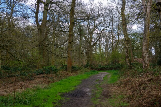
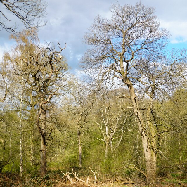
The woodland is primarily composed of a variety of tree species, including oak, beech, ash, and pine, which create a dense canopy above. This creates a cool and serene atmosphere, making it a popular destination for nature lovers, hikers, and birdwatchers. The forest floor is adorned with a rich carpet of wildflowers, ferns, and mosses, adding to the enchanting ambiance.
Coldharbour Plantation is home to a wide range of wildlife, including mammals such as deer, foxes, and badgers. Numerous bird species, including woodpeckers, owls, and thrushes, can also be found here. The woodland provides a vital habitat for these creatures, offering food, shelter, and protection.
The plantation offers several well-marked trails for visitors to explore, allowing them to immerse themselves in the natural beauty of the area. These trails wind through the woodland, providing glimpses of stunning vistas, babbling brooks, and serene ponds.
Coldharbour Plantation is not only a haven for nature enthusiasts but also serves as an important contributor to the local ecosystem. It plays a crucial role in oxygen production, carbon sequestration, and soil erosion prevention, making it a vital asset in the fight against climate change.
Overall, Coldharbour Plantation is a remarkable woodland that showcases the beauty of nature, providing a peaceful retreat for visitors while supporting the local ecosystem.
If you have any feedback on the listing, please let us know in the comments section below.
Coldharbour Plantation Images
Images are sourced within 2km of 51.728426/-0.14558248 or Grid Reference TL2804. Thanks to Geograph Open Source API. All images are credited.


Coldharbour Plantation is located at Grid Ref: TL2804 (Lat: 51.728426, Lng: -0.14558248)
Administrative County: Hertfordshire
District: Welwyn Hatfield
Police Authority: Hertfordshire
What 3 Words
///tested.later.toward. Near Cuffley, Hertfordshire
Nearby Locations
Related Wikis

Northaw Great Wood
Northaw Great Wood is a 223.6-hectare (553-acre) biological Site of Special Scientific Interest (SSSI) near Cuffley in Hertfordshire, England. It covers...

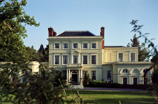
Tolmers Park
Tolmers Park is a manor house in Newgate Street Village near Hatfield in Hertfordshire, England. == Early history == The early history of the manor is...
Newgate Street, Hertfordshire
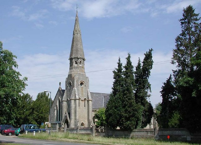
Newgate Street is a village near Cuffley, in Hatfield civil parish, in the Welwyn Hatfield district of Hertfordshire, England. It is approximately six...

Queenswood School
Queenswood School is a girls-only independent school located near Hatfield, Hertfordshire, twenty miles from London. It offers admission at ages 11, 13...
Rhodes Wood Hospital
Rhodes Wood Hospital is a specialist hospital for children and young people with eating disorders. It is based in the grade II listed former Mymwood School...
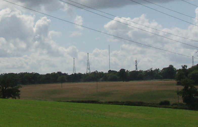
Brookmans Park transmitting station
The Brookmans Park transmitting station is a facility for medium wave (MW) broadcasting at Brookmans Park, Hertfordshire, north of London (grid reference...
Chancellor's School
Chancellor's School is a coeducational secondary school and sixth form located in Brookmans Park, Hertfordshire, England. == History == The school opened...
Northaw Place
Northaw Place is a Grade II* listed former mansion house, later a school and children's home, in Northaw and Cuffley, Hertfordshire, England. Northaw Place...
Nearby Amenities
Located within 500m of 51.728426,-0.14558248Have you been to Coldharbour Plantation?
Leave your review of Coldharbour Plantation below (or comments, questions and feedback).