Barn Plantation

Wood, Forest in Lincolnshire East Lindsey

England

Barn Plantation

Direction Sign – Signpost on Horncastle Road in Wood Enderby parish Located on the southeast side of the crossroads of Wood Enderby Lane and Horncastle Road in Wood Enderby parish. 4 arms and no finial.

Milestone Society National ID: LI_TF2763
Direction Sign – Signpost on Horncastle Road in Wood Enderby parish Credit: A Riley

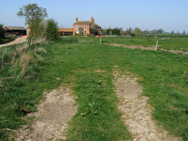
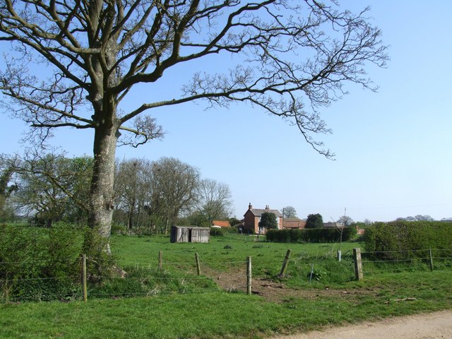
Barn Plantation, located in Lincolnshire, is a picturesque woodland area known for its natural beauty and tranquil surroundings. Situated in the heart of the county, this plantation is a haven for nature enthusiasts and outdoor adventurers alike.

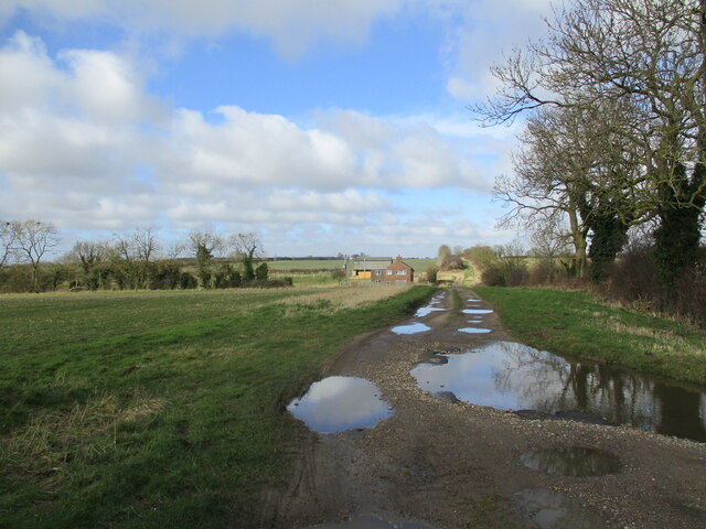
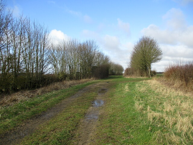
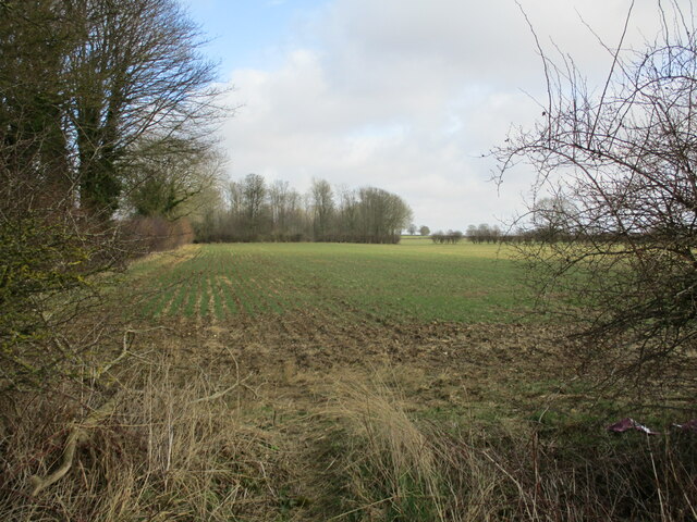
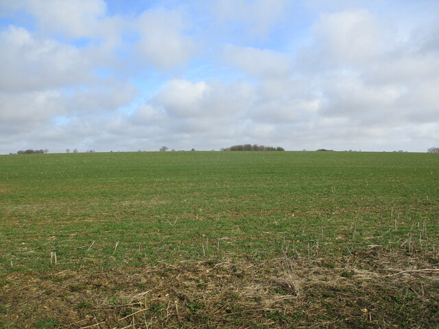
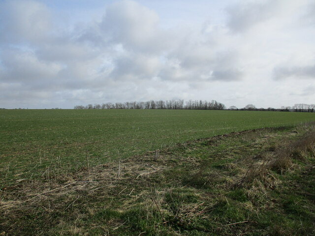
Covering an expansive area of lush greenery, Barn Plantation is home to a diverse range of plant and animal species. The woodland is predominantly composed of various types of trees, including oak, beech, and birch, creating a dense and enchanting forest canopy. The plantation also features several clearings and meadows, providing ample space for picnicking, birdwatching, or simply enjoying the peaceful ambiance.

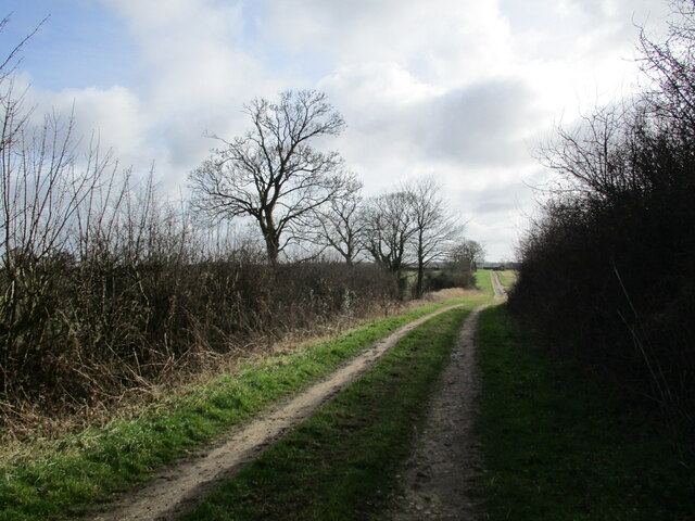
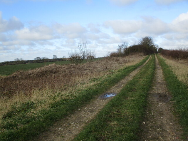
Barn Plantation offers a network of well-maintained walking trails, allowing visitors to explore its natural wonders at their own pace. These trails wind through the woodland, offering glimpses of local wildlife, such as deer, squirrels, and a variety of bird species. The plantation is especially popular during the spring and summer months, when the forest floor comes alive with vibrant wildflowers, including bluebells and primroses.

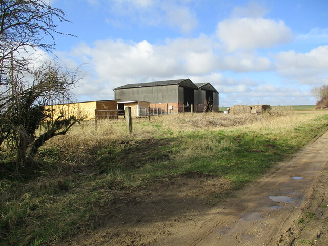
Aside from its natural beauty, Barn Plantation also holds historical significance. The area was once a part of a larger estate and has been carefully preserved over the years. Visitors can still find remnants of old stone walls and the remains of a barn, serving as a reminder of the plantation's past.

Overall, Barn Plantation in Lincolnshire is a must-visit destination for those seeking a peaceful retreat in nature. With its diverse flora and fauna, well-maintained trails, and fascinating history, this woodland area offers a unique and immersive experience for all who venture within its bounds.

If you have any feedback on the listing, please let us know in the comments section below.

Barn Plantation Images

Images are sourced within 2km of 53.170242/-0.084441772 or Grid Reference TF2865. Thanks to Geograph Open Source API. All images are credited.

Direction Sign – Signpost on Horncastle Road in Wood Enderby parish Located on the southeast side of the crossroads of Wood Enderby Lane and Horncastle Road in Wood Enderby parish. 4 arms and no finial.

Milestone Society National ID: LI_TF2763
Direction Sign – Signpost on Horncastle Road in Wood Enderby parish
Located on the southeast side of the crossroads of Wood Enderby Lane and Horncastle Road in Wood Enderby parish. 4 arms and no finial. Milestone Society National ID: LI_TF2763
Direction Sign – Signpost north of Wilksby in Wood Enderby parish Located on the southeast side of the T junction at the church between Wood Enderby and Moorby in Wood Enderby parish. 3 arms and no finial. See also <a title="https://www.geograph.org.uk/photo/6659326" href="https://www.geograph.org.uk/photo/6659326">Link</a>.

Milestone Society National ID: LI_TF2863
Direction Sign – Signpost north of Wilksby in Wood Enderby parish
Located on the southeast side of the T junction at the church between Wood Enderby and Moorby in Wood Enderby parish. 3 arms and no finial. See also Link. Milestone Society National ID: LI_TF2863
Scrivelsby Park: aerial 2022 (1)
Scrivelsby Park: aerial 2022 (2)
All Saints' church, Wilksby from the east Dates from about 1791 and built on a medieval site <span class="nowrap"><a title="https://historicengland.org.uk/listing/the-list/list-entry/1287679?section=official-list-entry" rel="nofollow ugc noopener" href="https://historicengland.org.uk/listing/the-list/list-entry/1287679?section=official-list-entry">Link</a><img style="margin-left:2px;" alt="External link" title="External link - shift click to open in new window" src="https://s1.geograph.org.uk/img/external.png" width="10" height="10"/></span>
All Saints' church, Wilksby from the east
Dates from about 1791 and built on a medieval site LinkExternal link
Holme Wood Lane A bridleway.
Brookside House on the left of the lane.
Holme Wood Lane
A bridleway. Brookside House on the left of the lane.
Holme Wood Lane A bridleway.
Holme Wood Lane
A bridleway.
All Saints' church, Wilksby Dates from about 1791 and built on a medieval base <span class="nowrap"><a title="https://historicengland.org.uk/listing/the-list/list-entry/1287679?section=official-list-entry" rel="nofollow ugc noopener" href="https://historicengland.org.uk/listing/the-list/list-entry/1287679?section=official-list-entry">Link</a><img style="margin-left:2px;" alt="External link" title="External link - shift click to open in new window" src="https://s1.geograph.org.uk/img/external.png" width="10" height="10"/></span>
All Saints' church, Wilksby
Dates from about 1791 and built on a medieval base LinkExternal link
Diamond Jubilee Wood, Wilksby
The view from Wilksby churchyard Looking slightly north of east.
The view from Wilksby churchyard
Looking slightly north of east.
Road junction and church, Wilksby
Farm buildings off Holme Wood Lane
Holme Wood Lane A bridleway.
Holme Wood Lane
A bridleway.
Autumn sown crop and Larch Plantation
Holme Wood Lane A bridleway.
Holme Wood Lane
A bridleway.
Autumn sown crop near Claxby Pluckacre The Rookery just showing above the horizon.
Autumn sown crop near Claxby Pluckacre
The Rookery just showing above the horizon.
Autumn sown crop and Larch Plantation
The Lion Gateway With the Lion Lodge through the arch at Scrivelsby Manor, the holder of the Manor being the King's Champion
The Lion Gateway
With the Lion Lodge through the arch at Scrivelsby Manor, the holder of the Manor being the King's Champion
Show me another place!

Barn Plantation is located at Grid Ref: TF2865 (Lat: 53.170242, Lng: -0.084441772)

Administrative County: Lincolnshire

District: East Lindsey

Police Authority: Lincolnshire

What 3 Words

///cackling.decency.novelist. Near Horncastle, Lincolnshire

Related Wikis

Scrivelsby

Scrivelsby is a village and ecclesiastical parish in the East Lindsey district of the County of Lincolnshire, England. It is situated 2 miles (3.2 km...

Wood Enderby

Wood Enderby is a village and civil parish in the East Lindsey district of Lincolnshire, England. It is situated approximately 4 miles (6 km) south from...

Moorby

Moorby is a small village and former civil parish, now in the parish of Claxby with Moorby, in the East Lindsey district of Lincolnshire, England. The...

Wilksby

Wilksby is a hamlet in the civil parish of Wood Enderby, in the East Lindsey district of Lincolnshire. A former civil parish in itself, it was merged with...

Claxby Pluckacre

Claxby Pluckacre is a hamlet in the East Lindsey district of Lincolnshire, England. It is situated approximately 5 miles (8.0 km) south-east from the town...

Mareham on the Hill

Mareham on the Hill is a village and civil parish about 2.5 miles (4.0 km) south-east from the town of Horncastle, Lincolnshire, England. Mareham on the...

Haltham Wood

Haltham Wood is a woodland in the parish of Haltham in the East Lindsey district of Lincolnshire, England. == References ==

Dalderby

Dalderby is a village and former civil parish, now in the parish of Roughton, in the East Lindsey district of Lincolnshire, England. It is situated approximately...

Nearby Amenities

Located within 500m of 53.170242,-0.084441772
The data included in this document is from www.openstreetmap.org. The data is made available under ODbL.

Have you been to Barn Plantation?

Leave your review of Barn Plantation below (or comments, questions and feedback).