Backhouse Wood

Wood, Forest in Hertfordshire Welwyn Hatfield

England

Backhouse Wood

Cucumber Lane, Essendon At the junction of Berkhamsted Lane
Cucumber Lane, Essendon Credit: David Howard

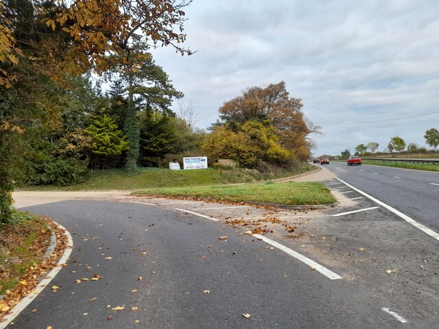
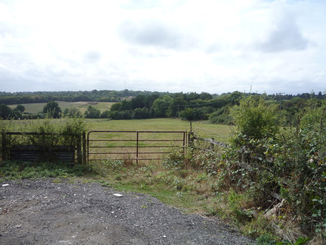
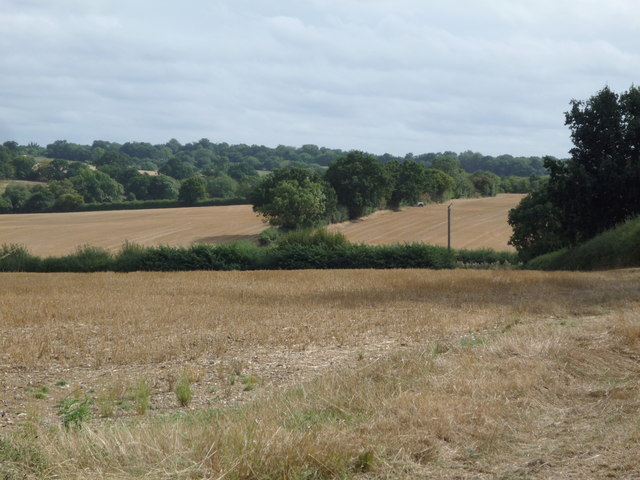
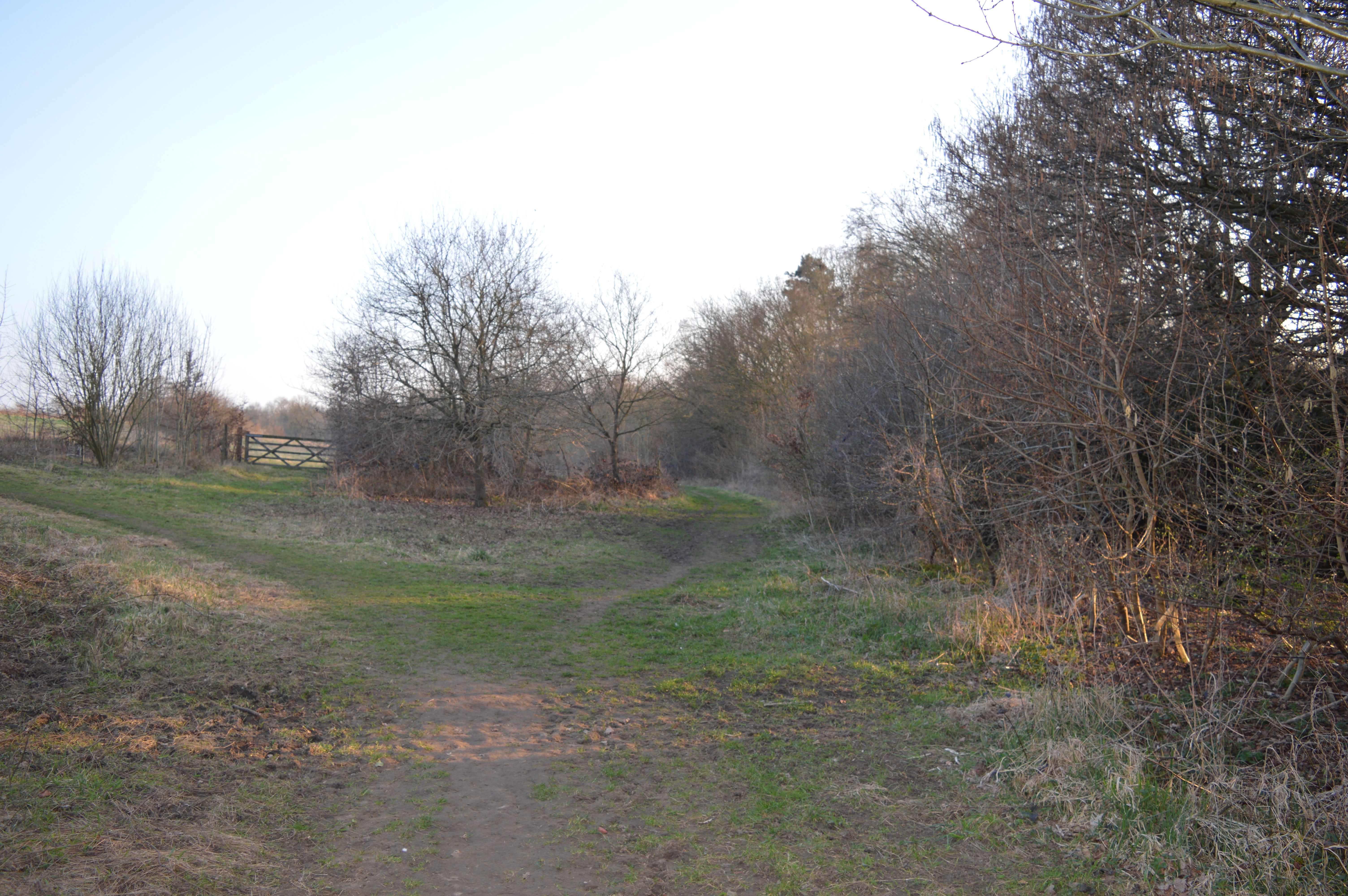
Backhouse Wood is a charming woodland located in the county of Hertfordshire, England. Covering an area of approximately 50 acres, this forested area is a haven for nature enthusiasts and outdoor enthusiasts alike.

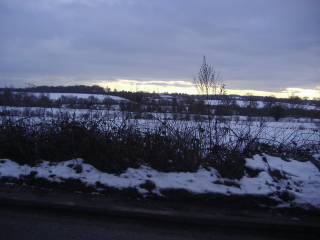
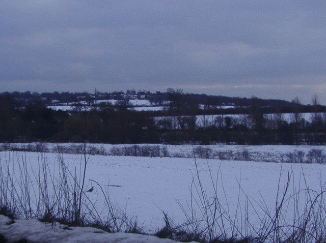
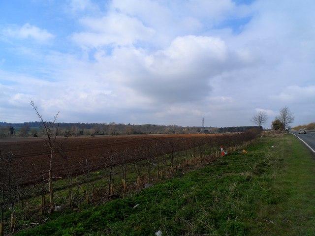
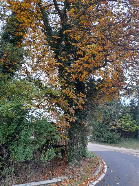
The wood is predominantly composed of native broadleaf trees such as oak, beech, and ash, which create a rich and diverse habitat for a variety of wildlife species. The forest floor is adorned with a carpet of bluebells during the spring months, adding a touch of vibrancy and color to the surroundings.

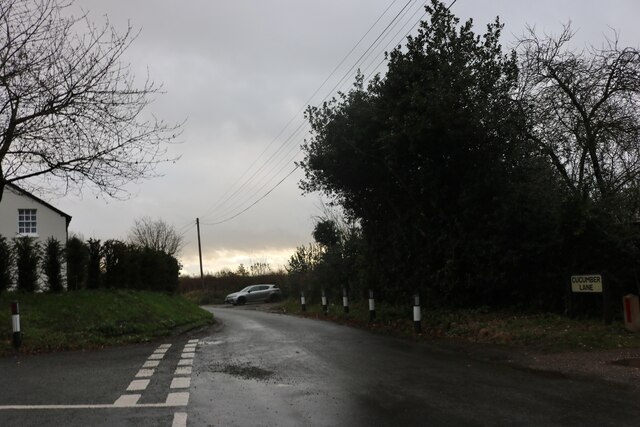
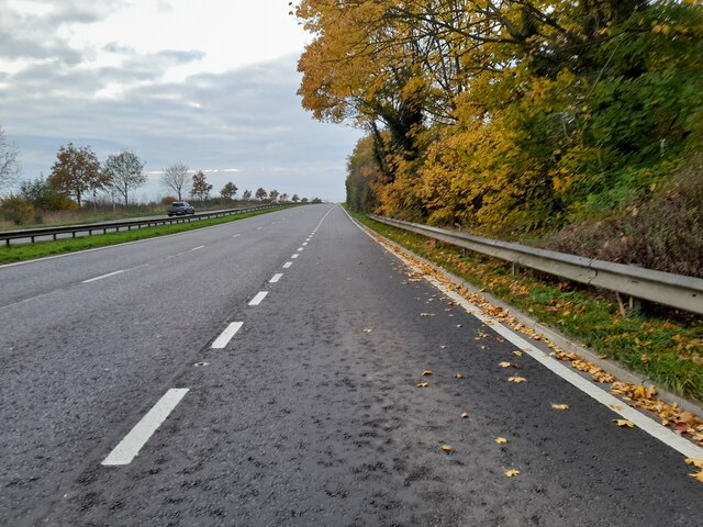
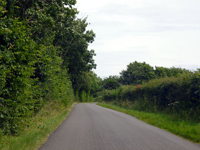
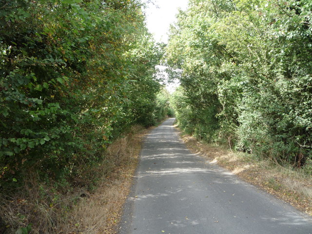
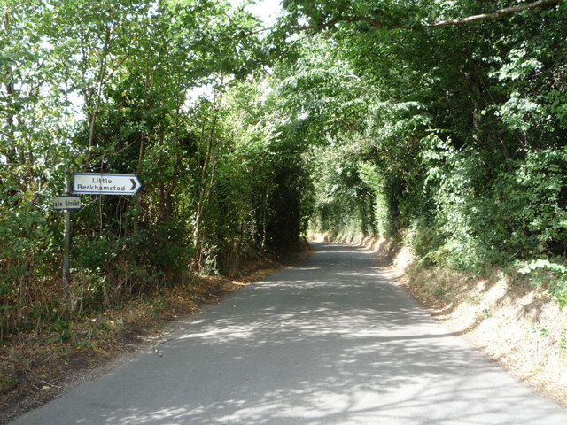
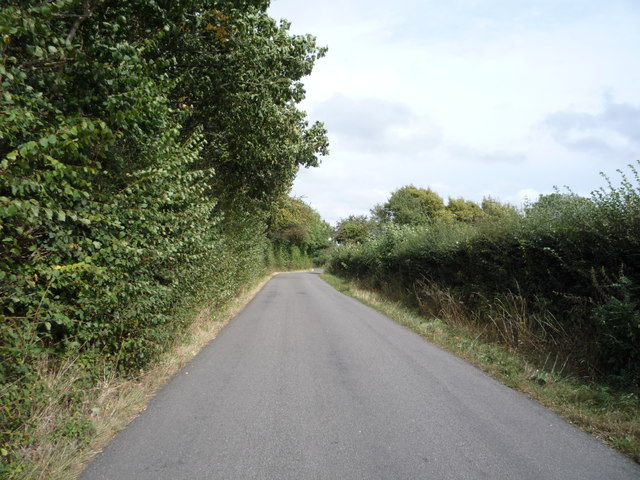
Backhouse Wood is crisscrossed by a network of well-maintained footpaths, enabling visitors to explore its natural beauty at their own pace. These trails wind through the woodland, leading visitors to secluded areas and providing ample opportunities for birdwatching and wildlife spotting.

The wood is home to a plethora of bird species, including woodpeckers, owls, and songbirds, making it a popular destination for bird enthusiasts. Additionally, mammals such as deer, foxes, and squirrels can often be spotted roaming amongst the trees.

The tranquil and serene atmosphere of Backhouse Wood makes it an ideal location for those seeking solace in nature. The sound of rustling leaves and the scent of fresh earth fill the air, providing a sensory experience that is both rejuvenating and calming.

Overall, Backhouse Wood is a hidden gem in Hertfordshire, offering a peaceful retreat for individuals looking to reconnect with nature and enjoy the beauty of a quintessential English woodland.

If you have any feedback on the listing, please let us know in the comments section below.

Backhouse Wood Images

Images are sourced within 2km of 51.76137/-0.15969474 or Grid Reference TL2708. Thanks to Geograph Open Source API. All images are credited.

Cucumber Lane, Essendon At the junction of Berkhamsted Lane
Cucumber Lane, Essendon
At the junction of Berkhamsted Lane
Little Berkhamsted Lane
View from Holwell Lane Hertford
View from Holwell Lane near Hertford
Farmland alongside A414
Estate entrance on Hertford Road
Chestnut tree on Hertford Road
Hertford Road south of Welwyn Garden City
Row of houses on Low Road, Essendon
Preserved Green Bus in Essendon Taken on the B158 High Road, this photo shows a preserved London Transport country bus RF539 (NLE 539) on a short tour from Potters Bar Bus Garage, which was having an Open Day. The vehicle is an AEC Regal IV with Metro-Cammell 39-seater bodywork dating from the early 1950s. Essendon used to be served by routes 350/350A which were operated by London Transport green buses from Hertford bus garage in the 1960s, then by London Country Bus Services in the 1970s. The village is now served by route 341 operated by UNO on weekdays. The Rose & Crown pub can be seen behind the bus.
Preserved Green Bus in Essendon
Taken on the B158 High Road, this photo shows a preserved London Transport country bus RF539 (NLE 539) on a short tour from Potters Bar Bus Garage, which was having an Open Day. The vehicle is an AEC Regal IV with Metro-Cammell 39-seater bodywork dating from the early 1950s. Essendon used to be served by routes 350/350A which were operated by London Transport green buses from Hertford bus garage in the 1960s, then by London Country Bus Services in the 1970s. The village is now served by route 341 operated by UNO on weekdays. The Rose & Crown pub can be seen behind the bus.
Cucumber Lane Nearing Cucumber Hall Farm, but not much to see yet.
Cucumber Lane
Nearing Cucumber Hall Farm, but not much to see yet.
Berkhamsted Lane Heading towards Little Berkhamsted, which is so far from the town of Berkhamsted that the names are probably coincidental.
Berkhamsted Lane
Heading towards Little Berkhamsted, which is so far from the town of Berkhamsted that the names are probably coincidental.
Berkhamsted Lane Heading towards Little Berkhamsted, which is so far from the town of Berkhamsted that the names are probably coincidental.
Berkhamsted Lane
Heading towards Little Berkhamsted, which is so far from the town of Berkhamsted that the names are probably coincidental.
Field entrance off Cucumber Lane
Cucumber Lane Looking north west.
Cucumber Lane
Looking north west.
Stubble field off Berkhamsted Lane
Cucumber Lane Junction with Berkhamsted Lane - looking north.
Cucumber Lane
Junction with Berkhamsted Lane - looking north.
Berkhamsted Lane Looking north east.
Berkhamsted Lane
Looking north east.
Show me another place!

Backhouse Wood is located at Grid Ref: TL2708 (Lat: 51.76137, Lng: -0.15969474)

Administrative County: Hertfordshire

District: Welwyn Hatfield

Police Authority: Hertfordshire

What 3 Words

///pigs.trial.burn. Near Hatfield, Hertfordshire

Related Wikis

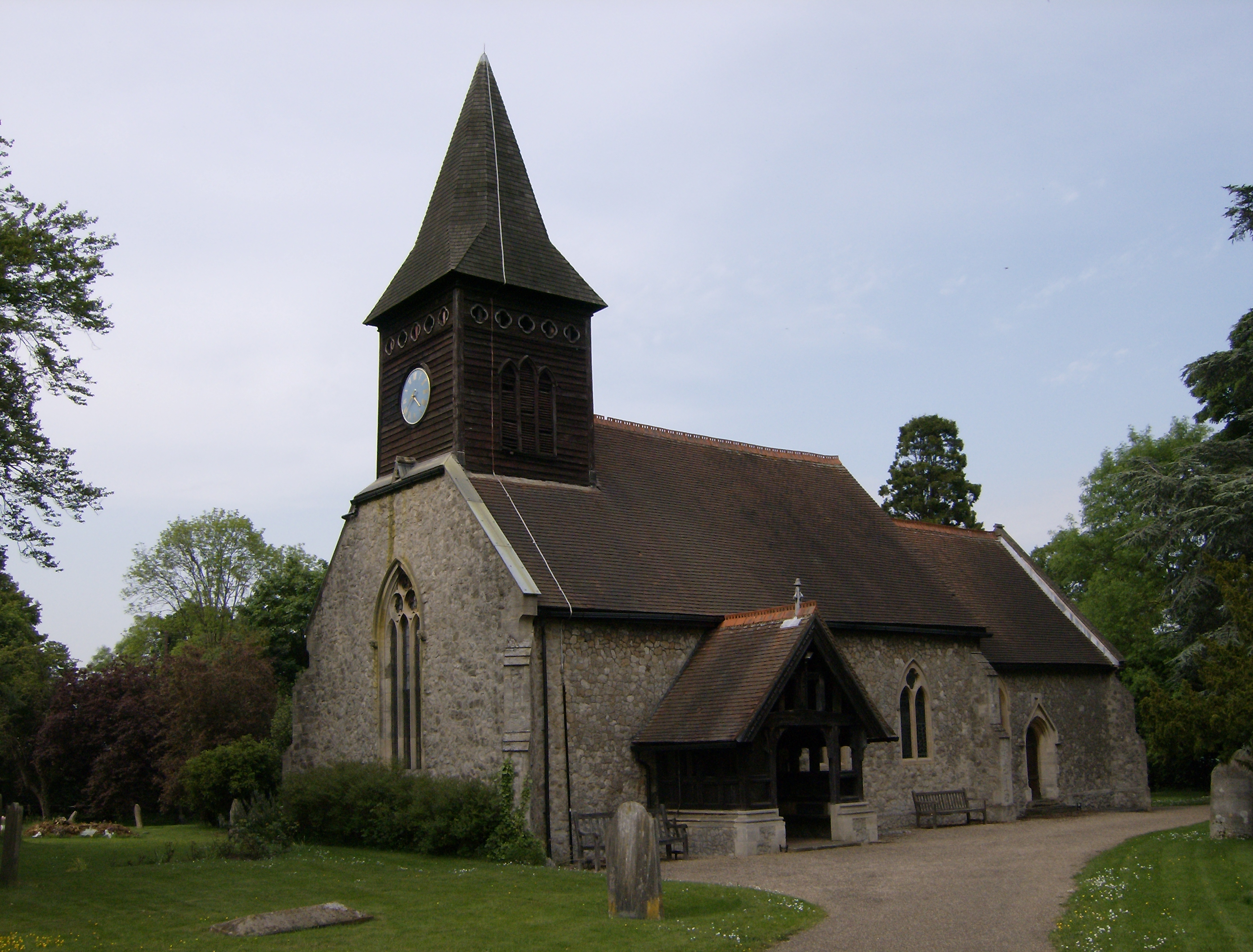
Essendon, Hertfordshire

Essendon is a village and civil parish in Hertfordshire 6 miles (10 km), south-west of Hertford. The village is on the B158 road 330 feet (100 m) above...

Little Berkhamsted

Little Berkhamsted is a village and civil parish in Hertfordshire, England, five miles south-west of the town of Hertford. The village is in a hilly location...

Woolmers Park

Woolmers Park is a Grade II* listed building in Hertfordshire, England. It was the residence of Claude Bowes-Lyon, 14th Earl of Strathmore and Kinghorne...

Welwyn Hatfield

Welwyn Hatfield is a local government district with borough status in the county of Hertfordshire, England. Its council is based in Welwyn Garden City...

Welwyn Hatfield (UK Parliament constituency)

Welwyn Hatfield is a constituency in Hertfordshire represented in the House of Commons of the UK Parliament since 2005 by Grant Shapps, a Conservative...

The Troopie

The Trooper, also popularly referred as The Troopie, is a Rhodesian statue and war memorial. It is located in the grounds of Hatfield House, home of the...

The Commons, Welwyn Garden City

The Commons is 13.2 hectare Local Nature Reserve in Welwyn Garden City in Hertfordshire. It is owned and managed by Welwyn Hatfield Borough Council.The...

St John's Church, Letty Green

St John's Church, Letty Green, is a deconsecrated Gothic Revival church in Letty Green, Hertfordshire, England. The building was designed by George Fowler...

Nearby Amenities

Located within 500m of 51.76137,-0.15969474
Essendon
Place: village
Lat/Long: 51.7622513/-0.1537236
Crossing
Crossing: unmarked
Lat/Long: 51.7626415/-0.153345
Bus Stop
War Memorial
Bench: yes
Bus: yes
Naptan AtcoCode: 210021602060
Naptan Bearing: S
Naptan CommonName: War Memorial
Naptan Indicator: opp
Naptan Landmark: Unknown
Naptan NaptanCode: hrtaptja
Naptan ShortCommonName: NA
Naptan Street: High Road
Naptan Verified: no
Public Transport: platform
Shelter: yes
Source: naptan_import
Lat/Long: 51.7628913/-0.1548139
Bus Stop
War Memorial
Bus: yes
Local Ref: NR
Naptan AtcoCode: 210021602065
Naptan Bearing: N
Naptan BusStopType: CUS
Naptan CommonName: War Memorial
Naptan Indicator: nr
Naptan Landmark: Unknown
Naptan NaptanCode: hrtaptjd
Naptan ShortCommonName: NA
Naptan Street: High Road
Naptan Verified: no
Public Transport: platform
Source: naptan_import
Lat/Long: 51.7628762/-0.1554486
Barrier: kissing_gate
Bicycle: no
Foot: yes
Source: GPS
Lat/Long: 51.7604976/-0.1573312
Barrier: kissing_gate
Bicycle: no
Foot: yes
Source: GPS
Lat/Long: 51.7614794/-0.1568393
Barrier: kissing_gate
Bicycle: no
Foot: yes
Lat/Long: 51.7620812/-0.1576957
Barrier: kissing_gate
Bicycle: no
Foot: yes
Source: GPS
Lat/Long: 51.7588816/-0.1628341
Barrier: kissing_gate
Bicycle: no
Foot: yes
Source: GPS
Lat/Long: 51.7590679/-0.162003
Barrier: kissing_gate
Foot: yes
Source: GPS
Lat/Long: 51.7611198/-0.1543425
Post Box
Collection Times: Mo-Fr 16:30; Sa 10:30; Su off
Post Box Type: pillar
Ref: AL9 171
Royal Cypher: GVIR
Royal Cypher Wikidata: Q33102169
Lat/Long: 51.761815/-0.1538677
Bench
Lat/Long: 51.7610971/-0.1546887
Bench
Lat/Long: 51.7608792/-0.155846
Power: pole
Lat/Long: 51.7638568/-0.1580961
Power: pole
Lat/Long: 51.7648537/-0.1578896
Power: pole
Lat/Long: 51.7645009/-0.1595271
Power: pole
Lat/Long: 51.7644171/-0.159975
Power: pole
Lat/Long: 51.7642295/-0.1615146
Power: pole
Lat/Long: 51.7640652/-0.1628678
Power: pole
Lat/Long: 51.7640801/-0.1637891
Power: pole
Lat/Long: 51.7639099/-0.1647359
Power: pole
Lat/Long: 51.7637348/-0.1656827
Power: pole
Lat/Long: 51.7651525/-0.1565766
Direction: forward
Traffic Calming: chicane
Lat/Long: 51.7587681/-0.1541334
Power: pole
Lat/Long: 51.7640486/-0.1543705
Crossing
Crossing: unmarked
Lat/Long: 51.7626661/-0.1538004
Ford: yes
Lat/Long: 51.7608911/-0.1586788
Addr Housename: Wytmead
Addr Street: High Road
Lat/Long: 51.7631405/-0.1549762
Essendon war memorial
Historic: memorial
Memorial: war_memorial
Lat/Long: 51.7626024/-0.1550666
ESSENDON
Board Type: welcome_sign
Information: board
Tourism: information
Lat/Long: 51.7624246/-0.1550272
The data included in this document is from www.openstreetmap.org. The data is made available under ODbL.

Have you been to Backhouse Wood?

Leave your review of Backhouse Wood below (or comments, questions and feedback).