Asterby Gorse

Wood, Forest in Lincolnshire East Lindsey

England

Asterby Gorse

Direction Sign – Signpost near St Nicholas's church in Stenigot parish Located on the south side of a T junction near St Nicholas's church in Stenigot parish. 3 arms and no finial.

Milestone Society National ID: LI_TF2580
Direction Sign – Signpost near St Nicholas's church in Stenigot parish Credit: A Riley

Asterby Gorse is a small wood located in Lincolnshire, England. Situated near the village of Asterby, it covers an area of approximately 20 acres. The wood is densely populated with a variety of trees, including oak, ash, birch, and beech, creating a diverse and vibrant ecosystem.

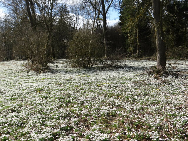
The forest floor of Asterby Gorse is covered in a thick carpet of moss, providing a soft and damp surface for plants to grow. Numerous wildflowers can be found in the wood, such as bluebells, primroses, and wood anemones, adding bursts of color to the lush green surroundings.

The wood is home to a wide range of wildlife, making it a popular destination for nature enthusiasts and birdwatchers. Visitors may spot a variety of bird species, including woodpeckers, thrushes, and owls, as well as small mammals like squirrels and voles. In spring, the wood comes alive with the sounds of chirping birds and buzzing insects.

Asterby Gorse is a tranquil and peaceful place, with walking trails meandering through the trees, providing visitors with the opportunity to explore the natural beauty of the area. The wood is also a designated Site of Special Scientific Interest, recognizing its importance for wildlife preservation and conservation.

Overall, Asterby Gorse in Lincolnshire is a beautiful and enchanting wood, offering a haven for both flora and fauna. It is a place where visitors can immerse themselves in nature and experience the tranquility of the forest.

If you have any feedback on the listing, please let us know in the comments section below.

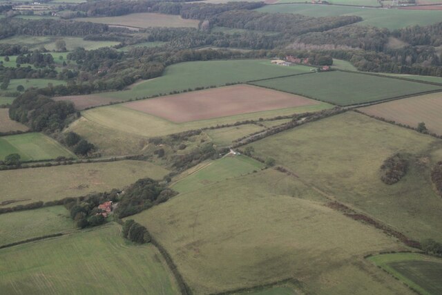
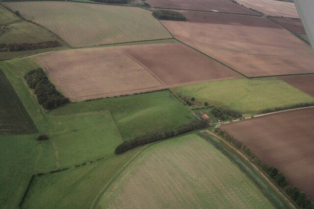
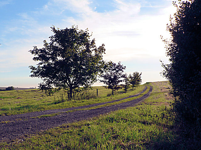
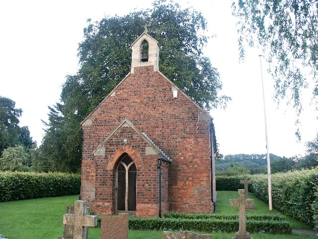
Asterby Gorse Images

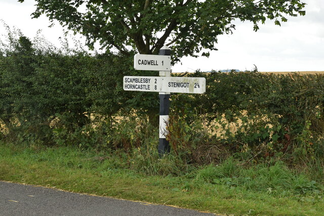
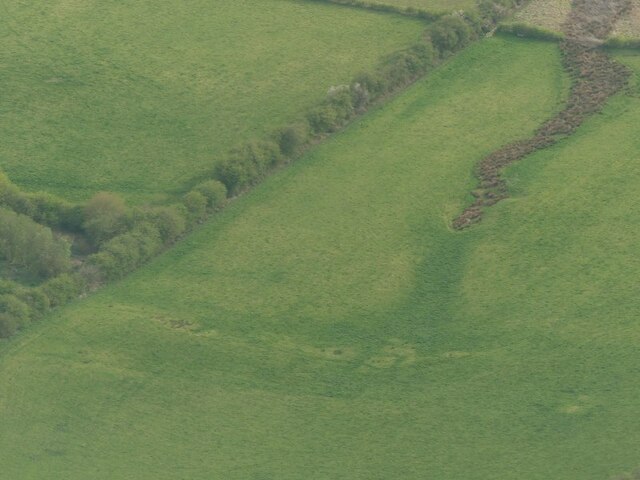
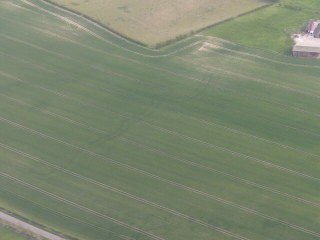
Images are sourced within 2km of 53.302532/-0.094433951 or Grid Reference TF2780. Thanks to Geograph Open Source API. All images are credited.

Direction Sign – Signpost near St Nicholas's church in Stenigot parish Located on the south side of a T junction near St Nicholas's church in Stenigot parish. 3 arms and no finial.

Milestone Society National ID: LI_TF2580
Direction Sign – Signpost near St Nicholas's church in Stenigot parish
Located on the south side of a T junction near St Nicholas's church in Stenigot parish. 3 arms and no finial. Milestone Society National ID: LI_TF2580
Direction Sign – Signpost on Bluestone Heath Road in Scamblesby parish Located on the southwest side of the T junction of Bluestone Heath Road and a minor road to Highfield Caldwell in Scamblesby parish. 3 arms and no finial.

Milestone Society National ID: LI_TF2781A
Direction Sign – Signpost on Bluestone Heath Road in Scamblesby parish
Located on the southwest side of the T junction of Bluestone Heath Road and a minor road to Highfield Caldwell in Scamblesby parish. 3 arms and no finial. Milestone Society National ID: LI_TF2781A
Snow in the Wolds Like a dusting of snow, these snowdrops in Lodge Plantation bring joy to the passer-by.
Snow in the Wolds
Like a dusting of snow, these snowdrops in Lodge Plantation bring joy to the passer-by.
Medieval settlement remains of Stenigot: aerial 2022 (1)
Spring course, Red Hill Farm, Goulceby: aerial 2022
Parallel cropmarks near Cadwell Grange: aerial 2022 (1) See <a href="https://www.geograph.org.uk/photo/7162749">TF2880 : Parallel cropmarks near Cadwell Grange: aerial 2022 (2)</a> for detail.
Parallel cropmarks near Cadwell Grange: aerial 2022 (1)
Parallel cropmarks near Cadwell Grange: aerial 2022 (2) Detail of <a href="https://www.geograph.org.uk/photo/7162746">TF2880 : Parallel cropmarks near Cadwell Grange: aerial 2022 (1)</a>.
Parallel cropmarks near Cadwell Grange: aerial 2022 (2)
Benchmark on Building at Manor Farm This indistinct benchmark is at the southeast end of a long roadside farm building.  See <a title="https://www.geograph.org.uk/photo/7395110" href="https://www.geograph.org.uk/photo/7395110">Link</a> for a wider view and <span class="nowrap"><a title="https://www.bench-marks.org.uk/bm182892" rel="nofollow ugc noopener" href="https://www.bench-marks.org.uk/bm182892">Link</a><img style="margin-left:2px;" alt="External link" title="External link - shift click to open in new window" src="https://s1.geograph.org.uk/img/external.png" width="10" height="10"/></span> for details of the mark.
Benchmark on Building at Manor Farm
This indistinct benchmark is at the southeast end of a long roadside farm building. See Link for a wider view and LinkExternal link for details of the mark.
Farm Building at Manor Farm There is an indistinct benchmark at the near end of this long roadside farm building.  See <a title="https://www.geograph.org.uk/photo/7395107" href="https://www.geograph.org.uk/photo/7395107">Link</a> for a closer view and <span class="nowrap"><a title="https://www.bench-marks.org.uk/bm182892" rel="nofollow ugc noopener" href="https://www.bench-marks.org.uk/bm182892">Link</a><img style="margin-left:2px;" alt="External link" title="External link - shift click to open in new window" src="https://s1.geograph.org.uk/img/external.png" width="10" height="10"/></span> for details of the mark.
Farm Building at Manor Farm
There is an indistinct benchmark at the near end of this long roadside farm building. See Link for a closer view and LinkExternal link for details of the mark.
Redhill, near Stenigot: aerial 2023 For distance view see <a href="https://www.geograph.org.uk/photo/3904842">TF2680 : Red Hill from Asterby</a> and <a href="https://www.geograph.org.uk/photo/3904835">TF2680 : Red Hill from Asterby</a>.

The reserve contains a chalk escarpment and a disused quarry with a famous exposure of Red Chalk. This is rich in fossils, particularly belemnites and brachiopods. Below the Red Chalk there is a considerable thickness of Carstone, here a coarse, pebbly sandstone, and above it a thin capping of the white Lower Chalk.

See also <a href="https://www.geograph.org.uk/photo/3727494">TF2680 : The red in Red Hill</a>.
Redhill, near Stenigot: aerial 2023
For distance view see TF2680 : Red Hill from Asterby and TF2680 : Red Hill from Asterby. The reserve contains a chalk escarpment and a disused quarry with a famous exposure of Red Chalk. This is rich in fossils, particularly belemnites and brachiopods. Below the Red Chalk there is a considerable thickness of Carstone, here a coarse, pebbly sandstone, and above it a thin capping of the white Lower Chalk. See also TF2680 : The red in Red Hill.
Imber Hill, NE of Goulceby: aerial 2023
Stenigot House and Park: aerial 2023 (1)
Stenigot Top: aerial 2023
Stenigot House and Park: aerial 2023 (2)
Red Hill, near Goulceby: aerial 2023 (1) Nature Reserve containing a chalk escarpment and a disused quarry with a famous exposure of Red Chalk. This is rich in fossils, particularly belemnites and brachiopods. Below the Red Chalk there is a considerable thickness of Carstone, here a coarse, pebbly sandstone, and above it a thin capping of the white Lower Chalk.

See: <span class="nowrap"><a title="https://www.lincstrust.org.uk/nature-reserves/red-hill" rel="nofollow ugc noopener" href="https://www.lincstrust.org.uk/nature-reserves/red-hill">Link</a><img style="margin-left:2px;" alt="External link" title="External link - shift click to open in new window" src="https://s1.geograph.org.uk/img/external.png" width="10" height="10"/></span>
Red Hill, near Goulceby: aerial 2023 (1)
Nature Reserve containing a chalk escarpment and a disused quarry with a famous exposure of Red Chalk. This is rich in fossils, particularly belemnites and brachiopods. Below the Red Chalk there is a considerable thickness of Carstone, here a coarse, pebbly sandstone, and above it a thin capping of the white Lower Chalk. See: LinkExternal link
Geological feature near Red Hill, Stenigot: aerial 2023 (1)
Red Hill, near Goulceby: aerial 2023 (2) Nature Reserve containing a chalk escarpment and a disused quarry with a famous exposure of Red Chalk. This is rich in fossils, particularly belemnites and brachiopods. Below the Red Chalk there is a considerable thickness of Carstone, here a coarse, pebbly sandstone, and above it a thin capping of the white Lower Chalk.

See: <span class="nowrap"><a title="https://www.lincstrust.org.uk/nature-reserves/red-hill" rel="nofollow ugc noopener" href="https://www.lincstrust.org.uk/nature-reserves/red-hill">Link</a><img style="margin-left:2px;" alt="External link" title="External link - shift click to open in new window" src="https://s1.geograph.org.uk/img/external.png" width="10" height="10"/></span>
Red Hill, near Goulceby: aerial 2023 (2)
Nature Reserve containing a chalk escarpment and a disused quarry with a famous exposure of Red Chalk. This is rich in fossils, particularly belemnites and brachiopods. Below the Red Chalk there is a considerable thickness of Carstone, here a coarse, pebbly sandstone, and above it a thin capping of the white Lower Chalk. See: LinkExternal link
Geological feature near Red Hill, Stenigot: aerial 2023 (2)
Show me another place!

Asterby Gorse is located at Grid Ref: TF2780 (Lat: 53.302532, Lng: -0.094433951)

Administrative County: Lincolnshire

District: East Lindsey

Police Authority: Lincolnshire

What 3 Words

///momentous.alert.wash. Near Burwell, Lincolnshire

Nearby Locations

Asterby Gorse

Related Wikis

Asterby

Asterby is a hamlet between Goulceby and Scamblesby, west of Louth, in the East Lindsey district of Lincolnshire, England. The civil parish of Asterby...

Cawkwell

Cawkwell is a hamlet and former civil parish, now in the parish of Scamblesby, in the East Lindsey district of Lincolnshire, England. It is situated approximately...

Goulceby

Goulceby ( GOLSS-bee) is a village and civil parish in the East Lindsey district of Lincolnshire, England. It is situated 7 miles (11 km) south-west from...

Scamblesby

Scamblesby is a village and civil parish in the East Lindsey district from Lincolnshire, England. It is situated 6 miles (10 km) south-west from Louth...

Stenigot

Stenigot is a village in the East Lindsey district of Lincolnshire, England. It is in the Lincolnshire Wolds, a designated Area of Outstanding Natural...

Cadwell Park

Cadwell Park is a motor racing circuit in Lincolnshire, England, 5 mi (8.0 km) south of Louth, owned and operated by MotorSport Vision, a business associated...

RAF Stenigot

RAF Stenigot is a former Second World War radar station situated at Stenigot, near Donington on Bain, Lincolnshire. == Second World War == It was built...

Donington on Bain railway station

Donington railway station was a station in the village of Donington on Bain, Lincolnshire, England. == History == The Great Northern Railway planned and...

Nearby Amenities

Located within 500m of 53.302532,-0.094433951
Natural: peak
Lat/Long: 53.303185/-0.0920105
Note: End of Public Highway
Lat/Long: 53.2996453/-0.0949784
The data included in this document is from www.openstreetmap.org. The data is made available under ODbL.

Have you been to Asterby Gorse?

Leave your review of Asterby Gorse below (or comments, questions and feedback).