Buke Horn Plantation
Wood, Forest in Cambridgeshire
England
Buke Horn Plantation

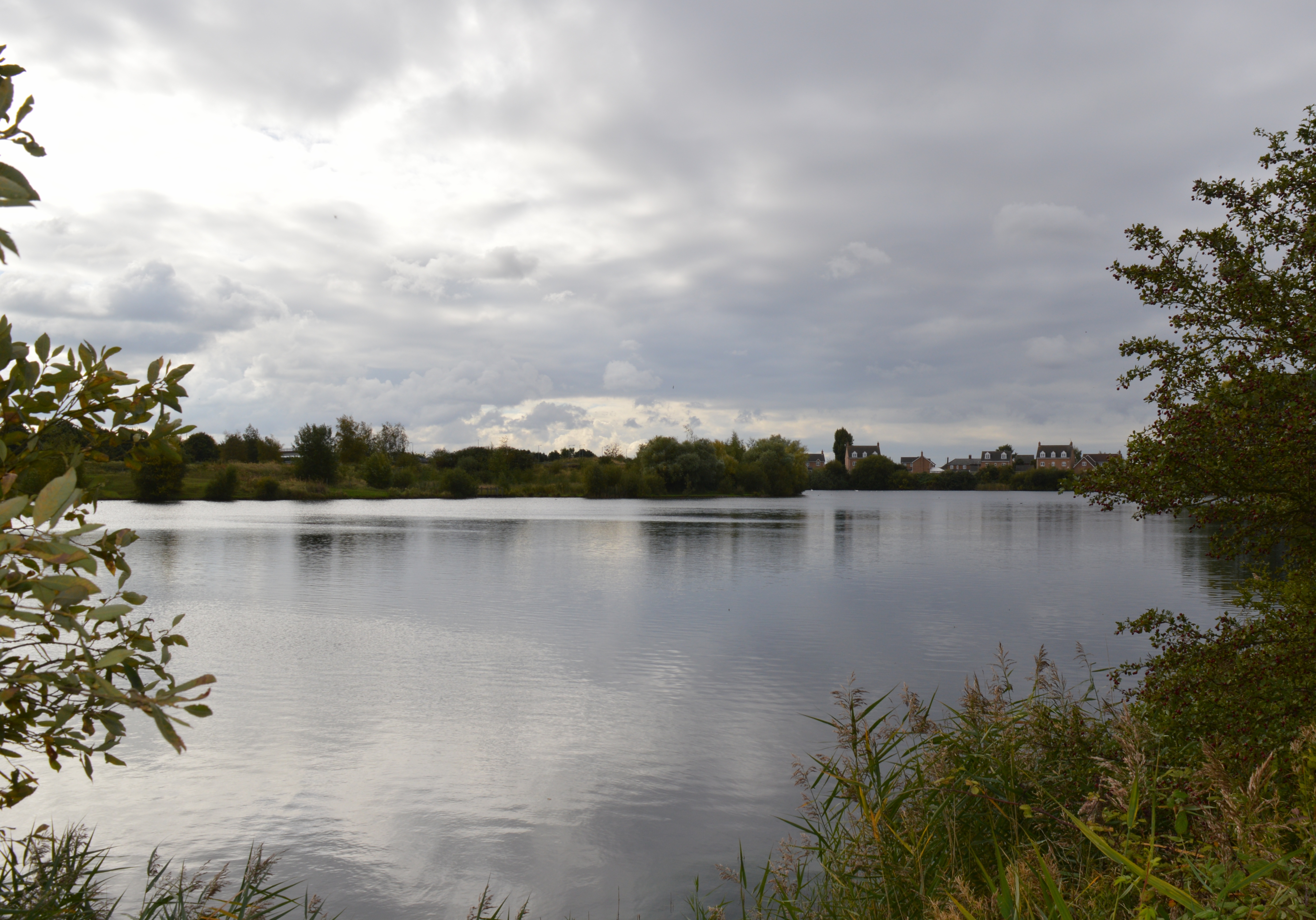
Buke Horn Plantation is a picturesque woodland located in Cambridgeshire, England. Situated in the heart of the county, this enchanting forest covers an area of approximately 100 acres. Known for its pristine beauty, Buke Horn Plantation offers a tranquil and idyllic escape for nature enthusiasts and outdoor lovers.
The woodland is predominantly composed of a variety of broadleaf trees, including oak, beech, and ash. These towering trees provide a majestic canopy, creating a serene atmosphere throughout the plantation. The forest floor is carpeted with a rich variety of flora, including bluebells, ferns, and wild garlic, adding to the enchanting ambiance.
Buke Horn Plantation is a haven for wildlife, attracting a diverse range of species. Visitors may encounter an array of birds, such as woodpeckers, song thrushes, and tawny owls, as well as small mammals like squirrels, badgers, and foxes. The forest also boasts a thriving population of insects, including butterflies and dragonflies, which adds to the ecological diversity of the area.
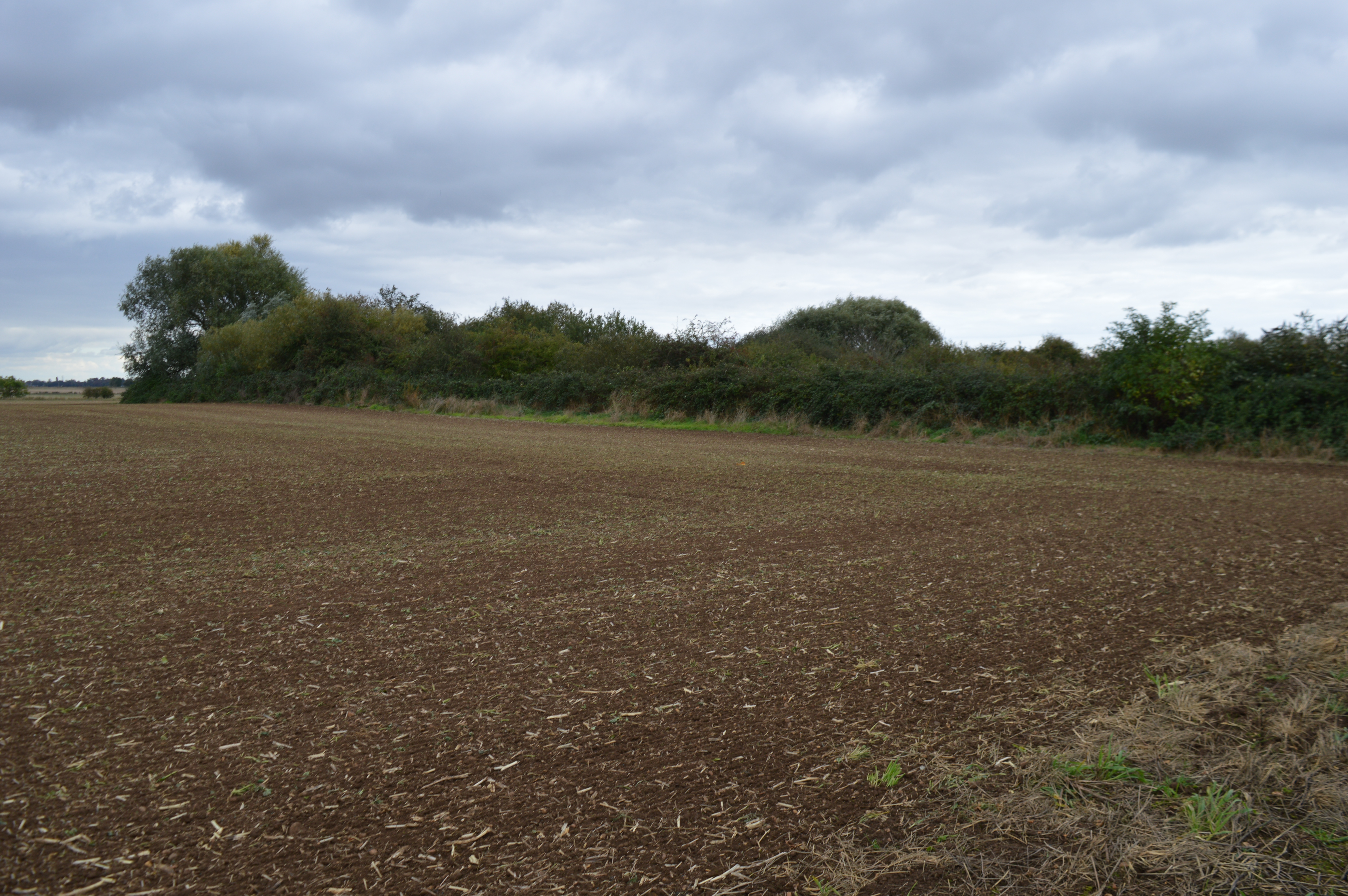
The plantation offers several well-maintained walking paths and trails, allowing visitors to explore the woodland at their own pace. These paths wind through the forest, providing opportunities for peaceful strolls, birdwatching, and photography. Additionally, there are picnic areas and benches scattered throughout the plantation, providing perfect spots for visitors to relax and enjoy the natural surroundings.
Buke Horn Plantation is a true gem in the Cambridgeshire countryside, offering a serene and enchanting woodland experience for all who visit. Whether it's a leisurely walk, a day of nature observation, or a picnic amidst the beauty of the forest, this plantation is a must-visit destination for nature enthusiasts and those seeking tranquility.
If you have any feedback on the listing, please let us know in the comments section below.
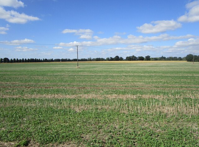
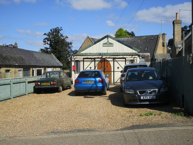
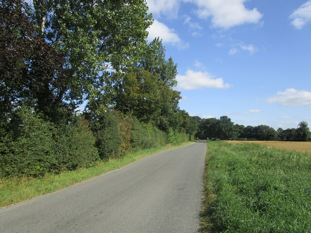
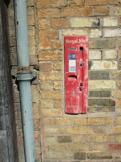
Buke Horn Plantation Images
Images are sourced within 2km of 52.629258/-0.12398105 or Grid Reference TF2705. Thanks to Geograph Open Source API. All images are credited.
![Cropmark near Middle West Farm, west of Thorney: aerial 2021 (2) See also <a href="https://www.geograph.org.uk/photo/6924382">TF2504 : Cropmark near Middle West Farm, west of Thorney: aerial 2021 (1)</a>].](https://s2.geograph.org.uk/geophotos/06/92/43/6924398_b46f2b78.jpg)
![Cropmark near Middle West Farm, west of Thorney: aerial 2021 (3) See also <a href="https://www.geograph.org.uk/photo/6924382">TF2504 : Cropmark near Middle West Farm, west of Thorney: aerial 2021 (1)</a>].](https://s2.geograph.org.uk/geophotos/06/92/44/6924410_89b68c86.jpg)
![Cropmark near Middle West Farm, west of Thorney: aerial 2021 (4) See also <a href="https://www.geograph.org.uk/photo/6924382">TF2504 : Cropmark near Middle West Farm, west of Thorney: aerial 2021 (1)</a>].](https://s0.geograph.org.uk/geophotos/06/92/44/6924412_c6860502.jpg)


Buke Horn Plantation is located at Grid Ref: TF2705 (Lat: 52.629258, Lng: -0.12398105)
Division: Isle of Ely
Unitary Authority: Peterborough
Police Authority: Cambridgeshire
What 3 Words
///pads.observers.afternoon. Near Thorney, Cambridgeshire
Nearby Locations
Related Wikis

Thorney railway station
Thorney railway station was a station in Thorney, Cambridgeshire on the Midland and Great Northern Joint Railway line between Peterborough and Wisbech...

Thorney, Cambridgeshire
Thorney is a village in the Peterborough unitary authority in the ceremonial county of Cambridgeshire, England. Located around eight miles (13 km) east...

Thorney Abbey
Thorney Abbey, now the Church of St Mary and St Botolph, was a medieval monastic house established on the island of Thorney in The Fens of Cambridgeshire...
Eye Green Local Nature Reserve
Eye Green Local Nature Reserve is a 12 hectare Local Nature Reserve in Eye Green in Cambridgeshire. It was managed by the Wildlife Trust for Bedfordshire...
Eye Gravel Pit
Eye Gravel Pit is a 0.4-hectare (0.99-acre) geological Site of Special Scientific Interest in Eye Green in Cambridgeshire. It is a Geological Conservation...

Eye Green
Eye Green is a hamlet in the unitary authority of Peterborough, in the ceremonial county of Cambridgeshire, England. It lies north of Eye and south of...

Wryde railway station
Wryde railway station was a station serving Wryde, Cambridgeshire on the Midland and Great Northern Joint Railway between Wisbech and Peterborough. Originally...
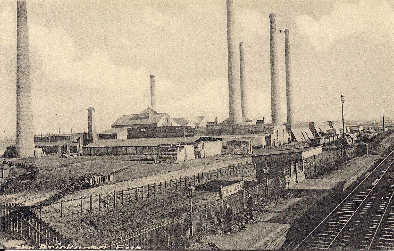
Eye Green railway station
Eye Green railway station was a station in Eye, Cambridgeshire, on the Midland and Great Northern Joint Railway line between Peterborough and Wisbech....
Nearby Amenities
Located within 500m of 52.629258,-0.12398105Have you been to Buke Horn Plantation?
Leave your review of Buke Horn Plantation below (or comments, questions and feedback).