Enfield
Settlement in Middlesex
England
Enfield
Enfield is a suburban town located in the county of Middlesex, in the north of Greater London, England. It lies approximately 16 kilometers (10 miles) north of central London. Enfield covers an area of about 31 square kilometers (12 square miles) and has a population of around 330,000 people.
Enfield has a rich history dating back to Roman times, with evidence of settlements and agricultural activity in the area. The town grew significantly during the Industrial Revolution, with the establishment of industries such as gun manufacturing, engineering, and printing.
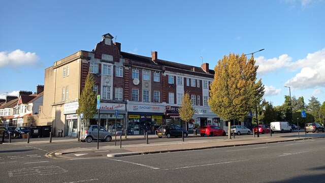
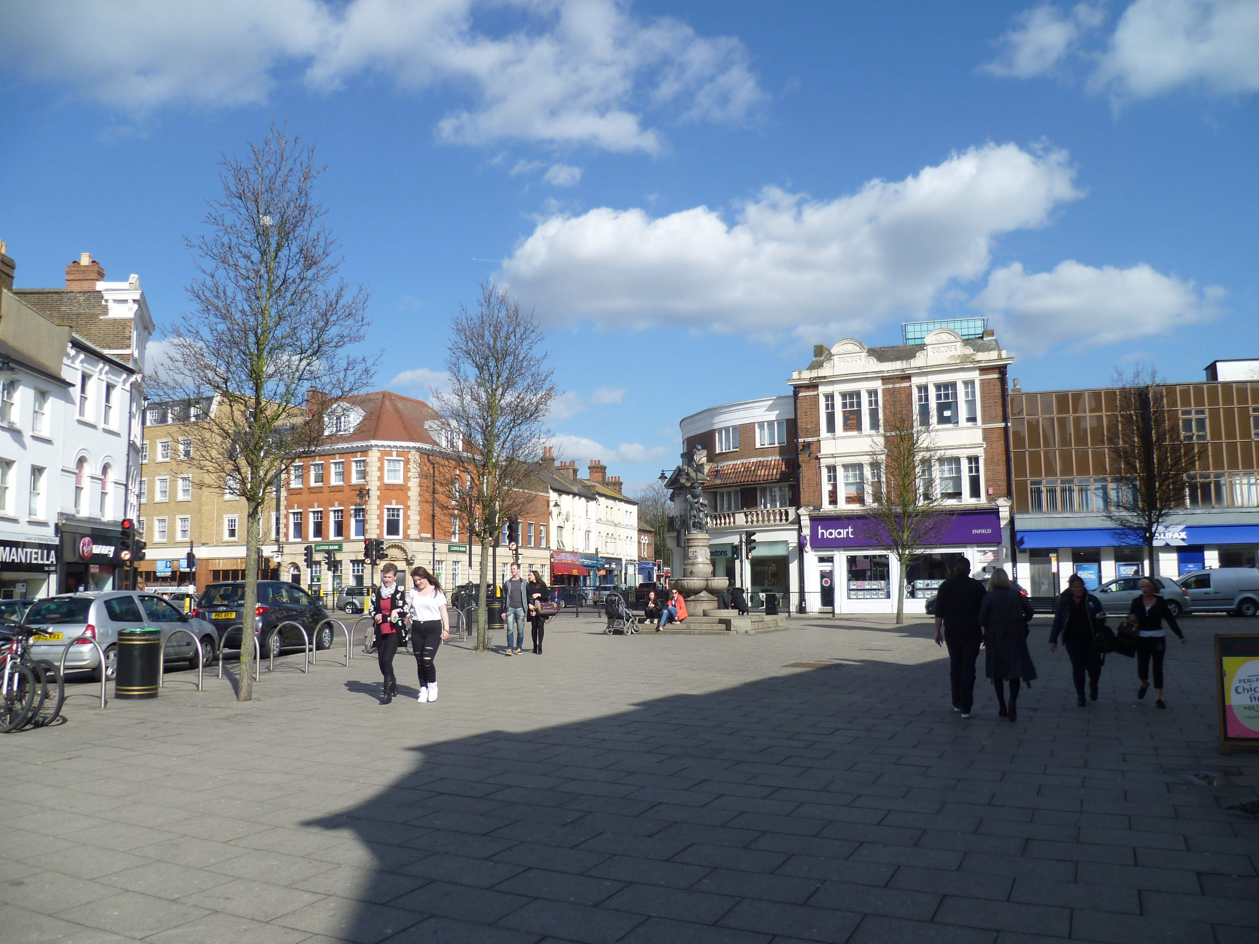
Today, Enfield is a diverse and vibrant town with a mix of residential, commercial, and industrial areas. The town center offers a range of shopping opportunities, including a large retail park and a variety of independent shops, as well as cafes, restaurants, and entertainment venues.
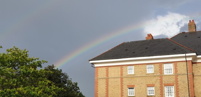
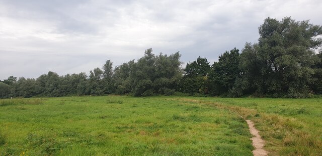
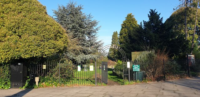
Enfield is known for its green spaces and parks, with popular spots such as Trent Park, Forty Hall, and Enfield Town Park providing opportunities for outdoor activities and relaxation. The town also boasts several sports facilities, including leisure centers, golf courses, and football clubs.
Transport links in Enfield are excellent, with multiple train stations connecting the town to central London and other parts of the country. Several major roads, including the M25 motorway, pass through or near Enfield, making it easily accessible by car.
Overall, Enfield offers a mix of historical charm, modern amenities, and convenient transport links, making it an attractive place to live, work, and visit.
If you have any feedback on the listing, please let us know in the comments section below.
Enfield Images
Images are sourced within 2km of 51.652186/-0.084646 or Grid Reference TQ3296. Thanks to Geograph Open Source API. All images are credited.


Enfield is located at Grid Ref: TQ3296 (Lat: 51.652186, Lng: -0.084646)
Unitary Authority: Enfield
Police Authority: Metropolitan
What 3 Words
///penny.raced.chest. Near Enfield Town, London
Related Wikis
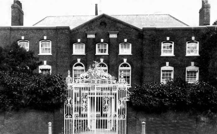
Burleigh House, Enfield
Burleigh House was a house in Enfield, near London, that was built in the mid-17th century for the lawyer James Mayoe. It was constructed on the grounds...

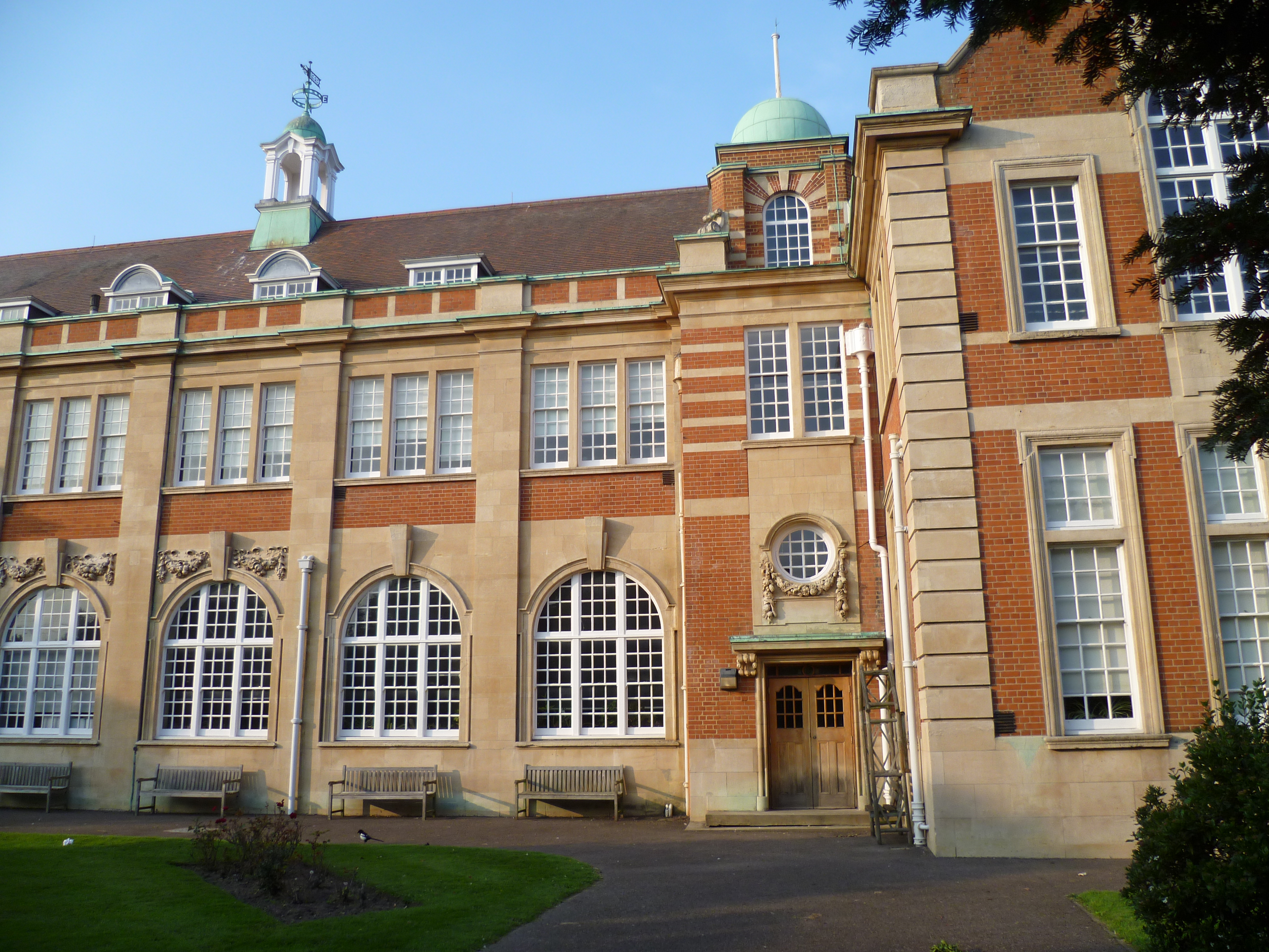
Enfield Grammar School
Enfield Grammar School (abbreviated to EGS; also known as Enfield Grammar) is a boys' Comprehensive school and sixth form with academy status, founded...

Trinity Church, Enfield
Trinity Church, Enfield is located at Church Street, Enfield, London. The church was formed in 1983 by the union of Enfield Methodist Church (formed 1890...

Barclays Bank, Enfield
Barclays Bank, at 20 The Town, Enfield, formerly the London and Provincial Bank, is a Grade II listed building in the London Borough of Enfield. It was...

Old Vestry Office, Enfield
The Old Vestry Office is a grade II listed building at 22 The Town, Enfield, London. It was built around 1800 or 1830 as the town beadle's office. It was...

St Andrew's Enfield
St Andrew's Enfield is a Church of England church in Enfield, London, and the original parish church of Enfield. It is a grade II* listed building with...
Enfield County School
Enfield County is a girls' comprehensive school which was once created as Enfield Chace School in 1967, following the amalgamation of Enfield County School...
Enfield, London
Enfield is a large town in north London, England, 10.1 miles (16.3 km) north of Charing Cross. It had a population of 156,858 in 2018. It includes the...
Nearby Amenities
Located within 500m of 51.652186,-0.084646Have you been to Enfield?
Leave your review of Enfield below (or comments, questions and feedback).