Blackthorn Wood
Wood, Forest in Hertfordshire Welwyn Hatfield
England
Blackthorn Wood
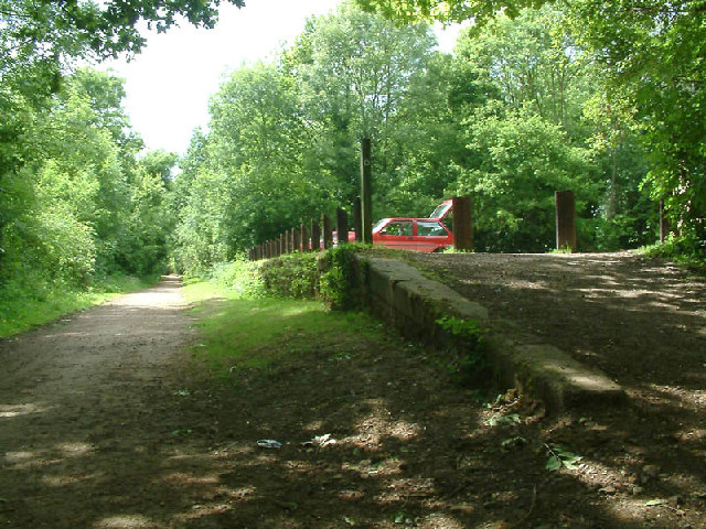
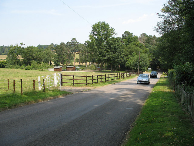
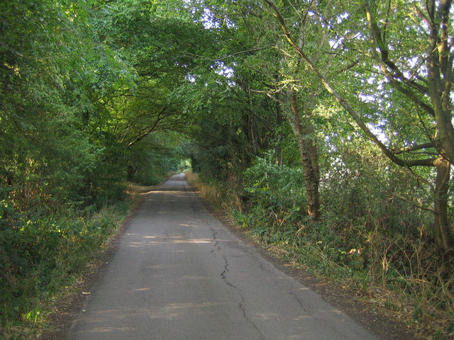
Blackthorn Wood is a picturesque woodland area located in Hertfordshire, England. Covering an expansive area of approximately 200 acres, this enchanting forest offers a tranquil escape from the bustling city life. It is situated in close proximity to the town of Hertford, making it easily accessible for both locals and visitors.
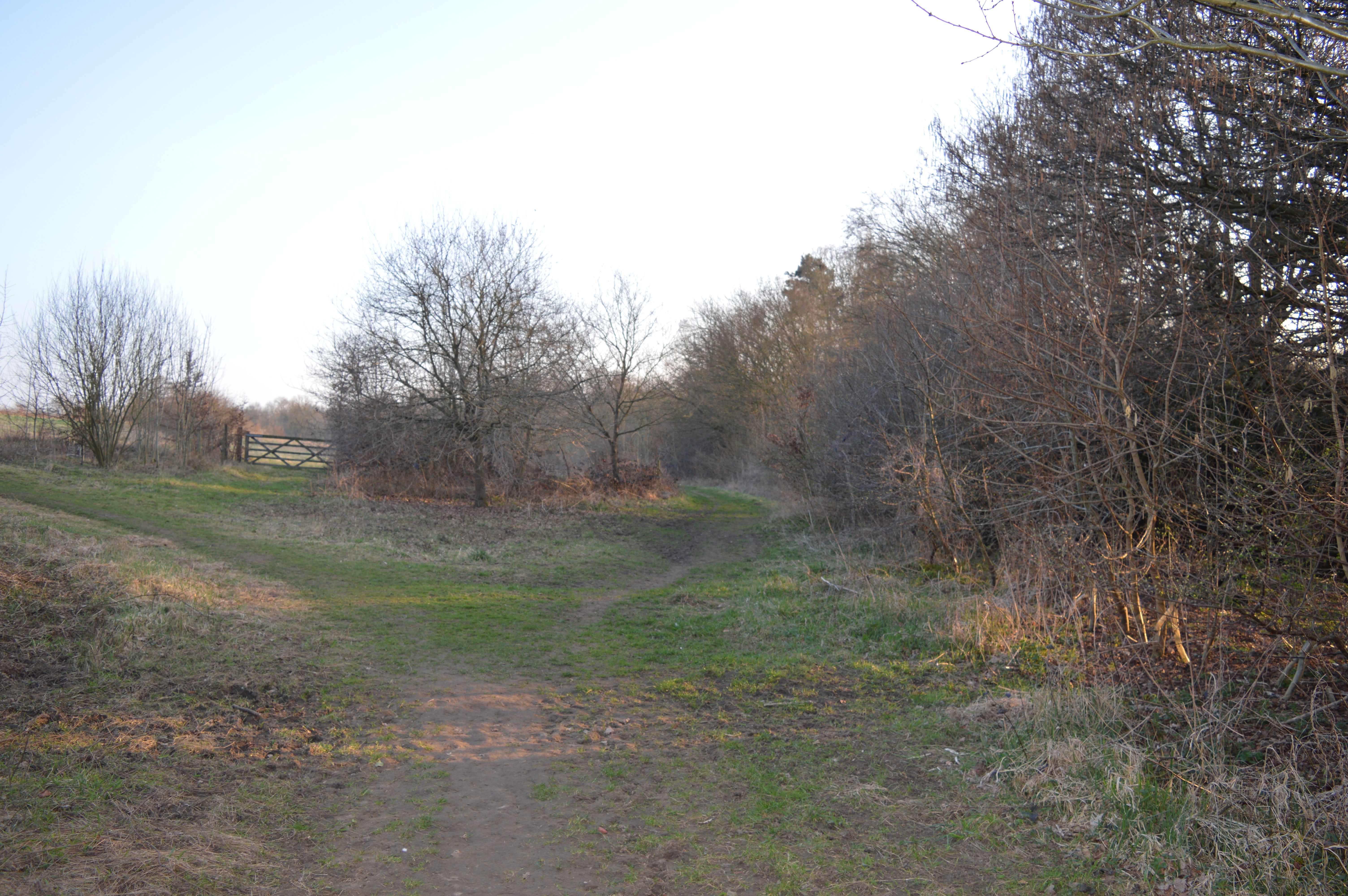
The woodland is characterized by its dense canopy of blackthorn trees, which give the area its name. These trees, with their sharp thorns and beautiful white blossoms in spring, create a striking contrast against the backdrop of the surrounding greenery. The forest floor is carpeted with a rich tapestry of wildflowers, including bluebells and primroses, adding to the wood's natural charm.
Blackthorn Wood is not only visually captivating but also home to a diverse range of wildlife. The forest provides a habitat for a variety of bird species, such as woodpeckers and owls, which can be heard and spotted amongst the treetops. Squirrels, foxes, and deer are often sighted roaming through the undergrowth, adding to the magical ambiance of the woodland.
Visitors to Blackthorn Wood can explore its numerous walking trails, allowing them to immerse themselves in the natural beauty and serenity of the surroundings. The forest also offers opportunities for outdoor activities such as picnicking, photography, and nature observation. Additionally, the wood is managed by a local conservation organization, ensuring its preservation for future generations.
In conclusion, Blackthorn Wood in Hertfordshire is a captivating forest that offers a haven of tranquility and natural beauty. With its dense blackthorn trees, vibrant wildflowers, and diverse wildlife, it provides an idyllic setting for nature enthusiasts and those seeking a peaceful retreat.
If you have any feedback on the listing, please let us know in the comments section below.
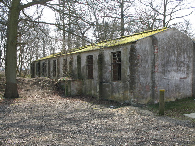
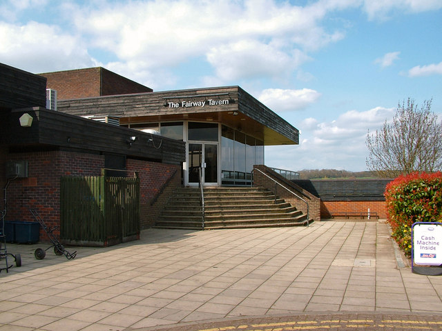
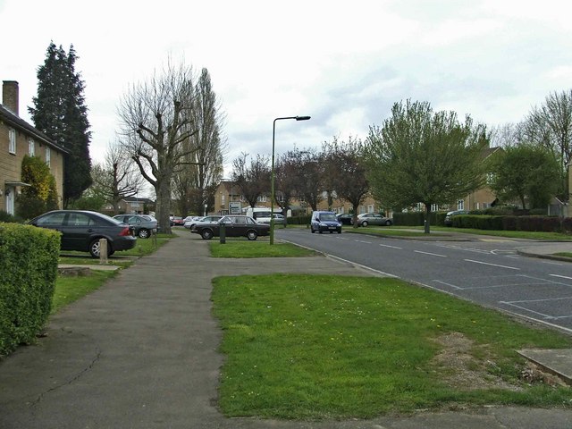
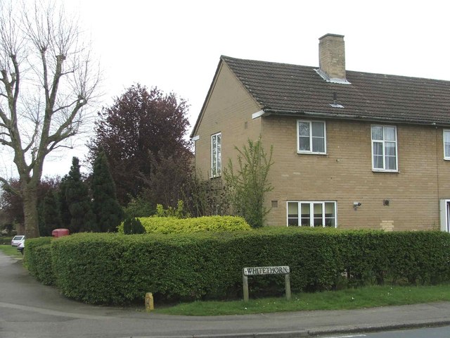
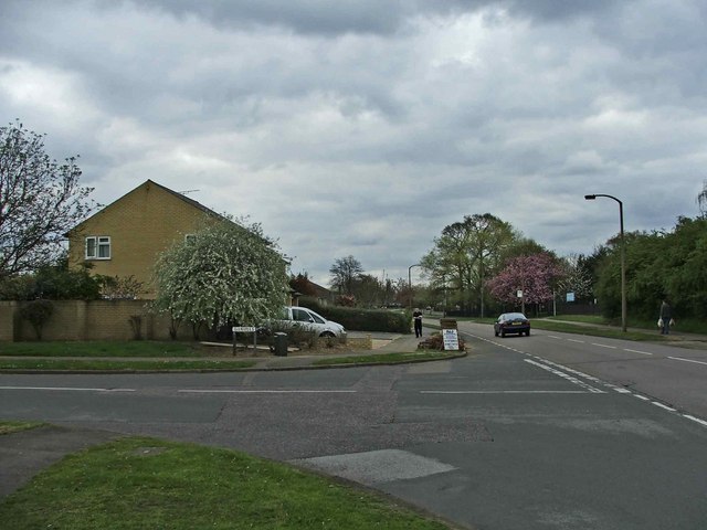
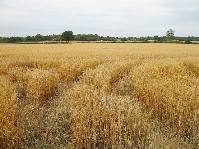
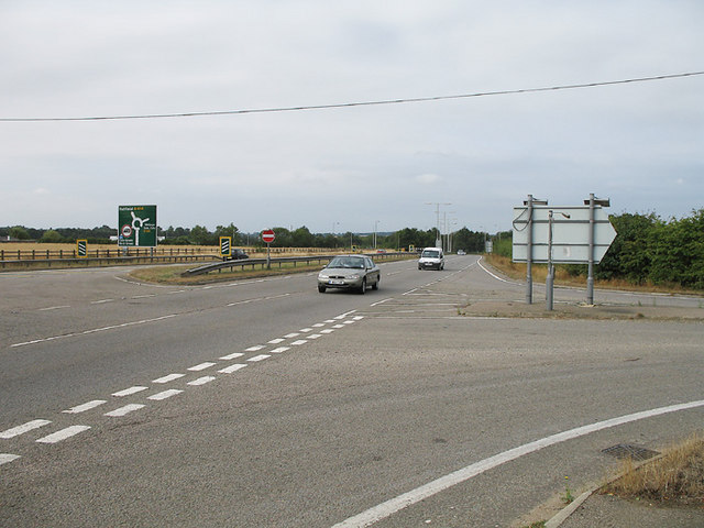
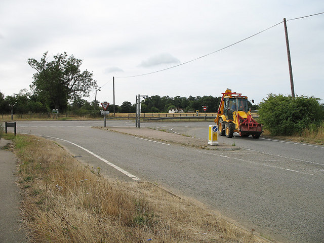
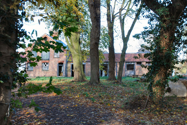
Blackthorn Wood Images
Images are sourced within 2km of 51.79145/-0.16605436 or Grid Reference TL2611. Thanks to Geograph Open Source API. All images are credited.


Blackthorn Wood is located at Grid Ref: TL2611 (Lat: 51.79145, Lng: -0.16605436)
Administrative County: Hertfordshire
District: Welwyn Hatfield
Police Authority: Hertfordshire
What 3 Words
///plan.tigers.verge. Near Welwyn Garden City, Hertfordshire
Nearby Locations
Related Wikis

Hatfield Hyde Halt railway station
Hatfield Hyde Halt was a halt-layout railway station. The station was part of the Hertford and Welwyn Junction Railway, near the garden city of Welwyn...
The Commons, Welwyn Garden City
The Commons is 13.2 hectare Local Nature Reserve in Welwyn Garden City in Hertfordshire. It is owned and managed by Welwyn Hatfield Borough Council.The...
Attimore Hall Halt railway station
Attimore Hall Halt was a halt station on the Great Northern Railway in Hertfordshire, England. The station was built near what is now the town of Welwyn...

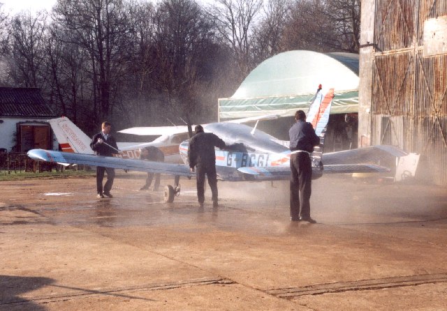
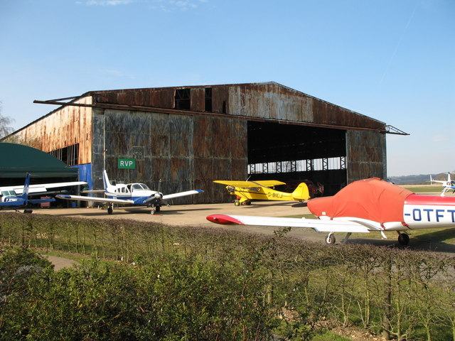
Panshanger Aerodrome
Panshanger Aerodrome (ICAO: EGLG) was a former general aviation aerodrome located on the most eastern tip of Welwyn Garden City, Hertfordshire, England...
Digswell Arts Trust
Digswell Arts Trust was the brainchild of Henry Morris, a pioneering educationalist. Through his enthusiasm, dedication and influence he persuaded the...
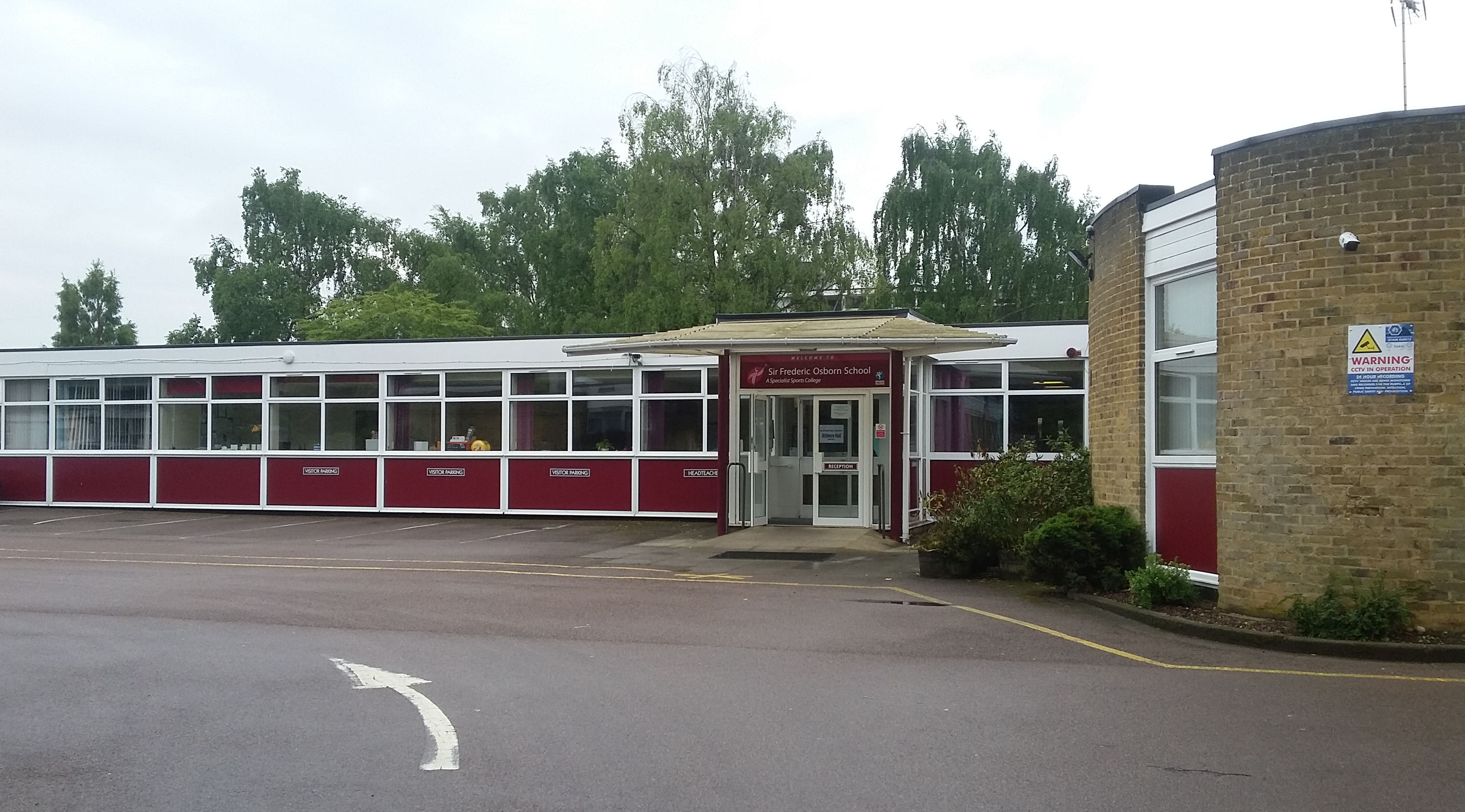
Ridgeway Academy
Ridgeway Academy, formerly Sir Frederic Osborn School ("Sir Freds"), which itself was formed by the merging in 1968 of Attimore Hall School (secondary...
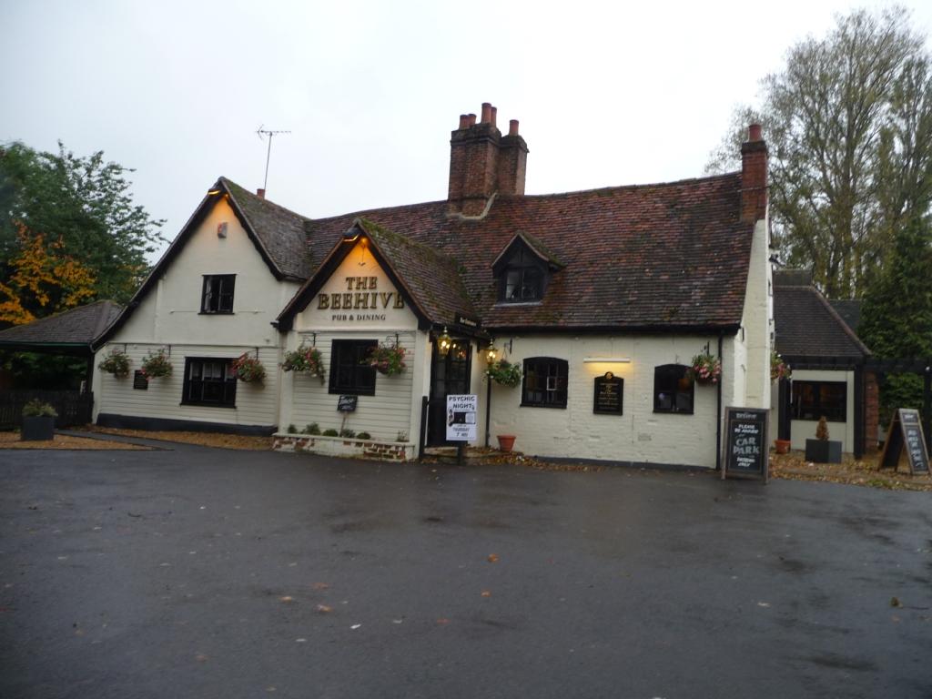
The Beehive, Welwyn Garden City
The Beehive is a grade II listed public house in Beehive Lane, Welwyn Garden City, in Hertfordshire. The building dates from around the early seventeenth...

Cole Green, Hertfordshire
Cole Green is a hamlet in Hertfordshire, England. It is 1 mile (1.6 km) south-east of Welwyn Garden City just off the A414. It is in the Hertingfordbury...
Nearby Amenities
Located within 500m of 51.79145,-0.16605436Have you been to Blackthorn Wood?
Leave your review of Blackthorn Wood below (or comments, questions and feedback).