Ridlins Wood

Wood, Forest in Hertfordshire Stevenage

England

Ridlins Wood

Hydean Way Shops Typical of local shops in Stevenage new town.  Above a parade of shops including a small supermarket, take away food outlet and Post Office there are maisonettes accessed from the rear.  To the right there are 2/3 bedroomed homes.
Hydean Way Shops Credit: Robin Hall

Ridlins Wood is a charming woodland located in Hertfordshire, England. The wood covers an area of approximately 20 acres, offering visitors a peaceful and serene escape from the bustling city life. It is situated near the town of Stevenage and is easily accessible for both locals and tourists.

The wood is predominantly composed of native broadleaf trees, including oak, beech, and birch, which create a stunning canopy of foliage throughout the year. This diverse mix of trees provides a rich habitat for a wide range of wildlife, including birds, mammals, and insects.

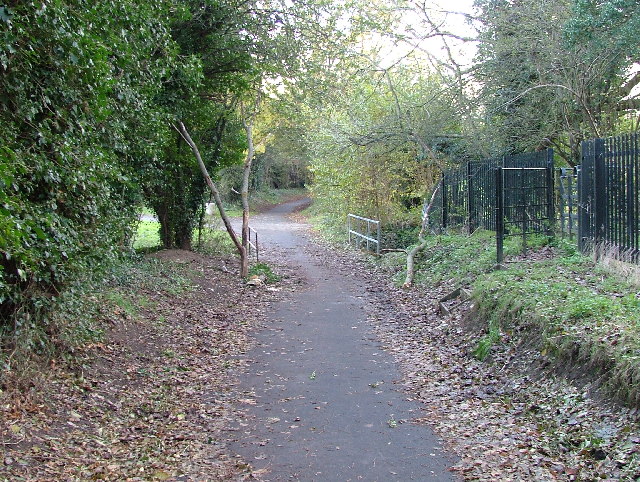
A network of well-maintained footpaths runs through the wood, allowing visitors to explore and appreciate the natural beauty of the surroundings. These paths are suitable for walkers of all abilities and are often used by locals for recreational activities such as jogging and dog walking.

Ridlins Wood is also home to a number of picnic areas, making it a popular destination for families and groups looking to enjoy a day out in nature. The tranquil atmosphere and picturesque scenery make it an ideal spot for relaxation and unwinding.

Managed by the local council, Ridlins Wood is carefully preserved to protect its ecological importance and maintain its beauty for future generations. The wood is open year-round, and admission is free, providing an accessible and affordable outdoor experience for all. Whether you are a nature enthusiast, wildlife lover, or simply seeking a peaceful retreat, Ridlins Wood offers a delightful escape into nature's embrace.

If you have any feedback on the listing, please let us know in the comments section below.
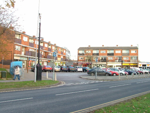
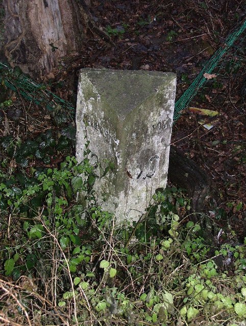
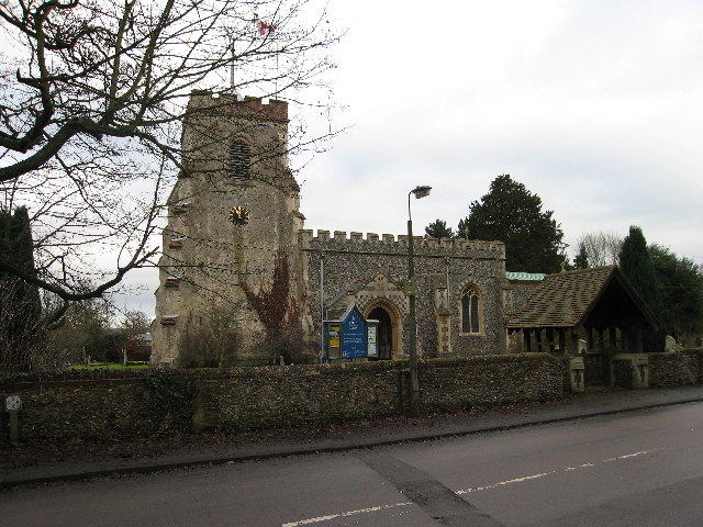
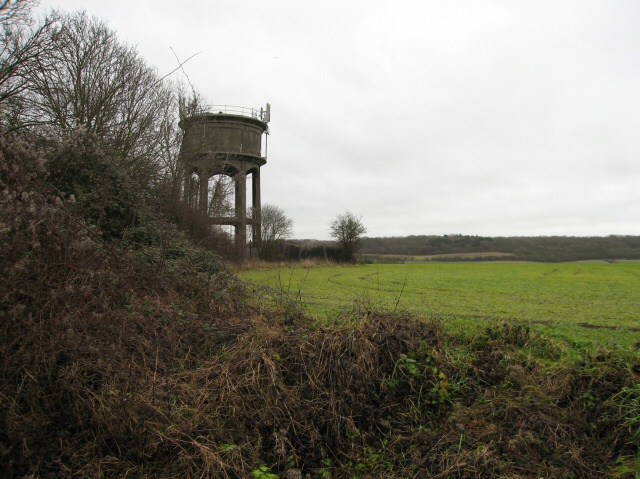
Ridlins Wood Images

Images are sourced within 2km of 51.886624/-0.16568479 or Grid Reference TL2622. Thanks to Geograph Open Source API. All images are credited.

Hydean Way Shops Typical of local shops in Stevenage new town.  Above a parade of shops including a small supermarket, take away food outlet and Post Office there are maisonettes accessed from the rear.  To the right there are 2/3 bedroomed homes.
Hydean Way Shops
Typical of local shops in Stevenage new town. Above a parade of shops including a small supermarket, take away food outlet and Post Office there are maisonettes accessed from the rear. To the right there are 2/3 bedroomed homes.
Stevenage Borough FC Taken from the club's car park across the Hertford Road.
Stevenage Borough FC
Taken from the club's car park across the Hertford Road.
Parishes Mead. Parishes mead is a newer development on the east side of Stevenage.  There is a mixture of private and social housing here.
Parishes Mead.
Parishes mead is a newer development on the east side of Stevenage. There is a mixture of private and social housing here.
Harwood Park Crematorium. I took this photograph just before attending a funeral here.  Note the blue sky.  Within 20 minutes the sky was black, it started thundering and hailing - just as the congregation started on "morning has broken".  Just like a scene from "The Exorsist or The Omen.
Harwood Park Crematorium.
I took this photograph just before attending a funeral here. Note the blue sky. Within 20 minutes the sky was black, it started thundering and hailing - just as the congregation started on "morning has broken". Just like a scene from "The Exorsist or The Omen.
Ridlins Athletics Track This photo of the Ridlins Athletics track shows the west corner and the Bert Hill stand.  The back of the stand has space for community groups such as playgroups.
Ridlins Athletics Track
This photo of the Ridlins Athletics track shows the west corner and the Bert Hill stand. The back of the stand has space for community groups such as playgroups.
Football pitches These are to the north west of the running track.
Football pitches
These are to the north west of the running track.
Footbridge over Stevenage Brook. This footpath runs parallel to and within 30 yards of the main Stevenage - Hertford Road.
Footbridge over Stevenage Brook.
This footpath runs parallel to and within 30 yards of the main Stevenage - Hertford Road.
Shops in Kenilworth Close. Supermarket, newsagent, Chinese takeaway and alternative therapist.
Shops in Kenilworth Close.
Supermarket, newsagent, Chinese takeaway and alternative therapist.
Church of St Peter, Broadwater. One of a series of three photos taken from within a couple of hundred yards of each other.  Church shops and flats.  A whole community?
Church of St Peter, Broadwater.
One of a series of three photos taken from within a couple of hundred yards of each other. Church shops and flats. A whole community?
Flats on Broadwater Avenue Most housing in this area consists of two storey houses but there are a number of blocks of flats like this.
Flats on Broadwater Avenue
Most housing in this area consists of two storey houses but there are a number of blocks of flats like this.
Broadwater Avenue shops Very busy local shops in the same style as several other Stevenage neighbourhood centres.
Broadwater Avenue shops
Very busy local shops in the same style as several other Stevenage neighbourhood centres.
Longmeadow Evangelical Church Many of Stevenage's churche seem to thrive and this is one of them.
Longmeadow Evangelical Church
Many of Stevenage's churche seem to thrive and this is one of them.
Neglected milestone Well.  That will be er um miles to aaah hmm, and um er miles  to aaaaah.  Yes well it's probably a long way anyway.
Neglected milestone
Well. That will be er um miles to aaah hmm, and um er miles to aaaaah. Yes well it's probably a long way anyway.
St Mary's Church, Aston The church is built of flint with stone dressings on the nave and chancel and the roofs are covered with copper.
St Mary's Church, Aston
The church is built of flint with stone dressings on the nave and chancel and the roofs are covered with copper.
Aston Water Tower The Water Tower and surrounding countryside from the lane to Aston End
Aston Water Tower
The Water Tower and surrounding countryside from the lane to Aston End
The Crown, Aston End
St Marys, Shephall St Mary's Shephall is a lovely little old church in the middle of a sprawl of 20th century buildings.
St Marys, Shephall
St Mary's Shephall is a lovely little old church in the middle of a sprawl of 20th century buildings.
Shephalbury Park Primary School. This small area of Stevenage is stuffed with schools of all sizes and ages.
Shephalbury Park Primary School.
This small area of Stevenage is stuffed with schools of all sizes and ages.
Show me another place!

Ridlins Wood is located at Grid Ref: TL2622 (Lat: 51.886624, Lng: -0.16568479)

Administrative County: Hertfordshire

District: Stevenage

Police Authority: Hertfordshire

What 3 Words

///lyricism.patrolled.depth. Near Knebworth, Hertfordshire

Nearby Locations

Ridlins Wood Loves Wood

Related Wikis

Ridlins Mire

Ridlins Mire is a 1.6-hectare (4.0-acre) nature reserve managed by the Herts and Middlesex Wildlife Trust in Stevenage, Hertfordshire, England.This wetland...

Stevenage (UK Parliament constituency)

Stevenage is a constituency in Hertfordshire represented in the House of Commons of the UK Parliament since 2010 by Stephen McPartland, a member of the...

Barnwell School

Barnwell School is a coeducational secondary school and sixth form that was established in 1959 and is situated in the south of Stevenage, Hertfordshire...

Shephall

Shephall (SHEP-all) is a neighbourhood of the new town of Stevenage in Hertfordshire. It was formerly a separate village and parish, being absorbed into...

Nearby Amenities

Located within 500m of 51.886624,-0.16568479
Exit To: (A1(M));Town Centre
Lat/Long: 51.885185/-0.1669114
Crossing
Crossing: unmarked
Crossing Island: no
Kerb: flush
Tactile Paving: no
Lat/Long: 51.8841481/-0.163482
Crossing
Crossing: unmarked
Crossing Island: no
Kerb: lowered
Tactile Paving: no
Lat/Long: 51.8880697/-0.1598997
Bus Stop
Longmeadow Centre
Bench: yes
Bin: yes
Lit: yes
Naptan AtcoCode: 210021201320
Naptan Bearing: N
Naptan CommonName: Longmeadow Centre
Naptan Crossing: Park View
Naptan Indicator: opp
Naptan Landmark: Park View
Naptan NaptanCode: hrtgadpw
Naptan PlusbusZoneRef: STEVNGE
Naptan ShortCommonName: NA
Naptan Street: Oaks Cross
Naptan Verified: no
Shelter: yes
Source: naptan_import
Tactile Paving: yes
Lat/Long: 51.8844689/-0.1716962
Bus Stop
Oakwood Close
Bench: yes
Bin: yes
Lit: yes
Naptan AtcoCode: 210021201340
Naptan Bearing: NE
Naptan CommonName: Oakwood Close
Naptan Crossing: Loves Wood
Naptan Indicator: opp
Naptan Landmark: Loves Wood
Naptan NaptanCode: hrtgadta
Naptan PlusbusZoneRef: STEVNGE
Naptan ShortCommonName: NA
Naptan Street: Shephall Way
Naptan Verified: no
Shelter: yes
Source: naptan_import
Tactile Paving: yes
Lat/Long: 51.8891341/-0.1692688
Bus Stop
Woodcock Road
Bench: yes
Bin: no
Lit: yes
Naptan AtcoCode: 210021201520
Naptan Bearing: NE
Naptan CommonName: Woodcock Road
Naptan Crossing: Ridlins Wood Playing Field
Naptan Indicator: adj
Naptan Landmark: Ridlins Wood Playing Field
Naptan NaptanCode: hrtgadmg
Naptan PlusbusZoneRef: STEVNGE
Naptan ShortCommonName: NA
Naptan Street: Gresley Way
Naptan Verified: no
Shelter: yes
Source: naptan_import
Tactile Paving: no
Lat/Long: 51.8875892/-0.160162
Bus Stop
Oakwood Close
Bench: yes
Bin: yes
Lit: yes
Naptan AtcoCode: 210021203320
Naptan Bearing: SW
Naptan CommonName: Oakwood Close
Naptan Crossing: Ridlins Wood
Naptan Indicator: adj
Naptan Landmark: Ridlins Wood
Naptan NaptanCode: hrtdwmdg
Naptan PlusbusZoneRef: STEVNGE
Naptan ShortCommonName: NA
Naptan Street: Shephall Way
Naptan Verified: no
Shelter: yes
Source: naptan_import
Tactile Paving: yes
Lat/Long: 51.8889712/-0.1692028
Bus Stop
Longmeadow Centre
Bench: yes
Bin: yes
Lit: yes
Naptan AtcoCode: 210021203340
Naptan Bearing: S
Naptan CommonName: Longmeadow Centre
Naptan Crossing: Broadwater Lane/The Pied Piper
Naptan Indicator: adj
Naptan Landmark: Broadwater Lane/The Pied Piper
Naptan NaptanCode: hrtdwmdj
Naptan PlusbusZoneRef: STEVNGE
Naptan ShortCommonName: NA
Naptan Street: Oaks Cross
Naptan Verified: no
Shelter: yes
Source: naptan_import
Tactile Paving: yes
Lat/Long: 51.8843941/-0.1715103
Crossing: informal
Lat/Long: 51.8893809/-0.1690061
Post Box
Brand: Royal Mail
Brand Wikidata: Q638098
Collection Times: Mo-Fr 17:30; Sa 12:15
Operator: Royal Mail
Operator Wikidata: Q638098
Post Box Design: type_k
Post Box Type: pillar
Ref: SG2 316
Royal Cypher: EIIR
Royal Cypher Wikidata: Q33102113
Lat/Long: 51.8849284/-0.1709806
Barrier: kissing_gate
Foot: yes
Lat/Long: 51.8830583/-0.16396
Barrier: kissing_gate
Foot: yes
Lat/Long: 51.8830385/-0.1643337
Traffic Calming: island
Lat/Long: 51.8846441/-0.1629152
Post Office
Longmeadow Post Office
Addr City: Stevenage
Addr Housenumber: 126
Addr Postcode: SG2 8LU
Addr Street: Oaks Cross
Operator: Premier
Ref Pol Id: 663
Shop: post_office,_supermarket,_grocery,_off-license
Source: survey;pol_branch_list_2022‑05‑27
Lat/Long: 51.8850033/-0.1709845
Bench
Backrest: yes
Lat/Long: 51.889038/-0.1677874
Bench
Backrest: yes
Lat/Long: 51.8879584/-0.1656341
Waste Basket
Lat/Long: 51.8867339/-0.1682697
Waste Basket
Lat/Long: 51.8862166/-0.1679827
Waste Basket
Lat/Long: 51.8889634/-0.1692112
Waste Basket
Lat/Long: 51.8891162/-0.1693118
Traffic Calming: island
Lat/Long: 51.8846011/-0.1632163
Traffic Calming: island
Lat/Long: 51.8844365/-0.1631639
Traffic Calming: island
Lat/Long: 51.8844583/-0.1628745
Waste Basket
Lat/Long: 51.8889196/-0.1594992
Waste Basket
Lat/Long: 51.8829658/-0.1665015
Crossing
Crossing: uncontrolled
Crossing Island: no
Crossing Ref: zebra
Kerb: flush
Tactile Paving: yes
Traffic Calming: table
Lat/Long: 51.8839741/-0.171451
Waste Basket
Lat/Long: 51.8839394/-0.1715259
Waste Basket
Lat/Long: 51.8845329/-0.1714186
Waste Basket
Lat/Long: 51.8843334/-0.1714562
Waste Basket
Lat/Long: 51.8844311/-0.1716788
Crossing
Crossing: uncontrolled
Crossing Island: no
Crossing Ref: zebra
Kerb: flush
Tactile Paving: yes
Traffic Calming: table
Lat/Long: 51.8847697/-0.1715715
Traffic Calming: cushion
Lat/Long: 51.8852152/-0.1715145
Waste Basket
Lat/Long: 51.8853201/-0.1713744
Traffic Calming: cushion
Lat/Long: 51.885901/-0.1712743
Waste Basket
Lat/Long: 51.8865245/-0.171082
Waste Basket
Lat/Long: 51.8869136/-0.1706958
Maxheight: 2.1 m
Lat/Long: 51.8890858/-0.1625651
Waste Basket
Lat/Long: 51.8887362/-0.1616018
Barrier: bollard
Bollard: fixed
Lat/Long: 51.8866355/-0.1711616
Waste Basket
Lat/Long: 51.8829799/-0.1694834
Ridlins Wood
Board Type: nature
Information: board
Tourism: information
Lat/Long: 51.8892925/-0.1688692
Loves Wood
Board Type: nature
Information: board
Tourism: information
Lat/Long: 51.888872/-0.169462
Barrier: cycle_barrier
Lat/Long: 51.889944/-0.1628762
Barrier: bollard
Bollard: fixed
Lat/Long: 51.8867276/-0.1681611
Barrier: entrance
Foot: yes
Material: metal
Lat/Long: 51.8906484/-0.1628282
Waste Basket
Lat/Long: 51.890631/-0.1628726
Waste Basket
Lat/Long: 51.8852362/-0.1657849
Waste Basket
Lat/Long: 51.8863322/-0.1638312
Bench
Backrest: yes
Lat/Long: 51.887935/-0.1640459
The data included in this document is from www.openstreetmap.org. The data is made available under ODbL.

Have you been to Ridlins Wood?

Leave your review of Ridlins Wood below (or comments, questions and feedback).