Pinker Wood
Wood, Forest in Hertfordshire North Hertfordshire
England
Pinker Wood
Pinkney Wood is a charming and picturesque forest located in the county of Hertfordshire, England. Spanning over an area of approximately 100 acres, this woodland is a haven for nature enthusiasts and outdoor adventurers alike. It is situated near the village of Pinkney, which lends its name to the woodland.
The wood is predominantly composed of native broadleaf trees, such as oak, beech, and birch, which create a rich and diverse ecosystem. The dense canopy of the old-growth trees provides shelter and food for a variety of wildlife, including deer, foxes, badgers, and numerous bird species.
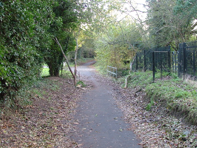
Visitors to Pinkney Wood can enjoy a network of well-maintained trails that wind through the forest, offering opportunities for leisurely walks, jogging, and hiking. The paths are relatively easy to navigate, making the wood accessible to individuals of all fitness levels. Along the way, visitors can admire the beauty of the woodland, with its dappled sunlight, vibrant wildflowers, and tranquil streams.
The wood is also home to a number of designated picnic areas, where visitors can enjoy a leisurely lunch surrounded by the sights and sounds of nature. Additionally, there are several clearings within the forest that are perfect for camping and nature-watching activities.
Pinkney Wood is a popular destination for nature lovers seeking respite from the hustle and bustle of everyday life. Its serene atmosphere and natural beauty make it an ideal place for relaxation, exploration, and connecting with the great outdoors.
If you have any feedback on the listing, please let us know in the comments section below.
Pinker Wood Images
Images are sourced within 2km of 51.867001/-0.17182844 or Grid Reference TL2520. Thanks to Geograph Open Source API. All images are credited.


Pinker Wood is located at Grid Ref: TL2520 (Lat: 51.867001, Lng: -0.17182844)
Administrative County: Hertfordshire
District: North Hertfordshire
Police Authority: Hertfordshire
What 3 Words
///career.cuts.fired. Near Knebworth, Hertfordshire
Nearby Locations
Related Wikis

Bragbury End
Bragbury End is a hamlet in Hertfordshire, England, and the location of Stevenage F.C.'s training ground.
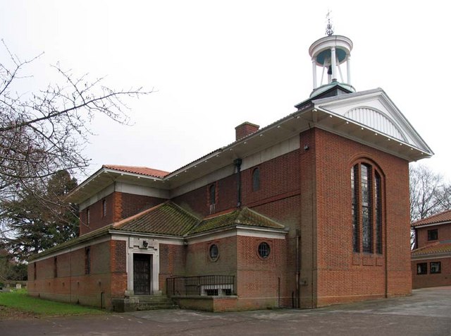
St Martin's Church, Knebworth
St Martin's Church is an active Anglican church in Knebworth, Hertfordshire, England. The building, which is designated grade II*, was designed by Edwin...

Knebworth
Knebworth is a village and civil parish in the north of Hertfordshire, England, immediately south of Stevenage. The civil parish covers an area between...
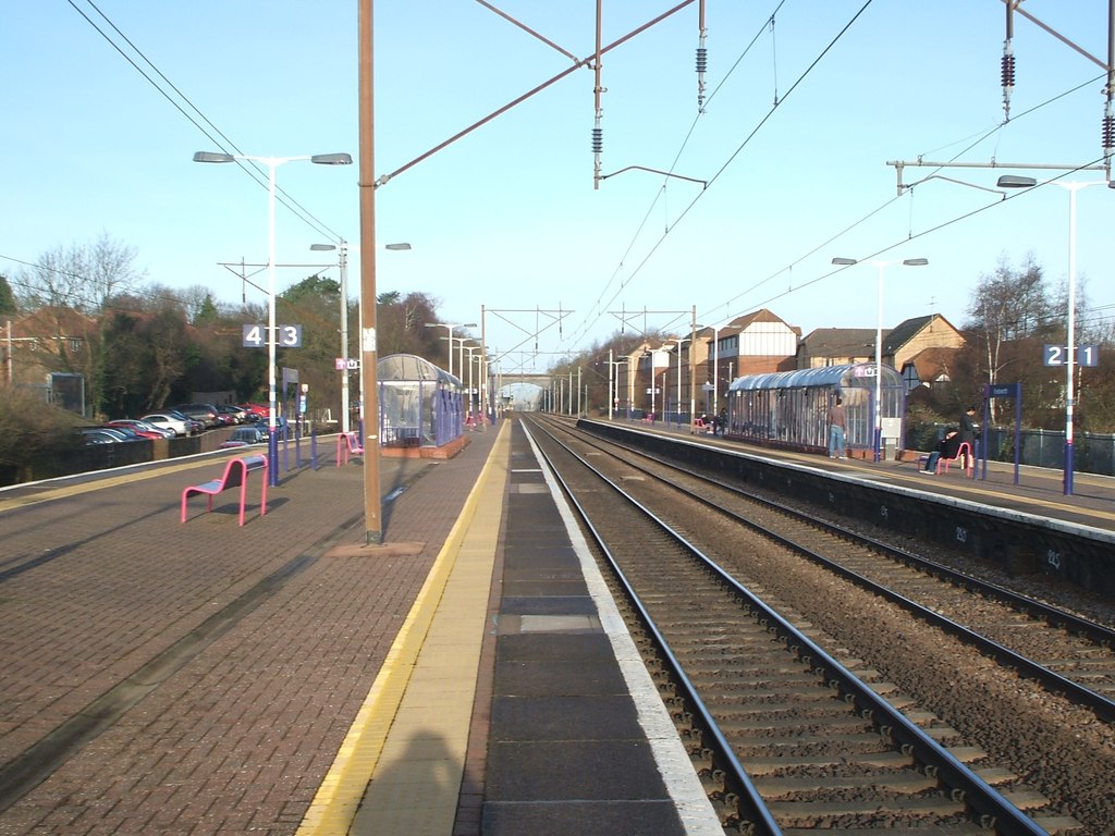
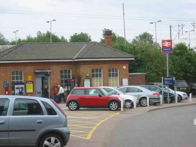
Knebworth railway station
Knebworth railway station serves the village of Knebworth in Hertfordshire, England. It is 25 miles 3 chains (25.04 miles, 40.29 km) from London King's...

Marx Memorial Library
The Marx Memorial Library in London, United Kingdom is a library, archive, educational, and community outreach charity focused on Marxist and wider socialist...

Datchworth
Datchworth is a village and civil parish between the towns of Hertford, Stevenage and Welwyn Garden City in the county of Hertfordshire, England. Sited...

A602 road
The A602 is a road linking Hitchin in Hertfordshire, England, with A10 at Ware in Hertfordshire, via Stevenage. The course of the road has changed significantly...

Woolmer Green
Woolmer Green is a small village and civil parish in Hertfordshire, England. The 2011 census figure for the population (from the Office for National Statistics...
Related Videos

Trip to # Cornwall # U.K.
My Foreignoy Husband Keith mason # Cornwall # U.K..

Knebworth Circular Walk | Walks Near London | Olympus E M5 Mk III Vlog | Cool Dudes Walking Club
swcwalks #walk353 Marek Larwood goes on the Knebworth Circular walk from the Saturday Walker's Club Website. The walk ...

Mardley Heath near Knebworth. UK. Virtual Walk 1.9 miles.
A lovely morning walk I recorded as a virtual walk around the woods and fields at Mardley Heath near Knebworth on 16th April ...

Berkeley Close Road
Berkeley Close Broadwater Stevenage UK.
Nearby Amenities
Located within 500m of 51.867001,-0.17182844Have you been to Pinker Wood?
Leave your review of Pinker Wood below (or comments, questions and feedback).