Brockley Wood
Wood, Forest in Surrey Crawley
England
Brockley Wood

Brockley Wood is a picturesque woodland located in Surrey, England. Covering an area of approximately 200 acres, it is a cherished natural treasure. The wood is situated near the village of Brockley, and it offers a tranquil escape from the hustle and bustle of modern life.
Brockley Wood is known for its diverse range of tree species, including oak, beech, birch, and pine. These towering trees provide a dense canopy, creating a shaded and cool environment within the wood. The forest floor is adorned with a rich carpet of wildflowers, ferns, and mosses, adding to its enchanting atmosphere.
The wood is home to a plethora of wildlife, making it a haven for nature enthusiasts and birdwatchers. Visitors may encounter various bird species, such as woodpeckers, owls, and songbirds, as well as mammals like deer, squirrels, and rabbits. Additionally, the wood is inhabited by numerous insects, including butterflies and beetles.
Trails wind their way through the wood, allowing visitors to explore and appreciate its beauty. These paths offer stunning views of the surrounding countryside and provide an opportunity to immerse oneself in the peaceful ambiance of the woodland.
Brockley Wood is a popular destination for outdoor activities such as hiking, walking, and picnicking. Its natural beauty and serene atmosphere make it an ideal spot for relaxation and connecting with nature. The wood's accessibility and proximity to nearby villages make it a beloved destination for both locals and tourists seeking a natural retreat.
If you have any feedback on the listing, please let us know in the comments section below.
Brockley Wood Images
Images are sourced within 2km of 51.153373/-0.20239084 or Grid Reference TQ2540. Thanks to Geograph Open Source API. All images are credited.


Brockley Wood is located at Grid Ref: TQ2540 (Lat: 51.153373, Lng: -0.20239084)
Administrative County: West Sussex
District: Crawley
Police Authority: Sussex
What 3 Words
///fire.head.edges. Near Langley Green, West Sussex
Nearby Locations
Related Wikis
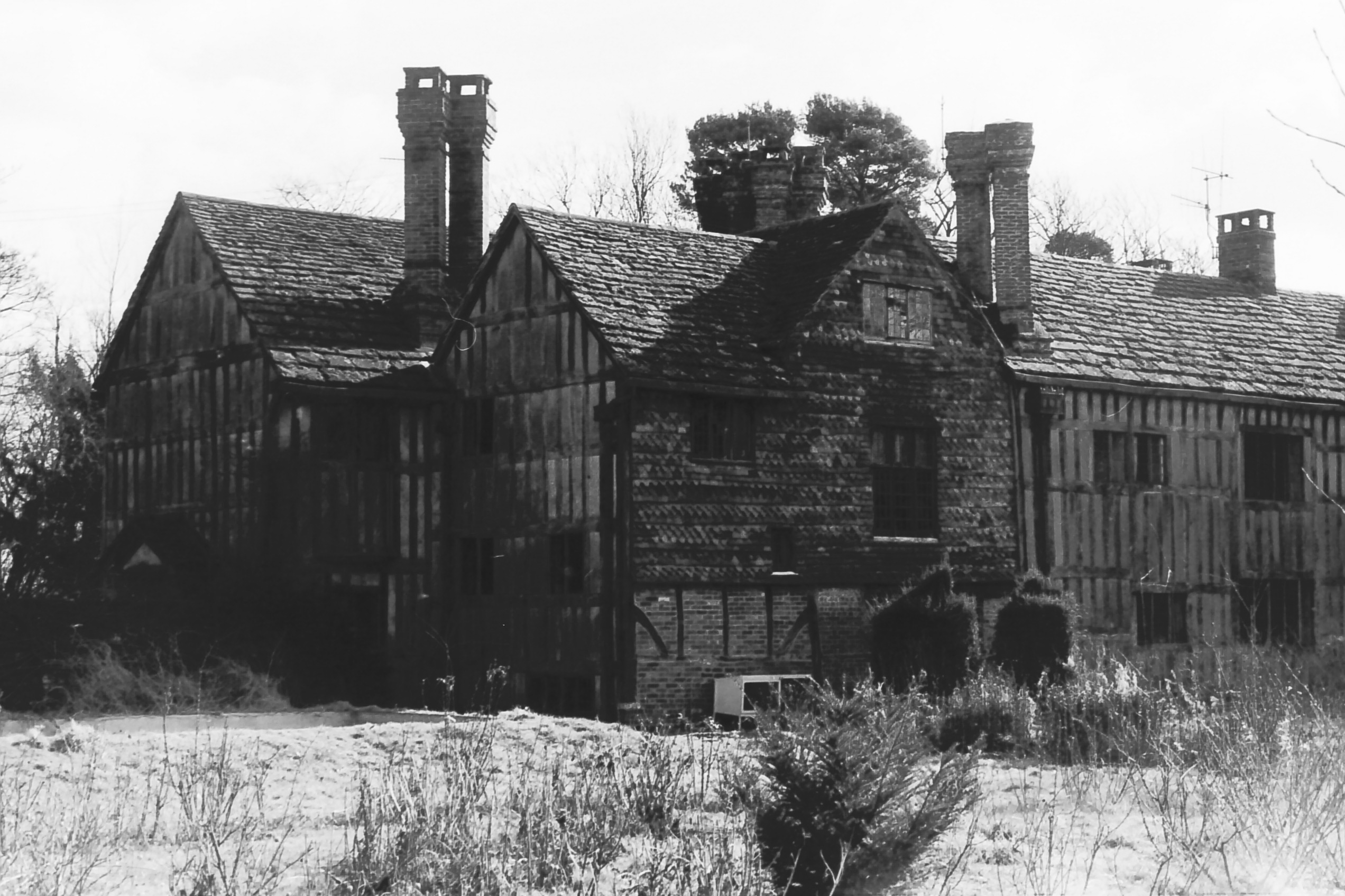
Charlwood House
Charlwood House is an early 17th-century timber-framed country house in Lowfield Heath, Crawley, West Sussex, England. It is a Grade II* listed building...
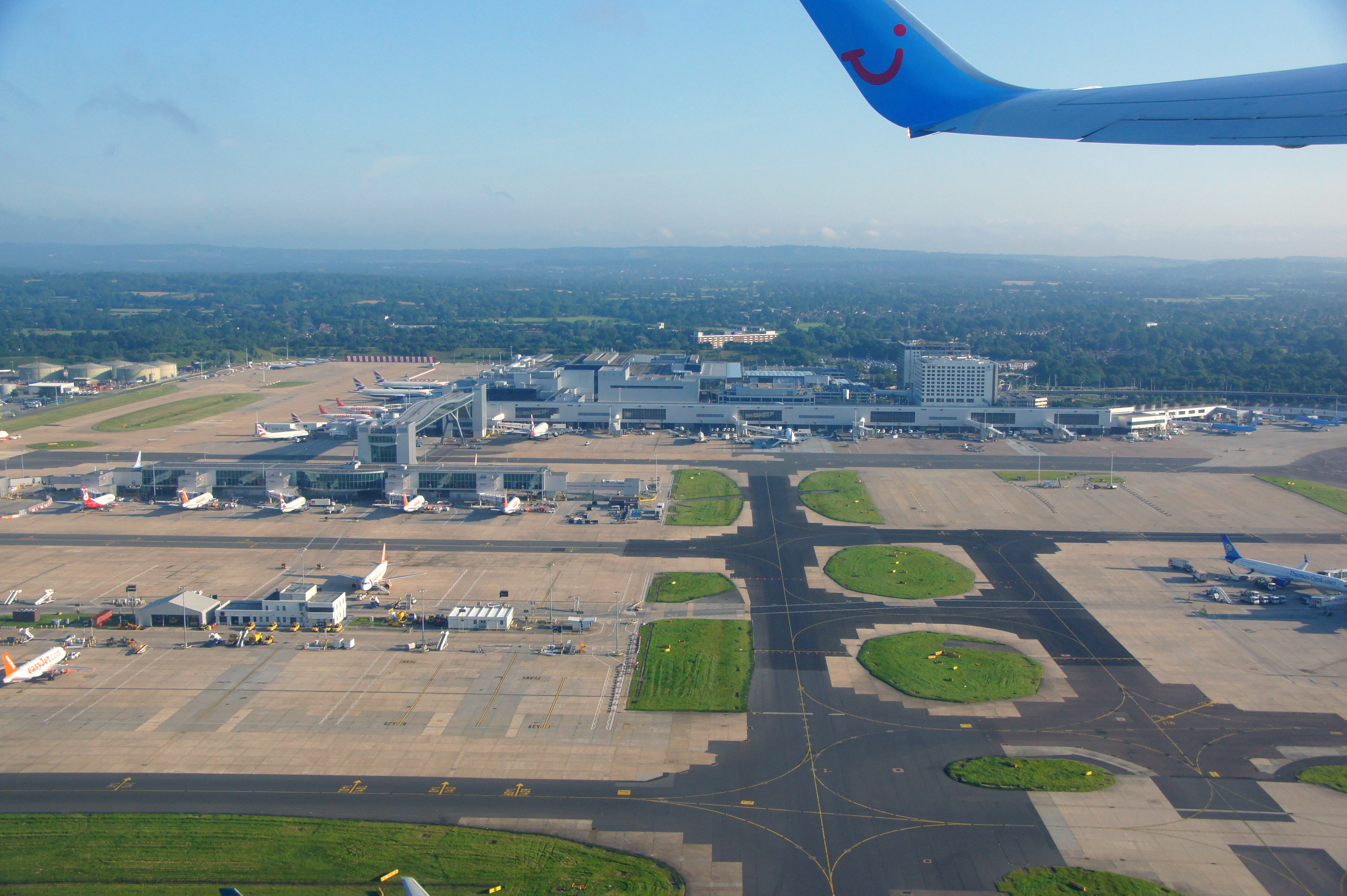
Gatwick Airport drone incident
Between 19 and 21 December 2018, hundreds of flights were cancelled at Gatwick Airport near London, England, following reports of drone sightings close...
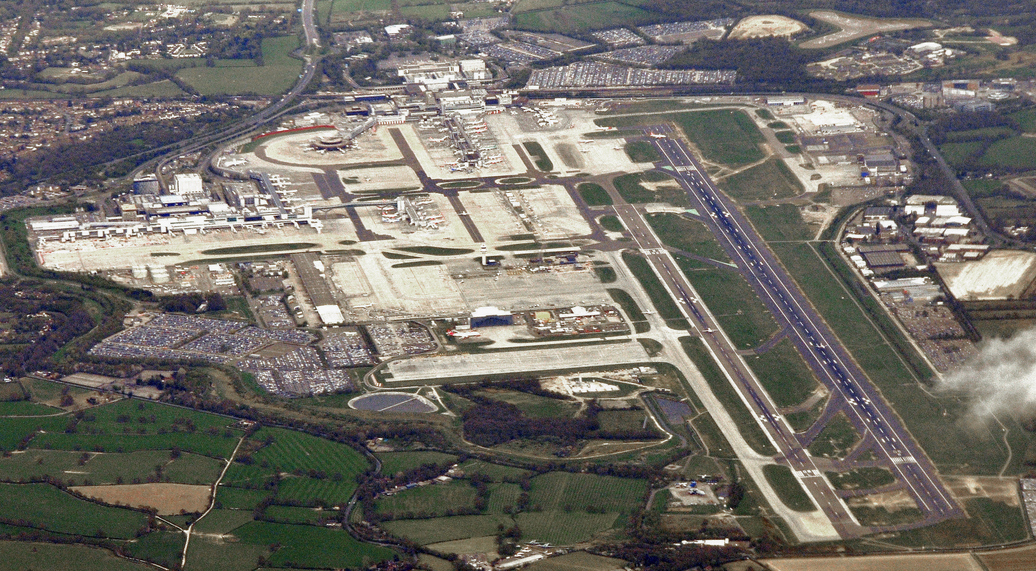
Gatwick Airport
London Gatwick (), also known as Gatwick Airport (IATA: LGW, ICAO: EGKK), is the secondary international airport serving London, England, United Kingdom...

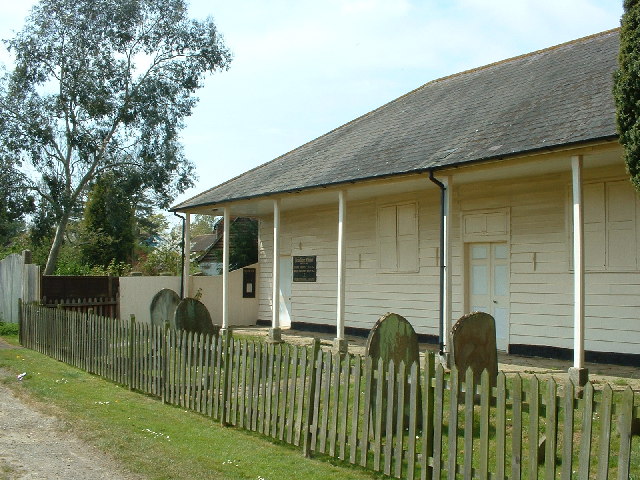
Gatwick Aviation Museum
The Gatwick Aviation Museum is located in the village of Charlwood, in Surrey, United Kingdom on the boundary of Gatwick Airport. == History == Originally...

Langley Green & West Green (electoral division)
Langley Green & West Green is an electoral division of West Sussex in the United Kingdom, and returns one member to sit on West Sussex County Council....

Brook House Immigration Removal Centre
Brook House Immigration Removal Centre is a privately managed detention centre, operated by Serco on behalf of Home Office. The facility is situated in...
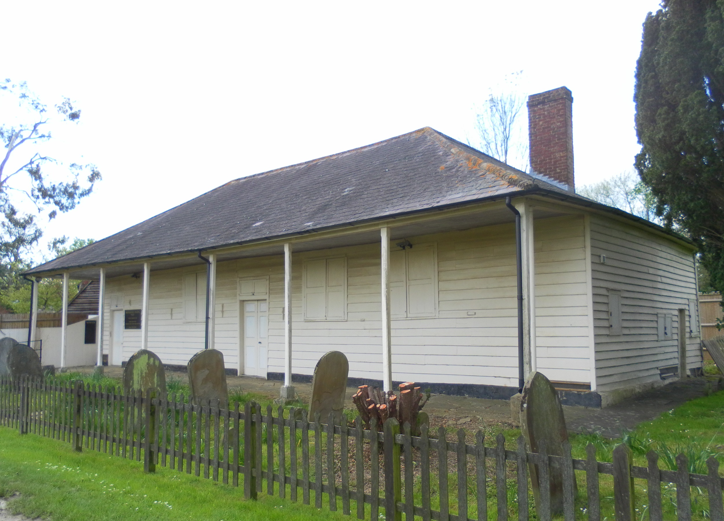
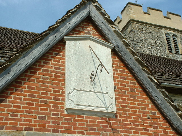
Providence Chapel, Charlwood
Providence Chapel (founded as Charlwood Union Chapel) is a former Nonconformist place of worship in the village of Charlwood in the English county of Surrey...
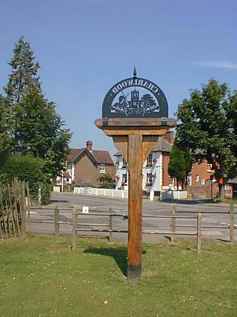
Charlwood
Charlwood is a village and civil parish in the Mole Valley district of Surrey, England. It is immediately northwest of London Gatwick Airport in West Sussex...
Nearby Amenities
Located within 500m of 51.153373,-0.20239084Have you been to Brockley Wood?
Leave your review of Brockley Wood below (or comments, questions and feedback).