Banovallum Carr
Wood, Forest in Lincolnshire East Lindsey
England
Banovallum Carr

Banovallum Carr is a wooded area located in Lincolnshire, England. Covering approximately 500 acres, it is known for its picturesque landscapes and dense forests. The name "Carr" refers to a type of wetland characterized by peat soils and waterlogged conditions, which are prevalent in this area. The woodlands of Banovallum Carr are home to a variety of native tree species, including oak, ash, birch, and beech, creating a diverse and vibrant ecosystem.
The natural beauty of Banovallum Carr attracts nature enthusiasts and outdoor enthusiasts alike. The woodland provides habitat for various wildlife species, such as deer, foxes, badgers, and a wide range of bird species, making it a popular destination for birdwatching and wildlife spotting. Many visitors also enjoy exploring the numerous walking trails that wind through the woods, allowing them to immerse themselves in the tranquility and beauty of the surroundings.
In addition to its ecological significance, Banovallum Carr holds historical importance. The woodland is believed to have been part of the ancient Bardney Abbey's estate, dating back to the medieval period. Archaeological evidence suggests that the area has been inhabited for centuries, with remnants of ancient settlements and burial mounds found within its boundaries.
Overall, Banovallum Carr in Lincolnshire offers a serene and enchanting experience for nature lovers, history enthusiasts, and anyone seeking a peaceful escape into the heart of nature. Its rich biodiversity, picturesque landscapes, and historical significance make it a valuable natural asset in the region.
If you have any feedback on the listing, please let us know in the comments section below.
Banovallum Carr Images
Images are sourced within 2km of 53.200319/-0.11858462 or Grid Reference TF2568. Thanks to Geograph Open Source API. All images are credited.


Banovallum Carr is located at Grid Ref: TF2568 (Lat: 53.200319, Lng: -0.11858462)
Administrative County: Lincolnshire
District: East Lindsey
Police Authority: Lincolnshire
What 3 Words
///chapters.coverings.broken. Near Horncastle, Lincolnshire
Nearby Locations
Related Wikis
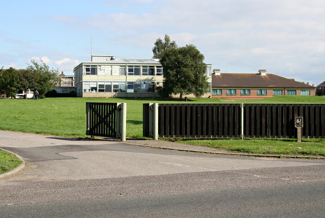
Banovallum School
The Banovallum School is a co-educational secondary school located in Horncastle, Lincolnshire, England. == History == The school was built in the early...

Cagthorpe
Cagthorpe is suburb of the town of Horncastle, Lincolnshire, England. It is south of, and separated from, the historic town centre by the re-aligned River...

River Waring
The River Waring is a small river in Lincolnshire, England, and a tributary of the River Bain. The Waring rises in the parish of Belchford and runs through...

Horncastle railway station
Horncastle railway station was a station in Horncastle, Lincolnshire, England. It was at the end of a short branch line that ran from Woodhall Junction...

St Mary's Church, Horncastle
St. Mary's Church, Horncastle, Lincolnshire, England, dates from the early 13th century and is dedicated to Saint Mary. It serves the Ecclesiastical Parish...
Horncastle
Horncastle is a market town and civil parish in the East Lindsey district in Lincolnshire, England. It is 17 miles (27 km) east of Lincoln. Its population...
Queen Elizabeth's Grammar School, Horncastle
Queen Elizabeth's Grammar School, Horncastle, is a co-educational grammar school with academy status in Horncastle, Lincolnshire, England. In 2009, there...

A158 road
The A158 road is a major route that heads from Lincoln in the west to Skegness on the east coast. The road is located entirely in the county of Lincolnshire...
Nearby Amenities
Located within 500m of 53.200319,-0.11858462Have you been to Banovallum Carr?
Leave your review of Banovallum Carr below (or comments, questions and feedback).