Bygrave Plantation
Wood, Forest in Hertfordshire North Hertfordshire
England
Bygrave Plantation

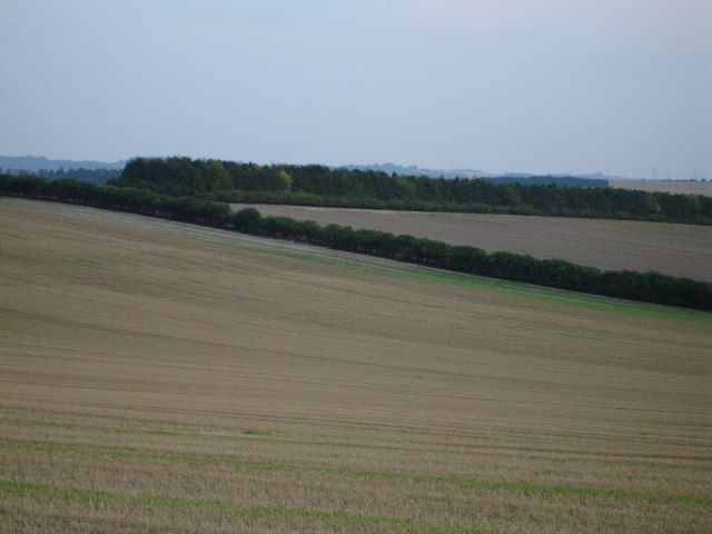
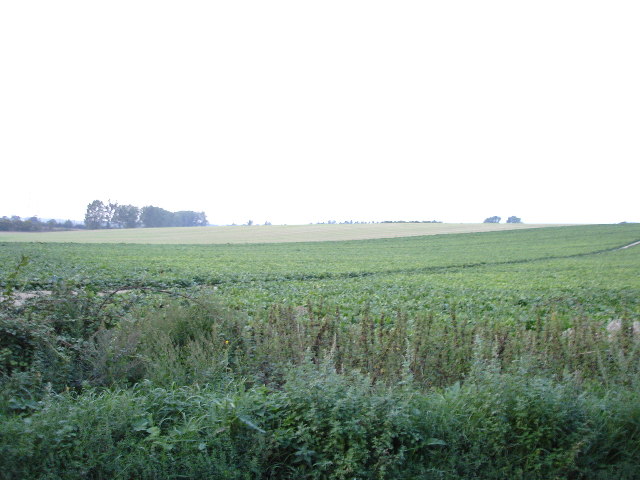
Bygrave Plantation is a picturesque woodland located in Hertfordshire, England. Covering an area of approximately 200 acres, it is a stunning natural haven that offers a diverse range of flora and fauna. The plantation is nestled within the wider Bygrave estate and is managed by the Woodland Trust, a renowned conservation charity.
The woodland is primarily composed of broadleaf trees, including oak, beech, and ash, which create a vibrant canopy during the summer months. Underneath the towering trees, a rich understory of shrubs, ferns, and wildflowers can be found, adding to the overall beauty of the plantation.
The Bygrave Plantation is a haven for wildlife, providing a habitat for a wide range of species. Birdwatchers can spot various woodland birds such as woodpeckers, thrushes, and owls. Mammals like foxes, badgers, and deer can also be spotted, making it a popular destination for nature enthusiasts and photographers.
The plantation features well-maintained footpaths and trails, allowing visitors to explore the woodland at their leisure. Additionally, the Woodland Trust organizes guided walks and educational events, providing an opportunity for people to learn about the importance of woodland conservation and management.
Bygrave Plantation is not only a place of natural beauty but also serves as an important site for carbon sequestration and flood mitigation. It plays a vital role in maintaining the local ecosystem and provides a peaceful and tranquil setting for visitors to enjoy the wonders of nature.
If you have any feedback on the listing, please let us know in the comments section below.
Bygrave Plantation Images
Images are sourced within 2km of 52.015602/-0.16960939 or Grid Reference TL2536. Thanks to Geograph Open Source API. All images are credited.


Bygrave Plantation is located at Grid Ref: TL2536 (Lat: 52.015602, Lng: -0.16960939)
Administrative County: Hertfordshire
District: North Hertfordshire
Police Authority: Hertfordshire
What 3 Words
///unsettled.flipping.seasick. Near Ashwell, Hertfordshire
Nearby Locations
Related Wikis
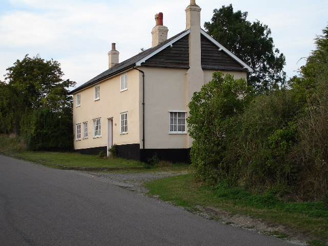
Bygrave
Bygrave is a village and civil parish in the North Hertfordshire district of Hertfordshire, England, about 2 miles north-east of Baldock. In the 10th...
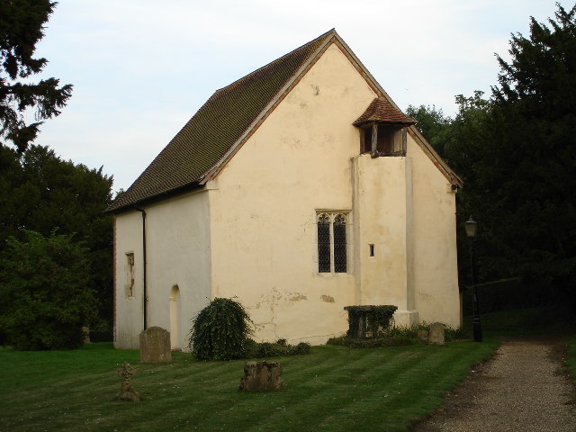
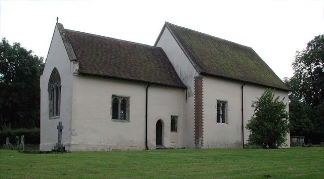
Church of St Margaret of Antioch, Bygrave
The Church of St Margaret of Antioch is the Anglican parish church for the village of Bygrave in Hertfordshire. Dedicated to St Margaret of Antioch, the...
Newnham, Hertfordshire
Newnham is a small village and civil parish near Ashwell in the North Hertfordshire district, in the county of Hertfordshire, England. It shares a grouped...

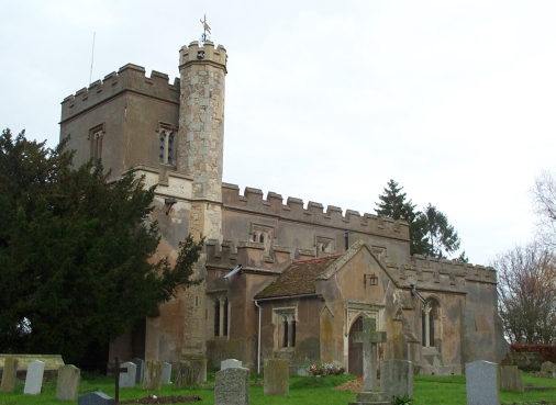
Church of St Vincent, Newnham
The Church of St Vincent in Newnham in Hertfordshire is a 12th-century Anglican parish church and a Grade II* listed building, having gained that status...
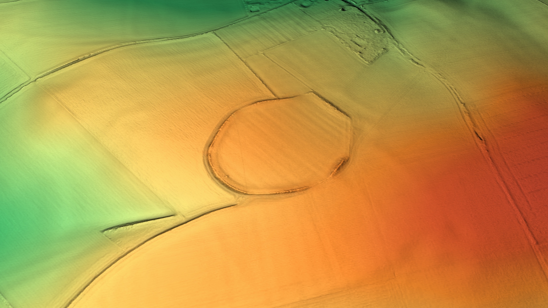
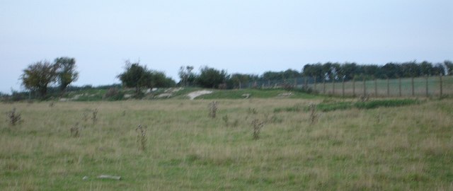
Arbury Banks, Hertfordshire
Arbury Banks is a hill fort southwest of Ashwell, Hertfordshire, England. It was probably first constructed during the late Bronze Age, 1000-700 BC. Standing...

Caldecote, Hertfordshire
Caldecote is a village and civil parish in the North Hertfordshire district of Hertfordshire, England. It is located around three miles north of Baldock...
Baldock services
Baldock services is a motorway service station on the A1(M) motorway near Baldock in Hertfordshire, England. It is operated by Extra. Work on the service...
St Mary Magdalene's Church, Caldecote
St Mary Magdalene's Church is a redundant Anglican church standing in the deserted medieval village of Caldecote, Hertfordshire, England. It is recorded...
Nearby Amenities
Located within 500m of 52.015602,-0.16960939Have you been to Bygrave Plantation?
Leave your review of Bygrave Plantation below (or comments, questions and feedback).