Brookmans Park
Wood, Forest in Hertfordshire Welwyn Hatfield
England
Brookmans Park
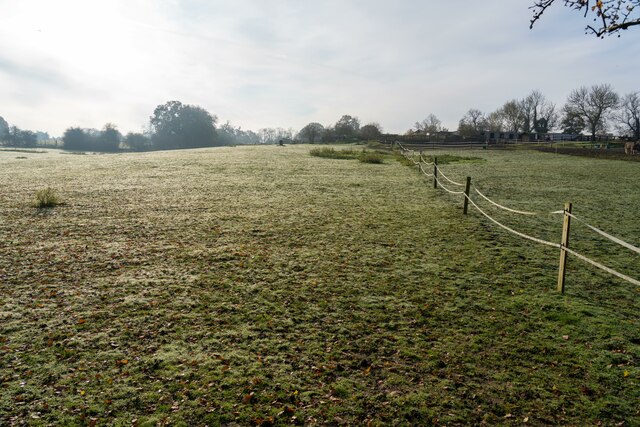
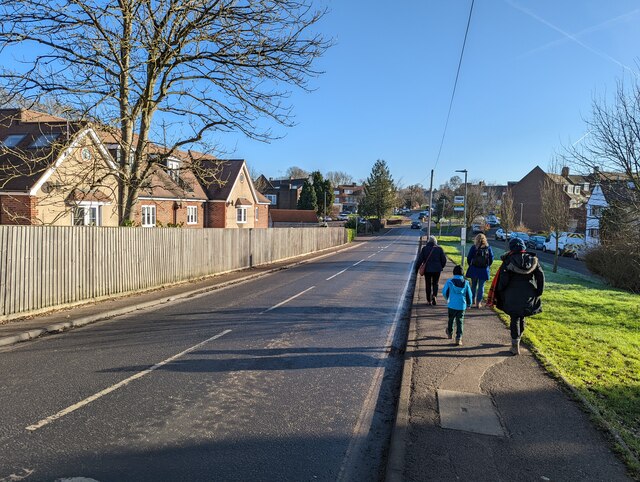
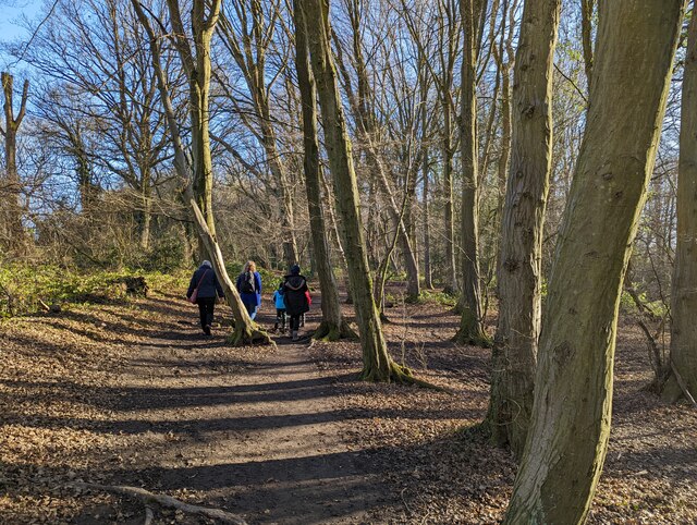
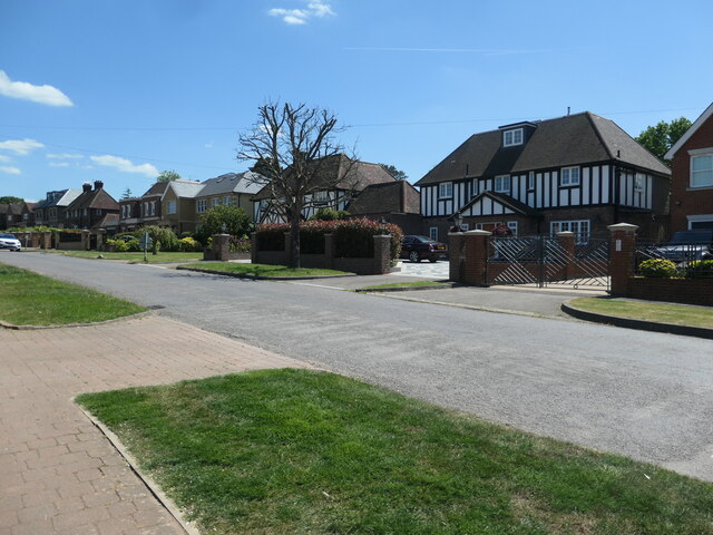
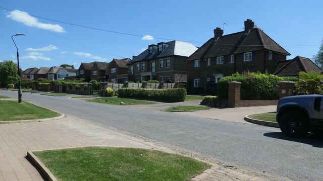
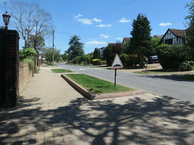
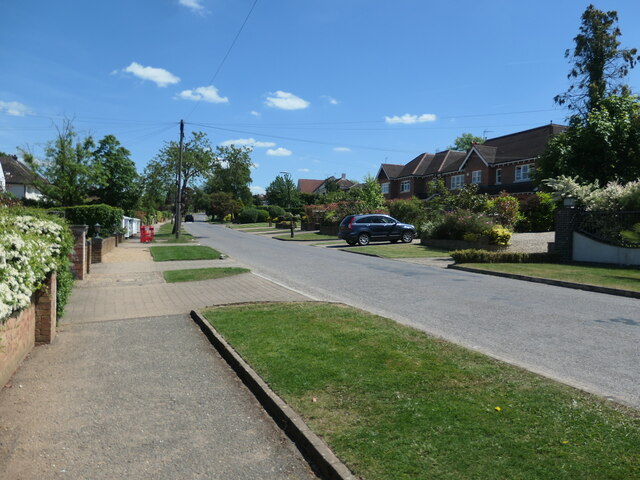
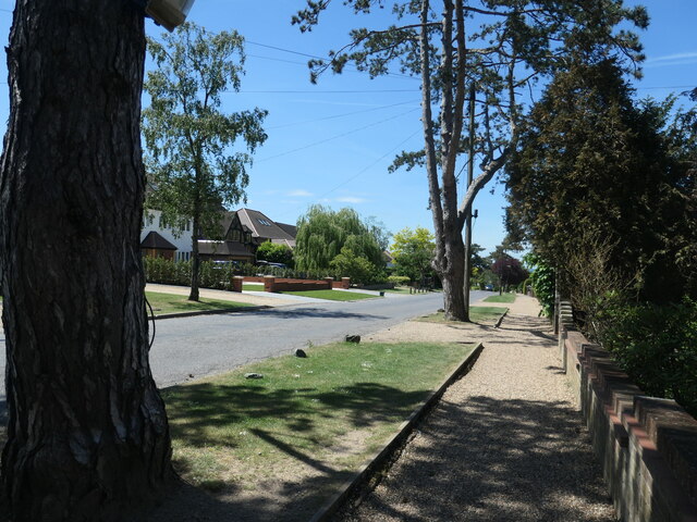
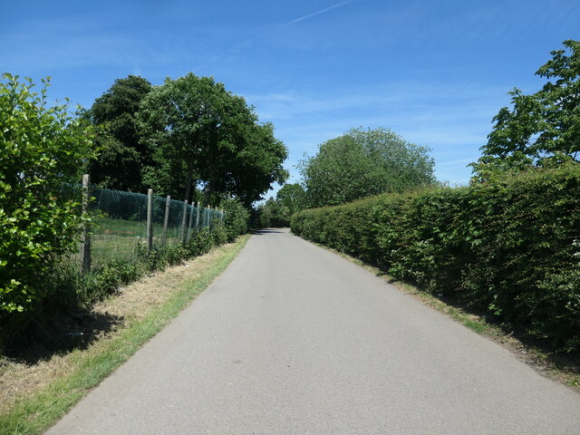
Brookmans Park is a charming village located in Hertfordshire, England. Nestled within a picturesque woodland area, it offers residents and visitors a peaceful and idyllic setting. The village is surrounded by lush greenery, making it a haven for nature lovers and outdoor enthusiasts.
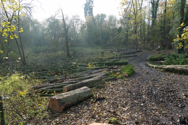
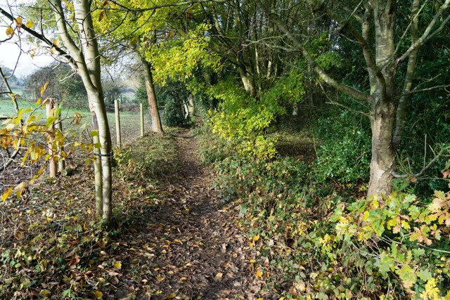
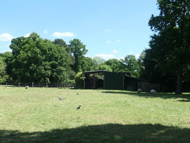
The woodland in Brookmans Park is known for its diverse range of trees, including oak, beech, and ash, among others. This rich variety of flora creates a vibrant and colorful landscape throughout the year. The forest also provides a home to numerous wildlife species, such as rabbits, squirrels, and various bird species, making it a haven for nature enthusiasts and wildlife photographers.
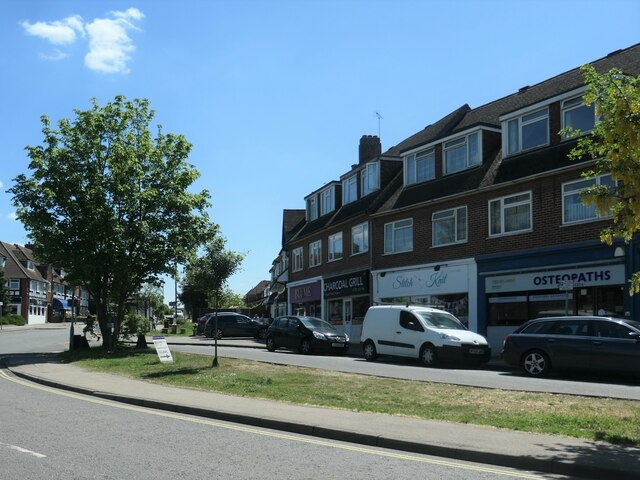
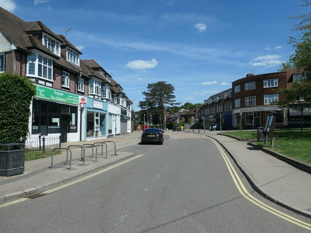
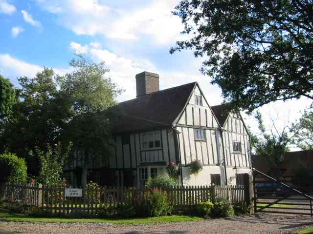
The village itself is quaint and offers a range of amenities and facilities for its residents. It boasts a local primary school, a community center, a few charming shops, and a cozy pub. The village green is a popular gathering spot for locals, hosting events and community activities throughout the year.
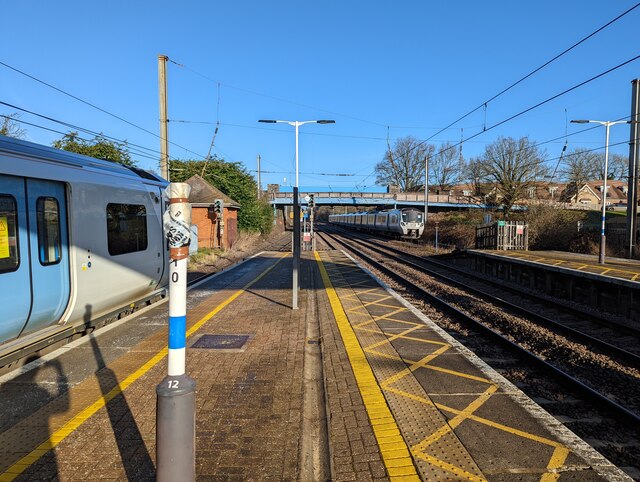
Brookmans Park is well-connected to nearby towns and cities, making it an ideal location for commuters. The village has its own railway station, providing regular train services to London and other major cities. The nearby A1(M) motorway also offers convenient access to the wider region.
Overall, Brookmans Park is a delightful village surrounded by a beautiful woodland area. Its tranquil atmosphere, stunning natural surroundings, and convenient amenities make it a desirable place to live or visit for those seeking a peaceful and picturesque setting.
If you have any feedback on the listing, please let us know in the comments section below.
Brookmans Park Images
Images are sourced within 2km of 51.724806/-0.18207346 or Grid Reference TL2504. Thanks to Geograph Open Source API. All images are credited.
![Brookmans Park Golf Club [1] Seen from Golf Club Road.](https://s1.geograph.org.uk/geophotos/07/18/68/7186825_f900b103.jpg)
Brookmans Park is located at Grid Ref: TL2504 (Lat: 51.724806, Lng: -0.18207346)
Administrative County: Hertfordshire
District: Welwyn Hatfield
Police Authority: Hertfordshire
What 3 Words
///flesh.reason.held. Near Potters Bar, Hertfordshire
Nearby Locations
Related Wikis

Chancellor's School
Chancellor's School is a coeducational secondary school and sixth form located in Brookmans Park, Hertfordshire, England. == History == The school opened...
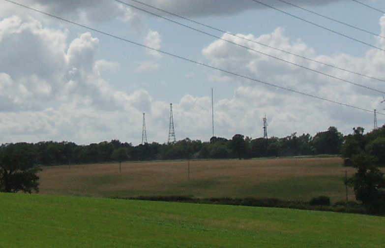
Brookmans Park transmitting station
The Brookmans Park transmitting station is a facility for medium wave (MW) broadcasting at Brookmans Park, Hertfordshire, north of London (grid reference...
Bell Bar
Bell Bar is a hamlet located in North Mymms, Hertfordshire, England. It is in the civil parish of North Mymms. Thought to be named after the ancient Bell...
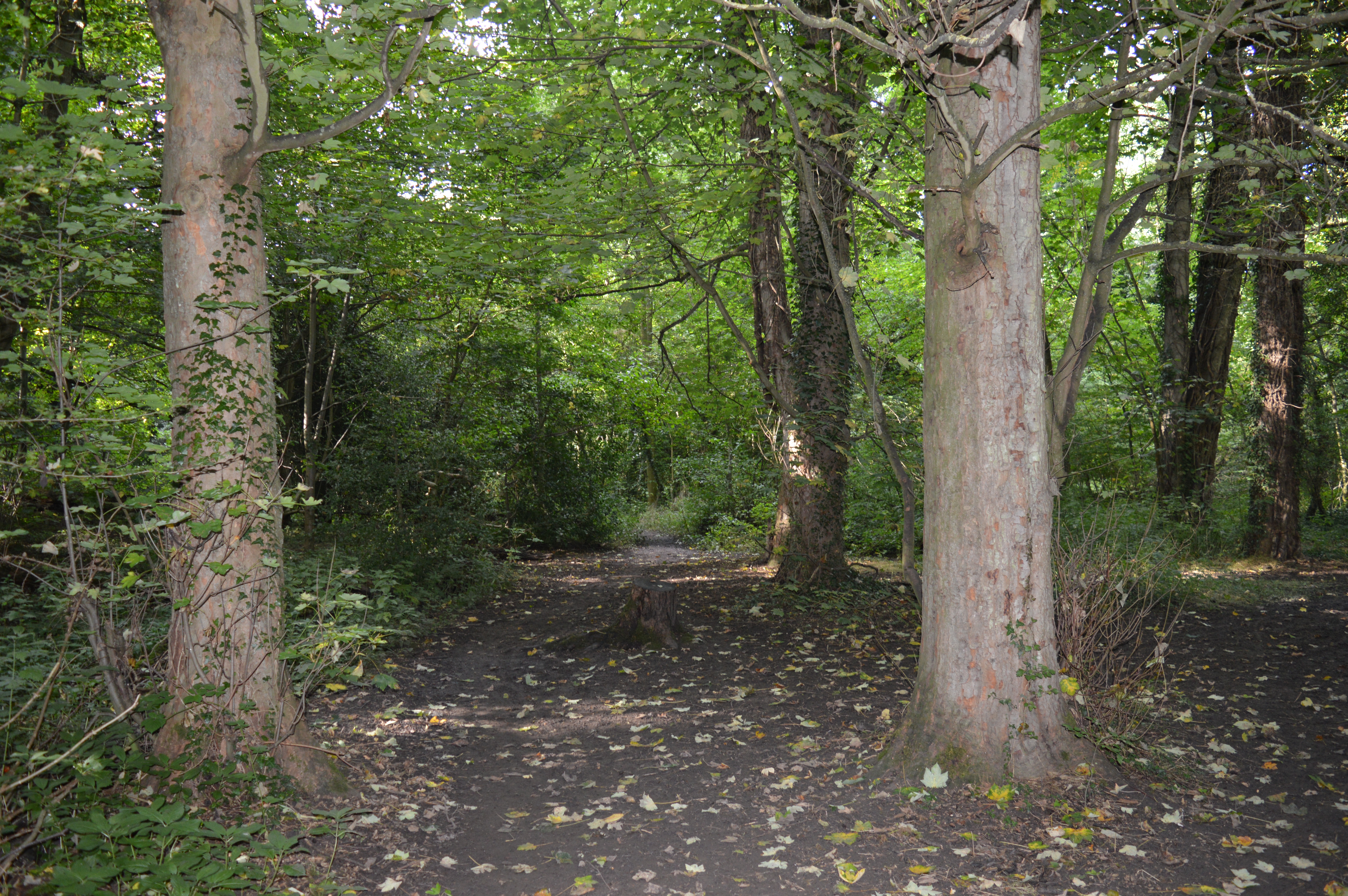
Gobions Wood
Gobions Wood is a 36 hectare nature reserve managed by the Herts and Middlesex Wildlife Trust in Brookmans Park in Hertfordshire. The site was formerly...
Nearby Amenities
Located within 500m of 51.724806,-0.18207346Have you been to Brookmans Park?
Leave your review of Brookmans Park below (or comments, questions and feedback).