Kingsland Spinney
Wood, Forest in Huntingdonshire Huntingdonshire
England
Kingsland Spinney

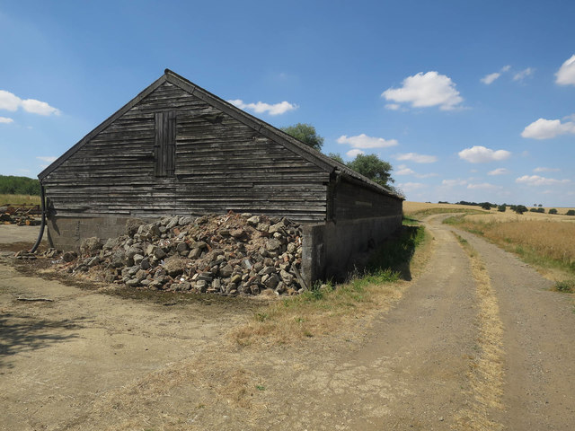
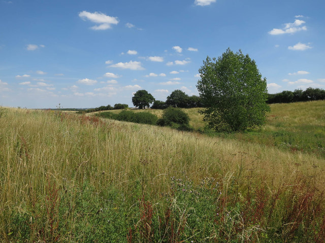
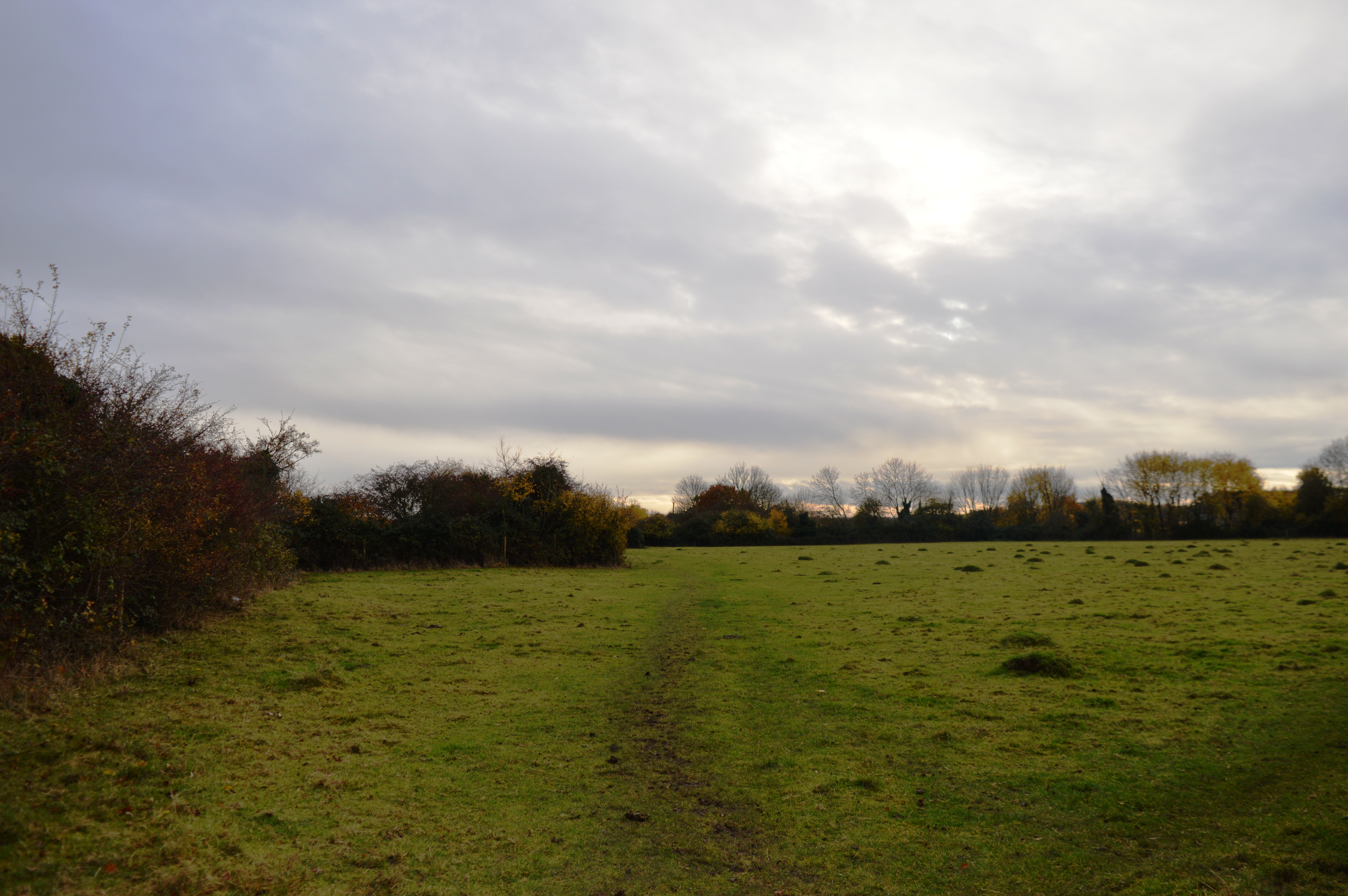
Kingsland Spinney, located in Huntingdonshire, England, is a charming wood or forest area that offers a serene and picturesque environment for nature lovers and outdoor enthusiasts. Spanning across a significant area, the Spinney provides a peaceful retreat from the hustle and bustle of urban life.
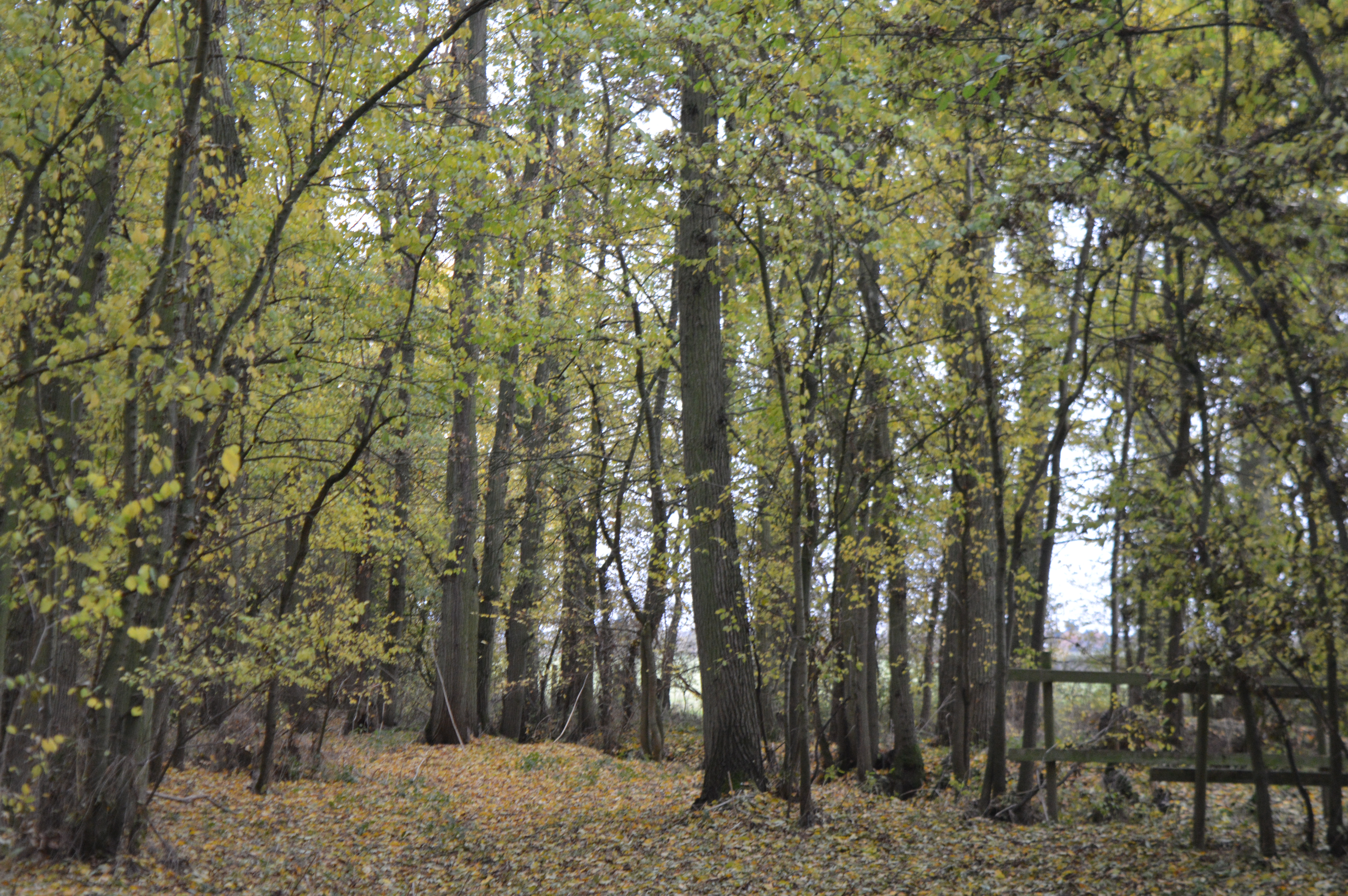
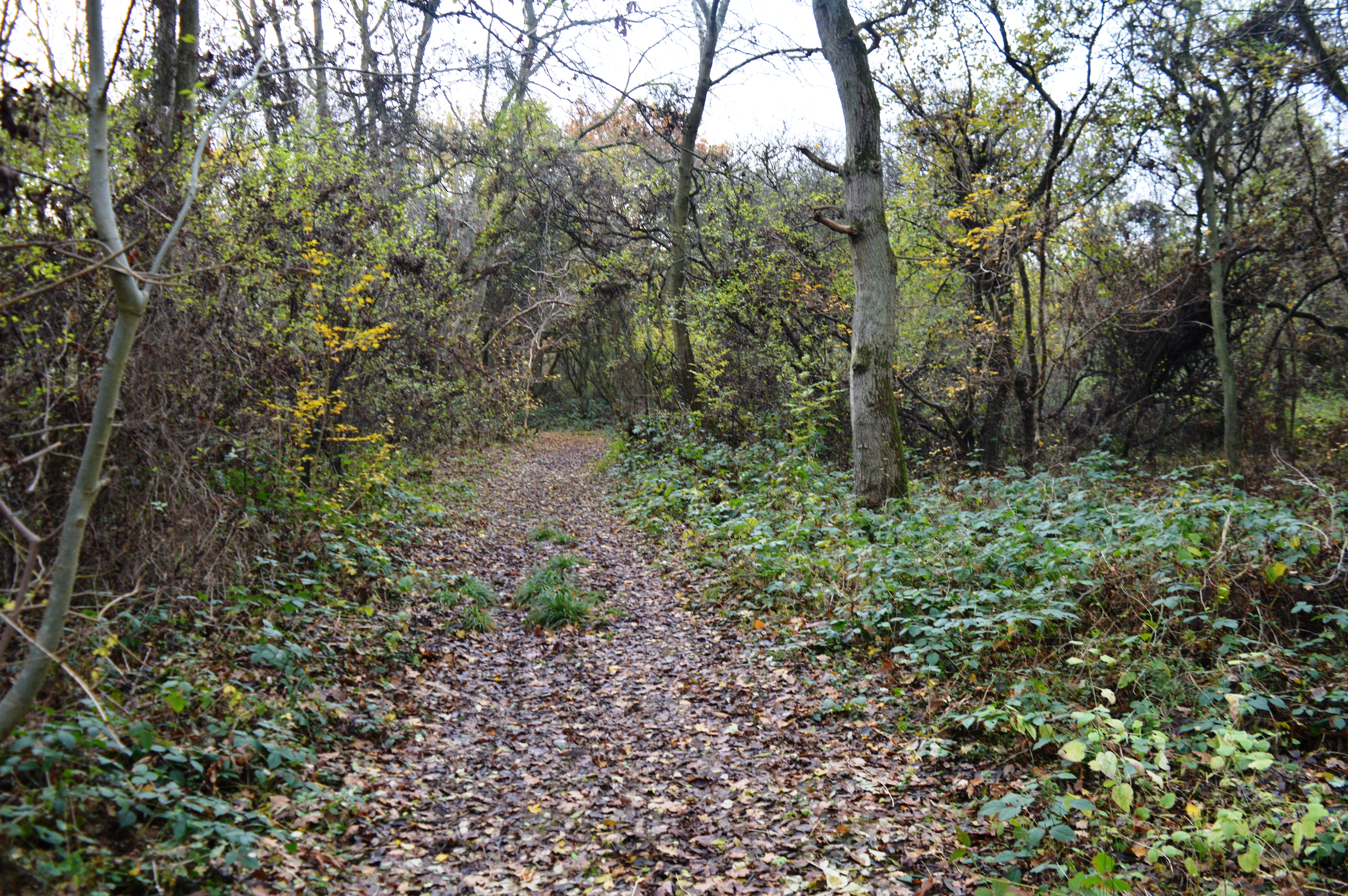
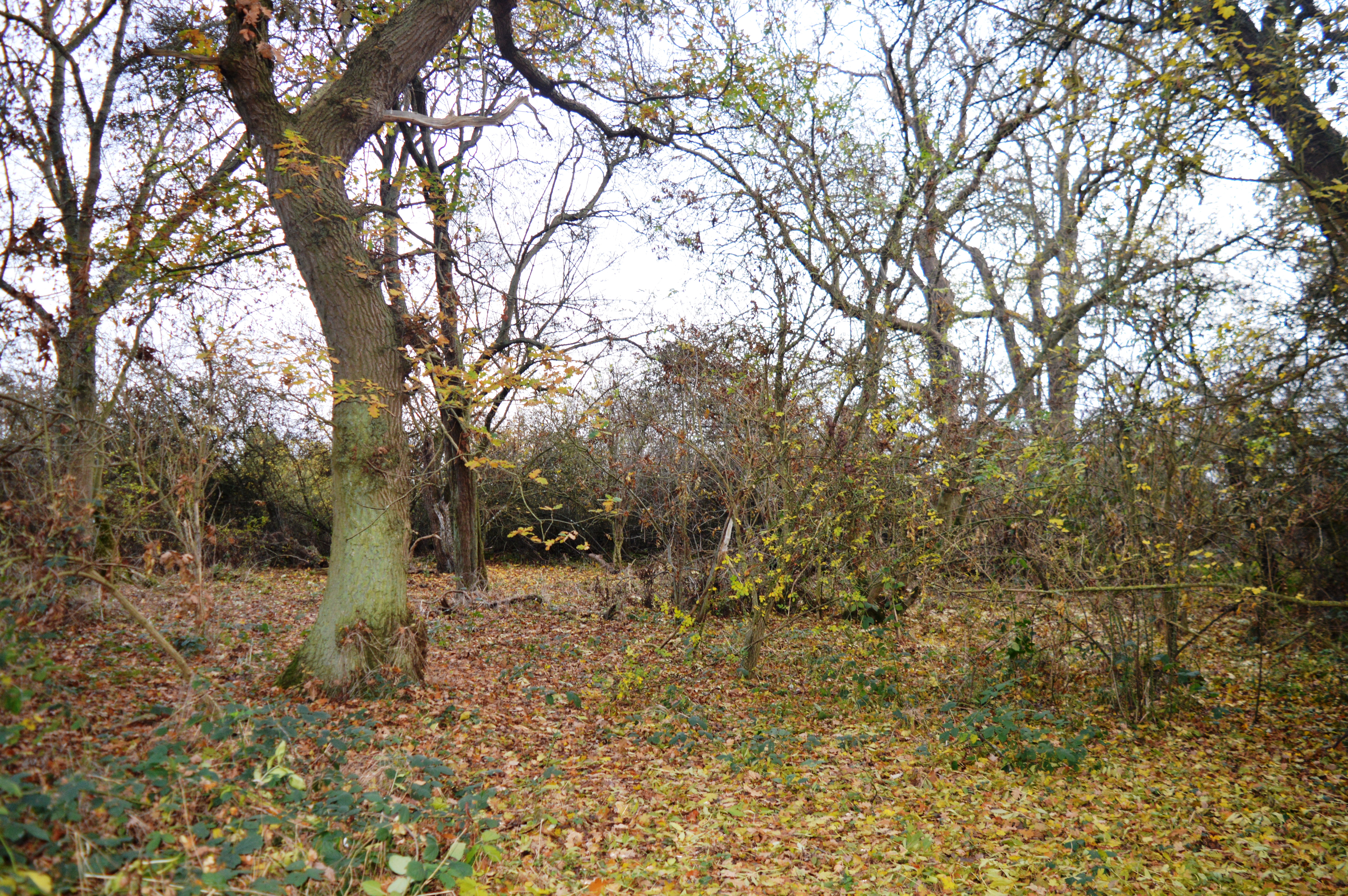
The Spinney is known for its lush greenery, with a diverse range of trees and plant species. The canopy of the wood creates a cool and refreshing ambience, making it an ideal place for leisurely walks or picnics. The forest floor is covered with a carpet of moss and fallen leaves, adding to the natural beauty of the area.
As one explores Kingsland Spinney, they may encounter various wildlife species that call this forest their home. Squirrels can be seen scampering up and down the trees, while birds sing their melodious tunes from the branches above. The occasional sighting of deer or rabbits adds to the enchantment of the woodland experience.
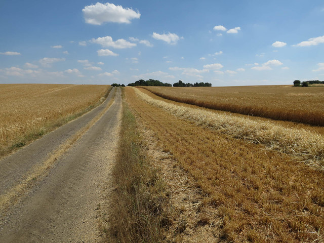
The Spinney also contains a network of well-maintained paths and trails, ensuring easy navigation for visitors. These trails lead to hidden corners and secluded spots, allowing visitors to immerse themselves in the tranquility of nature. Additionally, there are information boards scattered throughout the Spinney, providing interesting facts about the flora and fauna found within the wood.
Overall, Kingsland Spinney in Huntingdonshire is a natural haven, offering a serene escape for those seeking solace in the beauty of the forest. Whether for a peaceful stroll, birdwatching, or simply enjoying the sights and sounds of nature, this wood provides a delightful experience for all.
If you have any feedback on the listing, please let us know in the comments section below.
Kingsland Spinney Images
Images are sourced within 2km of 52.411188/-0.15831785 or Grid Reference TL2580. Thanks to Geograph Open Source API. All images are credited.


Kingsland Spinney is located at Grid Ref: TL2580 (Lat: 52.411188, Lng: -0.15831785)
Administrative County: Cambridgeshire
District: Huntingdonshire
Police Authority: Cambridgeshire
What 3 Words
///fragments.member.beanbag. Near Warboys, Cambridgeshire
Nearby Locations
Related Wikis

The Raveleys
Great Raveley and Little Raveley are villages near Upwood south of Ramsey. They are located in Huntingdonshire (now part of Cambridgeshire), England, 3½...
Raveley Wood
Raveley Wood is a 5.6-hectare (14-acre) nature reserve south-west of Upwood in Cambridgeshire. It is managed by the Wildlife Trust for Bedfordshire, Cambridgeshire...
Upwood Meadows
Upwood Meadows is a 6 hectare biological Site of Special Scientific Interest west of Upwood in Cambridgeshire. It is also a National Nature Reserve and...
Lady's Wood
Lady's Wood is a 7.1-hectare (18-acre) nature reserve west of Upwood in Cambridgeshire. It is managed by the Wildlife Trust for Bedfordshire, Cambridgeshire...
Upwood
Upwood is a village and former civil parish, now in the parish of Upwood and the Raveleys, in the non-metropolitan district and historic county of Huntingdonshire...
Wistow, Cambridgeshire
Wistow is a village and civil parish in Cambridgeshire, England. Wistow lies approximately 6 miles (10 km) north-east of Huntingdon, near Warboys. Wistow...
Gamsey Wood
Gamsey Wood is a 4 hectare nature reserve north-east of Woodwalton in Cambridgeshire. It is managed by the Wildlife Trust for Bedfordshire, Cambridgeshire...

Abbots Ripton
Abbots Ripton is a village and civil parish in Cambridgeshire, England. Abbots Ripton is situated within Huntingdonshire which is a non-metropolitan district...
Nearby Amenities
Located within 500m of 52.411188,-0.15831785Have you been to Kingsland Spinney?
Leave your review of Kingsland Spinney below (or comments, questions and feedback).