Wrays Wood

Wood, Forest in Surrey Reigate and Banstead

England

Wrays Wood

Signpost at the junction of Collendean Lane and Horsehill
Signpost at the junction of Collendean Lane and Horsehill Credit: James Insell

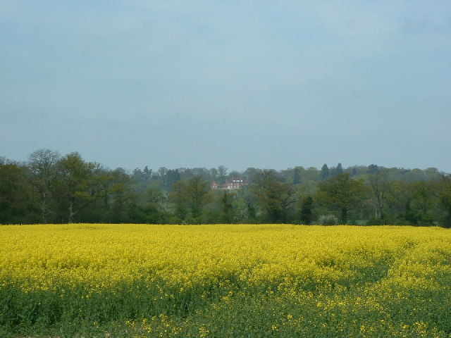
Wrays Wood is a picturesque woodland located in Surrey, England. Situated in the southeast of the county, it covers an area of approximately 50 acres, making it a small but charming forest.

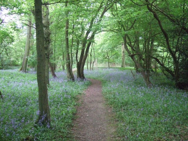
The wood is known for its stunning natural beauty, with a diverse range of flora and fauna. The trees here include oak, beech, and birch, creating a dense canopy that provides shade and shelter for a variety of wildlife. Bluebells and wildflowers carpet the forest floor in the spring, adding a splash of color to the already enchanting landscape.

The wood is crisscrossed by numerous walking trails, allowing visitors to explore its tranquil surroundings. These paths are well-maintained and provide easy access for both casual walkers and avid hikers. Birdwatchers will also find plenty to see here, as the wood is home to a variety of bird species, including woodpeckers, owls, and various songbirds.

Wrays Wood is a popular destination for nature lovers and outdoor enthusiasts, offering a peaceful retreat from the hustle and bustle of city life. The forest provides a wonderful opportunity to reconnect with nature, and visitors can often spot squirrels, rabbits, and deer roaming freely throughout the wood.

Overall, Wrays Wood is a hidden gem in Surrey, offering a serene and idyllic setting for anyone seeking solace in the beauty of nature. Whether it's for a leisurely stroll or a more adventurous hike, this woodland is a must-visit for those looking to escape into the tranquility of the natural world.

If you have any feedback on the listing, please let us know in the comments section below.
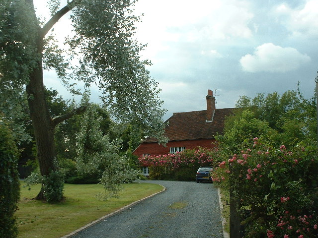
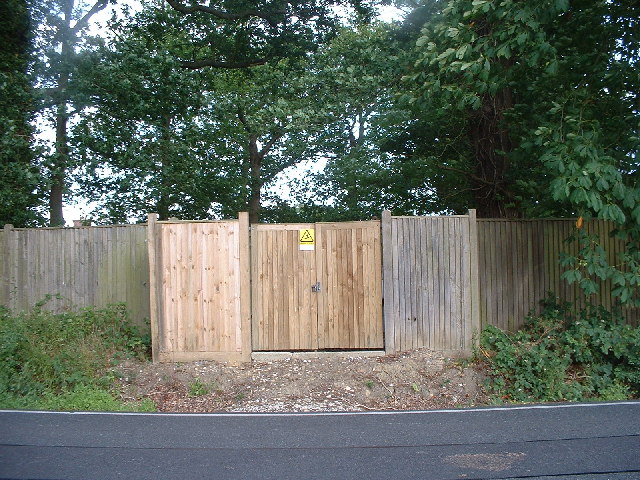
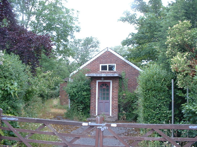
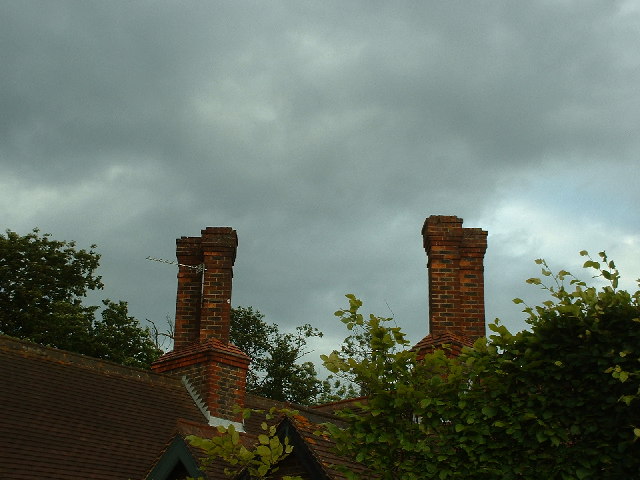
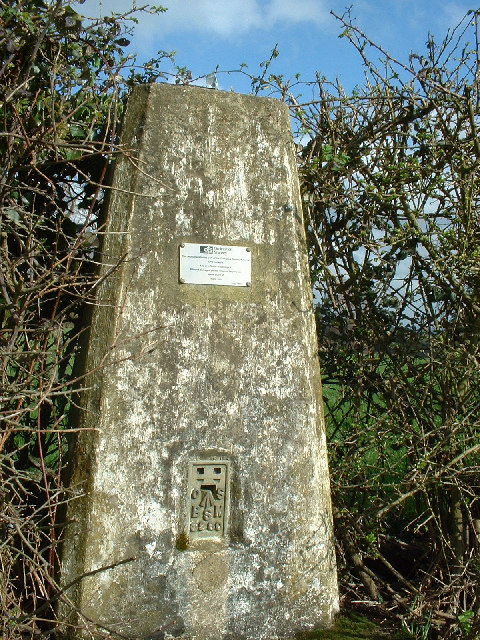
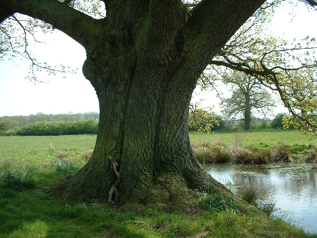
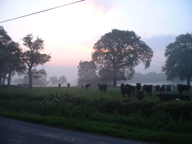
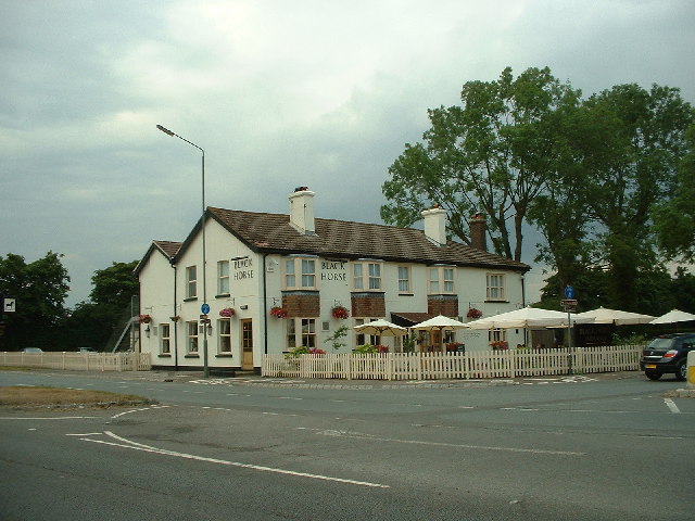
Wrays Wood Images

Images are sourced within 2km of 51.182999/-0.20790638 or Grid Reference TQ2544. Thanks to Geograph Open Source API. All images are credited.

Signpost at the junction of Collendean Lane and Horsehill
Plastic wrapped straw bales in a field adjacent to Collendean Lane
Collendean Farm
Collendean Farm
Electricity sub-station on Collendean Lane
Disused Norwood Hill Community Hall on Collendean Lane
Ornamental chimney stacks on a house on Smalls Hill Road
Sunset over woodland to the North-West of Collendean Lane * accepted as a supplemental image for use as an example in the guide.
Sunset over woodland to the North-West of Collendean Lane
* accepted as a supplemental image for use as an example in the guide.
Trig point at Norwood Hill
Old Oak next to Pond at Edolphs Farm Taken from public footpath
Old Oak next to Pond at Edolphs Farm
Taken from public footpath
Sunrise at Irons Bottom Just before dawn - during a partial solar eclipse
Sunrise at Irons Bottom
Just before dawn - during a partial solar eclipse
Road through woodland at Horse Hill Looking down the hill towards Hookwood
Road through woodland at Horse Hill
Looking down the hill towards Hookwood
The Black Horse pub at Hookwood On Reigate Road
The Black Horse pub at Hookwood
On Reigate Road
Climbing roses on wall near Little Mynthurst Farm
Cornfield taken from public footpath at Nutley Dean Farm
A field of oilseed rape A field of oilseed rape.  Large house at Norwood Hill in the background.
A field of oilseed rape
A field of oilseed rape. Large house at Norwood Hill in the background.
Fields just south of Reigate This picture was taken on Reigate Road which just clips the square to its west side.  The square is mostly fields intersected by the River Mole and a line of pylons.
Fields just south of Reigate
This picture was taken on Reigate Road which just clips the square to its west side. The square is mostly fields intersected by the River Mole and a line of pylons.
Footbridge over River Mole This is a small, well maintained footbridge over the river mole in rural countryside.  The supports suggest that a wider bridge once traversed the river here, something that is confirmed by older maps where a track once led along this route.
Footbridge over River Mole
This is a small, well maintained footbridge over the river mole in rural countryside. The supports suggest that a wider bridge once traversed the river here, something that is confirmed by older maps where a track once led along this route.
Derelict car on river bend A derelict car lies on the bend of the River Mole.
Derelict car on river bend
A derelict car lies on the bend of the River Mole.
Show me another place!

Wrays Wood is located at Grid Ref: TQ2544 (Lat: 51.182999, Lng: -0.20790638)

Administrative County: Surrey

District: Reigate and Banstead

Police Authority: Surrey

What 3 Words

///shirt.acid.record. Near Salfords, Surrey

Related Wikis

Horley Town F.C.

Horley Town Football Club is a football club based in Horley, Surrey, England. They are currently members of the Combined Counties League Premier Division...

Salfords and Sidlow

Salfords and Sidlow is a civil parish in the Reigate and Banstead borough of Surrey, England. It has a population of 3,069. The parish includes the villages...

Reigate Hundred

Reigate was a hundred in what is now Surrey, England. It was geographically consonant with the southern two thirds of Borough of Reigate and Banstead together...

Edolph's Copse

Edolph's Copse is a 27.6-hectare (68-acre) Local Nature Reserve west of Horley in Surrey. It is owned and managed by the Woodland Trust.The copse is mainly...

Horley

Horley is a town in the borough of Reigate and Banstead in Surrey, England, south of the towns of Reigate and Redhill. The county border with West Sussex...
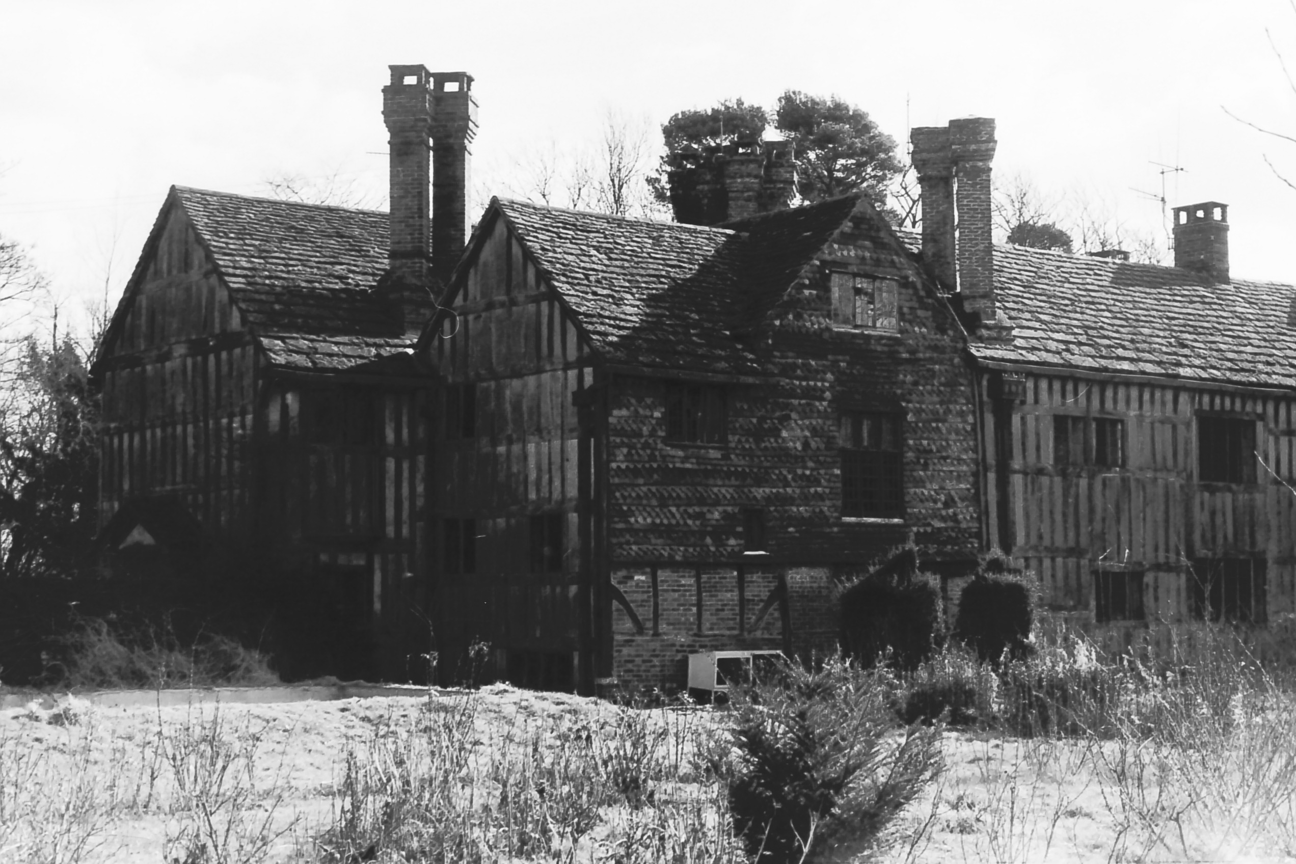
Charlwood House

Charlwood House is an early 17th-century timber-framed country house in Lowfield Heath, Crawley, West Sussex, England. It is a Grade II* listed building...

Sidlow

Sidlow is a mainly rural, lightly populated village in the parish of Salfords and Sidlow, in the south of the borough of Reigate and Banstead in Surrey...

Gatwick Stream

The Gatwick Stream is a tributary of the River Mole in southern England. The Gatwick Stream rises in Worth Forest below Clays lake in West Sussex, flows...

Nearby Amenities

Located within 500m of 51.182999,-0.20790638
Post Box
Operator: Royal Mail
Ref: RH6 240
Lat/Long: 51.184663/-0.210542
COLLENDEANFARMNO1
Disused: yes
Man Made: petroleum_well
Ref GB Decc: LR/24-1
Source: DECC
Lat/Long: 51.1830556/-0.2147222
Bus Stop
High Trees
Naptan AtcoCode: 40004409016A
Naptan Bearing: SE
Naptan CommonName: High Trees
Naptan Indicator: adj
Naptan Landmark: High Trees
Naptan NaptanCode: surdgmjg
Naptan Street: Horse Hill
Naptan Verified: yes
Public Transport: platform
Shelter: no
Source: naptan_import
Lat/Long: 51.1804725/-0.2081186
Bus Stop
High Trees
Naptan AtcoCode: 40004409016B
Naptan Bearing: NW
Naptan CommonName: High Trees
Naptan Indicator: Opp
Naptan Landmark: High Trees
Naptan NaptanCode: surdgmjm
Naptan Street: Horse Hill
Naptan Verified: no
Public Transport: platform
Source: naptan_import
Lat/Long: 51.1806843/-0.2084395
Bus Stop
Collendean Lane
Bus: yes
Naptan AtcoCode: 40004409017A
Naptan Bearing: N
Naptan BusStopType: CUS
Naptan CommonName: Collendean Lane
Naptan Indicator: adj
Naptan Landmark: Collendean Lane
Naptan NaptanCode: surgpwjw
Naptan Street: Irons Bottom Road
Naptan Verified: no
Public Transport: platform
Source: naptan_import
Lat/Long: 51.184378/-0.2106287
Bus Stop
Collendean Lane
Bus: yes
Naptan AtcoCode: 40004409017B
Naptan Bearing: S
Naptan CommonName: Collendean Lane
Naptan Indicator: Opp
Naptan Landmark: Collendean Lane
Naptan NaptanCode: surdgmjp
Naptan Street: Irons Bottom Road
Naptan Verified: no
Public Transport: platform
Shelter: no
Source: naptan_import
Lat/Long: 51.1843306/-0.2104731
Power: pole
Source: Bing
Lat/Long: 51.180185/-0.2131633
Power: pole
Source: Bing
Lat/Long: 51.1806618/-0.2127305
Power: pole
Source: Bing
Lat/Long: 51.1809489/-0.2109055
Power: pole
Source: Bing
Lat/Long: 51.1811594/-0.2097365
High Trees
Place: isolated_dwelling
Lat/Long: 51.181239/-0.2073714
Colour: white
Marker: stone
Material: concrete
Utility: oil
Lat/Long: 51.1824836/-0.2144954
Colour: white
Marker: stone
Material: concrete
Utility: oil
Lat/Long: 51.1824172/-0.2143944
The data included in this document is from www.openstreetmap.org. The data is made available under ODbL.

Have you been to Wrays Wood?

Leave your review of Wrays Wood below (or comments, questions and feedback).