Furze Field
Wood, Forest in Sussex Horsham
England
Furze Field

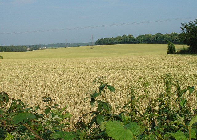
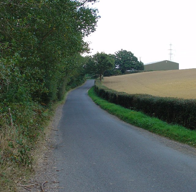
Furze Field is a picturesque woodland area located in Sussex, England. Spread across a vast expanse, it is known for its dense forests and abundance of various tree species. The field is predominantly covered in thickets of furze, a spiny evergreen shrub, which gives the area its name.
The woodland is a haven for nature enthusiasts and offers a diverse range of flora and fauna. The forest floor is carpeted with vibrant wildflowers, including bluebells, primroses, and wood anemones, creating a mesmerizing display during the spring months. The towering trees provide shelter to a myriad of bird species, such as woodpeckers, owls, and various songbirds, making it a popular spot for birdwatching.
Furze Field also boasts several walking trails and pathways, allowing visitors to explore its natural beauty. These pathways wind through the woods, providing an opportunity to immerse oneself in the peaceful surroundings and observe the local wildlife. The woodland is home to a diverse range of animal species, including deer, rabbits, squirrels, and foxes, which can often be spotted during a leisurely stroll.
The management of Furze Field is dedicated to preserving its natural habitat and protecting its biodiversity. The woodland is regularly maintained to ensure the health and vitality of the ecosystem. Additionally, the area is frequently monitored to prevent any illegal activities or damage to the environment.
Overall, Furze Field in Sussex is a captivating woodland that offers visitors a chance to escape the hustle and bustle of everyday life and immerse themselves in the tranquil beauty of nature.
If you have any feedback on the listing, please let us know in the comments section below.
Furze Field Images
Images are sourced within 2km of 51.073697/-0.21311702 or Grid Reference TQ2532. Thanks to Geograph Open Source API. All images are credited.


Furze Field is located at Grid Ref: TQ2532 (Lat: 51.073697, Lng: -0.21311702)
Administrative County: West Sussex
District: Horsham
Police Authority: Sussex
What 3 Words
///cunning.curls.alone. Near Handcross, West Sussex
Nearby Locations
Related Wikis
Cedars (immigration detention)
Cedars was an immigration detention facility in Crawley, West Sussex, United Kingdom adjacent to Gatwick Airport. It was operated by UK Visas and Immigration...

Pease Pottage
Pease Pottage is a village in the Mid Sussex District of West Sussex, England. It lies on the southern edge of the Crawley built-up area, in the civil...

Pease Pottage MSA
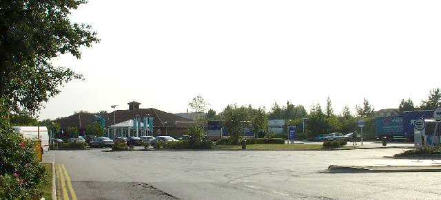
Pease Pottage services is a motorway service station at Junction 11 of the M23 motorway near Crawley. It is owned by Moto. == Facilities == Facilities...
Cottesmore School
Cottesmore is a boarding preparatory school in the United Kingdom, founded in 1894. == History == Cottesmore was founded by Geoffrey Davison Brown in 1894...

Handcross Park School
Handcross Park School is an independent co-educational preparatory school in Handcross, between Crawley, Horsham and Haywards Heath in West Sussex, England...

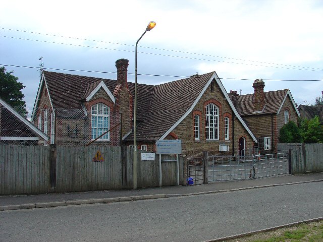
Colgate, West Sussex
Colgate is a small village and civil parish in the Horsham district of West Sussex, England, about four miles (6 km) north east of Horsham. A small village...

Handcross Hill bus crash
On 12 July 1906, a bus crashed into a tree on Handcross Hill in Sussex, England, killing 10 people and injuring a further 26 in the worst road crash in...

Handcross
Handcross is a village in the Mid Sussex District of West Sussex, England. It lies on the A23 road 4.2 miles (6.8 kilometres) south of Crawley. At the...
Nearby Amenities
Located within 500m of 51.073697,-0.21311702Have you been to Furze Field?
Leave your review of Furze Field below (or comments, questions and feedback).