Hydehill Wood
Wood, Forest in Sussex Horsham
England
Hydehill Wood
Hydehill Wood is a picturesque forest located in the county of Sussex, England. Spanning over a vast area, it is considered one of the most remarkable woodlands in the region. The enchanting wood is home to a diverse range of flora and fauna, making it a haven for nature enthusiasts.
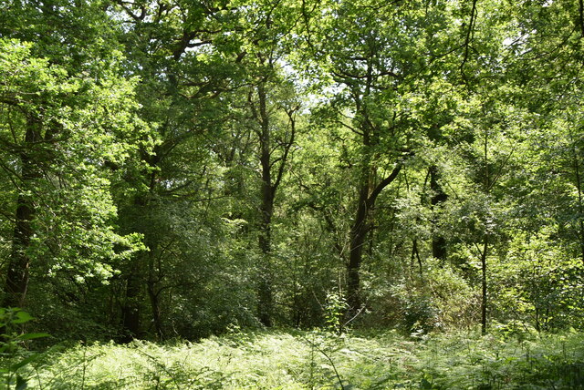
The wood features a dense canopy of towering trees, predominantly composed of oak, beech, and birch. These majestic trees create a tranquil ambiance and provide shelter for a variety of wildlife such as deer, squirrels, and a myriad of bird species. The forest floor is carpeted with a lush carpet of ferns, bluebells, and wildflowers, adding to its ethereal beauty.
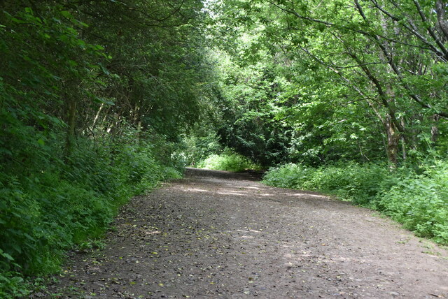
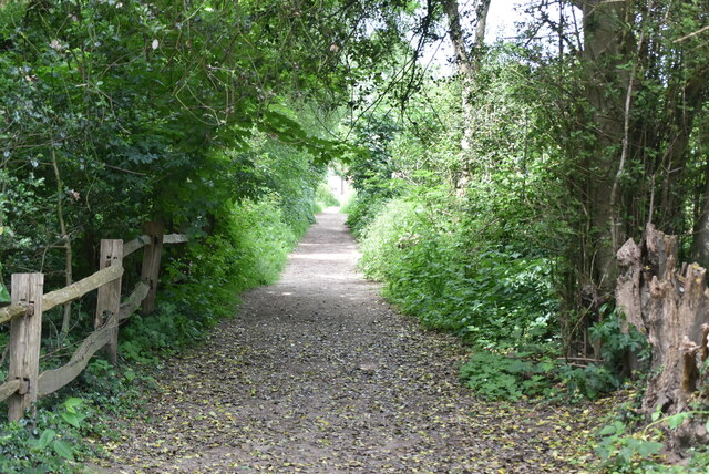
Hydehill Wood is crisscrossed by a network of well-maintained footpaths, inviting visitors to explore its enchanting surroundings. The paths wind through the forest, leading to hidden clearings and secluded spots, perfect for picnics or quiet contemplation. The wood is also adorned with babbling brooks and small streams, adding to its idyllic charm.
The wood is a popular destination for outdoor activities such as hiking, birdwatching, and nature photography. Its serene setting offers a respite from the hustle and bustle of everyday life, providing a much-needed escape into nature's embrace.
Hydehill Wood showcases the natural beauty of Sussex, captivating visitors with its enchanting atmosphere and diverse ecosystem. Whether one seeks solace in nature or longs for an adventure in the great outdoors, Hydehill Wood is a perfect destination to immerse oneself in the wonders of the natural world.
If you have any feedback on the listing, please let us know in the comments section below.
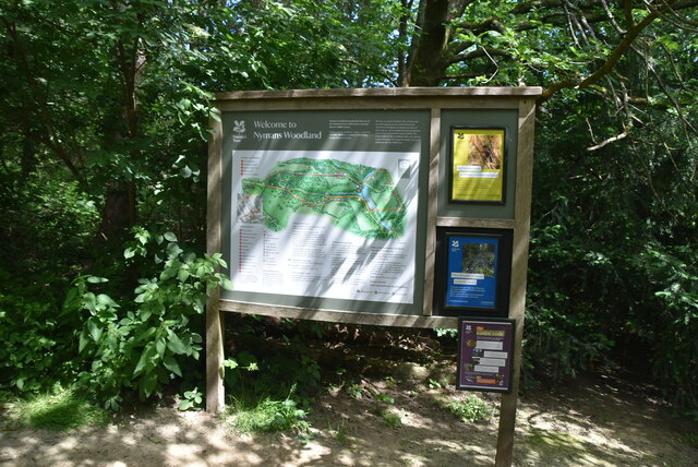
Hydehill Wood Images
Images are sourced within 2km of 51.065457/-0.21527549 or Grid Reference TQ2531. Thanks to Geograph Open Source API. All images are credited.


Hydehill Wood is located at Grid Ref: TQ2531 (Lat: 51.065457, Lng: -0.21527549)
Administrative County: West Sussex
District: Horsham
Police Authority: Sussex
What 3 Words
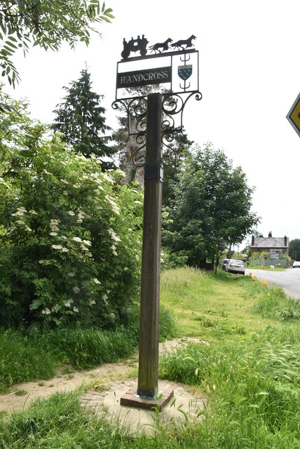
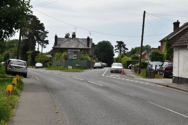
///inflamed.hippy.crazy. Near Handcross, West Sussex
Nearby Locations
Related Wikis

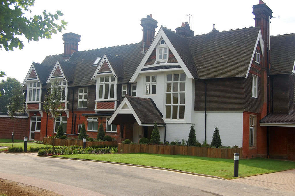
Handcross Park School
Handcross Park School is an independent co-educational preparatory school in Handcross, between Crawley, Horsham and Haywards Heath in West Sussex, England...

Handcross Hill bus crash
On 12 July 1906, a bus crashed into a tree on Handcross Hill in Sussex, England, killing 10 people and injuring a further 26 in the worst road crash in...

Handcross
Handcross is a village in the Mid Sussex District of West Sussex, England. It lies on the A23 road 4.2 miles (6.8 kilometres) south of Crawley. At the...
Cedars (immigration detention)
Cedars was an immigration detention facility in Crawley, West Sussex, United Kingdom adjacent to Gatwick Airport. It was operated by UK Visas and Immigration...

Nymans
Nymans is an English garden to the east of the village of Handcross, and in the civil parish of Slaugham in West Sussex, England. The garden was developed...

Pease Pottage
Pease Pottage is a village in the Mid Sussex District of West Sussex, England. It lies on the southern edge of the Crawley built-up area, in the civil...

Cow Wood and Harry's Wood
Cow Wood and Harry's Wood is a 75.5-hectare (187-acre) biological Site of Special Scientific Interest east of Handcross in West Sussex. it is in the High...

Pease Pottage MSA
Pease Pottage services is a motorway service station at Junction 11 of the M23 motorway near Crawley. It is owned by Moto. == Facilities == Facilities...
Nearby Amenities
Located within 500m of 51.065457,-0.21527549Have you been to Hydehill Wood?
Leave your review of Hydehill Wood below (or comments, questions and feedback).