Cat's Water Plantation

Wood, Forest in Cambridgeshire

England

Cat's Water Plantation

Disc harrowing near Mason's Bridge
Disc harrowing near Mason's Bridge Credit: Jonathan Thacker

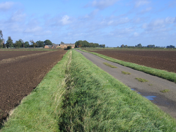
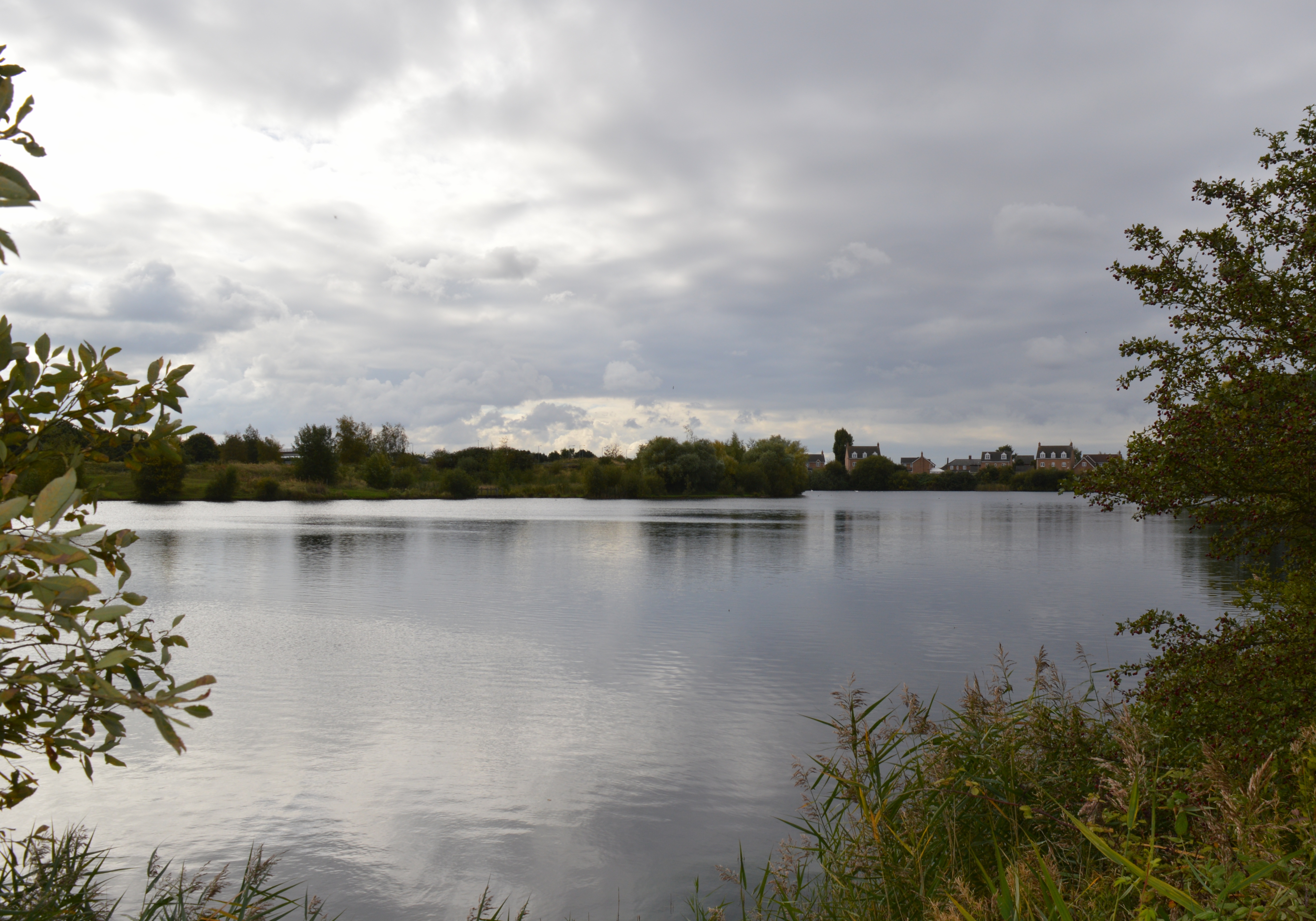
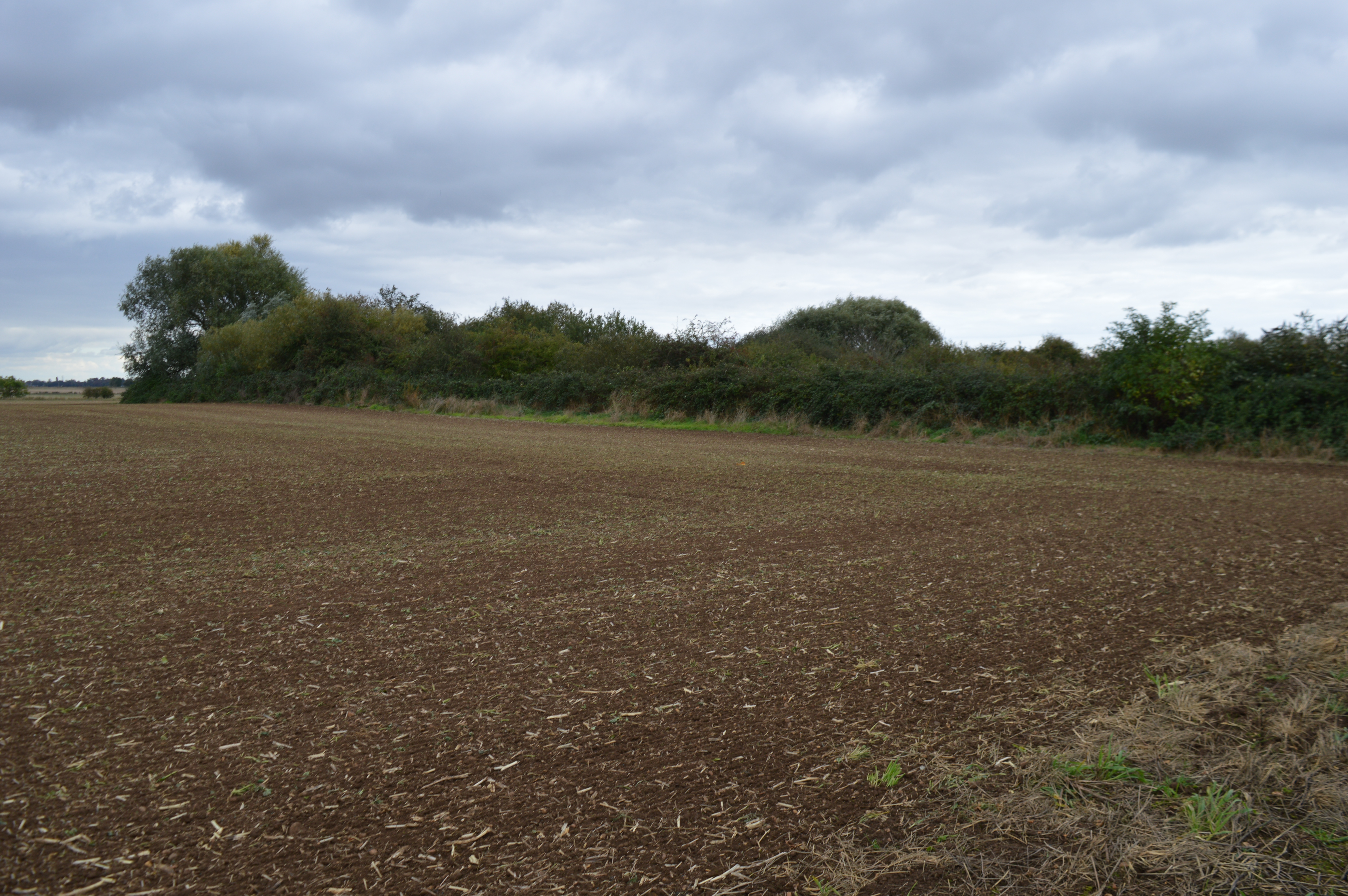
Cat's Water Plantation is a picturesque woodland located in Cambridgeshire, England. Nestled within the heart of the county, this enchanting plantation spans across a sprawling area, offering a serene escape from the bustling city life. The plantation gets its name from the nearby Cat's Water River that gently meanders through the forest, adding to its natural charm.

The woodland is characterized by a diverse array of trees, including towering oaks, majestic beeches, and slender silver birches. The dense foliage forms a lush canopy overhead, casting dappled sunlight on the forest floor. This creates a tranquil ambiance, perfect for exploring and immersing oneself in nature.

Cat's Water Plantation is a haven for wildlife enthusiasts and nature lovers alike. The woodland is home to a rich variety of flora and fauna, with sightings of deer, foxes, and a myriad of bird species being common. The plantation also boasts a vibrant undergrowth of wildflowers, adding bursts of color to the landscape during the spring and summer months.

For those looking to immerse themselves in outdoor activities, the plantation offers several well-maintained trails for walking, hiking, and biking. These trails wind through the woodland, providing visitors with ample opportunities to explore and discover the hidden treasures of Cat's Water Plantation.

Overall, Cat's Water Plantation is a natural haven that offers a peaceful retreat for individuals seeking solace in the beauty of nature. With its diverse flora and fauna, serene atmosphere, and well-maintained trails, it is a must-visit destination for nature enthusiasts and those looking to escape the hustle and bustle of everyday life.

If you have any feedback on the listing, please let us know in the comments section below.

Cat's Water Plantation Images

Images are sourced within 2km of 52.634784/-0.15352242 or Grid Reference TF2505. Thanks to Geograph Open Source API. All images are credited.

Disc harrowing near Mason's Bridge
Harrowed field Steam House Farm in the distance.
Harrowed field
Steam House Farm in the distance.
Construction of a new water main near Thorney - 1 ...
Construction of a new water main near Thorney - 1
...
Construction of a new water main near Thorney - 2 ...
Construction of a new water main near Thorney - 2
...
Construction of a new water main near Thorney - 3 ...
Construction of a new water main near Thorney - 3
...
Construction of a new water main near Thorney - 4 ...
Construction of a new water main near Thorney - 4
...
Construction of a new water main near Thorney - 5 ...
Construction of a new water main near Thorney - 5
...
Construction of a new water main near Thorney - 6 ...
Construction of a new water main near Thorney - 6
...
Nipcut Road, Eye, Peterborough View N with the Cat's Water Plantation on the right.
Nipcut Road, Eye, Peterborough
View N with the Cat's Water Plantation on the right.
The Reaches, Eye, Peterborough View N towards Powder Blue Farm.
The Reaches, Eye, Peterborough
View N towards Powder Blue Farm.
Bukehorn Road, Thorney, Cambs View NW towards Bukehorn Toll Farm and the Cat's Water plantation.
Bukehorn Road, Thorney, Cambs
View NW towards Bukehorn Toll Farm and the Cat's Water plantation.
Little Tower's Fen, Thorney Cambs View NW from Buke Horn Farm.
Little Tower's Fen, Thorney Cambs
View NW from Buke Horn Farm.
Roddon ridge, Fenland farmland, north of Eye Green, Peterborough A micro-ridge crosses the mid-ground, being a silted-up former marshland creek; Bukehorn Road east of Mason's Bridge, Newborough Fen.
Roddon ridge, Fenland farmland, north of Eye Green, Peterborough
A micro-ridge crosses the mid-ground, being a silted-up former marshland creek; Bukehorn Road east of Mason's Bridge, Newborough Fen.
Cat's Water drain, Thorney-Newborough, Peterborough The drain, a former distributary of the river Nene, forms the parish boundary.
Cat's Water drain, Thorney-Newborough, Peterborough
The drain, a former distributary of the river Nene, forms the parish boundary.
St Vincent's Cross marker stone, Thorney, Peterborough Situated between the B1040 road and the Cat's Water drain, the text on the stone reads "St. Vincent's Cross formerly stood 15.25 m due west of this stone. In March 1990 it was removed and re-erected 260 m to the NNE at St. Vincent's Cross Farm".  <a href="https://www.geograph.org.uk/photo/154441">TF2507 : St Vincent's Cross, Thorney, Peterborough</a>
St Vincent's Cross marker stone, Thorney, Peterborough
Situated between the B1040 road and the Cat's Water drain, the text on the stone reads "St. Vincent's Cross formerly stood 15.25 m due west of this stone. In March 1990 it was removed and re-erected 260 m to the NNE at St. Vincent's Cross Farm". TF2507 : St Vincent's Cross, Thorney, Peterborough
Landscape from Crowland Road, Thorney, Peterborough – view across flat Fenland towards Hangman's Corner. <a href="https://www.geograph.org.uk/photo/154381">TF2706 : Hangman's Corner, Thorney, Peterborough</a>
Landscape from Crowland Road, Thorney, Peterborough
– view across flat Fenland towards Hangman's Corner. TF2706 : Hangman's Corner, Thorney, Peterborough
Solitary barn, Little Tower's Fen, Thorney, Peterborough viewed from the Crowland Road.
Solitary barn, Little Tower's Fen, Thorney, Peterborough
viewed from the Crowland Road.
Singlesole Farm, Eye, Peterborough viewed from the Crowland Road, Thorney.
Singlesole Farm, Eye, Peterborough
viewed from the Crowland Road, Thorney.
Show me another place!

Cat's Water Plantation is located at Grid Ref: TF2505 (Lat: 52.634784, Lng: -0.15352242)

Division: Isle of Ely

Unitary Authority: Peterborough

Police Authority: Cambridgeshire

What 3 Words

///shredder.circus.prancing. Near Thorney, Cambridgeshire

Nearby Locations

Cat's Water Plantation

Related Wikis

Eye Green

Eye Green is a hamlet in the unitary authority of Peterborough, in the ceremonial county of Cambridgeshire, England. It lies north of Eye and south of...

Eye Green Local Nature Reserve

Eye Green Local Nature Reserve is a 12 hectare Local Nature Reserve in Eye Green in Cambridgeshire. It was managed by the Wildlife Trust for Bedfordshire...

Eye Gravel Pit

Eye Gravel Pit is a 0.4-hectare (0.99-acre) geological Site of Special Scientific Interest in Eye Green in Cambridgeshire. It is a Geological Conservation...

Thorney railway station

Thorney railway station was a station in Thorney, Cambridgeshire on the Midland and Great Northern Joint Railway line between Peterborough and Wisbech...

Nearby Amenities

Located within 500m of 52.634784,-0.15352242
Buke Horn Toll Farm
Place: farm
Razed: yes
Source: Bing
Lat/Long: 52.6325879/-0.1488125
The data included in this document is from www.openstreetmap.org. The data is made available under ODbL.

Have you been to Cat's Water Plantation?

Leave your review of Cat's Water Plantation below (or comments, questions and feedback).