Rose's Holt
Wood, Forest in Lincolnshire East Lindsey
England
Rose's Holt

Rose's Holt is a small village located in the county of Lincolnshire, England. Situated in the district of Wood, Forest, the village is known for its picturesque surroundings and peaceful atmosphere. With a population of around 200 residents, Rose's Holt offers a close-knit community and a rural lifestyle.
The village is surrounded by verdant woodlands and sprawling forests, which add to its charm and beauty. The natural landscape provides ample opportunities for outdoor activities such as hiking, cycling, and birdwatching. The nearby woodlands are home to a diverse range of flora and fauna, including oak, birch, and pine trees, as well as various species of birds and small mammals.
Despite its tranquil setting, Rose's Holt is conveniently located near major towns and cities. The village is situated just a short drive away from Lincoln, a historic city known for its medieval architecture and rich heritage. Additionally, the nearby town of Wood, Forest offers amenities such as shops, schools, and healthcare facilities, ensuring that residents have all their essential needs met.
Rose's Holt is also known for its community spirit and local events. The village holds regular social gatherings, fairs, and festivals, which bring residents together and foster a sense of belonging. The friendly and welcoming nature of the community creates a warm and inviting atmosphere for both residents and visitors.
In summary, Rose's Holt is a charming village nestled in the Wood, Forest district of Lincolnshire. With its natural beauty, convenient location, and close-knit community, the village offers a peaceful and idyllic place to call home.
If you have any feedback on the listing, please let us know in the comments section below.
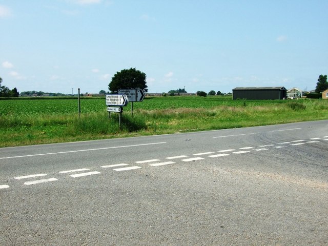
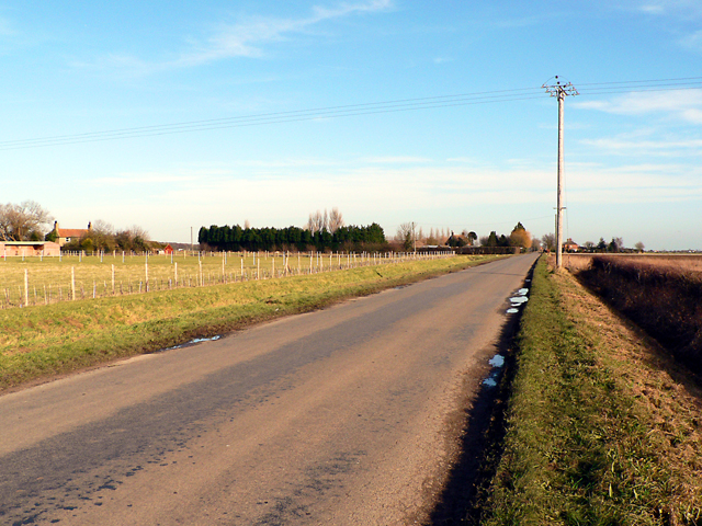
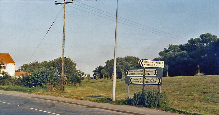
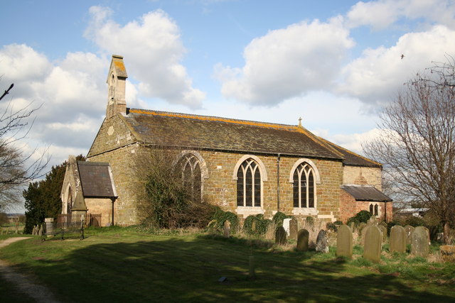
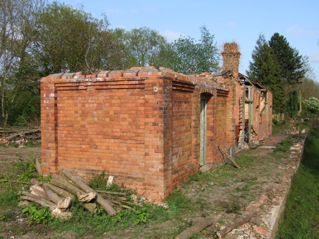
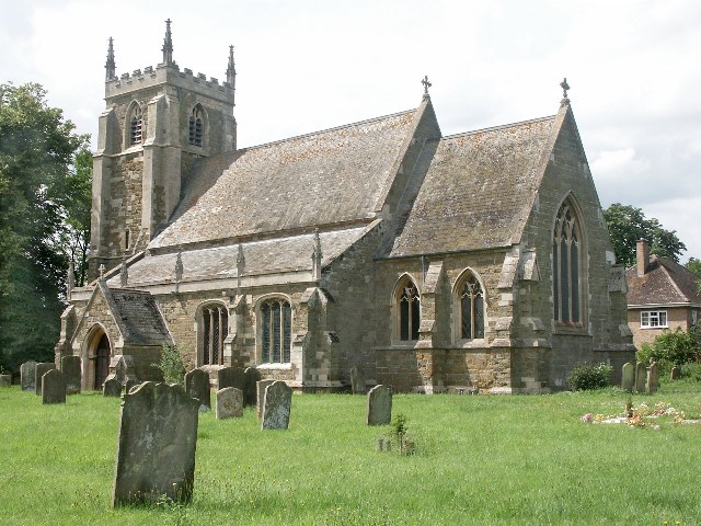
Rose's Holt Images
Images are sourced within 2km of 53.122964/-0.13553496 or Grid Reference TF2460. Thanks to Geograph Open Source API. All images are credited.


Rose's Holt is located at Grid Ref: TF2460 (Lat: 53.122964, Lng: -0.13553496)
Administrative County: Lincolnshire
District: East Lindsey
Police Authority: Lincolnshire
What 3 Words
///clattered.outdone.speeded. Near Coningsby, Lincolnshire
Nearby Locations
Related Wikis
Tumby, Lincolnshire
Tumby is a village in the East Lindsey district of Lincolnshire, England. It is situated approximately 2 miles (3.2 km) north from Coningsby and 6.5 miles...
Coningsby railway station
Coningsby railway station was a station in Coningsby, Lincolnshire, England on the Kirkstead and Little Steeping Railway which ran between Lincoln and...

Haltham Coppice
Haltham Coppice is a small woodland in the parish of Tumby, Lincolnshire. == References ==
Kirkby on Bain
Kirkby on Bain is a village and civil parish in the East Lindsey district of Lincolnshire, England. It lies on the River Bain between Horncastle and Coningsby...

Tattershall Thorpe
Tattershall Thorpe is a hamlet and civil parish in the East Lindsey district of Lincolnshire, England. It is situated approximately 3 miles (5 km) south...
Tumby Woodside railway station
Tumby Woodside railway station was a station in Tumby Woodside, Lincolnshire, England on the Kirkstead and Little Steeping Railway which ran between Lincoln...
Mareham le Fen
Mareham le Fen (otherwise Mareham-le-Fen) is a village and civil parish about 6 miles (10 km) south from the town of Horncastle, Lincolnshire, England...
Thorpe Camp
Thorpe Camp, officially known as the Thorpe Camp Visitor Centre, is the former Royal Air Force barracks for RAF Woodhall Spa. It is 2.5 miles (4.0 km)...
Nearby Amenities
Located within 500m of 53.122964,-0.13553496Have you been to Rose's Holt?
Leave your review of Rose's Holt below (or comments, questions and feedback).