Holland Park
Wood, Forest in Middlesex
England
Holland Park
Holland Park, Middlesex, also known as Wood or Forest, is a suburban area located in the London Borough of Hillingdon, in the western part of Greater London, England. It is situated approximately 14 miles west of central London and is bounded by the A40 road to the south and the Grand Union Canal to the north.
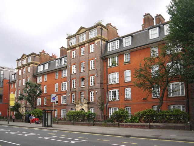
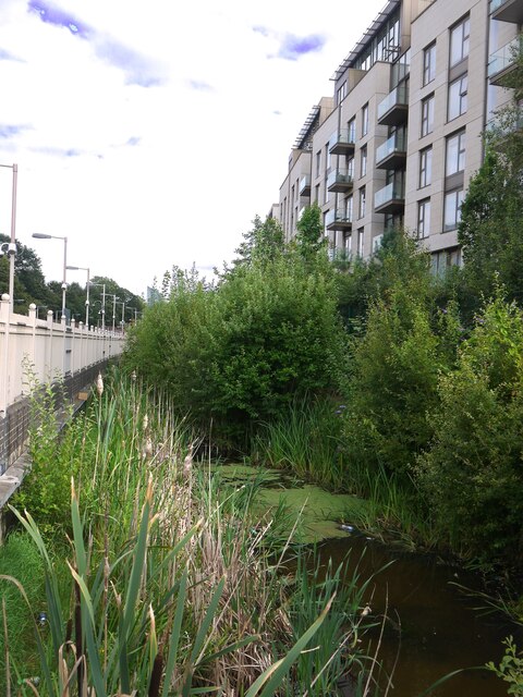
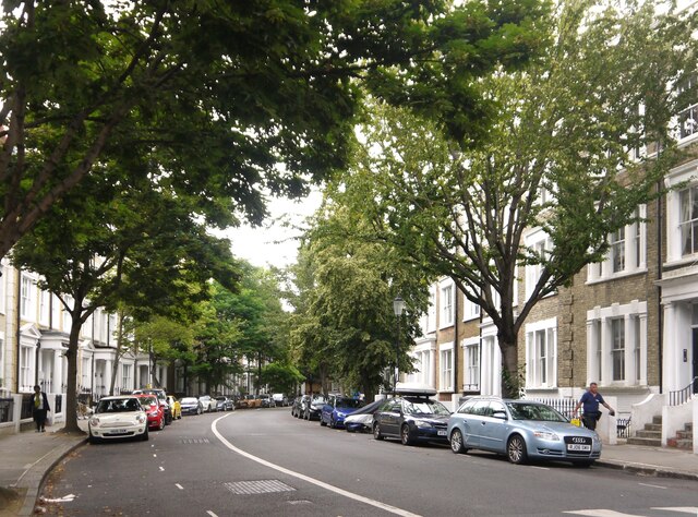
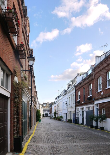
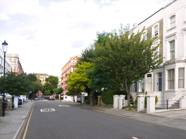
Holland Park is primarily a residential area, characterized by tree-lined streets and a mix of architectural styles, ranging from Victorian and Edwardian houses to more modern developments. The area is known for its leafy surroundings and green spaces, with several parks and open areas interspersed throughout the neighborhood.
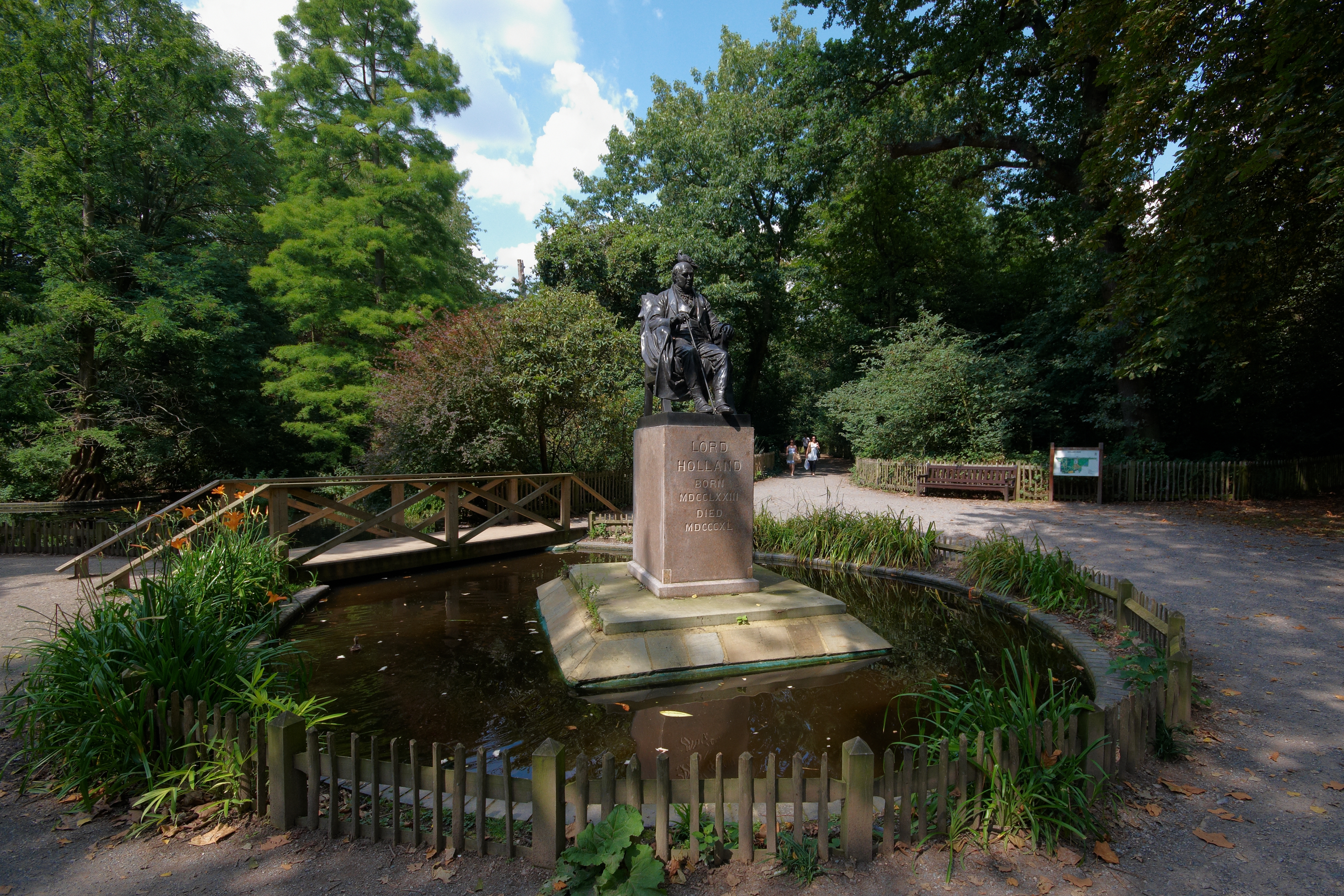
One of the notable features of Holland Park is the eponymous park after which it is named. Holland Park covers an area of approximately 54 acres and is a popular spot for both locals and visitors. The park boasts beautiful gardens, woodlands, and sports facilities, including tennis courts, a cricket pitch, and a football field. Additionally, there is a children's playground and a picturesque Japanese garden within the park.
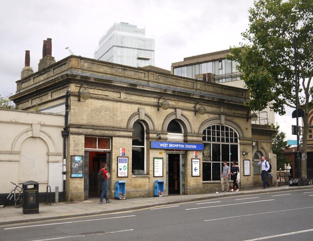
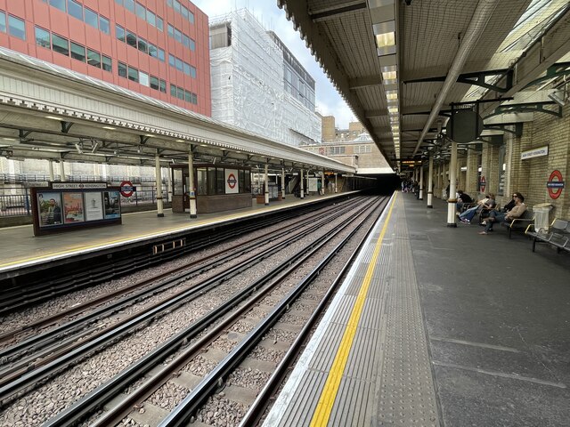
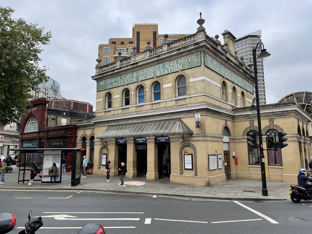
The area is well-served by transportation links, with several bus routes connecting Holland Park to other parts of London. The nearest railway station is West Drayton, providing access to the Great Western Main Line, which offers frequent services to London Paddington and other destinations.
Holland Park, Middlesex, offers residents a tranquil and green environment, while still being within easy reach of central London and its amenities. It is a sought-after location for families and professionals looking for a suburban retreat with convenient access to the city.
If you have any feedback on the listing, please let us know in the comments section below.
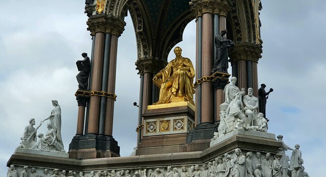
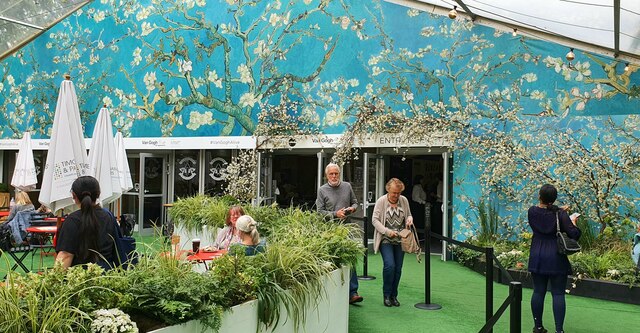
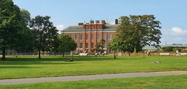
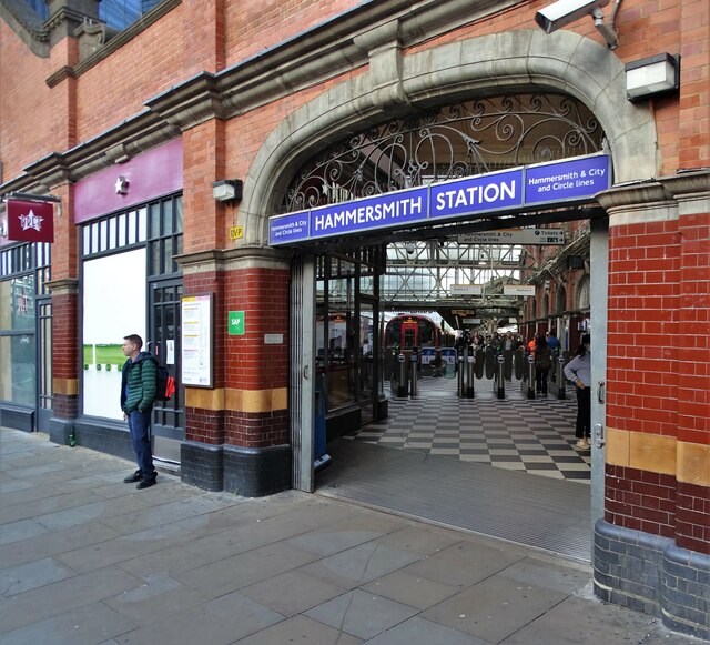
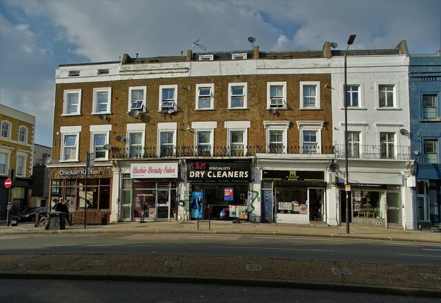
Holland Park Images
Images are sourced within 2km of 51.503201/-0.20436404 or Grid Reference TQ2479. Thanks to Geograph Open Source API. All images are credited.


Holland Park is located at Grid Ref: TQ2479 (Lat: 51.503201, Lng: -0.20436404)
Unitary Authority: Kensington and Chelsea
Police Authority: Metropolitan
What 3 Words
///bleak.monks.length. Near Kensington, London
Nearby Locations
Related Wikis
Holland Park
Holland Park is an area of Kensington, on the western edge of Central London, that lies within the Royal Borough of Chelsea and Kensington, and largely...
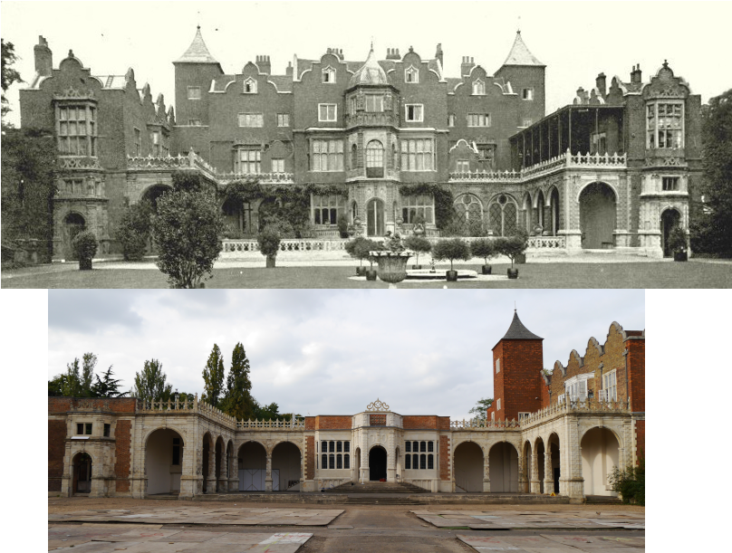
Holland House
Holland House, originally known as Cope Castle, was an early Jacobean country house in Kensington, London, situated in a country estate that is now Holland...

Opera Holland Park
Opera Holland Park is a summer opera company which produces an annual season of opera performances, staged under a temporary canopy in front of the remains...
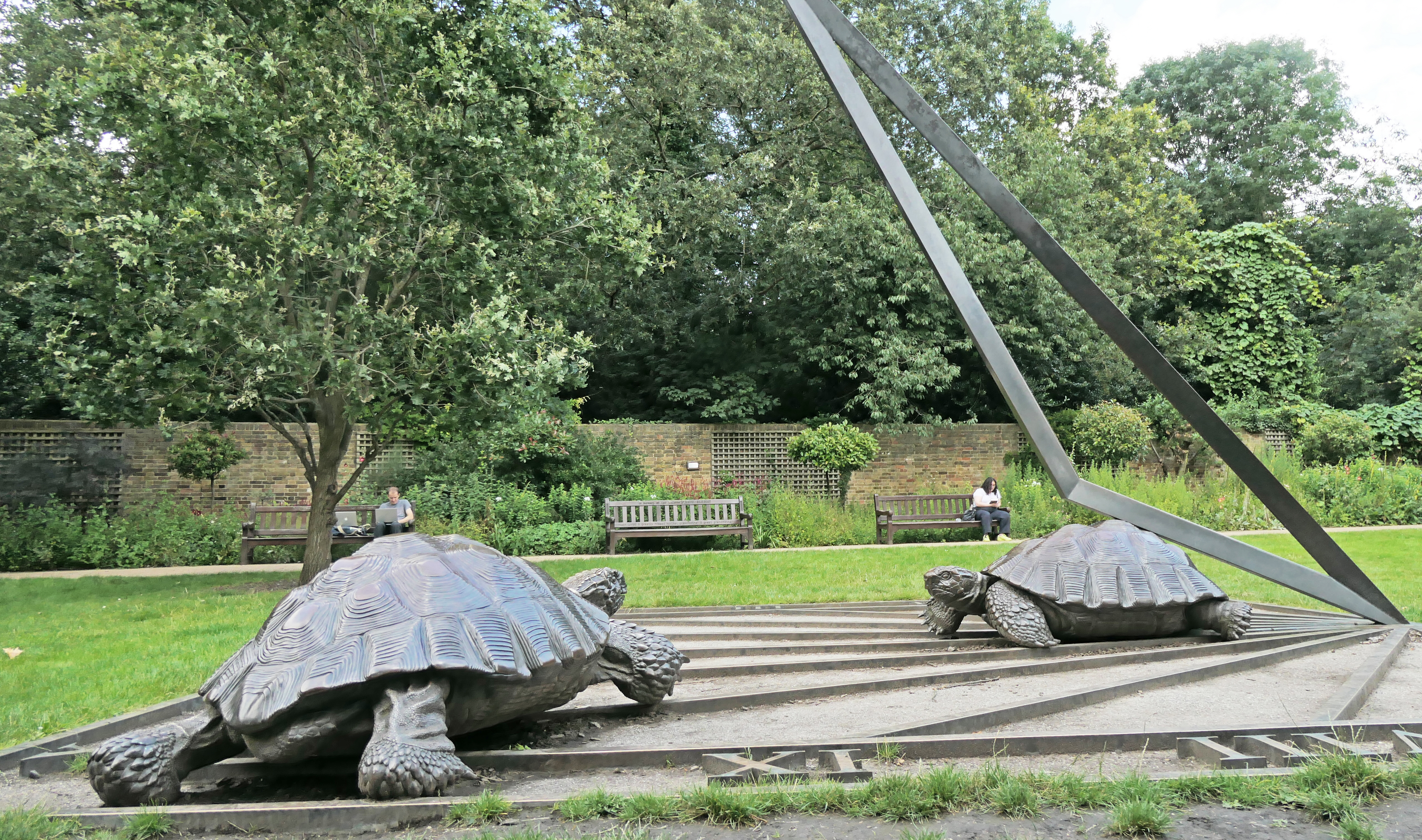
Tortoises with Triangle and Time
Tortoises with Triangle and Time is an outdoor bronze sculpture in Holland Park, Kensington, London, England, adjacent to Abbotsbury Road. The work is...
Nearby Amenities
Located within 500m of 51.503201,-0.20436404Have you been to Holland Park?
Leave your review of Holland Park below (or comments, questions and feedback).