Cophall Wood
Wood, Forest in Sussex Horsham
England
Cophall Wood

Cophall Wood is a captivating woodland located in West Sussex, England. Spread across approximately 250 acres, this enchanting forest is nestled in the heart of the Sussex countryside and offers a tranquil and serene escape from the bustling city life.
The wood is predominantly composed of a variety of broadleaf trees, including oak, beech, and ash, which create a rich and diverse ecosystem. The dense canopy formed by these trees provides shelter to an array of wildlife, making it a haven for nature enthusiasts and birdwatchers. Visitors can often spot native species such as deer, badgers, foxes, and numerous species of birds.
Cophall Wood is a popular destination for outdoor activities, with several well-maintained footpaths and trails that crisscross through the woodland. These paths allow visitors to explore the beauty of the forest at their own pace, immersing themselves in the tranquil surroundings. The wood is also home to a small pond, adding to its charm and providing a habitat for various aquatic species.
In addition to its natural beauty, Cophall Wood also holds historical significance. The wood is believed to be ancient, with evidence of human activity dating back to the Bronze Age. The area has been used for charcoal production and timber harvesting in the past, further adding to its historical value.
Overall, Cophall Wood is a captivating and peaceful woodland that offers a serene escape for nature lovers, hikers, and history enthusiasts alike. Its natural beauty, diverse wildlife, and rich history make it a must-visit destination in Sussex.
If you have any feedback on the listing, please let us know in the comments section below.
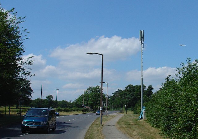
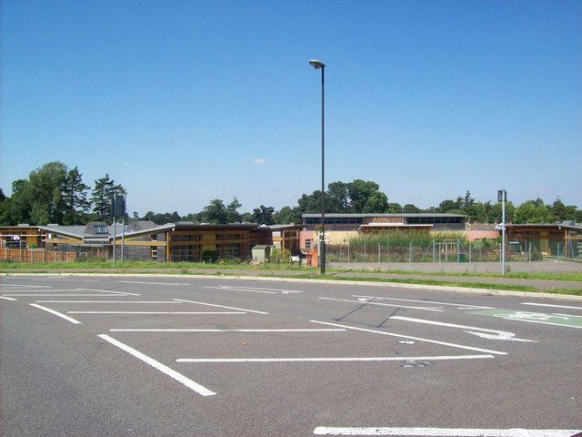
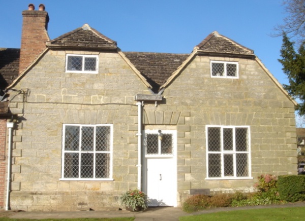
Cophall Wood Images
Images are sourced within 2km of 51.134247/-0.21959979 or Grid Reference TQ2438. Thanks to Geograph Open Source API. All images are credited.


Cophall Wood is located at Grid Ref: TQ2438 (Lat: 51.134247, Lng: -0.21959979)
Administrative County: West Sussex
District: Horsham
Police Authority: Sussex
What 3 Words
///upset.pets.actor. Near Langley Green, West Sussex
Nearby Locations
Related Wikis
Ifield Friends Meeting House
The Ifield Friends Meeting House is a Friends meeting house (Quaker place of worship) in the Ifield neighbourhood of Crawley, a town and borough in West...

St Margaret's Church, Ifield
St Margaret's Church is an Anglican church in the Ifield neighbourhood of Crawley, a town and borough in West Sussex, England. It is the ancient parish...

Ifield, West Sussex
Ifield is a former village and now one of 14 neighbourhoods within the town of Crawley in West Sussex, England. Ifield is in the west of the town and...

Manor Royal
Manor Royal is an industrial zone within the town of Crawley in West Sussex, England. Manor Royal is in the north of the town near to Gatwick Airport....

Gossops Green & Ifield East (electoral division)
Gossops Green & Ifield East is an electoral division of West Sussex in the United Kingdom, and returns one member to sit on West Sussex County Council...

Langley Green & West Green (electoral division)
Langley Green & West Green is an electoral division of West Sussex in the United Kingdom, and returns one member to sit on West Sussex County Council....

Langley Green, West Sussex
Langley Green is a one of 14 neighbourhoods within the town of Crawley in West Sussex, England. Langley Green is in the north-west of the town and is bordered...
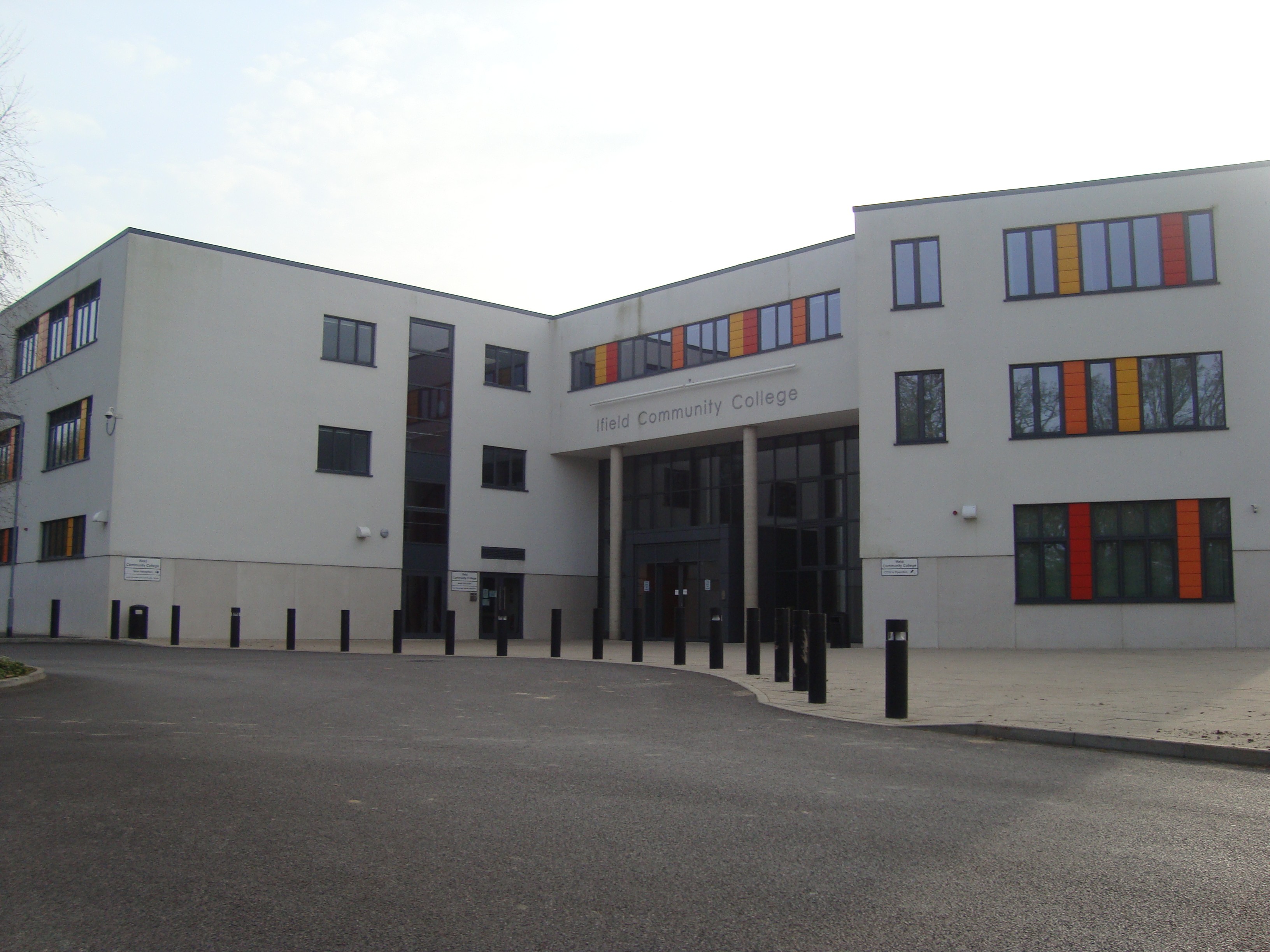
Ifield Community College
Ifield Community College (ICC) is a maintained comprehensive secondary school in Crawley, England, for pupils aged 11 to 18. == Admissions == It caters...
Nearby Amenities
Located within 500m of 51.134247,-0.21959979Have you been to Cophall Wood?
Leave your review of Cophall Wood below (or comments, questions and feedback).