Avenue Plantation

Wood, Forest in Lincolnshire

England

Avenue Plantation

Equestrian facility near Ashby-cum-Fenby: aerial 2021
Equestrian facility near Ashby-cum-Fenby: aerial 2021 Credit: Simon Tomson

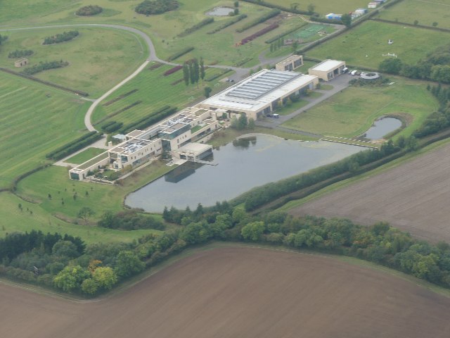
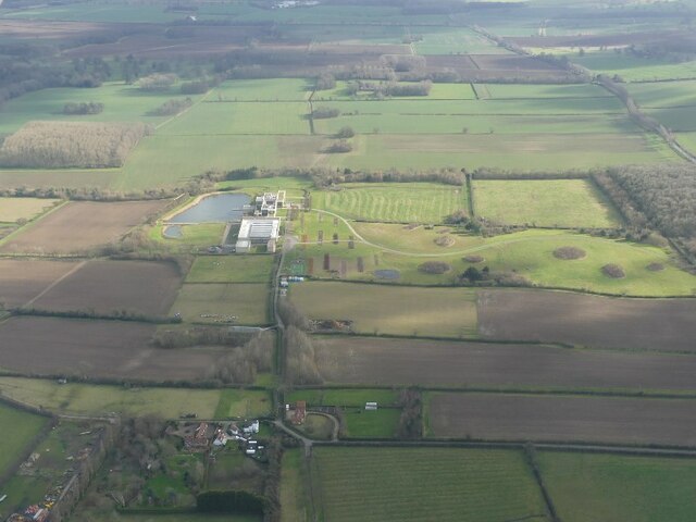
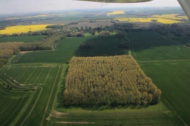
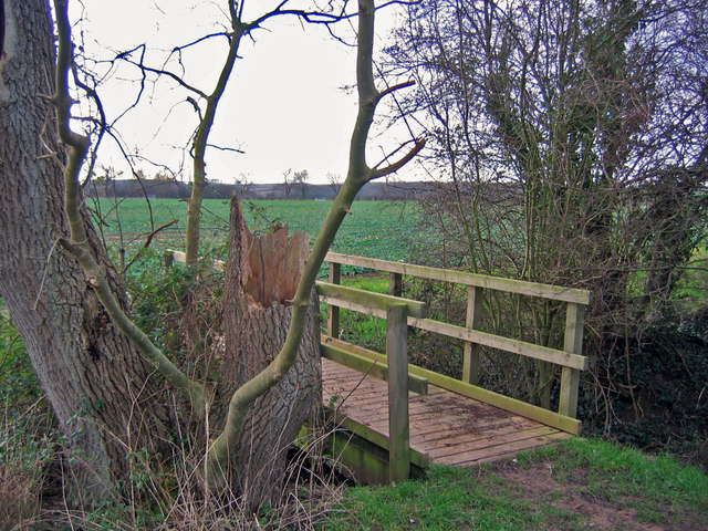
Avenue Plantation is a picturesque woodland area located in Lincolnshire, England. Situated near the village of Wood, the plantation spans over a vast area, offering a serene and tranquil environment for visitors to enjoy.

This woodland retreat is renowned for its diverse range of tree species, including oak, beech, and pine. The dense canopy created by these towering trees provides a cool and shady atmosphere, perfect for escaping the summer heat. As visitors venture deeper into the plantation, they will be greeted by a carpet of wildflowers, adding a splash of color to the natural landscape.

Avenue Plantation is also home to a variety of wildlife, making it a popular spot for nature enthusiasts. Squirrels scurry through the branches, while birdsong fills the air, creating a soothing symphony of nature's melodies. The plantation is also home to several species of deer, adding a touch of elegance to the already enchanting scenery.

For those seeking outdoor activities, Avenue Plantation offers several walking trails, allowing visitors to explore the woodland at their own pace. These well-maintained paths wind through the plantation, offering glimpses of stunning vistas and hidden gems along the way.

The plantation is open to the public throughout the year, with no admission fee. It is a popular destination for families, couples, and individuals seeking a peaceful retreat in the heart of nature. Avenue Plantation, Lincolnshire is a true haven for those seeking solace amidst the beauty of the natural world.

If you have any feedback on the listing, please let us know in the comments section below.

Avenue Plantation Images

Images are sourced within 2km of 53.478992/-0.12366769 or Grid Reference TF2499. Thanks to Geograph Open Source API. All images are credited.

Equestrian facility near Ashby-cum-Fenby: aerial 2021
Across Ashby cum Fenby to the equestrian facility at South Farm: aerial 2022
Equestrian facility at South Farm, Ashby cum Fenby: aerial 2022 See also <a href="https://www.geograph.org.uk/photo/7144747">TF2599 : Across Ashby cum Fenby to the equestrian facility at South Farm: aerial 2022</a>.
Equestrian facility at South Farm, Ashby cum Fenby: aerial 2022
Fenby Wood: aerial 2022
Hawerby Hall Farm: aerial 2022
St.Martin's church, East Ravendale, Lincs. By James Fowler in 1857 in the Early English style
St.Martin's church, East Ravendale, Lincs.
By James Fowler in 1857 in the Early English style
View from Ravendale Top Towards Petterhills and the coast beyond from Ravendale Top
View from Ravendale Top
Towards Petterhills and the coast beyond from Ravendale Top
Footbridge  Looking SW from the top NE corner of the grid square which is all farmland.
Footbridge
Looking SW from the top NE corner of the grid square which is all farmland.
Track To East Revendale The track heads east from the road adjacent to a small disused quarry.
Track To East Revendale
The track heads east from the road adjacent to a small disused quarry.
East Ravendale village A lovely thatched cottage beyond the church, where the road turns into tracks.
East Ravendale village
A lovely thatched cottage beyond the church, where the road turns into tracks.
East Ravendale School A lovely little village school, built in 1856 when the population was around 100.
East Ravendale School
A lovely little village school, built in 1856 when the population was around 100.
Farm track Looking west with the Wolds in the distance.  According to the OS maps we are at a height of about 22 metres above mean sea level at this point.
Farm track
Looking west with the Wolds in the distance. According to the OS maps we are at a height of about 22 metres above mean sea level at this point.
Valley road to the east With the woods at East Ravendale in the distance, the lane curves almost continuously on its journey east.
Valley road to the east
With the woods at East Ravendale in the distance, the lane curves almost continuously on its journey east.
Cottage near East Ravendale A delightful building in a glorious setting.  Who could ask for anything more.
Cottage near East Ravendale
A delightful building in a glorious setting. Who could ask for anything more.
Ravendale crossroads The view of the main B1203 heading away south to Binbrook and beyond.
Ravendale crossroads
The view of the main B1203 heading away south to Binbrook and beyond.
East Ravendale view The school is to the right and the road heads out towards the B1203.
East Ravendale view
The school is to the right and the road heads out towards the B1203.
Thatched cottage, East Ravendale An excellent example, found near to the church on the eastern side of the village.
Thatched cottage, East Ravendale
An excellent example, found near to the church on the eastern side of the village.
High road or Low road? Confusion existed here for a couple of moments as the OS map clearly indicates a bridlepath heads to Ashby-cum-Fenby, and suggests the road to the left is the right one, but no, the road to the right, although it looks wrong, is indeed the right one with the Ashby path heading left a little way along.
High road or Low road?
Confusion existed here for a couple of moments as the OS map clearly indicates a bridlepath heads to Ashby-cum-Fenby, and suggests the road to the left is the right one, but no, the road to the right, although it looks wrong, is indeed the right one with the Ashby path heading left a little way along.
Show me another place!

Avenue Plantation is located at Grid Ref: TF2499 (Lat: 53.478992, Lng: -0.12366769)

Unitary Authority: North East Lincolnshire

Police Authority: Humberside

What 3 Words

///hardback.hang.trash. Near Wold Newton, Lincolnshire

Related Wikis

East Ravendale

East Ravendale is a small village and civil parish in North East Lincolnshire, England. It is situated 6 miles (9.7 km) south-south-west from Grimsby,...

Ashby cum Fenby

Ashby cum Fenby is a village and civil parish in North East Lincolnshire, England, approximately 5 miles (8 km) south from Grimsby, and just east of the...

West Ravendale

West Ravendale is a hamlet in the civil parish of East Ravendale , in North East Lincolnshire, England, and approximately 8 miles (13 km) south-west from...

West Ravendale Priory

West Ravendale Priory was a Premonstratensian priory in North East Lincolnshire, England and one of nine within the historical county. The site of the...

Brigsley

Brigsley is a village and civil parish in North East Lincolnshire, England, and on the B1203 road, 1 mile (1.6 km) south from Waltham. According to the...

Wold Newton, Lincolnshire

Wold Newton is a village and civil parish in North East Lincolnshire, England. It is situated just over 1 mile (1.6 km) west from the A18 road, 7 miles...

Grainsby

Grainsby is a hamlet and civil parish in the East Lindsey district of Lincolnshire, England. It is situated 5 miles (8 km) south from Grimsby, and just...

Hatcliffe

Hatcliffe is a small village and civil parish in rural North East Lincolnshire, England. It is situated 6 miles (10 km) south-west from Grimsby and 1.5...

Nearby Amenities

Located within 500m of 53.478992,-0.12366769
Power: pole
Lat/Long: 53.4813323/-0.1180452
Power: pole
Lat/Long: 53.4817948/-0.121604
Power: pole
Lat/Long: 53.4820322/-0.123363
Power: pole
Lat/Long: 53.4822449/-0.1251789
Power: pole
Lat/Long: 53.4825857/-0.1275881
College Farm
Place: farm
Source: Bing
Lat/Long: 53.4787073/-0.1305779
Barrier: kissing_gate
Kissing Gate: circular_profile
Lat/Long: 53.4793822/-0.1163784
The data included in this document is from www.openstreetmap.org. The data is made available under ODbL.

Have you been to Avenue Plantation?

Leave your review of Avenue Plantation below (or comments, questions and feedback).