Aldercote's Wood
Wood, Forest in Sussex Mid Sussex
England
Aldercote's Wood
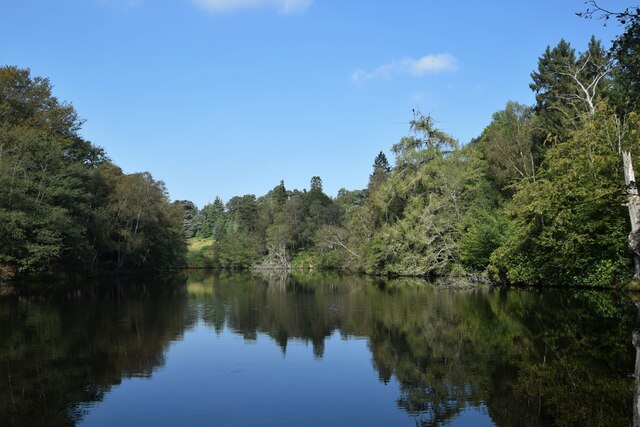
Aldercote's Wood, located in the picturesque county of Sussex, England, is a captivating forest that enchants visitors with its natural beauty and rich biodiversity. Spread across a sprawling area, the wood is a haven for nature enthusiasts and offers a serene retreat from the hustle and bustle of urban life.
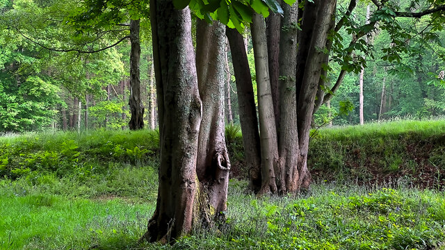
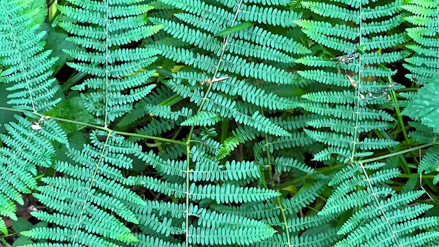
The wood is named after the vibrant alder trees that dominate the landscape, lending a sense of tranquility to the surroundings. These trees create a lush canopy, filtering the sunlight and casting dappled shadows on the forest floor. The wood is also home to a wide variety of other tree species, including oak, beech, and birch, adding to its diverse ecosystem.
Walking through Aldercote's Wood, one can witness a plethora of flora and fauna. The forest floor is carpeted with a vibrant tapestry of wildflowers, including bluebells, primroses, and wood anemones, which bloom in a riot of colors during springtime. The wood is also a sanctuary for many animal species, such as deer, foxes, badgers, and a myriad of bird species, providing a haven for wildlife.
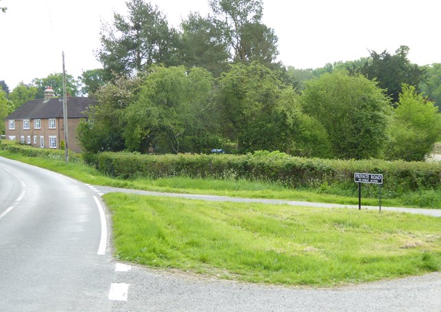
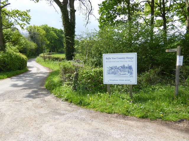
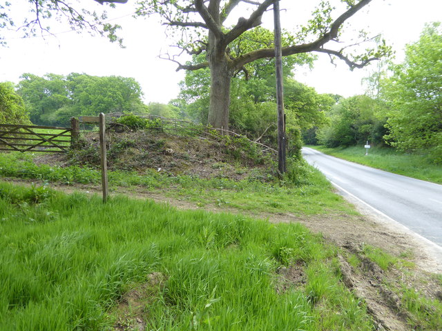
The wood offers several walking trails and footpaths, allowing visitors to explore its hidden treasures. The tranquil atmosphere and the melodious sounds of birdsong create a truly immersive experience in nature. The wood is a popular destination for nature walks, photography, and birdwatching, attracting visitors from near and far.
Aldercote's Wood is not only a scenic escape but also an important habitat for preserving the region's natural heritage. It serves as a reminder of the importance of conserving and protecting these enchanting woodland areas for future generations to cherish and enjoy.
If you have any feedback on the listing, please let us know in the comments section below.
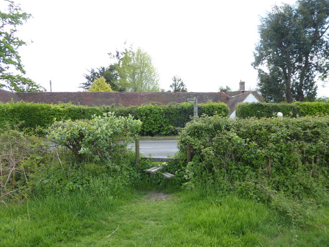
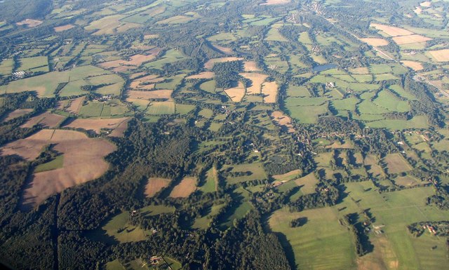
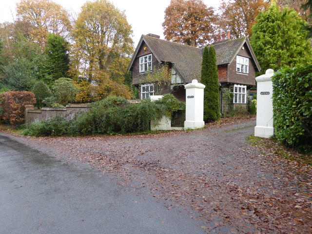
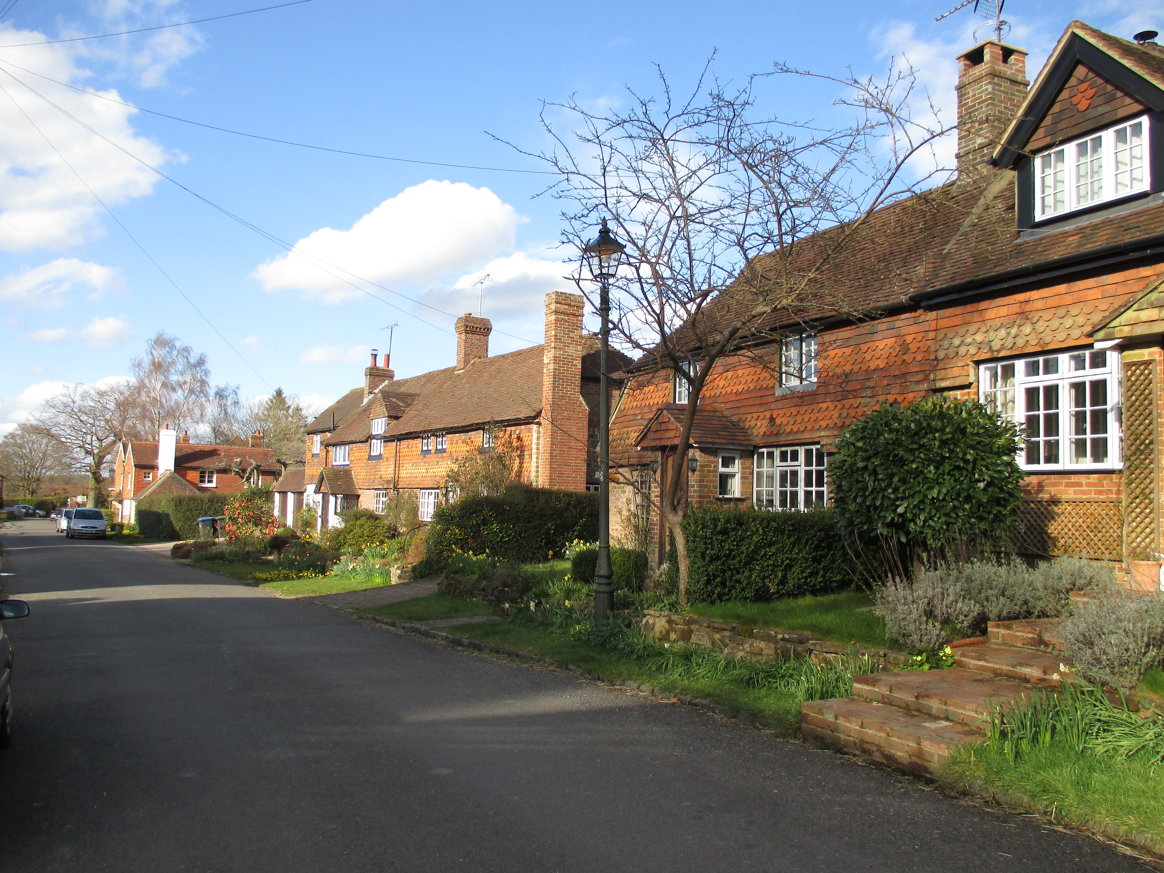
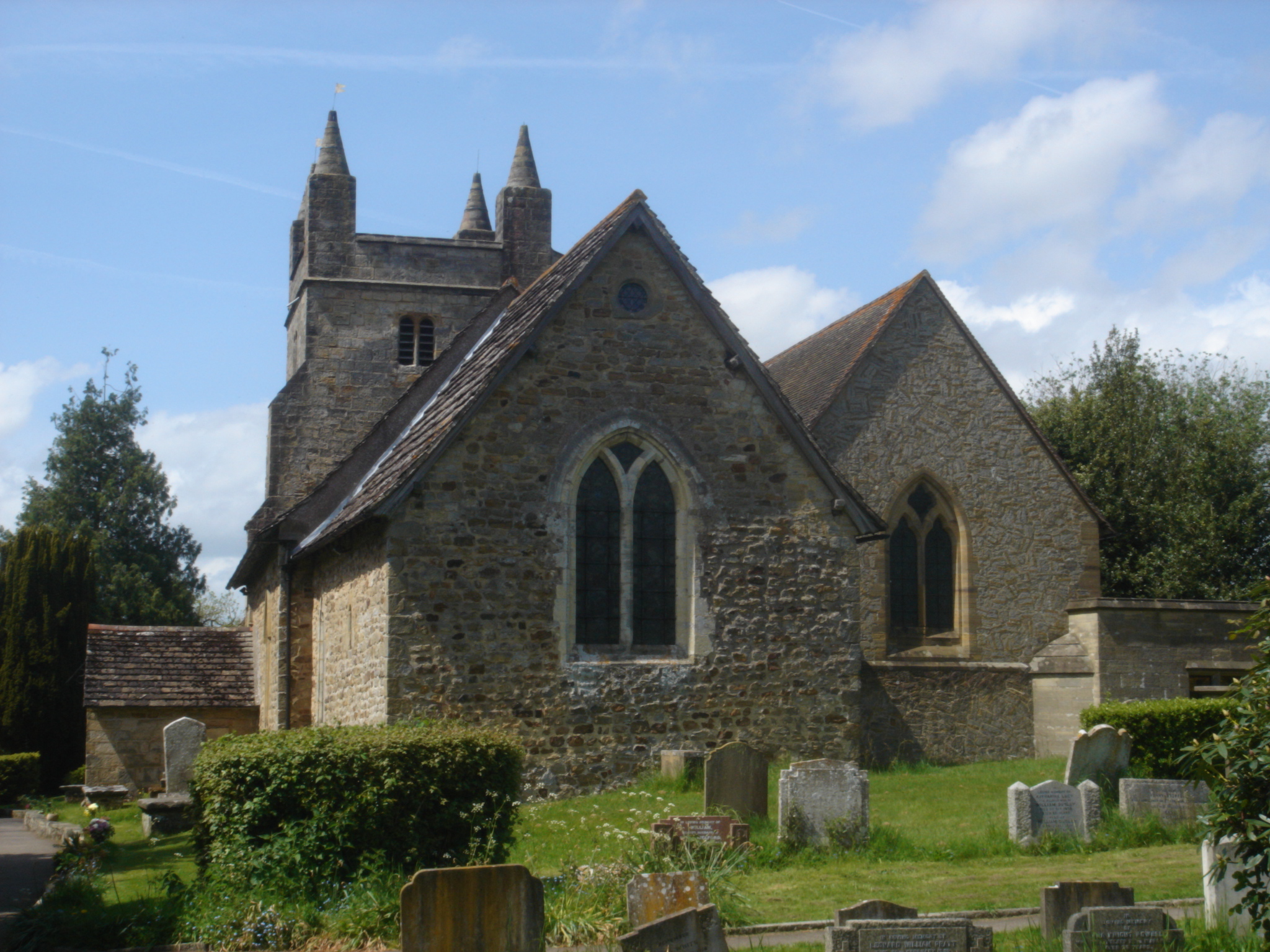
Aldercote's Wood Images
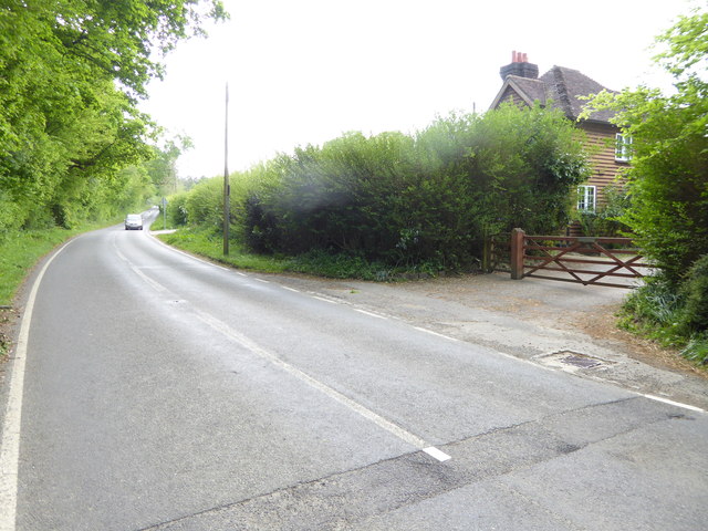
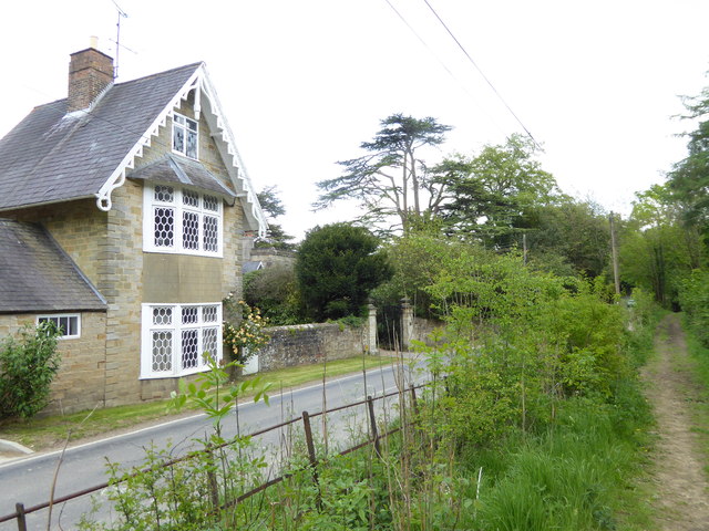
Images are sourced within 2km of 51.010821/-0.22689619 or Grid Reference TQ2424. Thanks to Geograph Open Source API. All images are credited.

Aldercote's Wood is located at Grid Ref: TQ2424 (Lat: 51.010821, Lng: -0.22689619)
Administrative County: West Sussex
District: Mid Sussex
Police Authority: Sussex
What 3 Words
///brink.pickles.insects. Near Cowfold, West Sussex
Nearby Locations
Related Wikis

Colwood, West Sussex
Colwood is a village near Warninglid in West Sussex, England. It is the site of Colwood Manor. == References == The geographic coordinates are from the...
Warninglid
Warninglid (historically known as Warninglyth and Warningeld) is a small village in the Mid Sussex District of West Sussex, England. It lies on the B2115...

Wykehurst Place
Wykehurst Place (or Park) is a Gothic Revival mansion in Bolney, West Sussex, England, resembling more the châteaux of the Loire than an English manor...

Crabtree, West Sussex
Crabtree is a hamlet in the parish of Lower Beeding and in Horsham District of West Sussex, England. It lies on the A281 road 4.4 miles (7.1 km) southeast...

Leonardslee
Leonardslee is an English country house and English landscape garden and woodland garden in Lower Beeding, near Horsham, West Sussex, England. The Grade...

Bolney
Bolney is a village and civil parish in the Mid Sussex district of West Sussex, England. It lies 36 miles (58 km) south of London, 11 miles (18 km) north...
St Mary Magdalene's Church, Bolney
St Mary Magdalene's Church is an Anglican church in the village of Bolney in Mid Sussex, one of seven local government districts in the English county...
Newells Preparatory School
Newells Preparatory School came to Lower Beeding, Sussex, in 1946. It has been at Handcross and known as Handcross Park School since 1968. It merged with...
Nearby Amenities
Located within 500m of 51.010821,-0.22689619Have you been to Aldercote's Wood?
Leave your review of Aldercote's Wood below (or comments, questions and feedback).