Gamlingay Wood
Wood, Forest in Cambridgeshire South Cambridgeshire
England
Gamlingay Wood
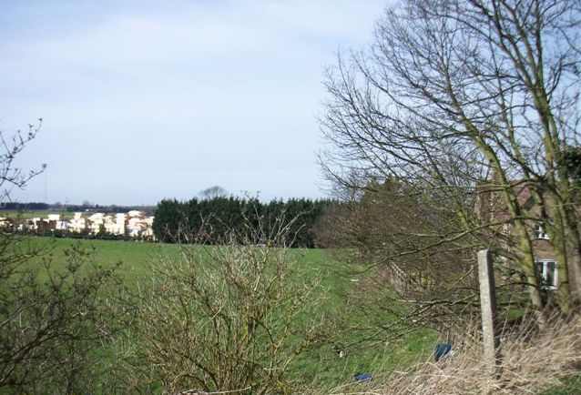
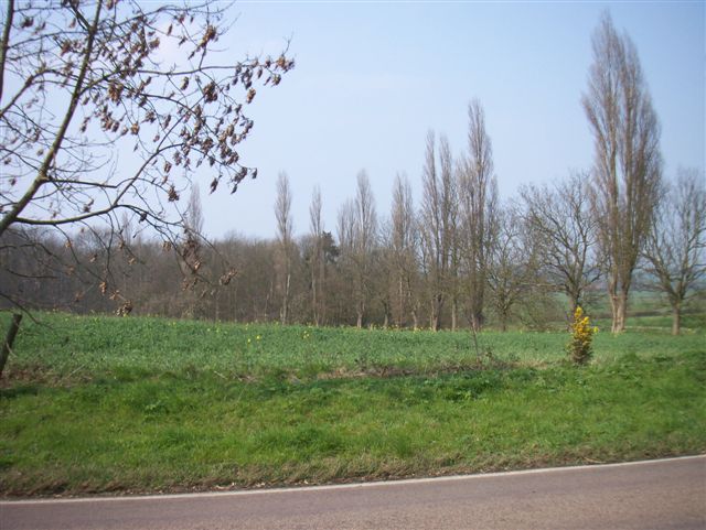
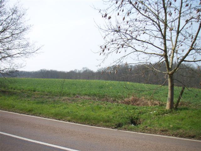
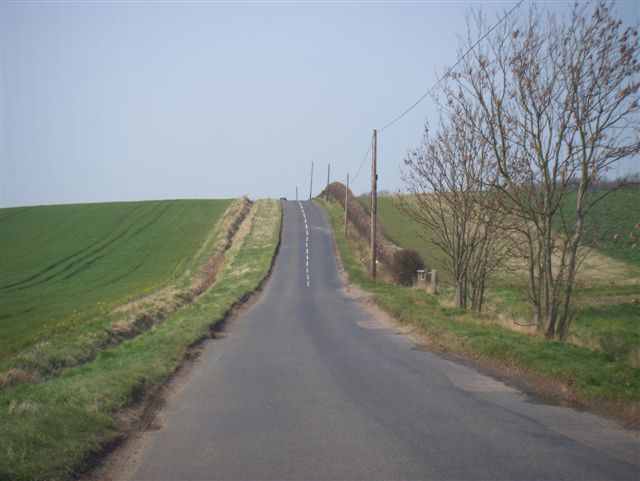
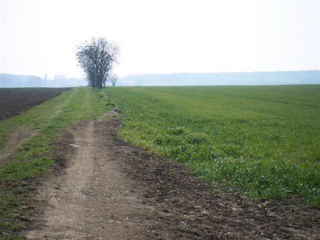
Gamlingay Wood is a beautiful woodland area located in the county of Cambridgeshire, England. It covers an area of approximately 70 hectares and is known for its rich biodiversity and natural beauty. The wood is situated near the village of Gamlingay, and is easily accessible to visitors.
The woodland is predominantly made up of oak and ash trees, with a variety of other tree species such as birch, beech, and hawthorn also present. The diverse range of trees provides a habitat for a wide array of wildlife, including birds, mammals, and insects.
Walking through Gamlingay Wood, visitors can enjoy the tranquil atmosphere and take in the sights and sounds of nature. The woodland floor is carpeted with an abundance of wildflowers, creating a vibrant and colorful display during the spring and summer months.
In addition to its natural beauty, Gamlingay Wood also has historical significance. It is believed to have been part of the ancient woodland that once covered much of Cambridgeshire. The wood has been managed for centuries and has provided timber for local industries.
The wood is a popular destination for nature lovers, walkers, and birdwatchers. There are several well-maintained paths and trails that allow visitors to explore the wood and discover its hidden treasures. Interpretive signs and information boards provide interesting facts about the flora, fauna, and history of the area.
Overall, Gamlingay Wood is a picturesque and ecologically valuable woodland, offering visitors a chance to connect with nature and experience the beauty of Cambridgeshire's countryside.
If you have any feedback on the listing, please let us know in the comments section below.
Gamlingay Wood Images
Images are sourced within 2km of 52.165027/-0.18486071 or Grid Reference TL2453. Thanks to Geograph Open Source API. All images are credited.

Gamlingay Wood is located at Grid Ref: TL2453 (Lat: 52.165027, Lng: -0.18486071)
Administrative County: Cambridgeshire
District: South Cambridgeshire
Police Authority: Cambridgeshire
What 3 Words
///sprinkler.trophy.hazy. Near Gamlingay, Cambridgeshire
Nearby Locations
Related Wikis

Gamlingay Wood
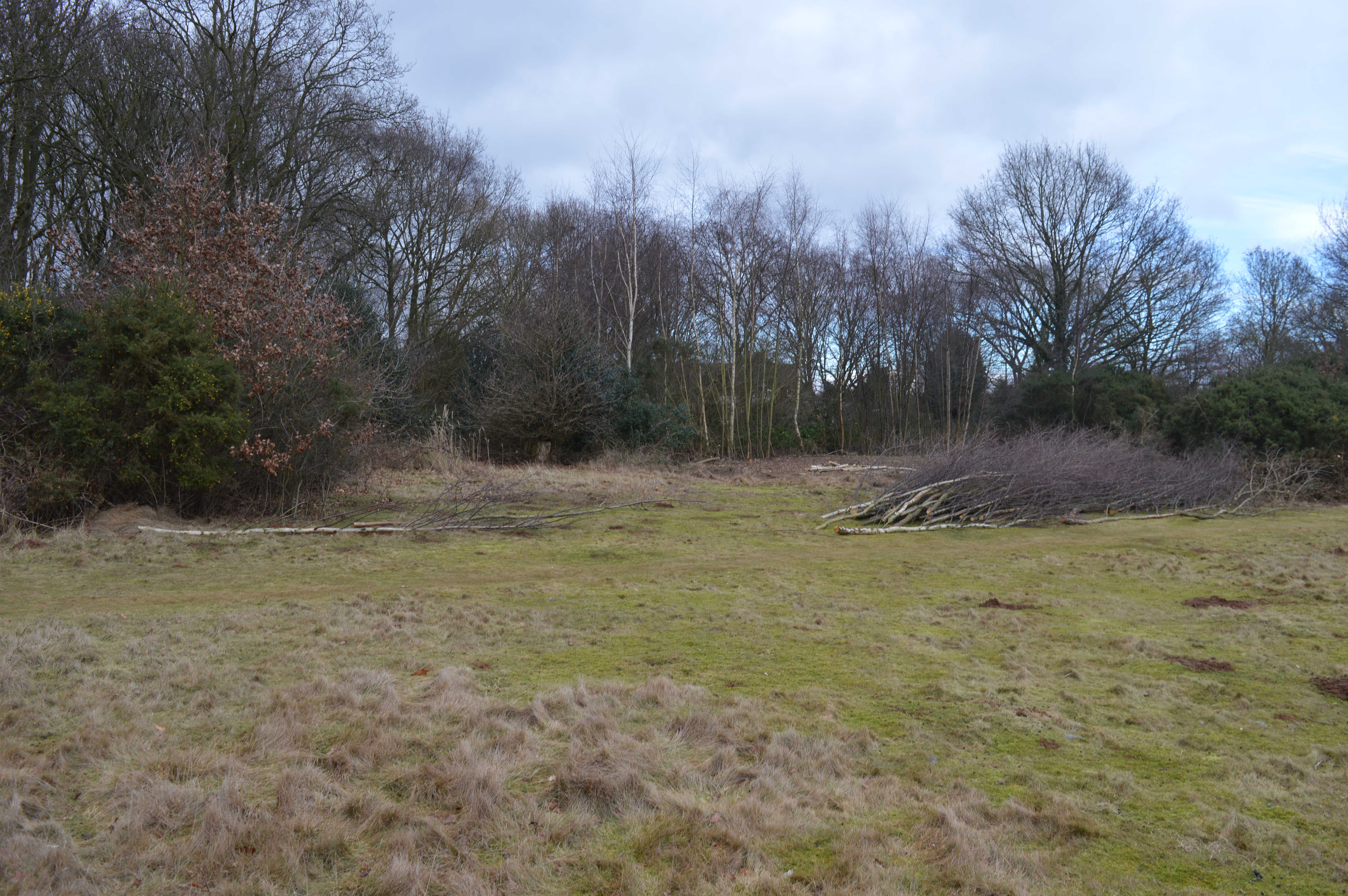
Gamlingay Wood is a 48.4-hectare (120-acre) biological Site of Special Scientific Interest (SSSI) north of Gamlingay in Cambridgeshire. It is managed by...

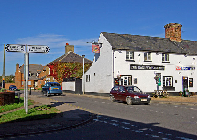
Gamlingay
Gamlingay is a village and civil parish in the South Cambridgeshire district of Cambridgeshire, England about 14 miles (23 km) west southwest of the county...
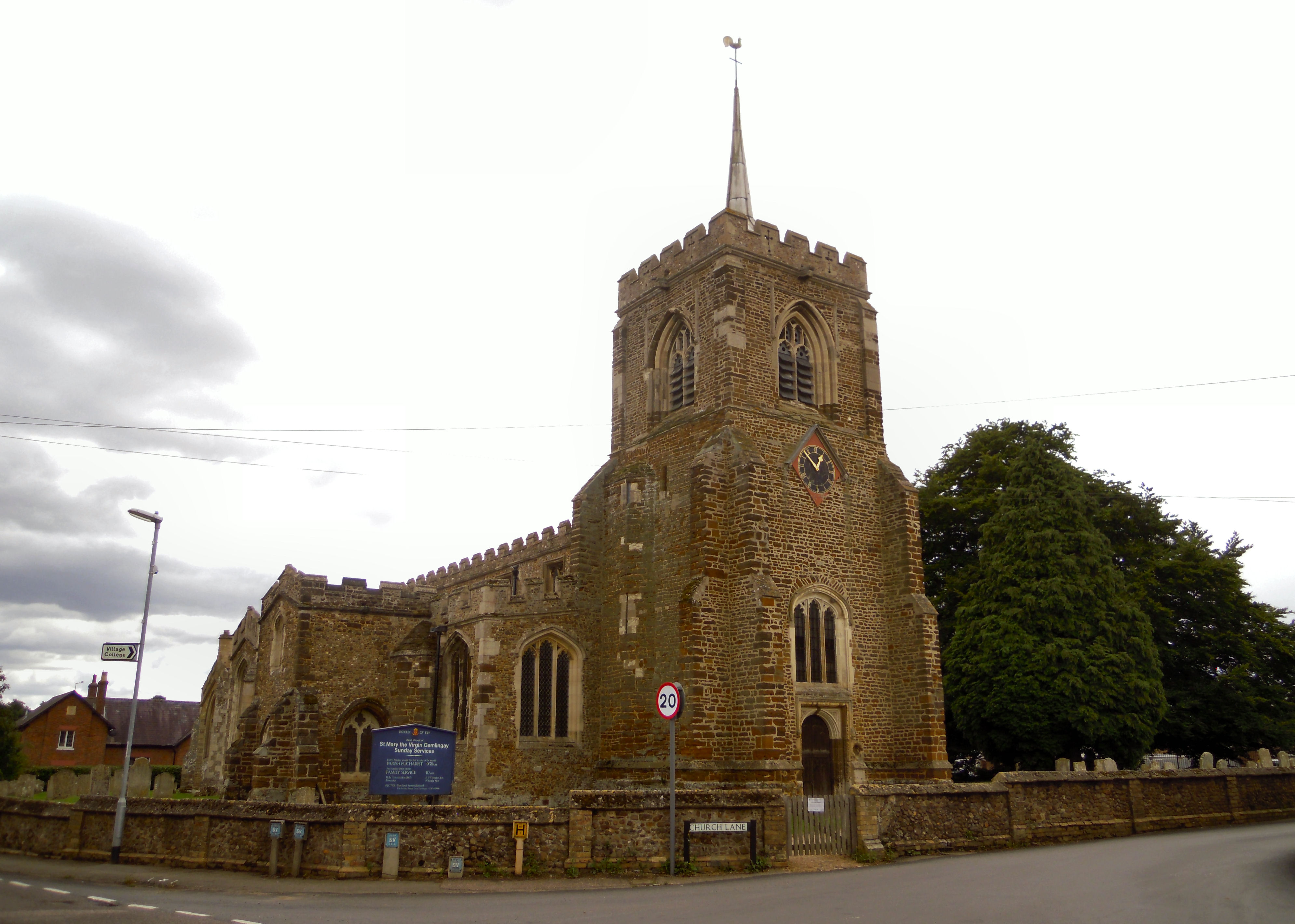
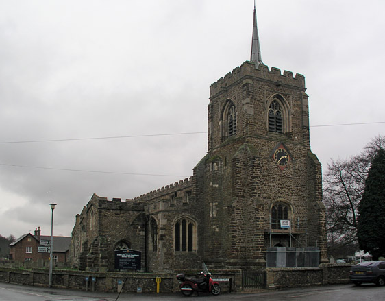
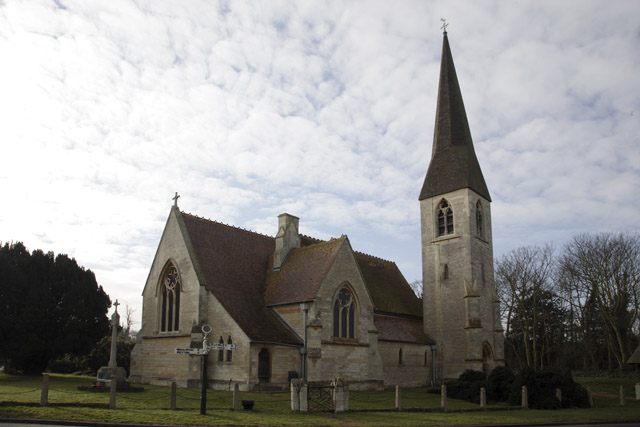
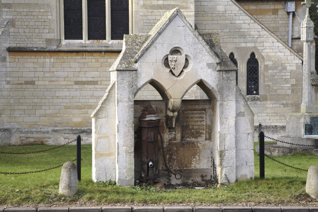
Church of St Mary the Virgin, Gamlingay
The Church of St Mary the Virgin is the parish church for the village of Gamlingay in Cambridgeshire and is dedicated to St Mary the Virgin. Gamlingay...

Gamlingay Village College
Gamlingay Village College was a middle school with academy status located in Gamlingay, Cambridgeshire, England. It was the only middle school in Cambridgeshire...

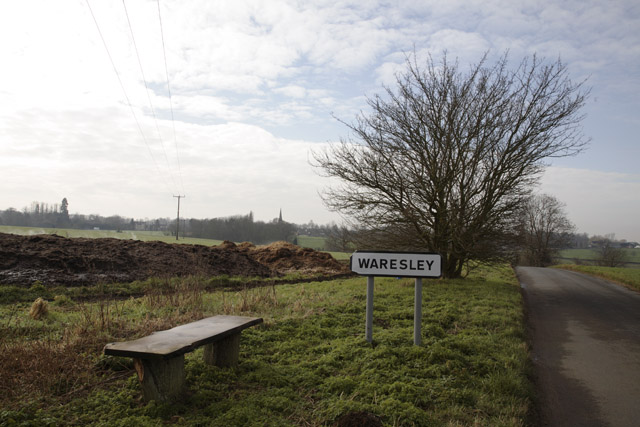
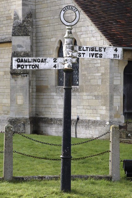
Waresley
Waresley is a village and former civil parish, now in the parish of Waresley-cum-Tetworth, in Cambridgeshire, England. Waresley lies approximately 11 miles...
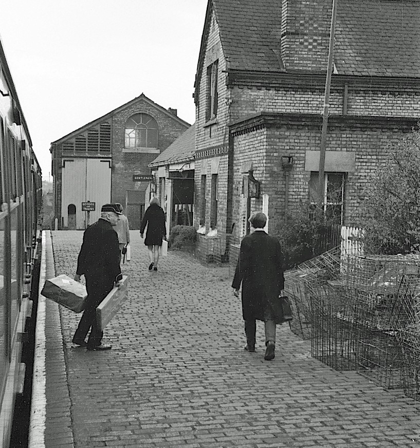
Gamlingay railway station
Gamlingay railway station was a railway station on the Varsity Line which served the small village of Gamlingay in Cambridgeshire, England. The station...
Gamlingay Cinques
Gamlingay Cinques is a 3.4-hectare (8.4-acre) nature reserve in Gamlingay in Cambridgeshire. It is managed by the Wildlife Trust for Bedfordshire, Cambridgeshire...

Weaveley and Sand Woods
Weaveley and Sand Woods is a 62.0-hectare (153-acre) biological Site of Special Scientific Interest north of Gamlingay in Cambridgeshire.This site has...
Nearby Amenities
Located within 500m of 52.165027,-0.18486071Have you been to Gamlingay Wood?
Leave your review of Gamlingay Wood below (or comments, questions and feedback).